Elevation of South White Peak, Colorado, USA
Location: United States > Colorado > La Veta >
Longitude: -105.08166
Latitude: 37.3497359
Elevation: 3178m / 10426feet
Barometric Pressure: 69KPa
Elevation Map:
Satellite Map:
Related Photos:

Western view at sunrise

Awesome view
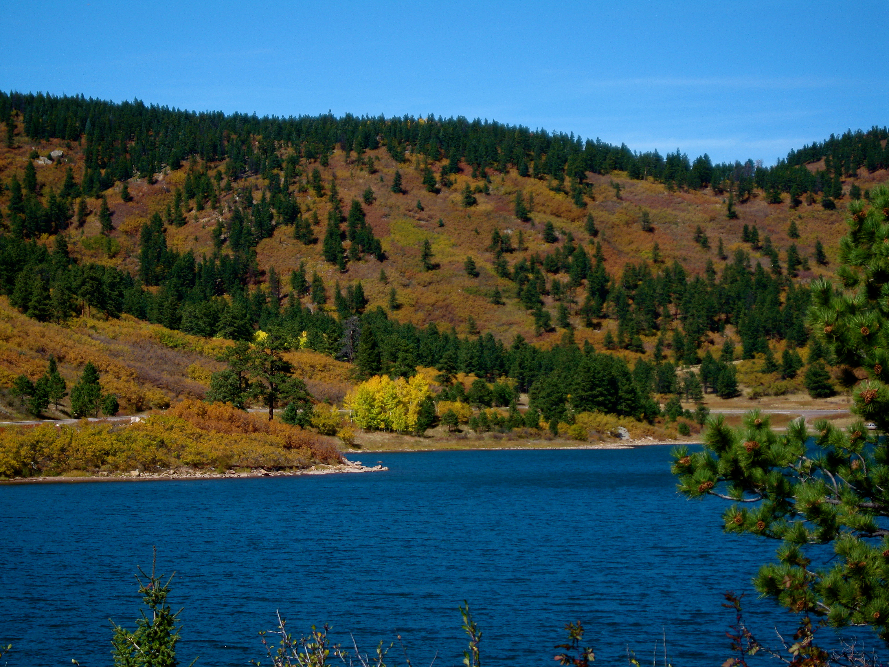
Another lake view
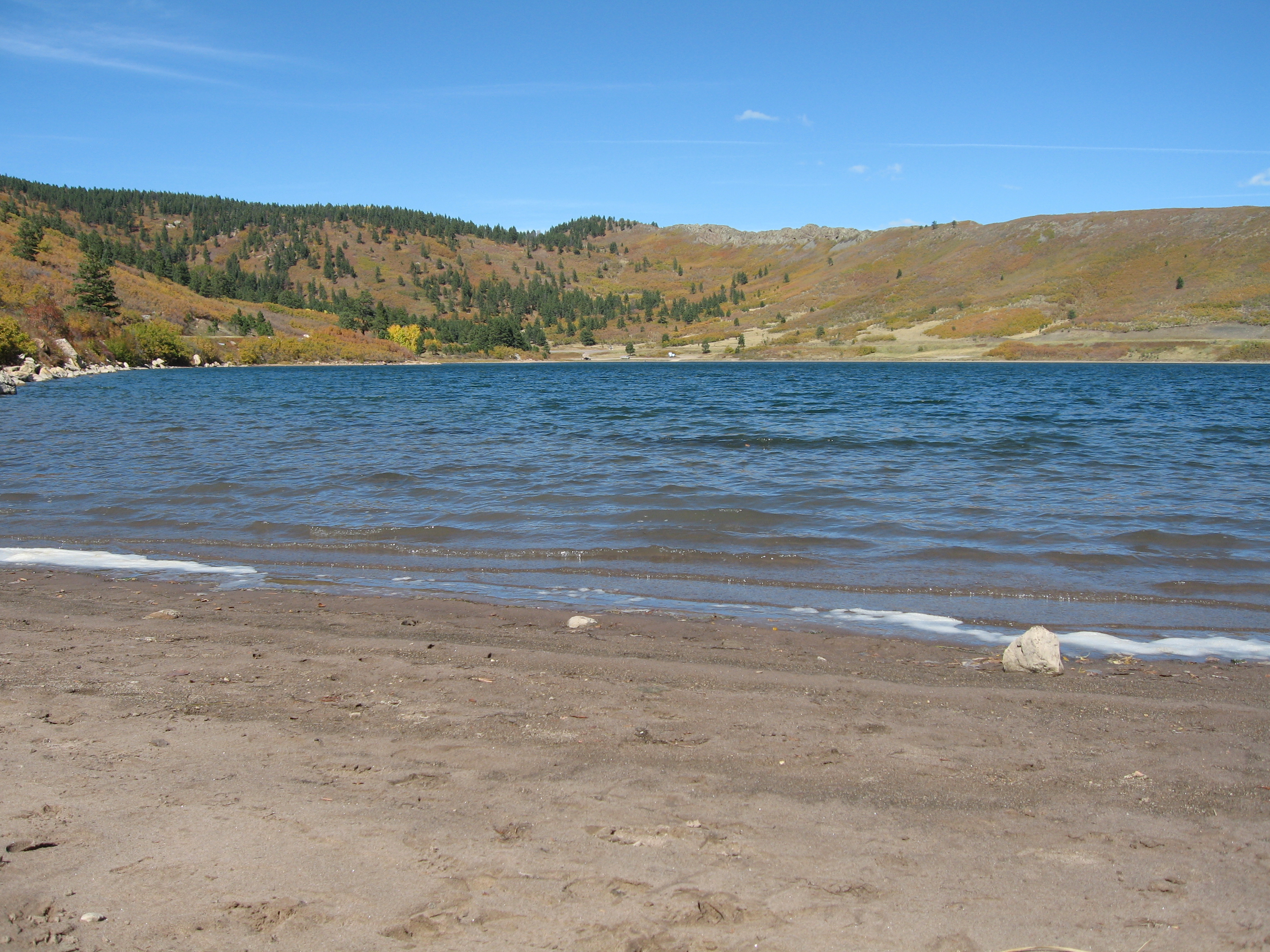
Yet another lake view

Colorado Gold_02
Aguilar & Spanish Peaks
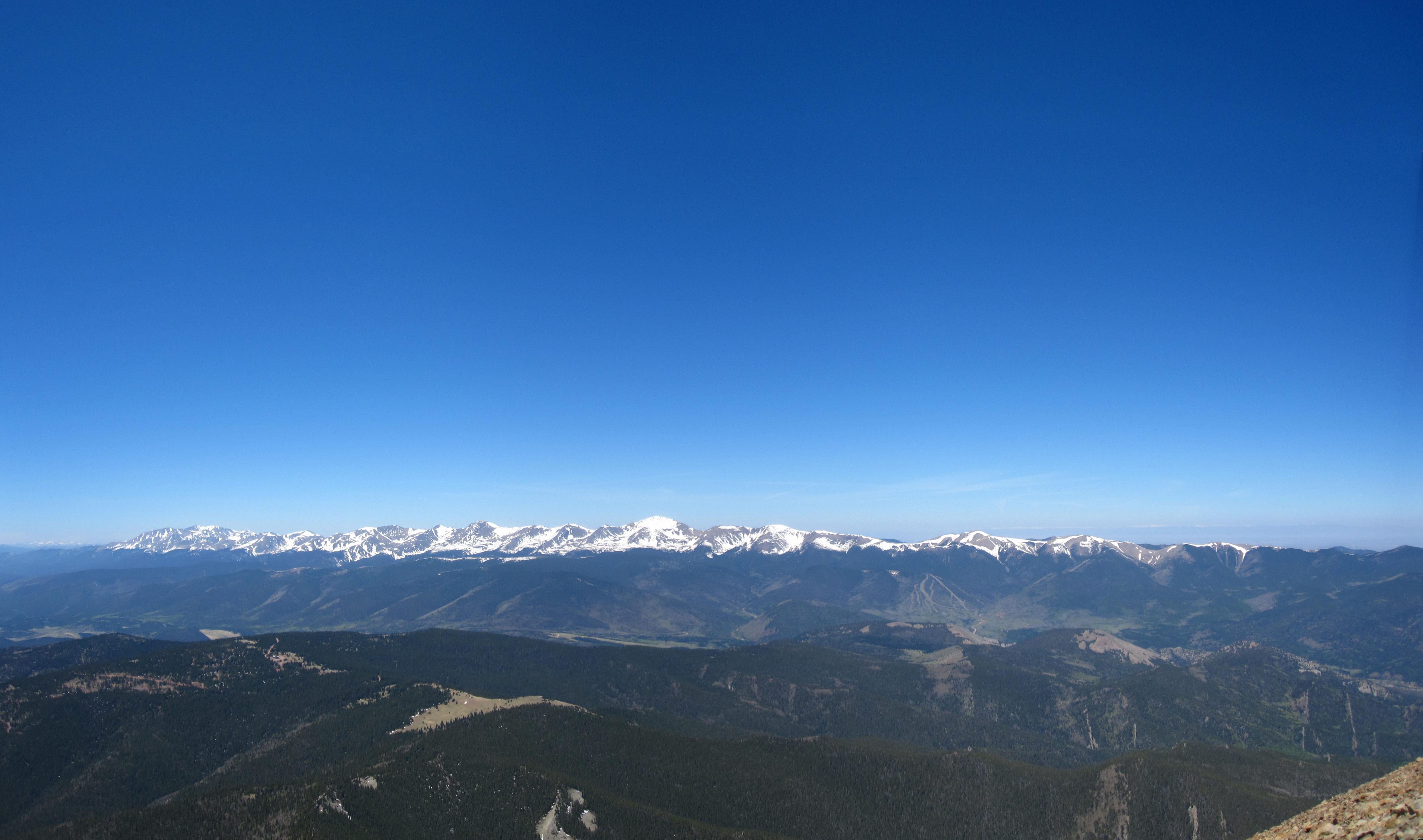
Sangre de Cristo Mountains
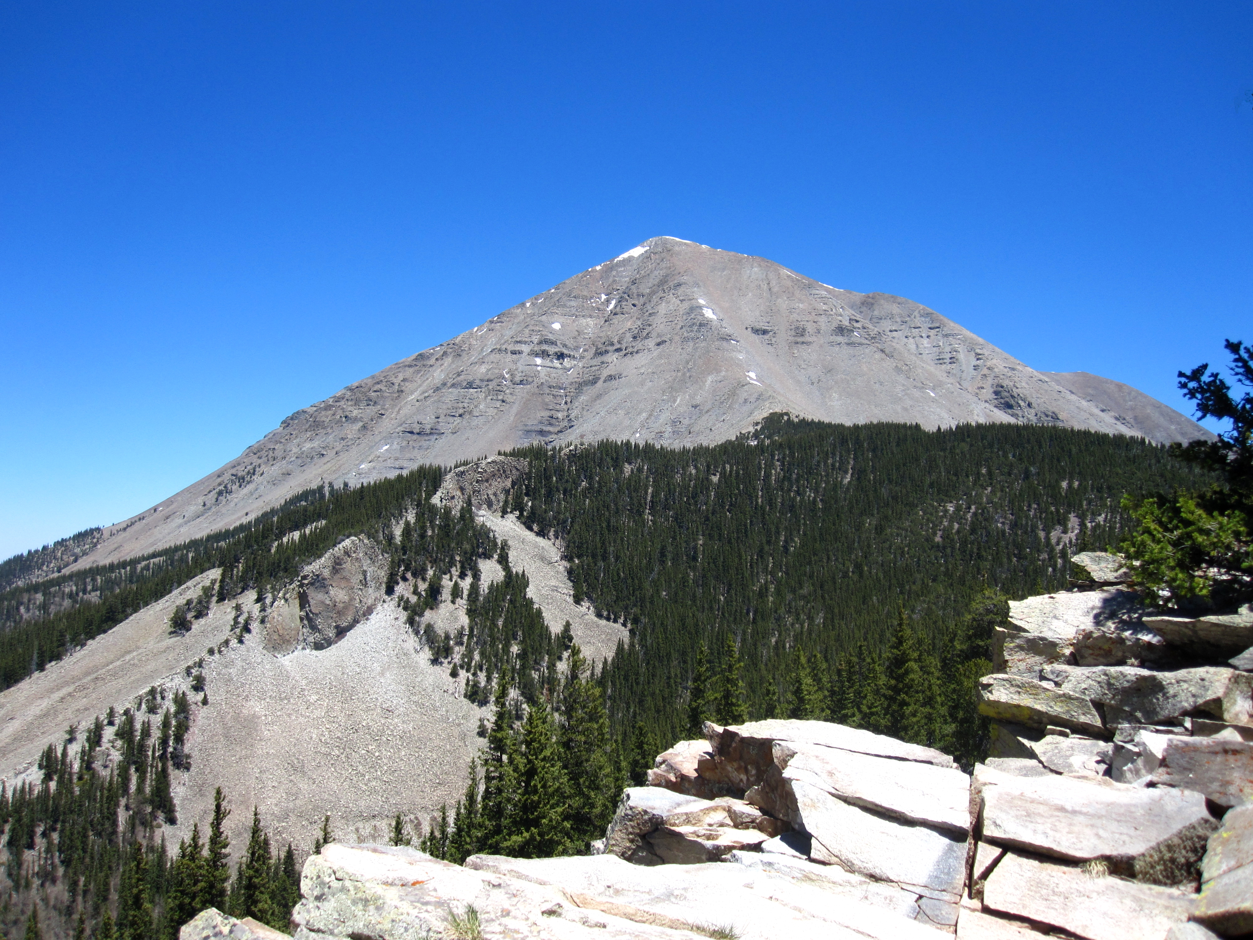
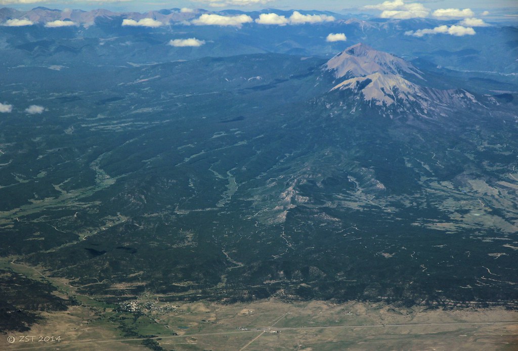
West Spanish Peak

Cliff Mist
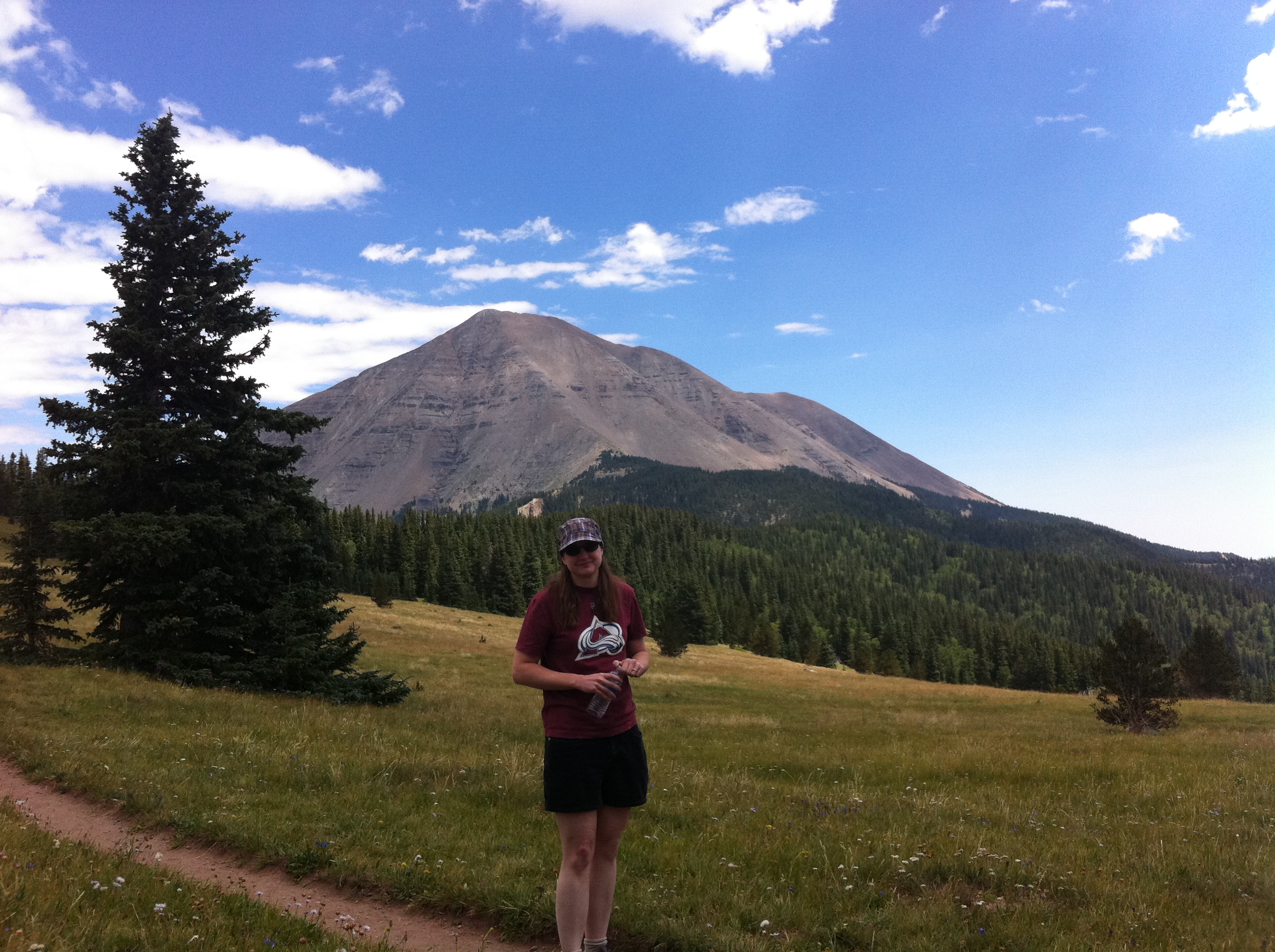
Nice View
Topographic Map of South White Peak, Colorado, USA
Find elevation by address:

Places near South White Peak, Colorado, USA:
200 S Lake Rd
110 N Lake Rd
55 Ruby Ln
12 Panadero Vista
12 Panadero Vista
110 S Lake Rd
74 N Meadow Rd
391 Ponderosa Rd
North White Peak
Boyd Mountain
540 Panadero Loop
540 Panadero Loop
81 Cedar Ridge Rd
17021 Co-12
River Lane
90 Cuchara Ave
Cuchara
45 Elm Ridge Rd
45 Elm Ridge Rd
4170 Co-12
Recent Searches:
- Elevation of Corso Fratelli Cairoli, 35, Macerata MC, Italy
- Elevation of Tallevast Rd, Sarasota, FL, USA
- Elevation of 4th St E, Sonoma, CA, USA
- Elevation of Black Hollow Rd, Pennsdale, PA, USA
- Elevation of Oakland Ave, Williamsport, PA, USA
- Elevation of Pedrógão Grande, Portugal
- Elevation of Klee Dr, Martinsburg, WV, USA
- Elevation of Via Roma, Pieranica CR, Italy
- Elevation of Tavkvetili Mountain, Georgia
- Elevation of Hartfords Bluff Cir, Mt Pleasant, SC, USA