Elevation of Panadero Loop, La Veta, CO, USA
Location: United States > Colorado > La Veta >
Longitude: -105.11213
Latitude: 37.352994
Elevation: 2758m / 9049feet
Barometric Pressure: 72KPa
Elevation Map:
Satellite Map:
Related Photos:
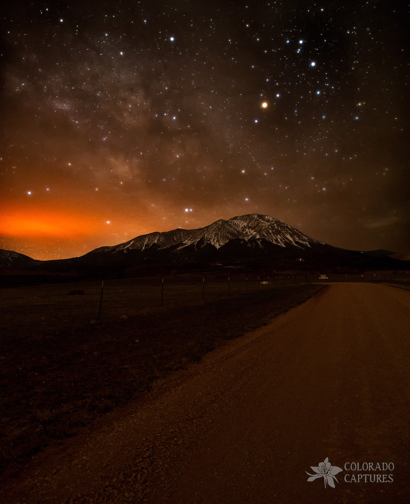
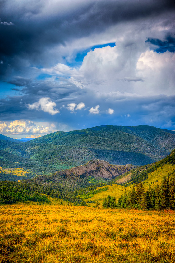
Spanish Peaks Road To A Cloud Veiled Milky Way

Colorado Gold_02

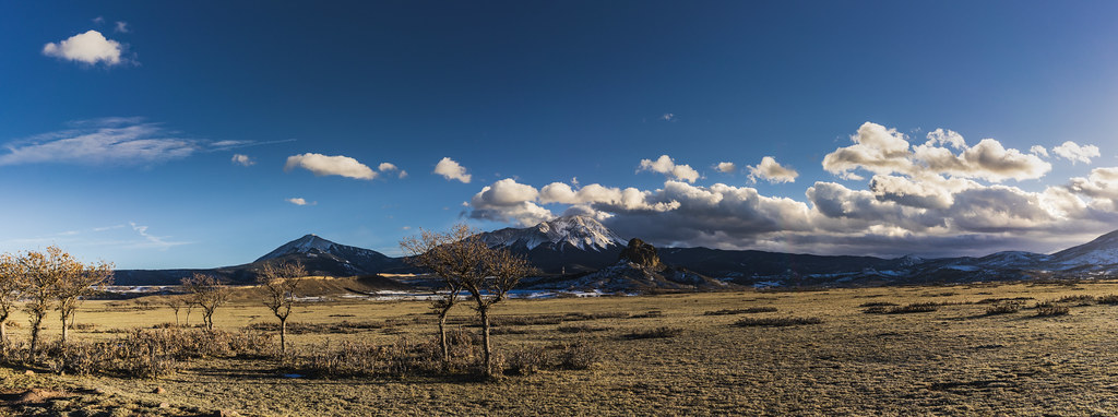
Western view at sunrise
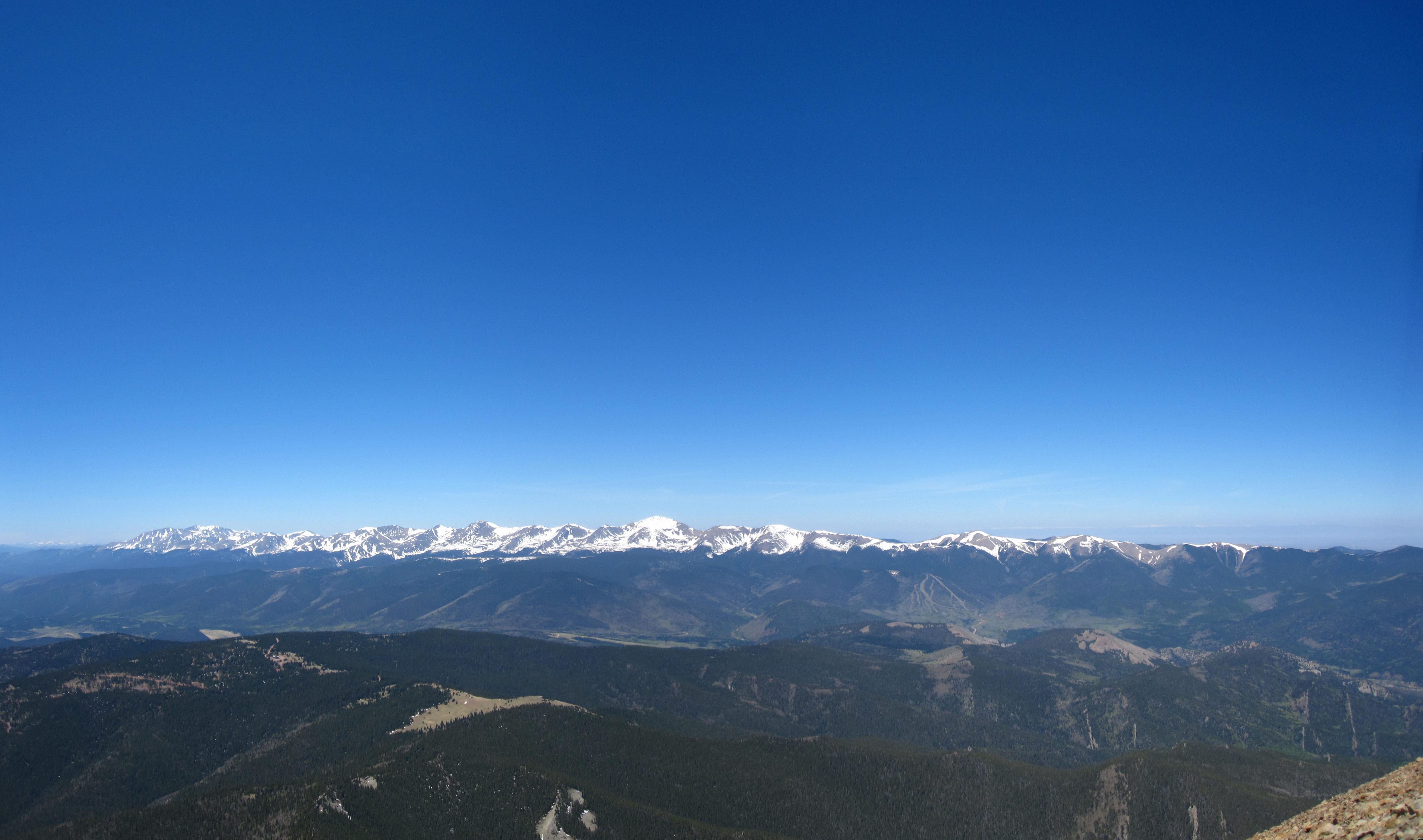
Sangre de Cristo Mountains
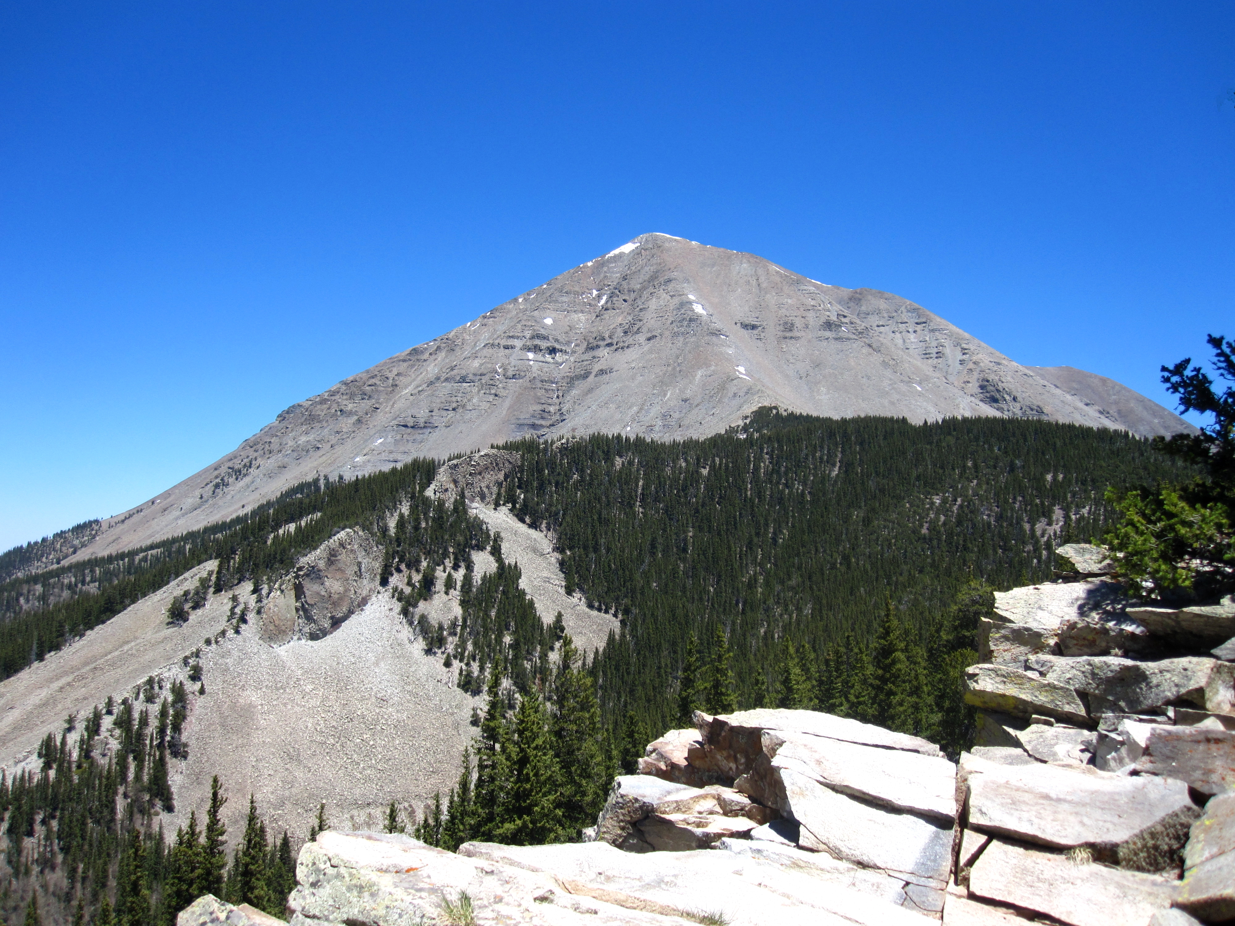
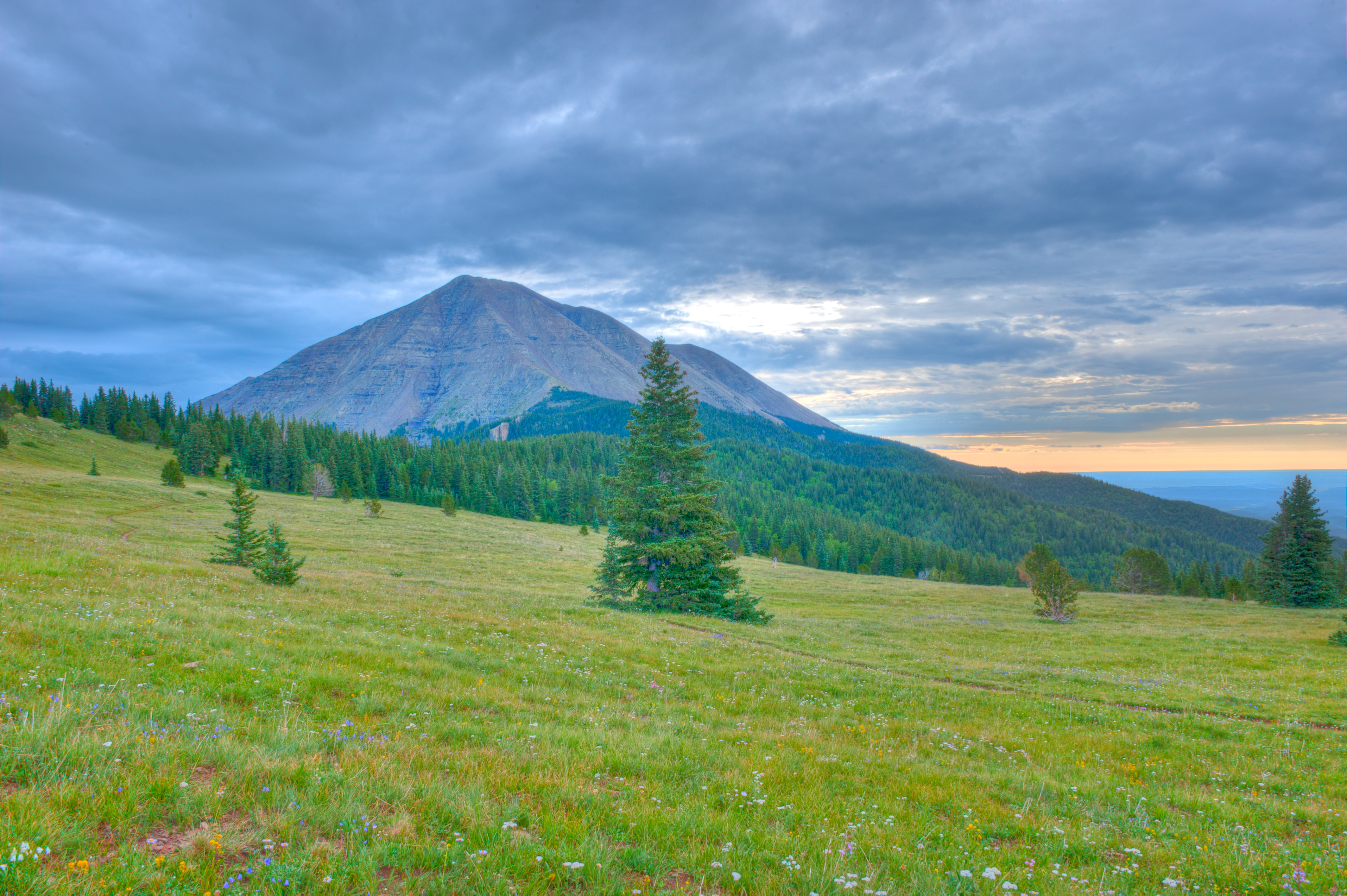
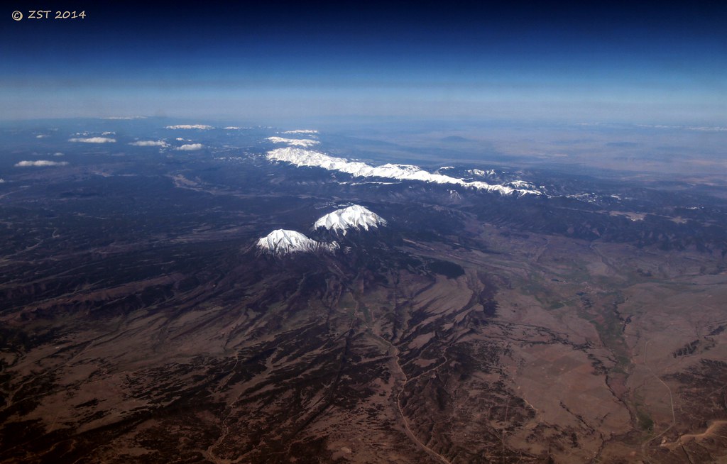
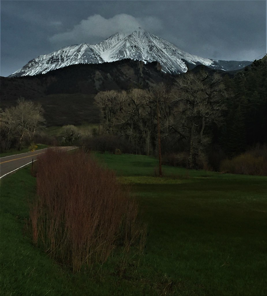
West Spanish Peak

Awesome view

Mostly Cloudy

View to South

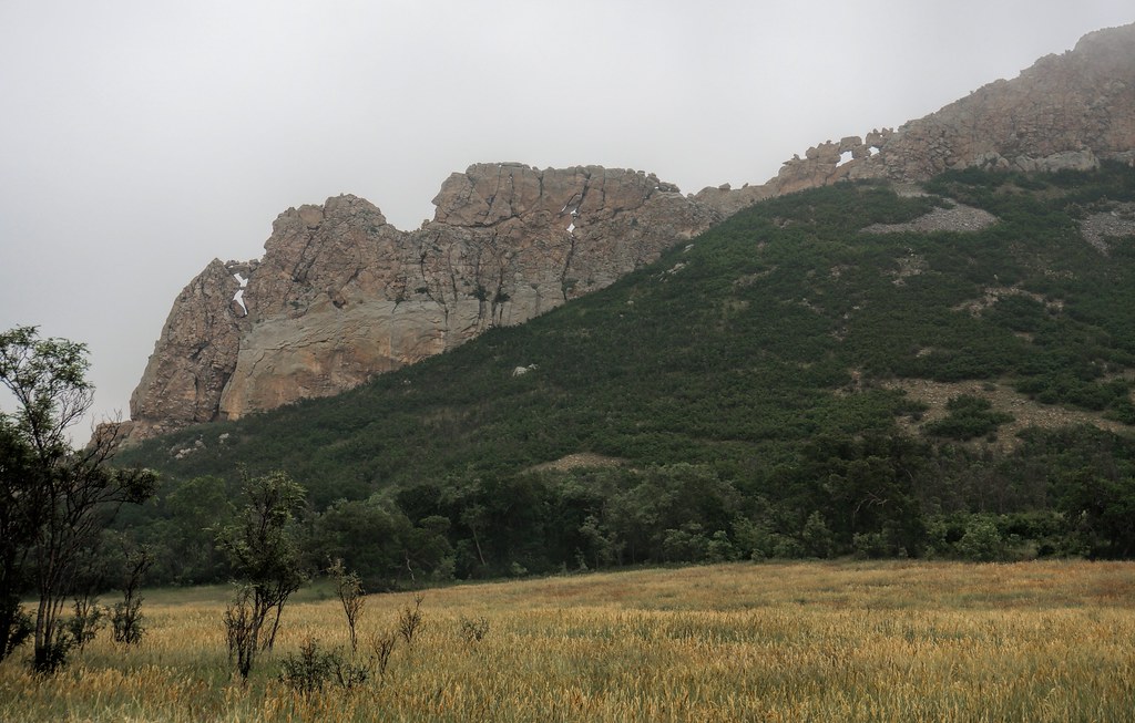
Main Cliff View
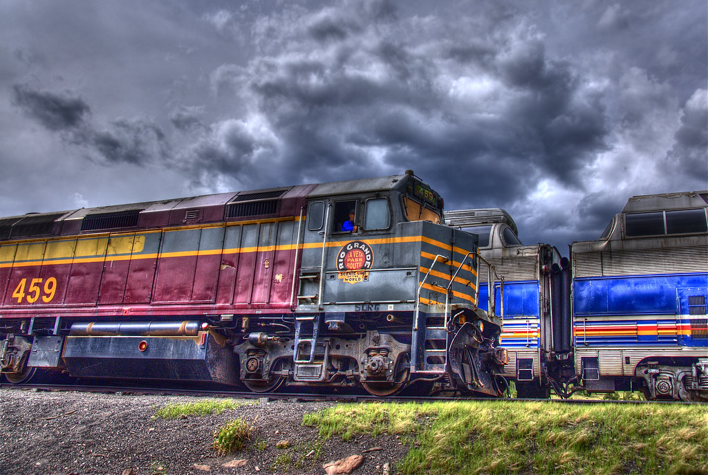
Rio Grande Scenic Railroad
Cuchara Pass
Spanish Peaks and Gomer Butte
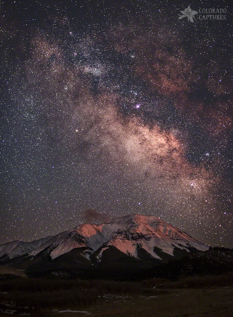
Lunar Alpenglow And Milky Way Skies At West Spanish Peak
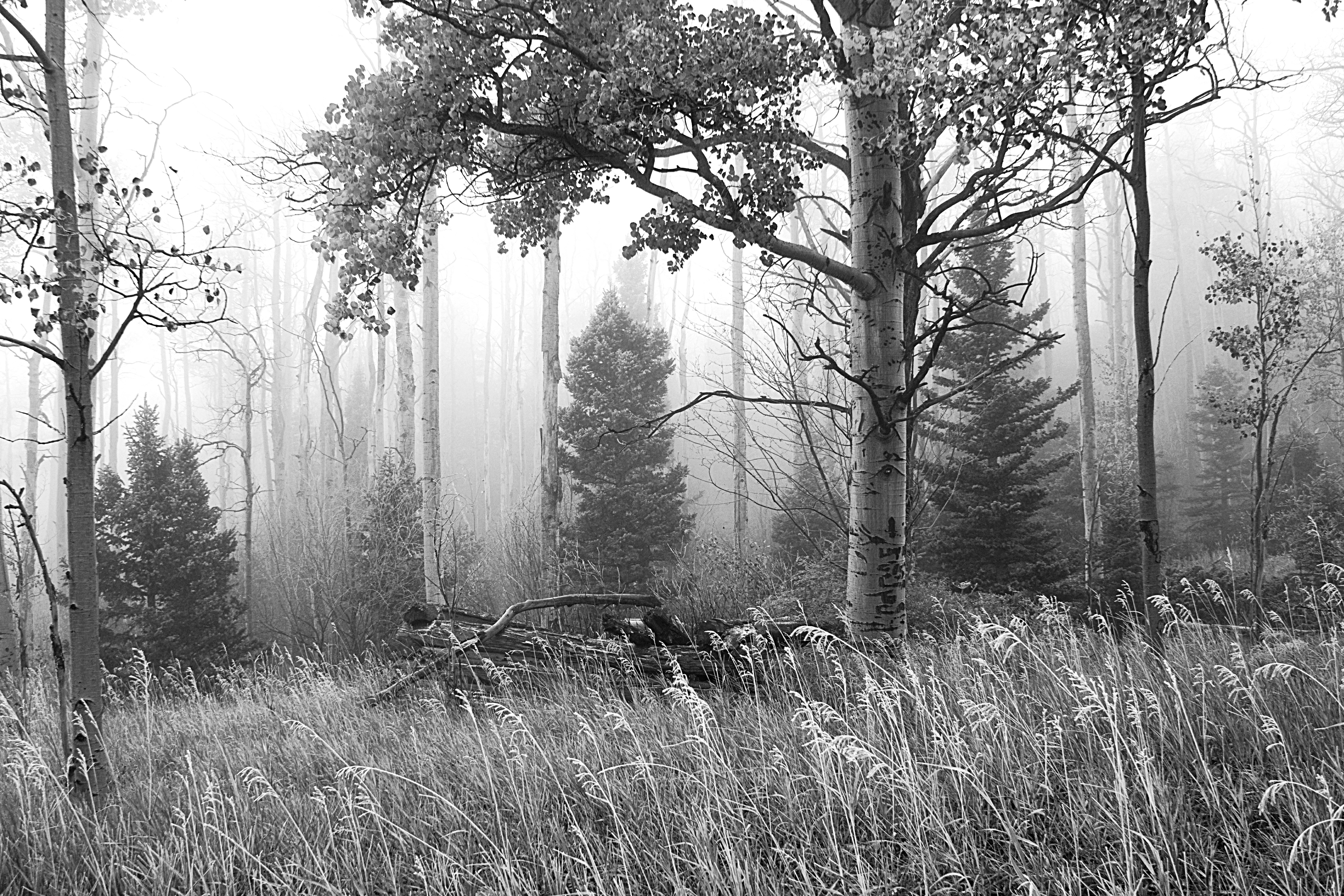
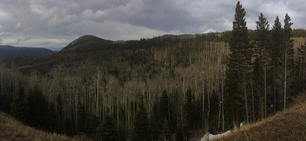
Ghost Forest
West Peak at Dawn
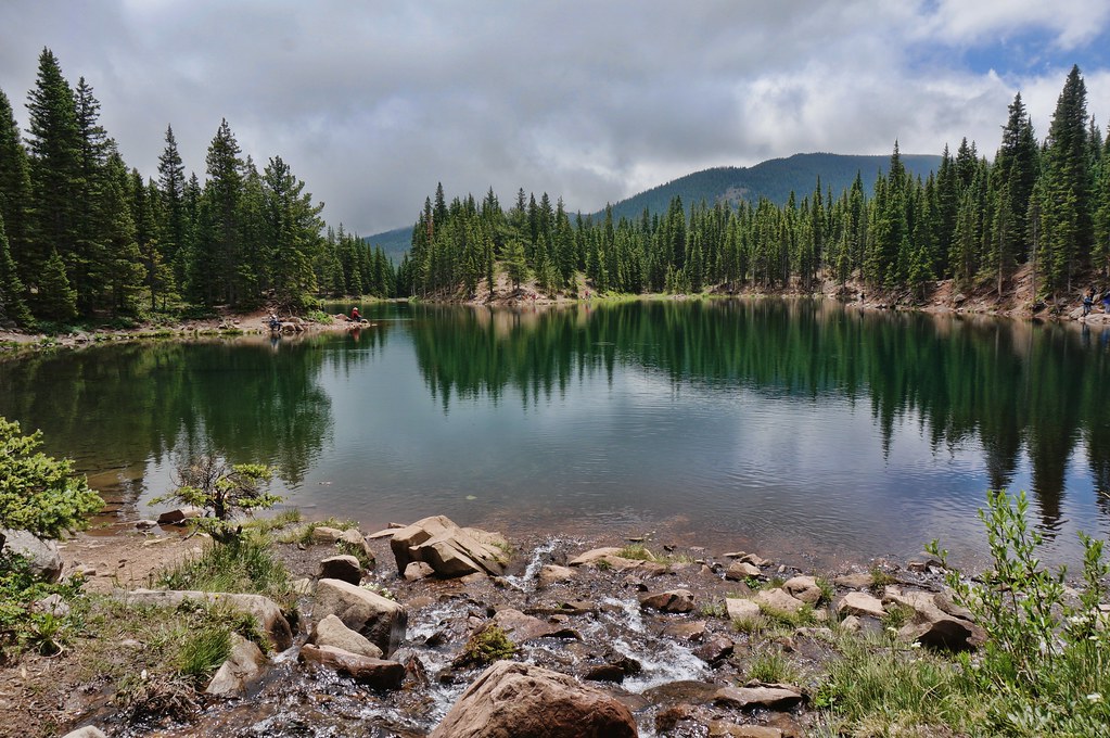
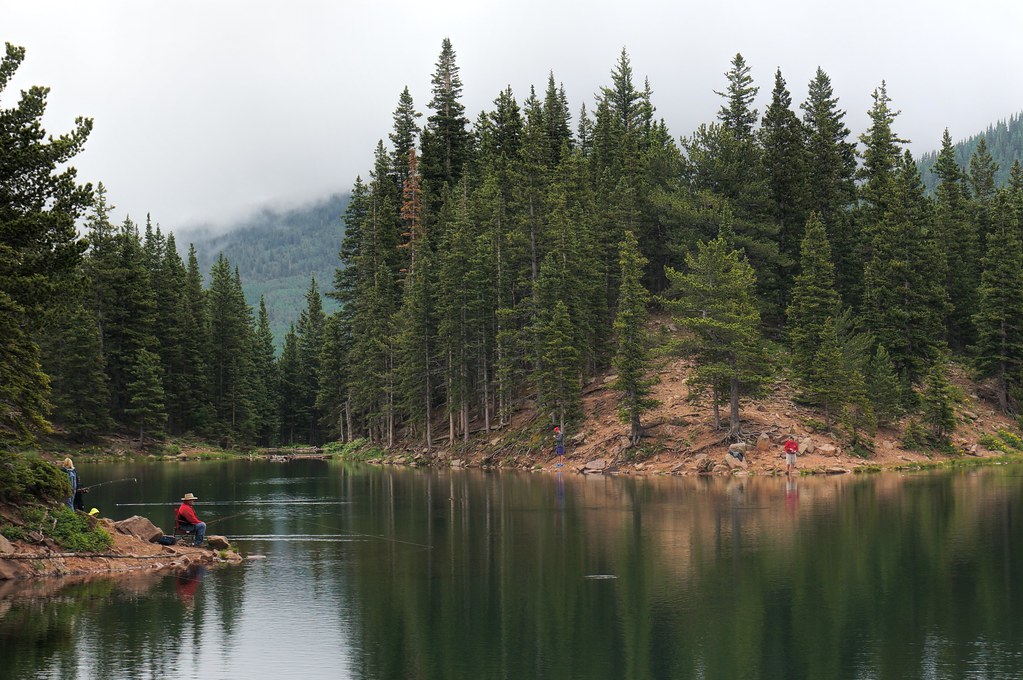
Bear Lake
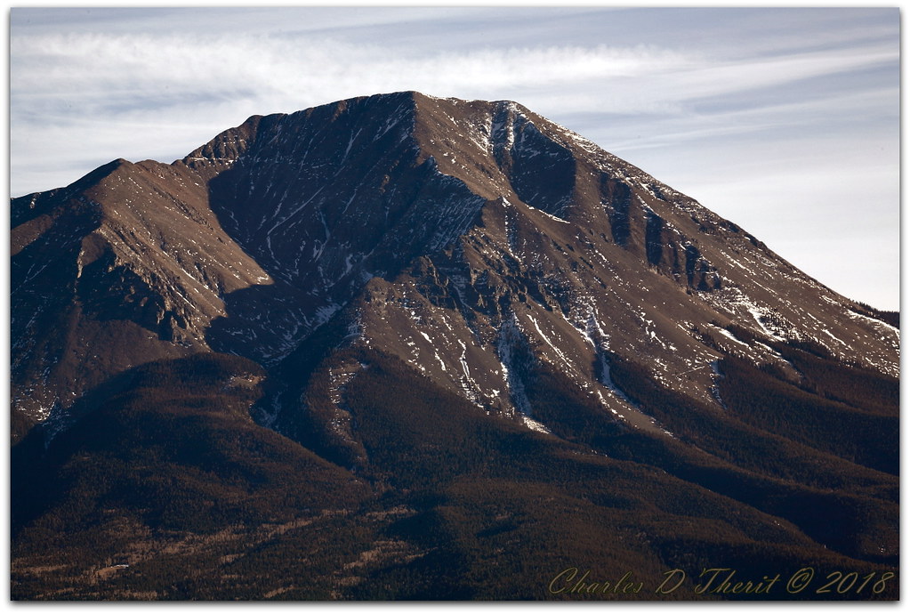
West Spanish Peak
one fish, two fish,

Spanish Peaks

Bear Lake Campground

Goemmer Butte
The CUCHARAS
Spanish Peaks, CO
The Rockies
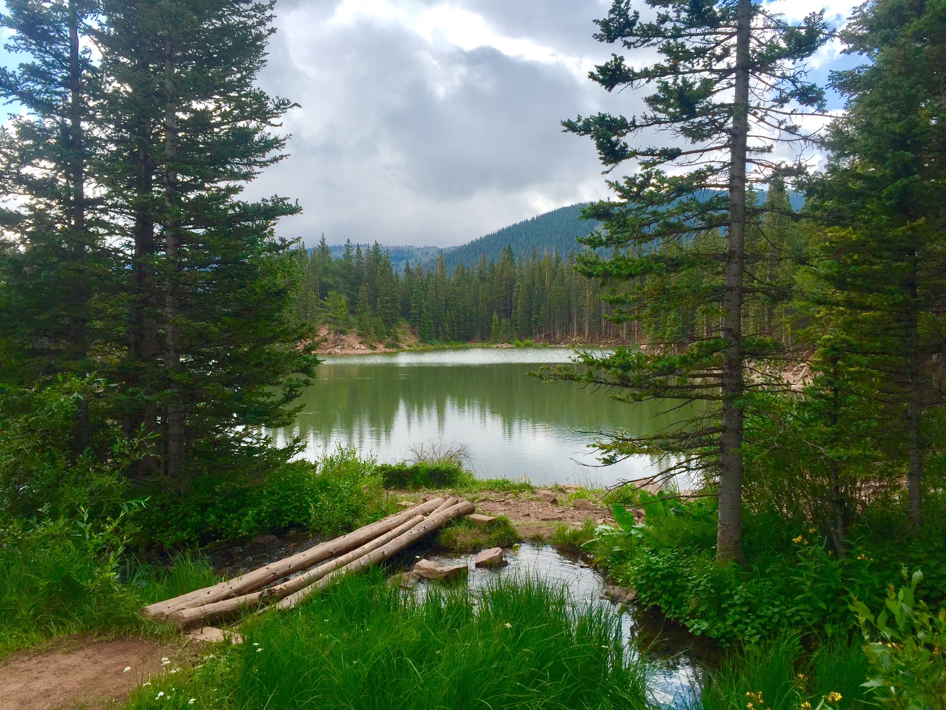
Bear Lake
Portrait of a Hogback
Devils Stairsteps
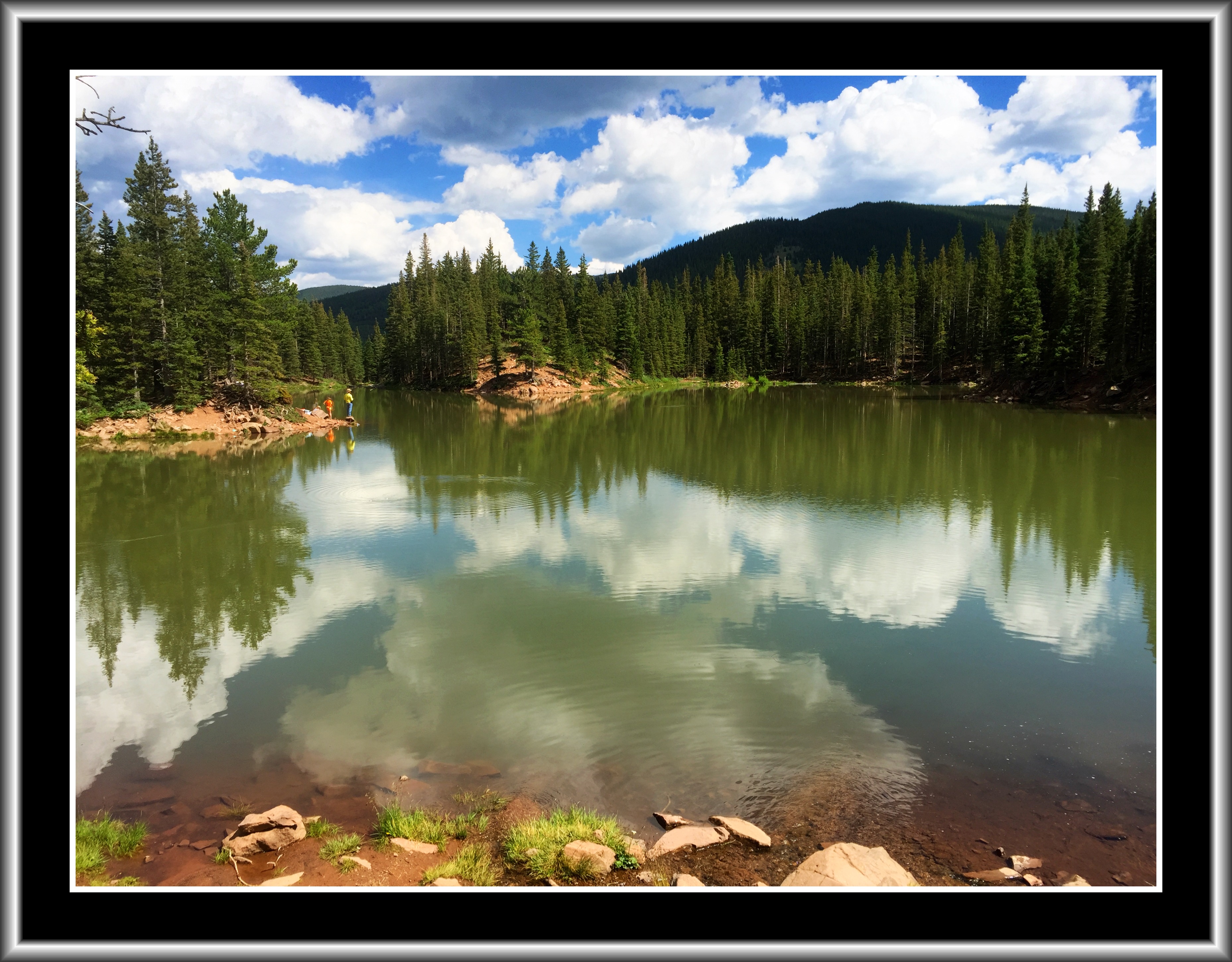
Bear Lake Campground
Spanish Peaks
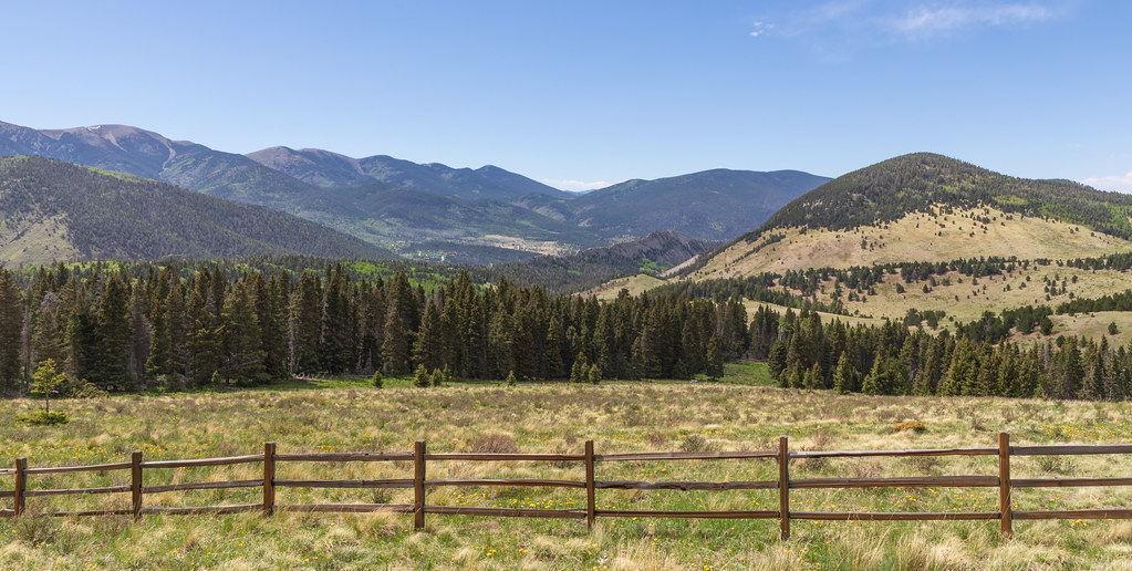
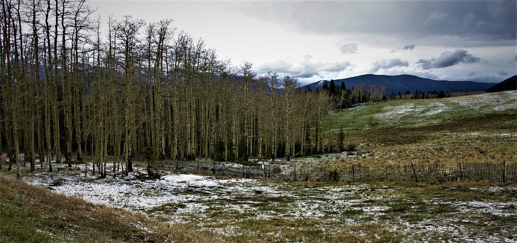
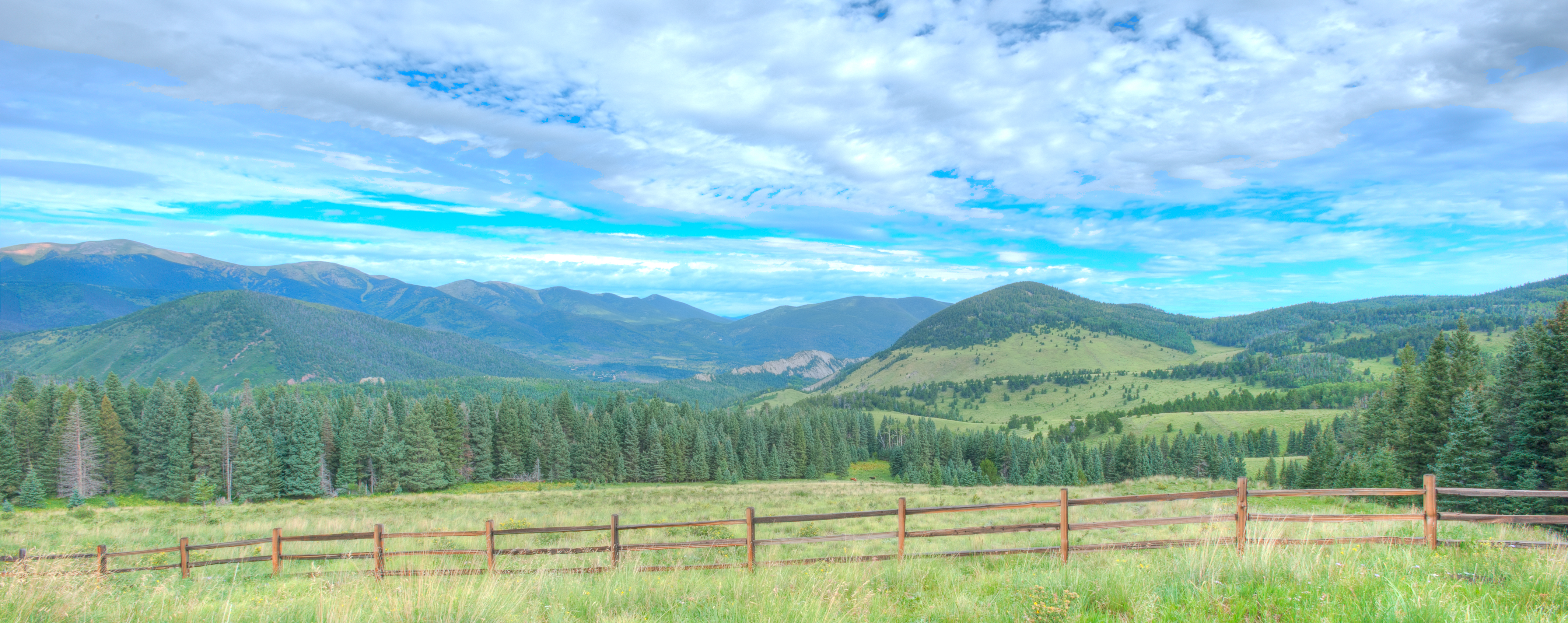
Happy Fence Friday
Topographic Map of Panadero Loop, La Veta, CO, USA
Find elevation by address:

Places near Panadero Loop, La Veta, CO, USA:
540 Panadero Loop
81 Cedar Ridge Rd
391 Ponderosa Rd
74 N Meadow Rd
12 Panadero Vista
12 Panadero Vista
17021 Co-12
Boyd Mountain
200 S Lake Rd
110 N Lake Rd
55 Ruby Ln
River Lane
110 S Lake Rd
Cuchara
45 Elm Ridge Rd
45 Elm Ridge Rd
90 Cuchara Ave
South White Peak
North White Peak
4170 Co-12
Recent Searches:
- Elevation of Corso Fratelli Cairoli, 35, Macerata MC, Italy
- Elevation of Tallevast Rd, Sarasota, FL, USA
- Elevation of 4th St E, Sonoma, CA, USA
- Elevation of Black Hollow Rd, Pennsdale, PA, USA
- Elevation of Oakland Ave, Williamsport, PA, USA
- Elevation of Pedrógão Grande, Portugal
- Elevation of Klee Dr, Martinsburg, WV, USA
- Elevation of Via Roma, Pieranica CR, Italy
- Elevation of Tavkvetili Mountain, Georgia
- Elevation of Hartfords Bluff Cir, Mt Pleasant, SC, USA