Elevation of North White Peak, Colorado, USA
Location: United States > Colorado > La Veta >
Longitude: -105.07944
Latitude: 37.3761243
Elevation: 3088m / 10131feet
Barometric Pressure: 69KPa
Elevation Map:
Satellite Map:
Related Photos:

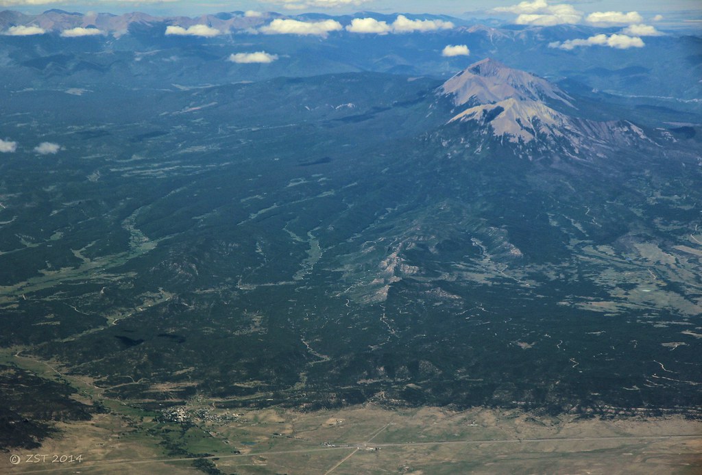
Awesome view

Western view at sunrise
Aguilar & Spanish Peaks

Colorado Gold_02
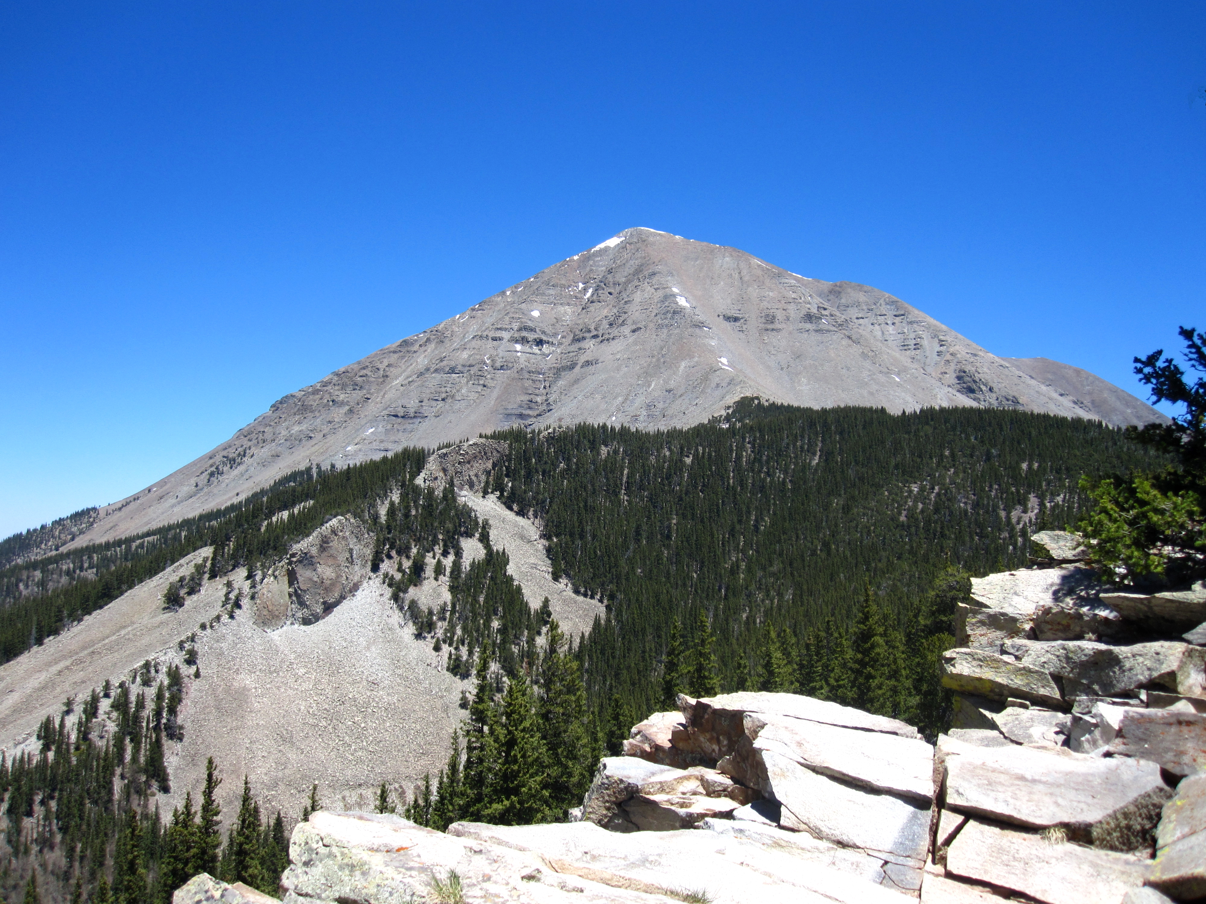
West Spanish Peak
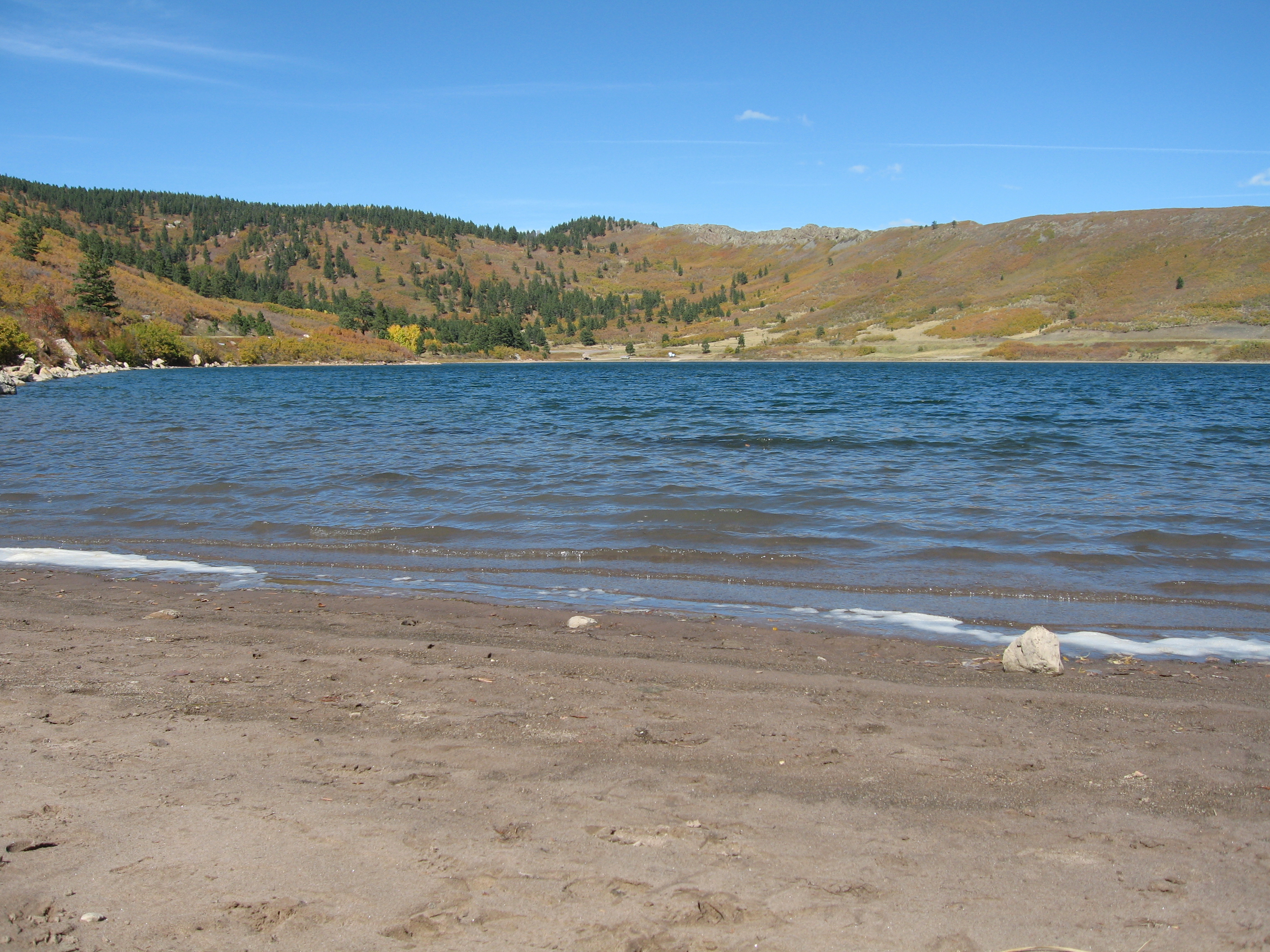
Yet another lake view
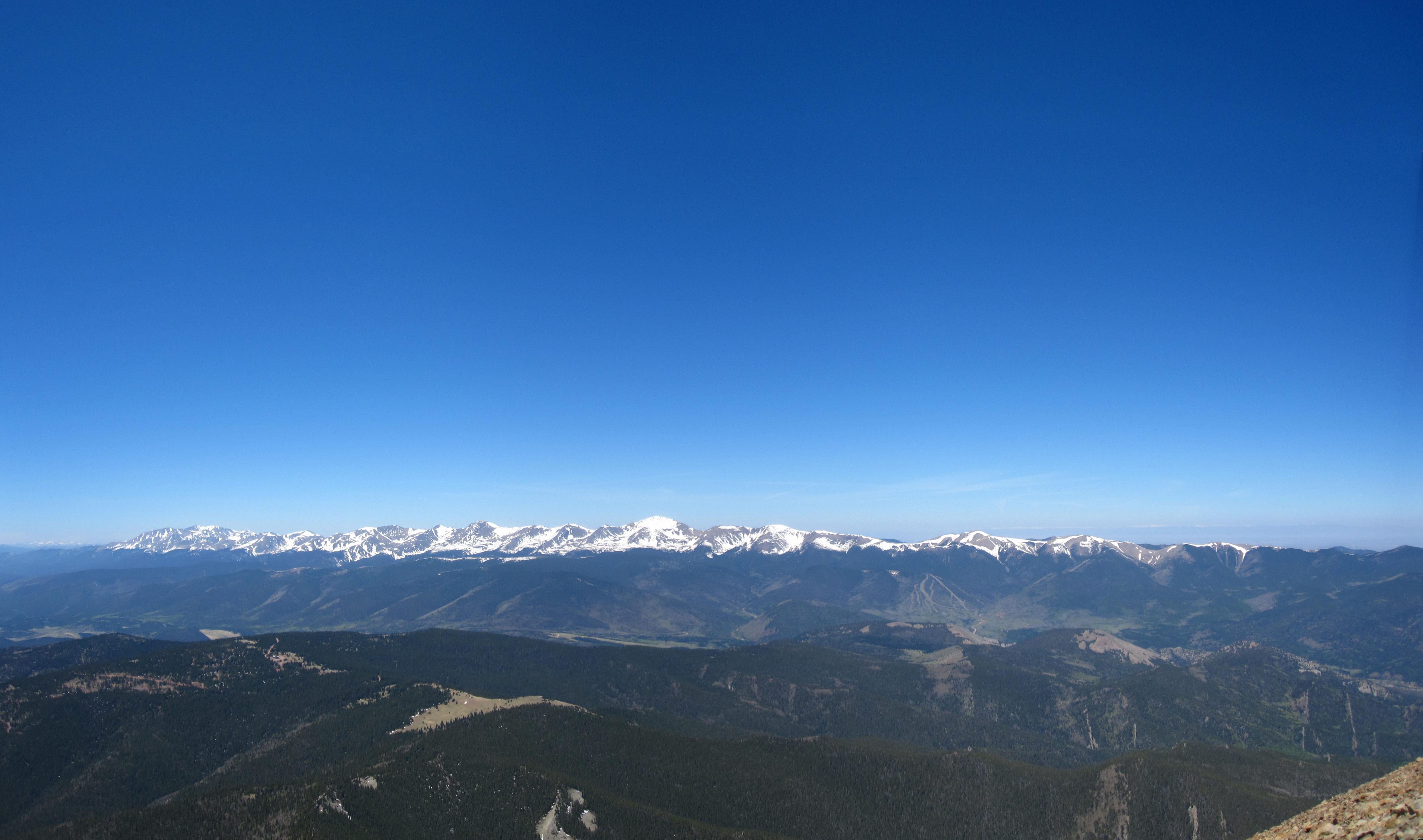
Sangre de Cristo Mountains
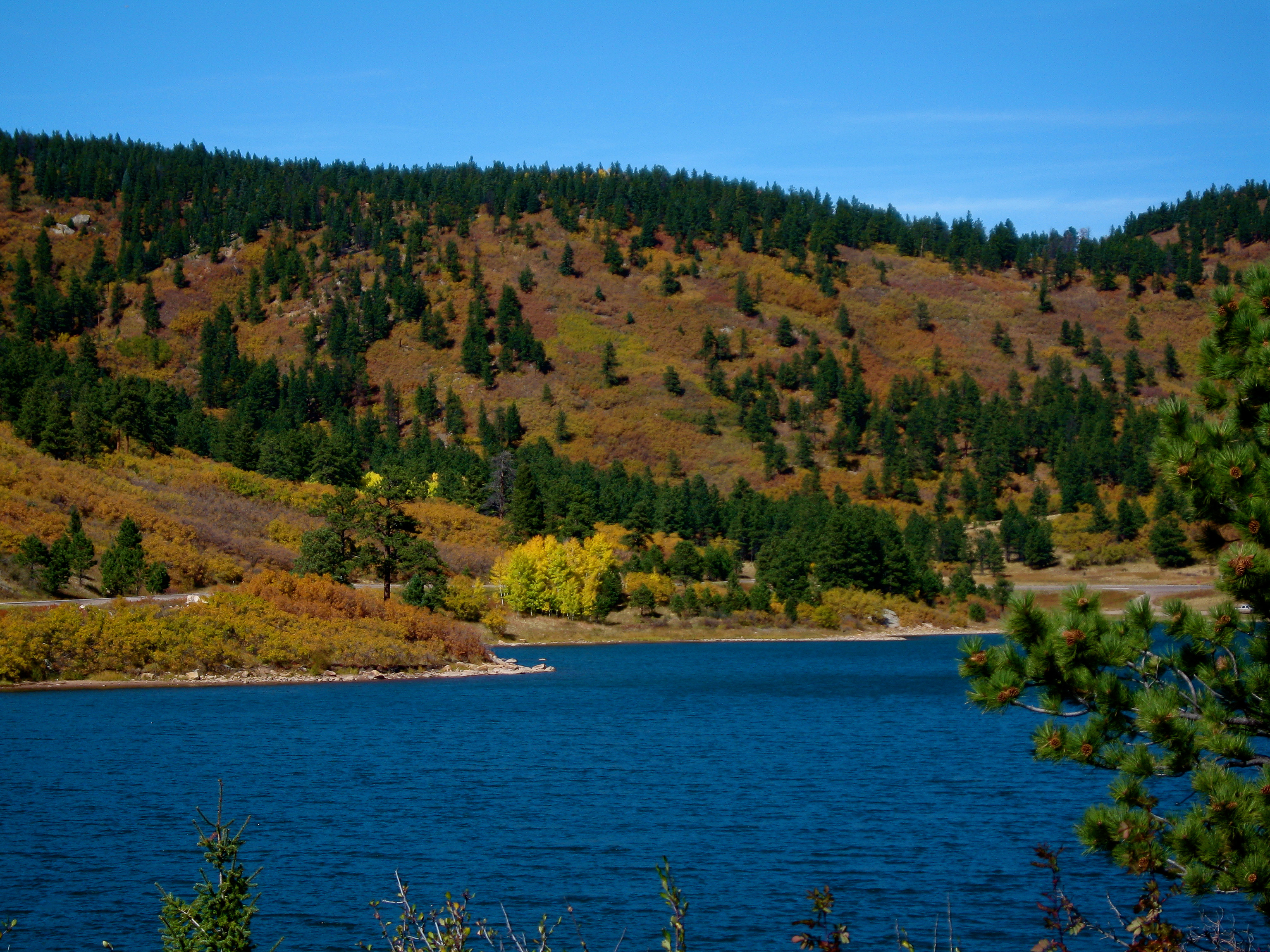
Another lake view

Deer in the backyard
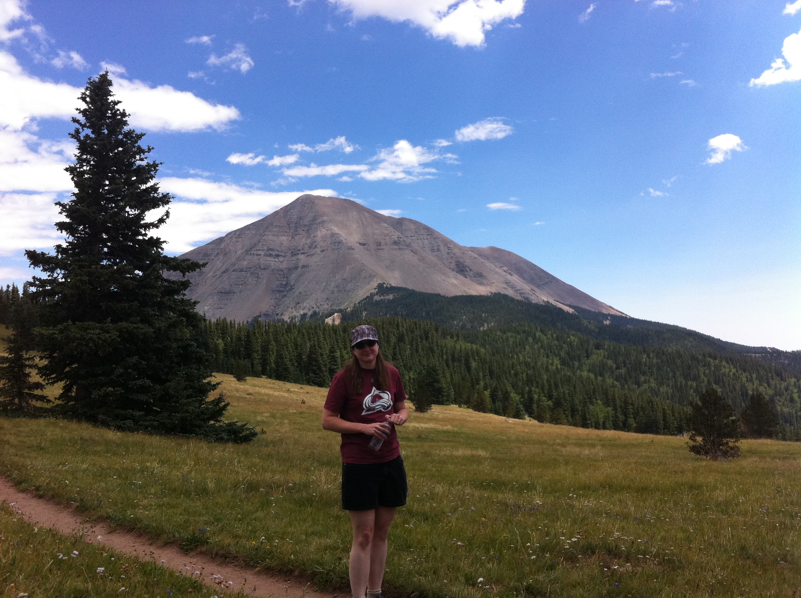
Nice View

Cliff Mist
Topographic Map of North White Peak, Colorado, USA
Find elevation by address:

Places near North White Peak, Colorado, USA:
90 Cuchara Ave
Cuchara
45 Elm Ridge Rd
45 Elm Ridge Rd
River Lane
17021 Co-12
South White Peak
12 Panadero Vista
12 Panadero Vista
391 Ponderosa Rd
74 N Meadow Rd
200 S Lake Rd
110 N Lake Rd
81 Cedar Ridge Rd
55 Ruby Ln
540 Panadero Loop
540 Panadero Loop
110 S Lake Rd
Boyd Mountain
4170 Co-12
Recent Searches:
- Elevation of Corso Fratelli Cairoli, 35, Macerata MC, Italy
- Elevation of Tallevast Rd, Sarasota, FL, USA
- Elevation of 4th St E, Sonoma, CA, USA
- Elevation of Black Hollow Rd, Pennsdale, PA, USA
- Elevation of Oakland Ave, Williamsport, PA, USA
- Elevation of Pedrógão Grande, Portugal
- Elevation of Klee Dr, Martinsburg, WV, USA
- Elevation of Via Roma, Pieranica CR, Italy
- Elevation of Tavkvetili Mountain, Georgia
- Elevation of Hartfords Bluff Cir, Mt Pleasant, SC, USA