Elevation of Sotik, Kenya
Location: Kenya > Kericho County >
Longitude: 35.1110613
Latitude: -0.6906735
Elevation: 1808m / 5932feet
Barometric Pressure: 0KPa
Related Photos:
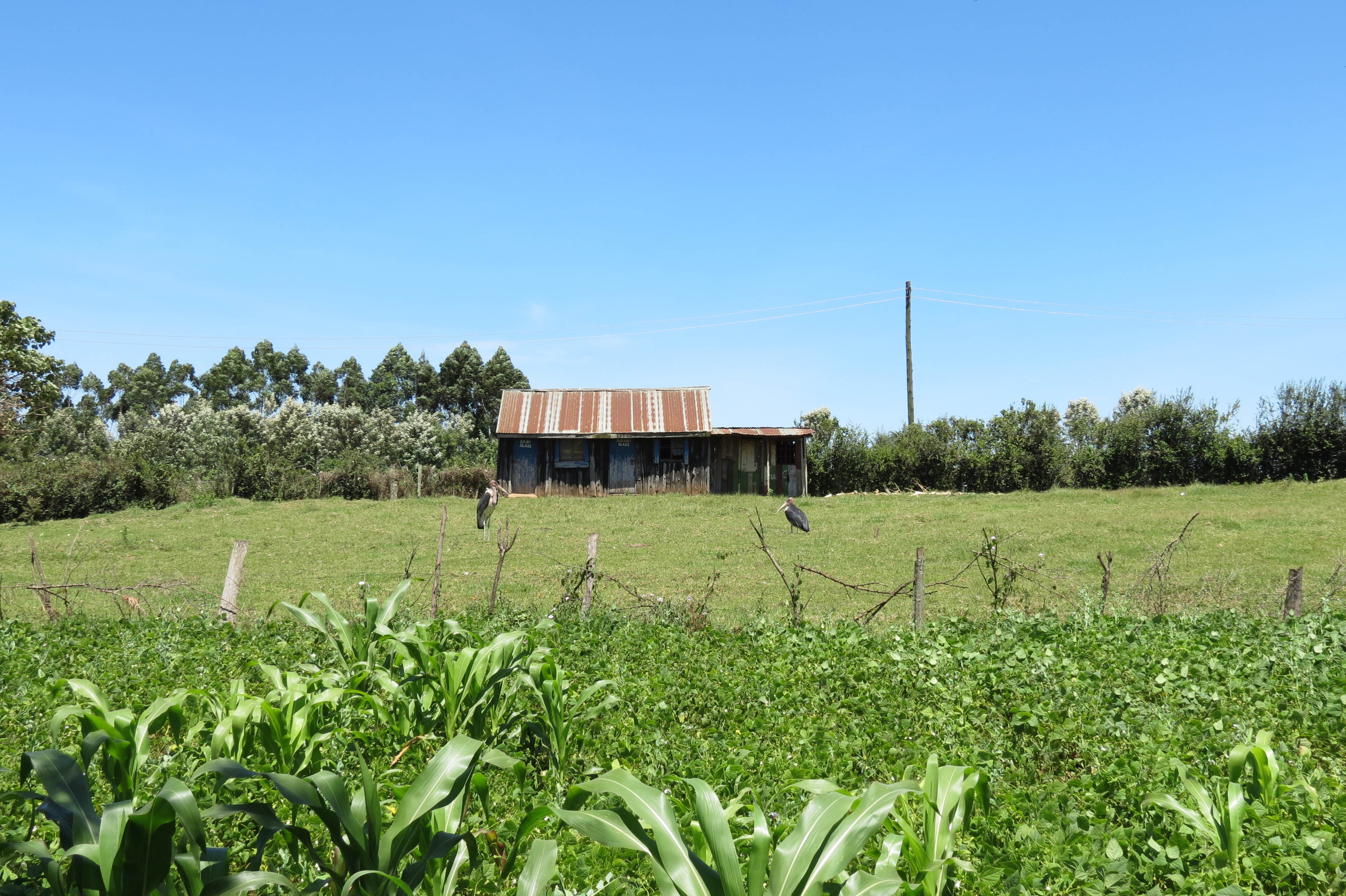
Road to Kisii

Black Kite in flight

Lovely wheather. Blessed Sunday pals.

~God~ {Is} _Good_

IMG_0991.jpg
IMG_0990.jpg

IMG_0909.jpg

IMG_0904.jpg

IMG_0898.jpg

IMG_0897.jpg

IMG_0894.jpg

IMG_0889.jpg

IMG_0886.jpg
Got some ass on you @mexturesapp #mexturesapp #sotik #kenya #igkenya @igkenya #africa #animals

Bureti at Dusk

Road to Kisii
Topographic Map of Sotik, Kenya
Find elevation by address:

Places near Sotik, Kenya:
Cheplanget
Cheplanget Primary School
Nyamira County
Keroka
Enchoro Sda Church
Kisii
Kisii County
Mikai
Kilgoris
Co-op Kwa Jirani Dawamu Enterprises
Alex Walker's Serian 'the Original'
Rongo
Sanctuary Olonana Kenya
Ahero
Andbeyond Bateleur Camp
Andbeyond Kichwa Tembo Tented Camp
Little Governors Camp
Lolgorian Dam
Kileleoni Mara Camp
Miwani
Recent Searches:
- Elevation map of Litang County, Sichuan, China
- Elevation map of Madoi County, Qinghai, China
- Elevation of 3314, Ohio State Route 114, Payne, Paulding County, Ohio, 45880, USA
- Elevation of Sarahills Drive, Saratoga, Santa Clara County, California, 95070, USA
- Elevation of Town of Bombay, Franklin County, New York, USA
- Elevation of 9, Convent Lane, Center Moriches, Suffolk County, New York, 11934, USA
- Elevation of Saint Angelas Convent, 9, Convent Lane, Center Moriches, Suffolk County, New York, 11934, USA
- Elevation of 131st Street Southwest, Mukilteo, Snohomish County, Washington, 98275, USA
- Elevation of 304, Harrison Road, Naples, Cumberland County, Maine, 04055, USA
- Elevation of 2362, Timber Ridge Road, Harrisburg, Cabarrus County, North Carolina, 28075, USA
- Elevation of Ridge Road, Marshalltown, Marshall County, Iowa, 50158, USA
- Elevation of 2459, Misty Shadows Drive, Pigeon Forge, Sevier County, Tennessee, 37862, USA
- Elevation of 8043, Brightwater Way, Spring Hill, Williamson County, Tennessee, 37179, USA
- Elevation of Starkweather Road, San Luis, Costilla County, Colorado, 81152, USA
- Elevation of 5277, Woodside Drive, Baton Rouge, East Baton Rouge Parish, Louisiana, 70808, USA
- Elevation of 1139, Curtin Street, Shepherd Park Plaza, Houston, Harris County, Texas, 77018, USA
- Elevation of 136, Sellers Lane, Repton, Monroe County, Alabama, 36475, USA
- Elevation of 12914, Elmington Drive, Lakewood Forest, Houston, Harris County, Texas, 77429, USA
- Elevation of 417, Camelot Drive, Statesville, Iredell County, North Carolina, 28625, USA
- Elevation of 5792, Wildridge Road, Avon, Eagle County, Colorado, 81620, USA