Elevation of Keroka, Kenya
Location: Kenya > Kisii County >
Longitude: 34.9458389
Latitude: -0.7771138
Elevation: 2063m / 6768feet
Barometric Pressure: 0KPa
Related Photos:
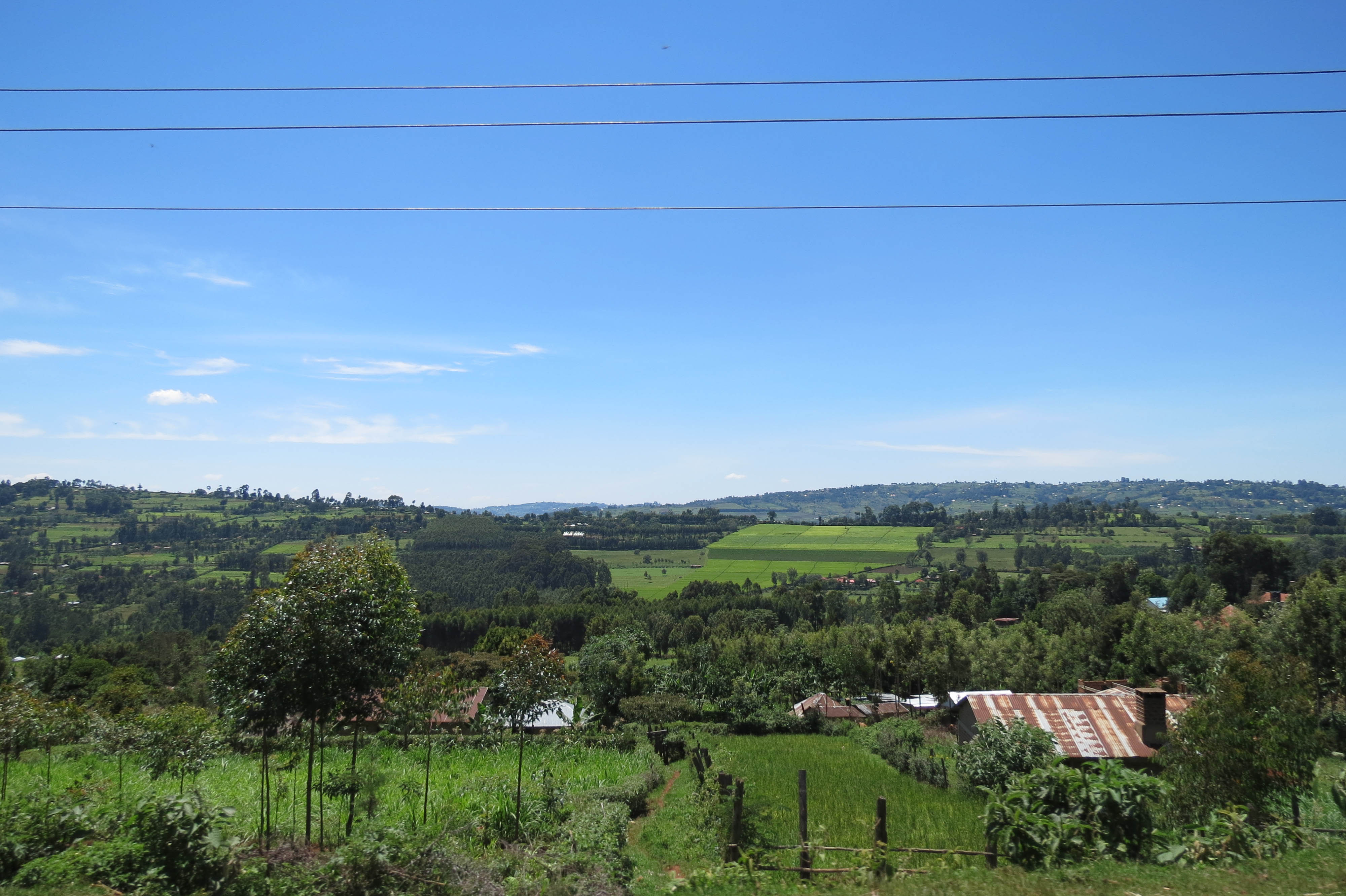
Road to Kisii

Lovely wheather. Blessed Sunday pals.

#CountyThings

♡

#True

~God~ {Is} _Good_

Road to Kisii

Road to Kisii

Road to Kisii
Topographic Map of Keroka, Kenya
Find elevation by address:

Places near Keroka, Kenya:
Enchoro Sda Church
Nyamira County
Sotik
Kisii
Kisii County
Cheplanget Primary School
Cheplanget
Kilgoris
Co-op Kwa Jirani Dawamu Enterprises
Mikai
Rongo
Alex Walker's Serian 'the Original'
Sanctuary Olonana Kenya
Andbeyond Bateleur Camp
Andbeyond Kichwa Tembo Tented Camp
St. Joseph's School, Rapogi
Lolgorian Dam
Little Governors Camp
Kileleoni Mara Camp
Katieno I
Recent Searches:
- Elevation map of Litang County, Sichuan, China
- Elevation map of Madoi County, Qinghai, China
- Elevation of 3314, Ohio State Route 114, Payne, Paulding County, Ohio, 45880, USA
- Elevation of Sarahills Drive, Saratoga, Santa Clara County, California, 95070, USA
- Elevation of Town of Bombay, Franklin County, New York, USA
- Elevation of 9, Convent Lane, Center Moriches, Suffolk County, New York, 11934, USA
- Elevation of Saint Angelas Convent, 9, Convent Lane, Center Moriches, Suffolk County, New York, 11934, USA
- Elevation of 131st Street Southwest, Mukilteo, Snohomish County, Washington, 98275, USA
- Elevation of 304, Harrison Road, Naples, Cumberland County, Maine, 04055, USA
- Elevation of 2362, Timber Ridge Road, Harrisburg, Cabarrus County, North Carolina, 28075, USA
- Elevation of Ridge Road, Marshalltown, Marshall County, Iowa, 50158, USA
- Elevation of 2459, Misty Shadows Drive, Pigeon Forge, Sevier County, Tennessee, 37862, USA
- Elevation of 8043, Brightwater Way, Spring Hill, Williamson County, Tennessee, 37179, USA
- Elevation of Starkweather Road, San Luis, Costilla County, Colorado, 81152, USA
- Elevation of 5277, Woodside Drive, Baton Rouge, East Baton Rouge Parish, Louisiana, 70808, USA
- Elevation of 1139, Curtin Street, Shepherd Park Plaza, Houston, Harris County, Texas, 77018, USA
- Elevation of 136, Sellers Lane, Repton, Monroe County, Alabama, 36475, USA
- Elevation of 12914, Elmington Drive, Lakewood Forest, Houston, Harris County, Texas, 77429, USA
- Elevation of 417, Camelot Drive, Statesville, Iredell County, North Carolina, 28625, USA
- Elevation of 5792, Wildridge Road, Avon, Eagle County, Colorado, 81620, USA