Elevation map of Kericho County, Kenya
Location: Kenya >
Longitude: 35.4781926
Latitude: -0.1827913
Elevation: 2055m / 6742feet
Barometric Pressure: 79KPa
Elevation Map:
Satellite Map:
Related Photos:
CO 1069-185-400

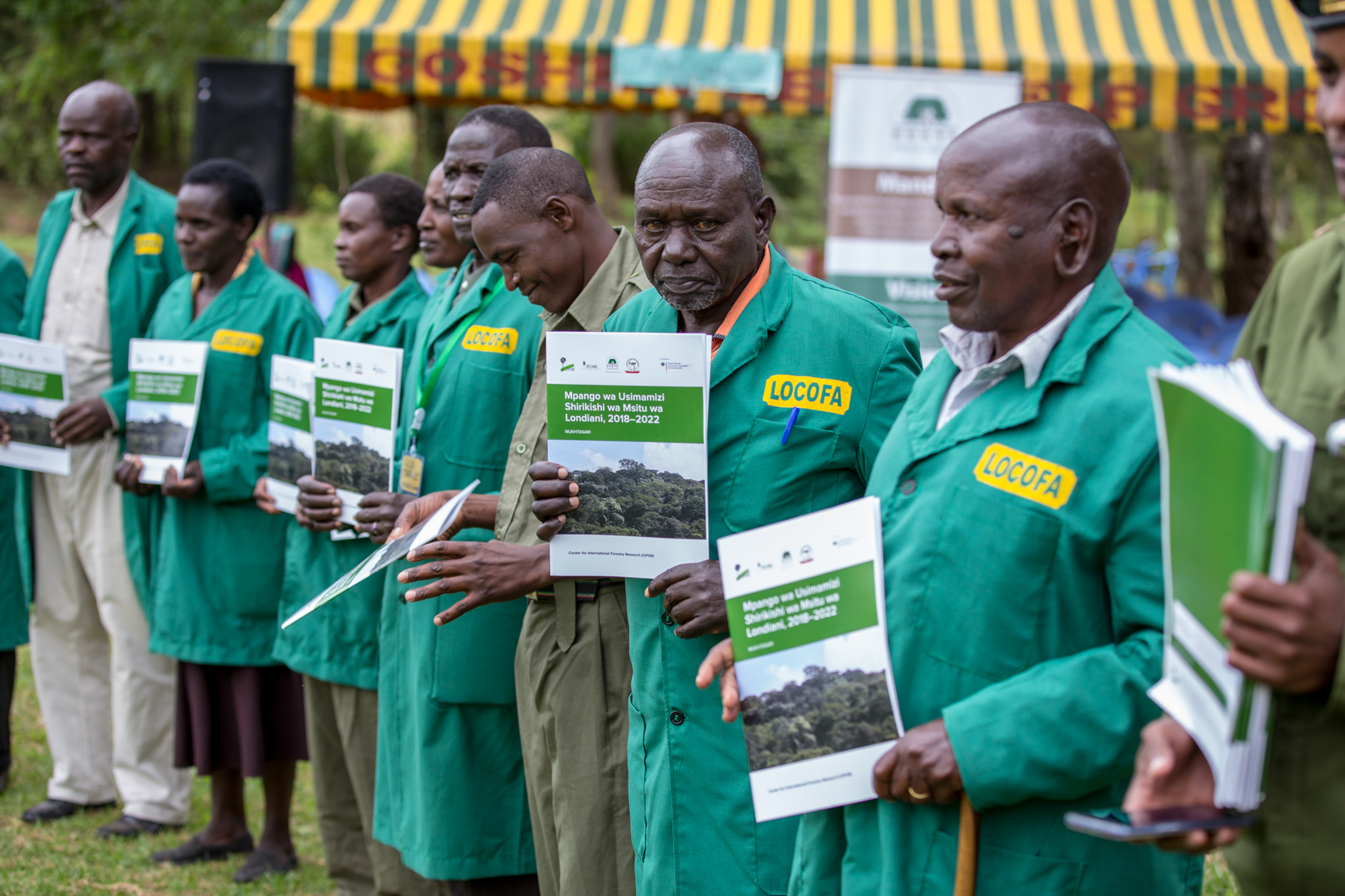
Londiani PFMP Launch

Londiani PFMP Launch
Londiani PFMP Launch

Londiani PFMP Launch

Londiani PFMP Launch

Londiani PFMP Launch

Londiani PFMP Launch

Londiani PFMP Launch

Londiani PFMP Launch

Londiani PFMP Launch

Londiani PFMP Launch

Londiani PFMP Launch

Londiani PFMP Launch

Londiani PFMP Launch

Londiani PFMP Launch

Londiani PFMP Launch

Londiani PFMP Launch

Londiani PFMP Launch

Londiani PFMP Launch

Londiani PFMP Launch

Londiani PFMP Launch
Topographic Map of Kericho County, Kenya
Find elevation by address:

Places in Kericho County, Kenya:
Places near Kericho County, Kenya:
Tinderet
Koru
Molo
Kericho
Mount Londiani Forest
Kapsoit Ilhub Petrol Station
Kapsoit
St Andrew's School, Turi
Borborwet
Borborwet Secondary School
Kipkoiyan
Kapnandet Primary School
Chebara Primary School
Chebara
Rongai
Kugerwet
Aic Komirmir
Viwanda
Nakuru
Nakuru-kisumu Road
Recent Searches:
- Elevation of Corso Fratelli Cairoli, 35, Macerata MC, Italy
- Elevation of Tallevast Rd, Sarasota, FL, USA
- Elevation of 4th St E, Sonoma, CA, USA
- Elevation of Black Hollow Rd, Pennsdale, PA, USA
- Elevation of Oakland Ave, Williamsport, PA, USA
- Elevation of Pedrógão Grande, Portugal
- Elevation of Klee Dr, Martinsburg, WV, USA
- Elevation of Via Roma, Pieranica CR, Italy
- Elevation of Tavkvetili Mountain, Georgia
- Elevation of Hartfords Bluff Cir, Mt Pleasant, SC, USA