Elevation of Molo, Kenya
Location: Kenya > Nakuru >
Longitude: 35.7323709
Latitude: -0.2488358
Elevation: 2451m / 8041feet
Barometric Pressure: 75KPa
Elevation Map:
Satellite Map:
Related Photos:
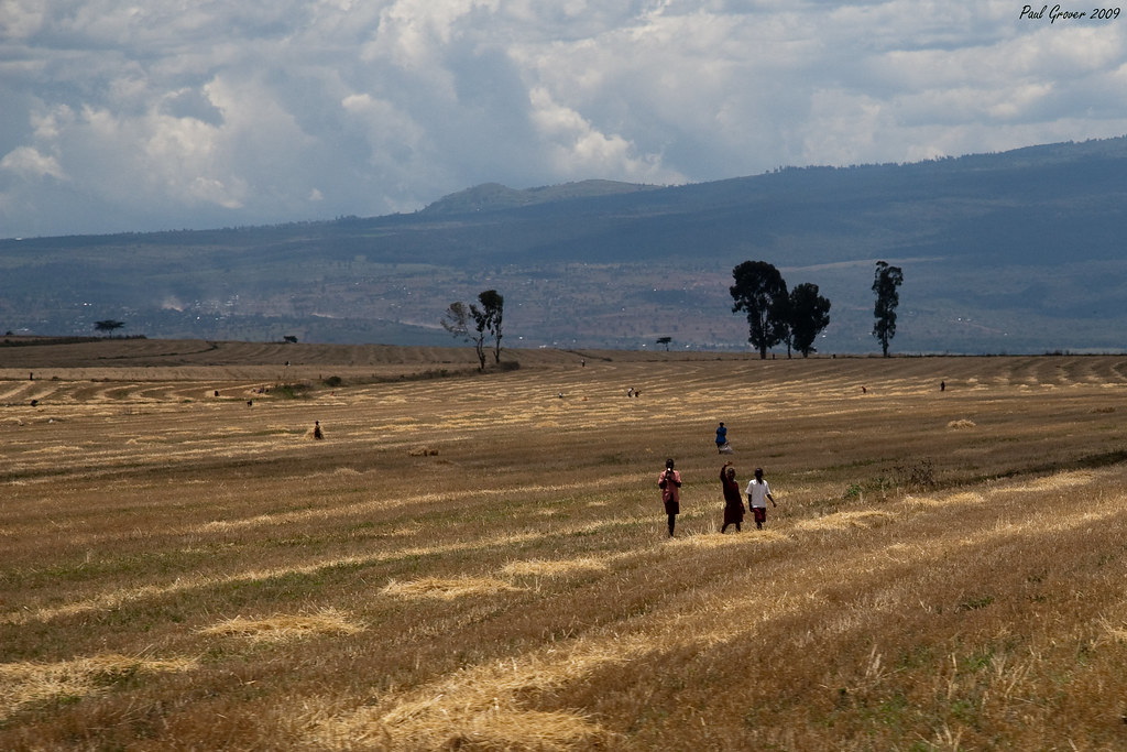
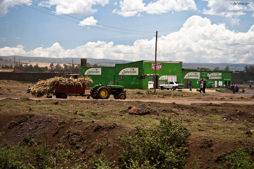
Fields

#at254 #molo #sunday

_MG_0576.jpg

Acacia elata A. Cunn. ex Benth. (FABACEAE)
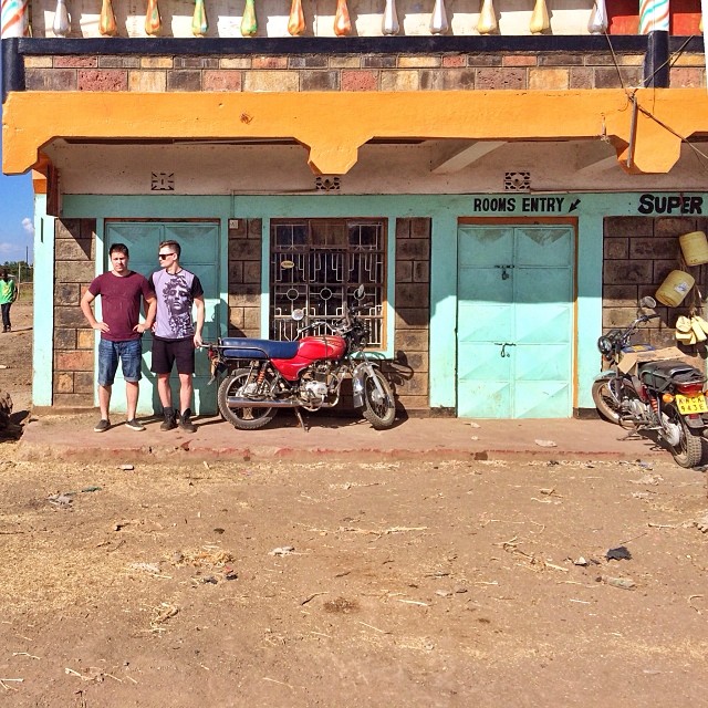
#африканскийтрип #продолжается #провинция #africa #kenya #братья #brothers #colors #цвет

_MG_0660.jpg

_MG_0605.jpg

_MG_0593.jpg

_MG_0586.jpg

_MG_0579.jpg

_MG_0539.jpg

_MG_0538.jpg
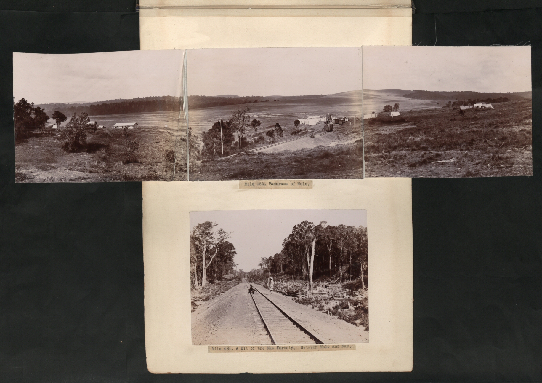
CO 1069-185-368
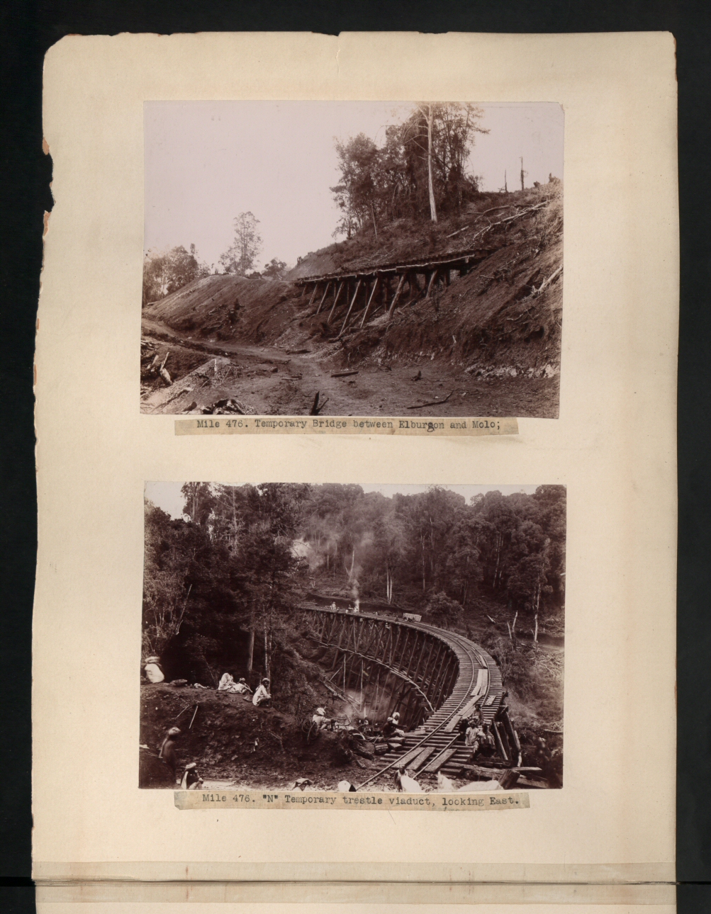
CO 1069-185-361
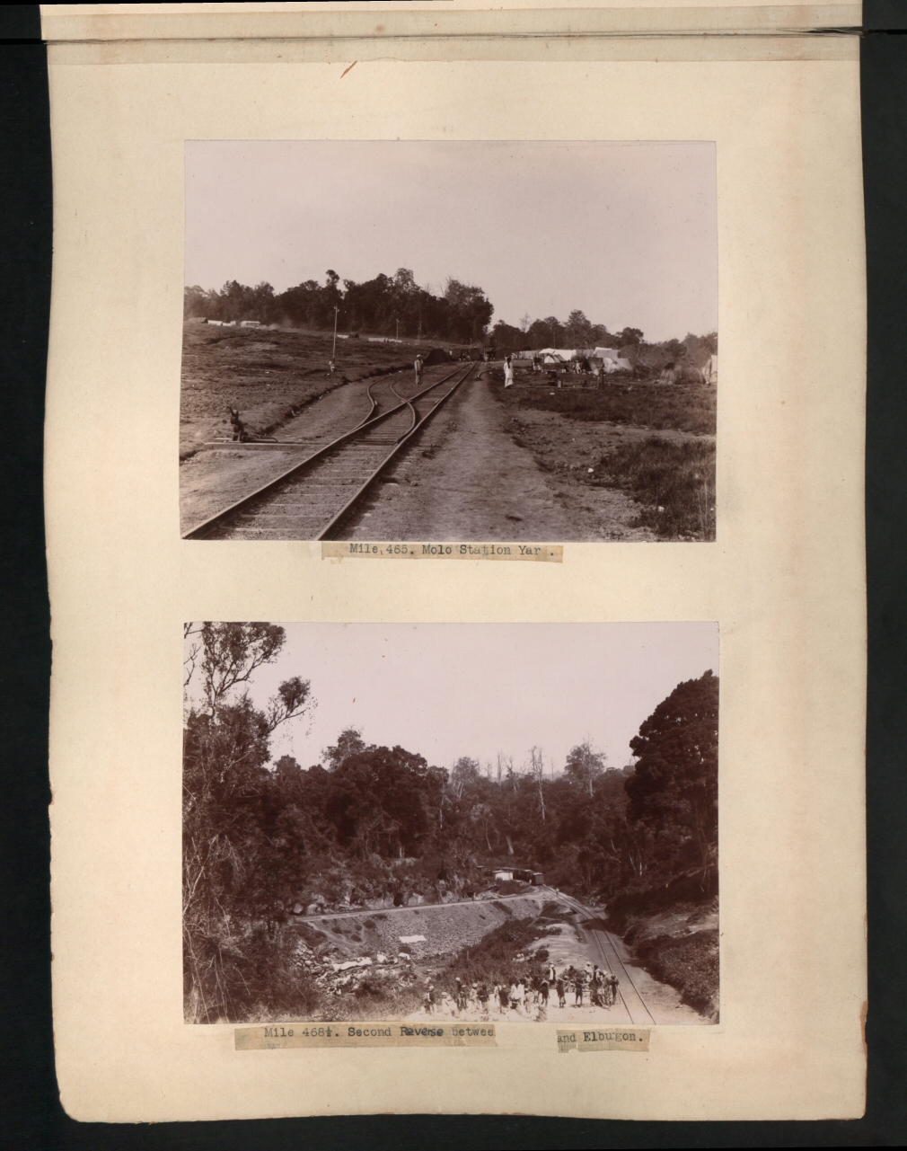
CO 1069-185-358
Finger Joint Bar
Topographic Map of Molo, Kenya
Find elevation by address:

Places near Molo, Kenya:
St Andrew's School, Turi
Mount Londiani Forest
Rongai
Chebara Primary School
Chebara
Kericho County
Viwanda
Nakuru-kisumu Road
Nakuru
Biashara
Afraha Stadium
Nakuru
Lake Nakuru
Baruti East
Sarova Lion Hill Game Lodge - Lake Nakuru National Park
Bahati
Kianjoya Primary School
Tinderet
Kericho
Koru
Recent Searches:
- Elevation of Corso Fratelli Cairoli, 35, Macerata MC, Italy
- Elevation of Tallevast Rd, Sarasota, FL, USA
- Elevation of 4th St E, Sonoma, CA, USA
- Elevation of Black Hollow Rd, Pennsdale, PA, USA
- Elevation of Oakland Ave, Williamsport, PA, USA
- Elevation of Pedrógão Grande, Portugal
- Elevation of Klee Dr, Martinsburg, WV, USA
- Elevation of Via Roma, Pieranica CR, Italy
- Elevation of Tavkvetili Mountain, Georgia
- Elevation of Hartfords Bluff Cir, Mt Pleasant, SC, USA