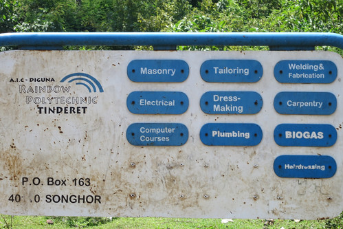
Elevation of Tinderet, Kenya
Location: Kenya > Nandi County >
Longitude: 35.3466253
Latitude: -0.0304408
Elevation: 2119m / 6952feet
Barometric Pressure: 0KPa
Related Photos:
Topographic Map of Tinderet, Kenya
Find elevation by address:

Places near Tinderet, Kenya:
Koru
Kericho County
Kapsoit Ilhub Petrol Station
Kapsoit
Borborwet
Borborwet Secondary School
Kericho
Kapnandet Primary School
Kipkoiyan
Mount Londiani Forest
Molo
St Andrew's School, Turi
Rongai
Chebara Primary School
Chebara
Kugerwet
Aic Komirmir
Kimolwet Dispensary
Migingo
Viwanda
Recent Searches:
- Elevation map of Greenland, Greenland
- Elevation of Sullivan Hill, New York, New York, 10002, USA
- Elevation of Morehead Road, Withrow Downs, Charlotte, Mecklenburg County, North Carolina, 28262, USA
- Elevation of 2800, Morehead Road, Withrow Downs, Charlotte, Mecklenburg County, North Carolina, 28262, USA
- Elevation of Yangbi Yi Autonomous County, Yunnan, China
- Elevation of Pingpo, Yangbi Yi Autonomous County, Yunnan, China
- Elevation of Mount Malong, Pingpo, Yangbi Yi Autonomous County, Yunnan, China
- Elevation map of Yongping County, Yunnan, China
- Elevation of North 8th Street, Palatka, Putnam County, Florida, 32177, USA
- Elevation of 107, Big Apple Road, East Palatka, Putnam County, Florida, 32131, USA
- Elevation of Jiezi, Chongzhou City, Sichuan, China
- Elevation of Chongzhou City, Sichuan, China
- Elevation of Huaiyuan, Chongzhou City, Sichuan, China
- Elevation of Qingxia, Chengdu, Sichuan, China
- Elevation of Corso Fratelli Cairoli, 35, Macerata MC, Italy
- Elevation of Tallevast Rd, Sarasota, FL, USA
- Elevation of 4th St E, Sonoma, CA, USA
- Elevation of Black Hollow Rd, Pennsdale, PA, USA
- Elevation of Oakland Ave, Williamsport, PA, USA
- Elevation of Pedrógão Grande, Portugal

