Elevation of Sonora Pass, California, USA
Location: United States > California > Mono County >
Longitude: -119.63683
Latitude: 38.327691
Elevation: 2928m / 9606feet
Barometric Pressure: 71KPa
Elevation Map:
Satellite Map:
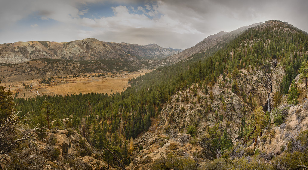
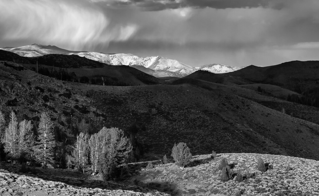
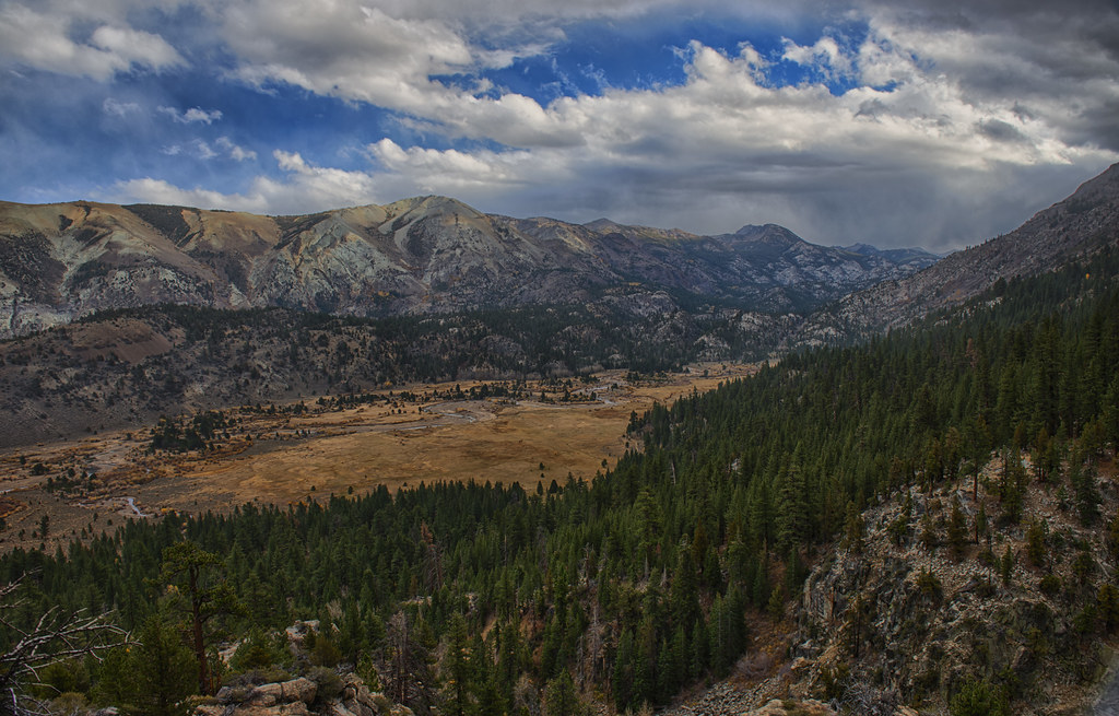
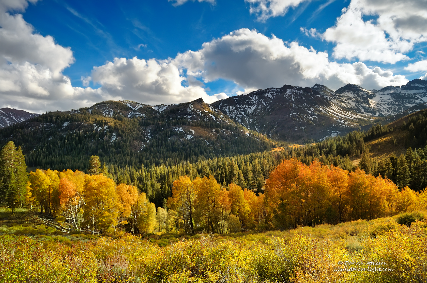
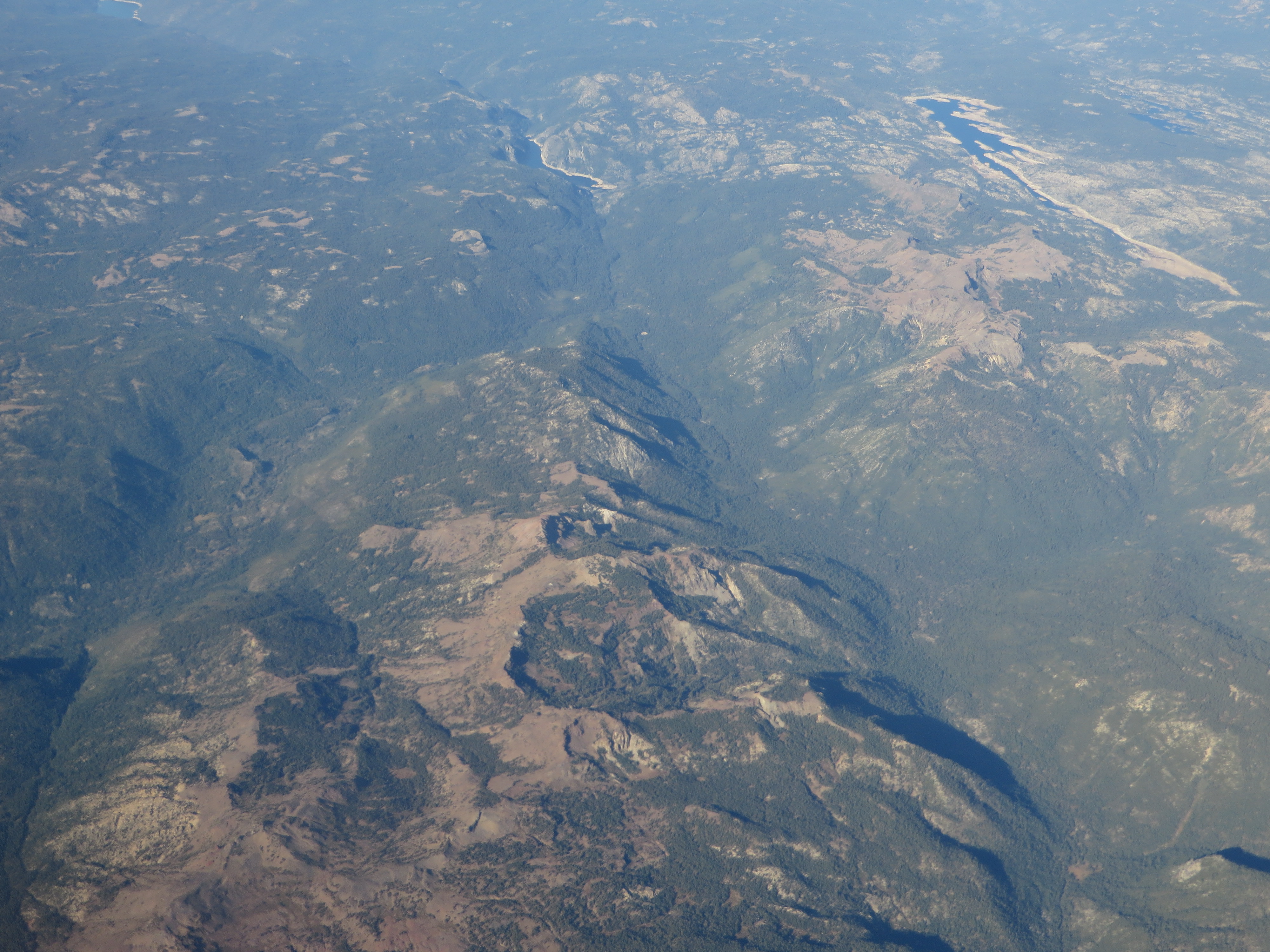
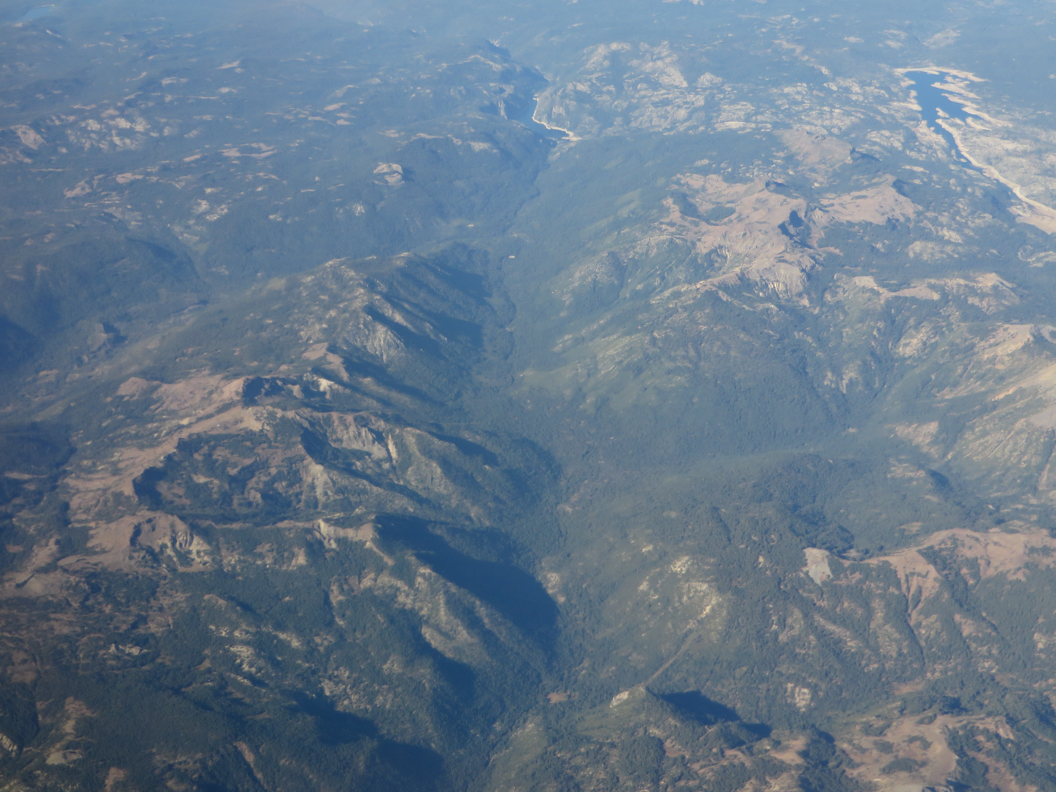
Related Photos:
In wilderness I sense the miracle of life, and behind it our scientific accomplishments fade to trivia…
Standing at the top of the world.

Where's the Squirrel?

The Stanislaus River by Fall
Nature, to be commanded, must be obeyed…
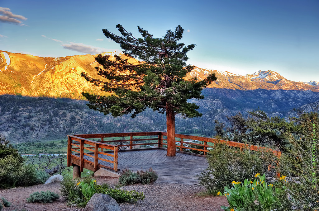
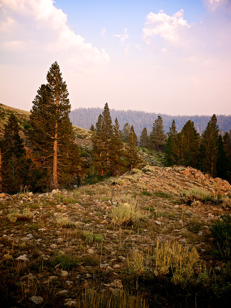
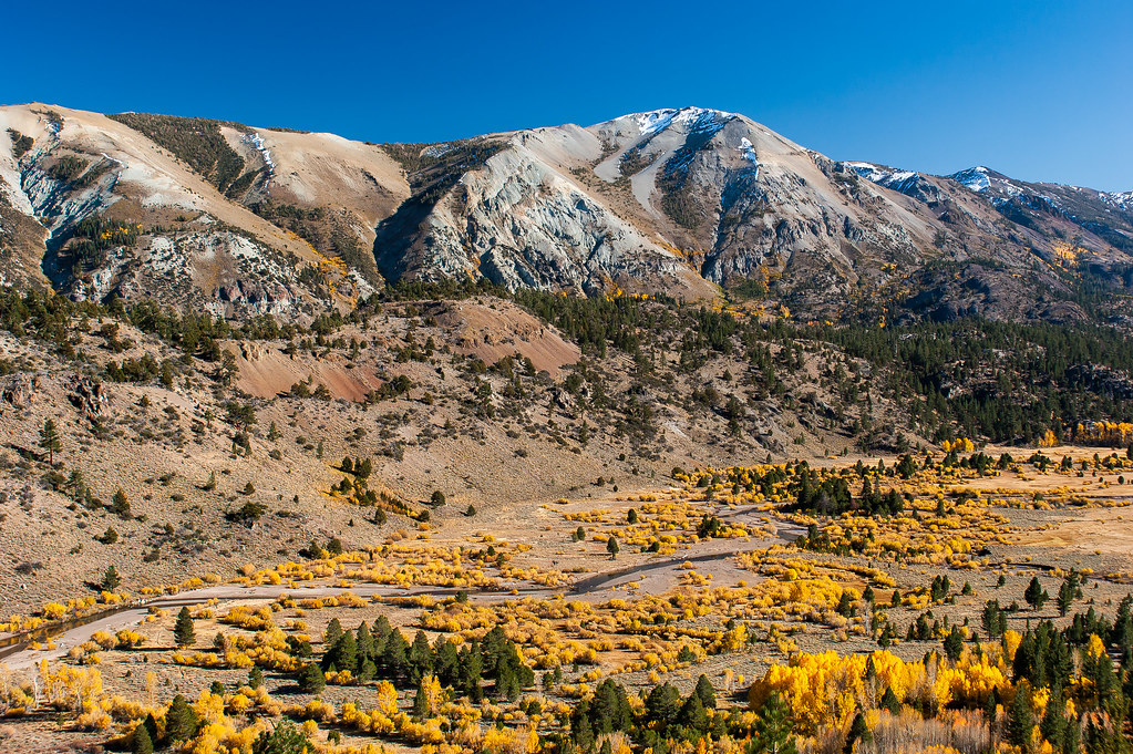
Light Dances on the Peaks of Sonora Pass
2007-10-20 043 a Eastern Sierra
Leavitt Falls Vista Point 2010_1
First view of Stanislaus from St. Mary's Pass
Leavitt Falls, Summer 2010

United States Marine Corps Mountain Warfare Training Center - h
Another View From My Campsite
The view from our camp
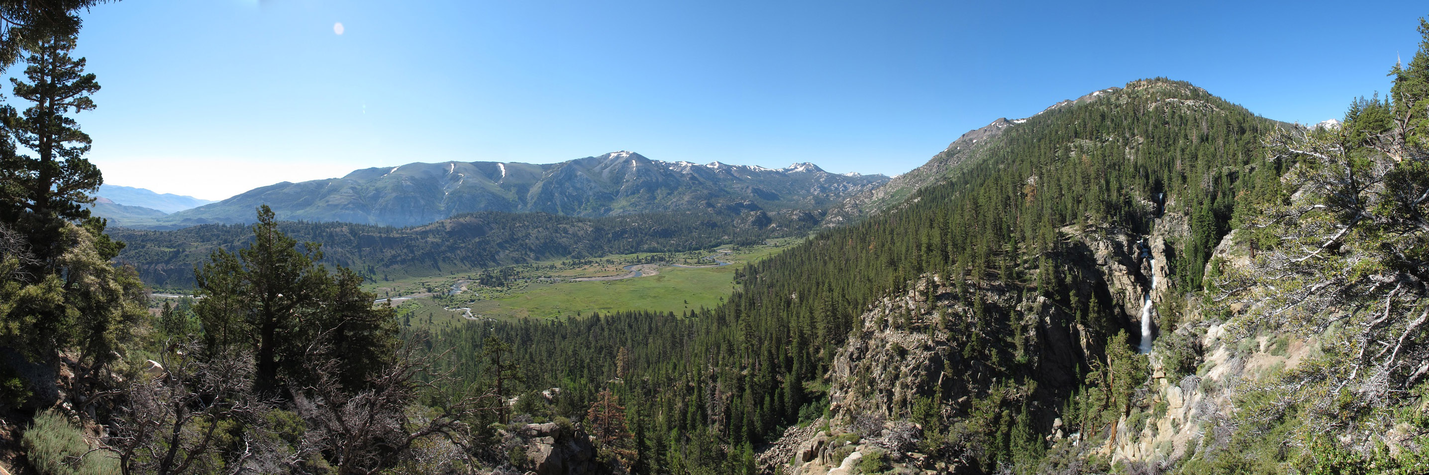
Levitt Falls Pano
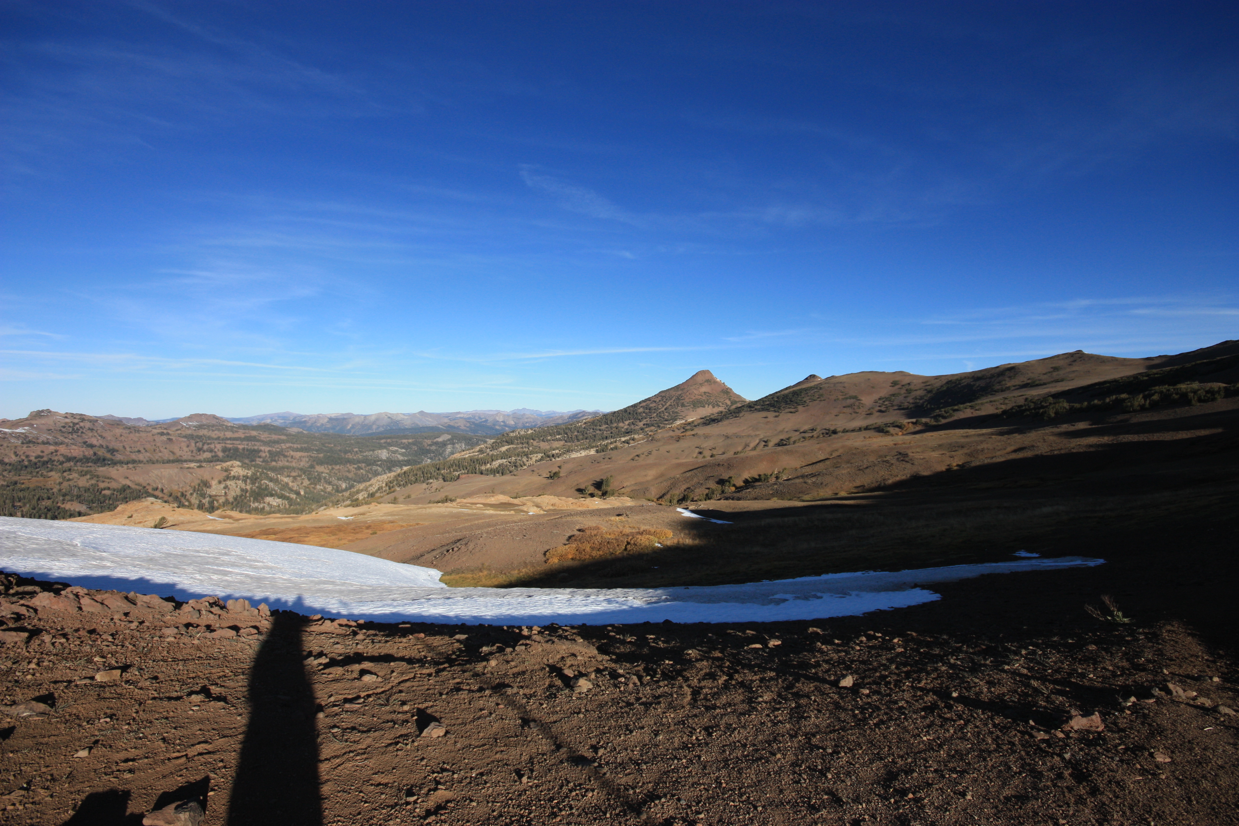
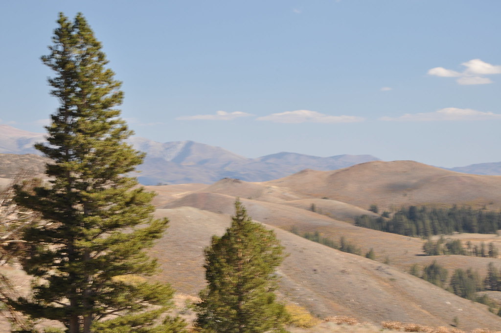
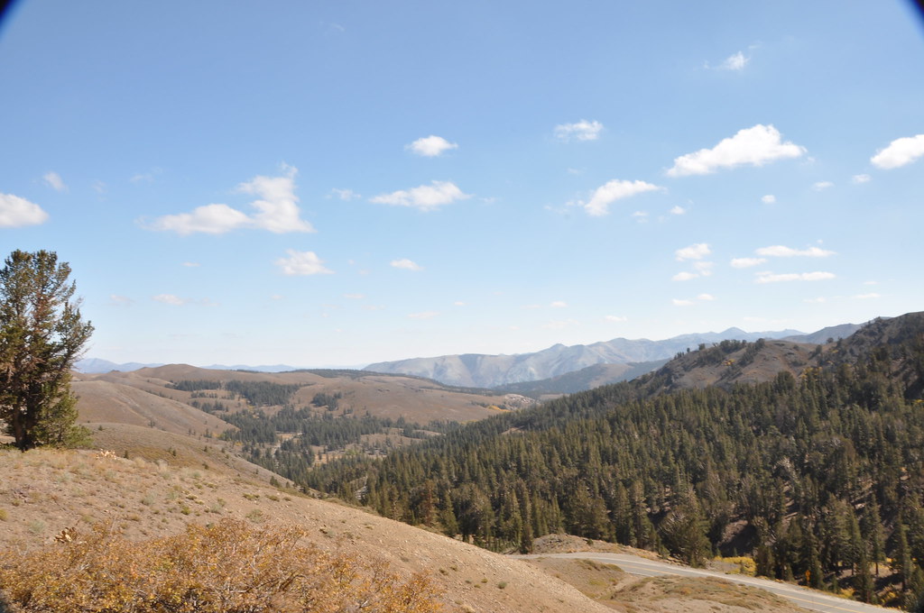
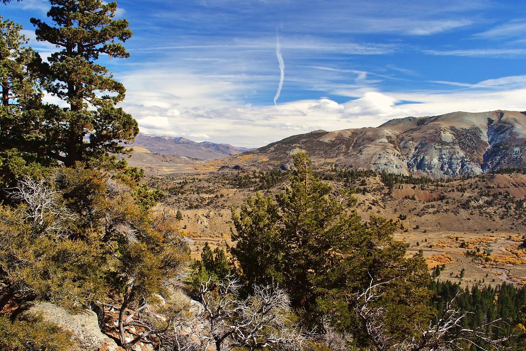
A beautiful view near the Sonora Pass
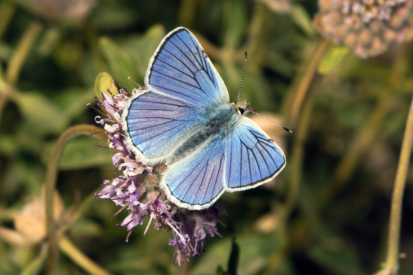
Blue Copper (Lycaena heteronea)
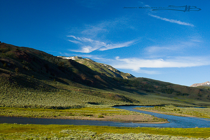
Sonora Pass, California

Mountain School-45
Sonora Pass, California
Sonora Pass, California
Sonora Pass, California
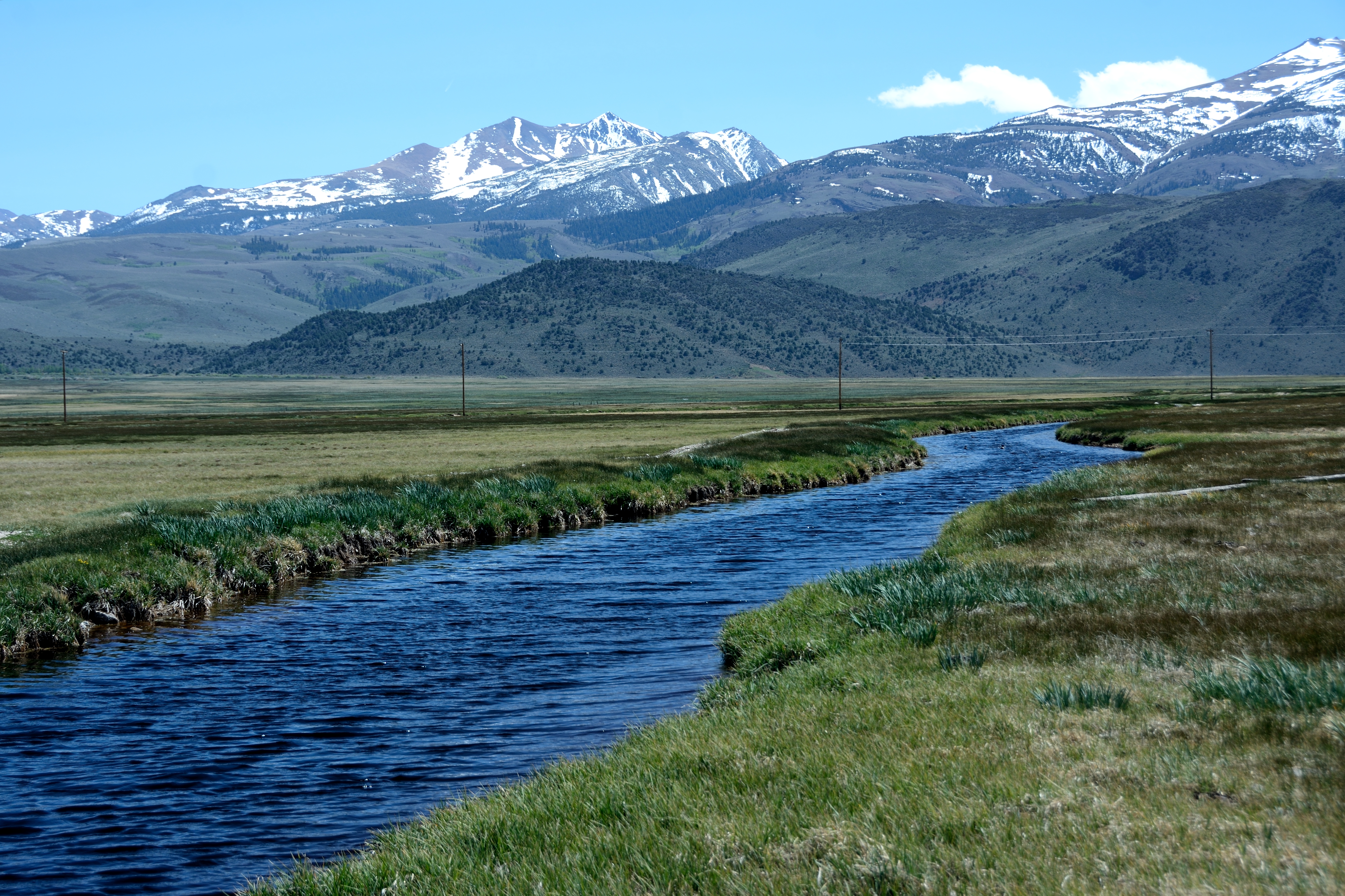
Robinson Creek
Leavitt Meadows Rolleiflex2-8EPlanar FujiAcros100 HC-110dilH 8min 23C 30secAg2x 2013-07 VSmac 9000 Scan-130825-0008 FFss
Let the beauty of what you love be what you do…

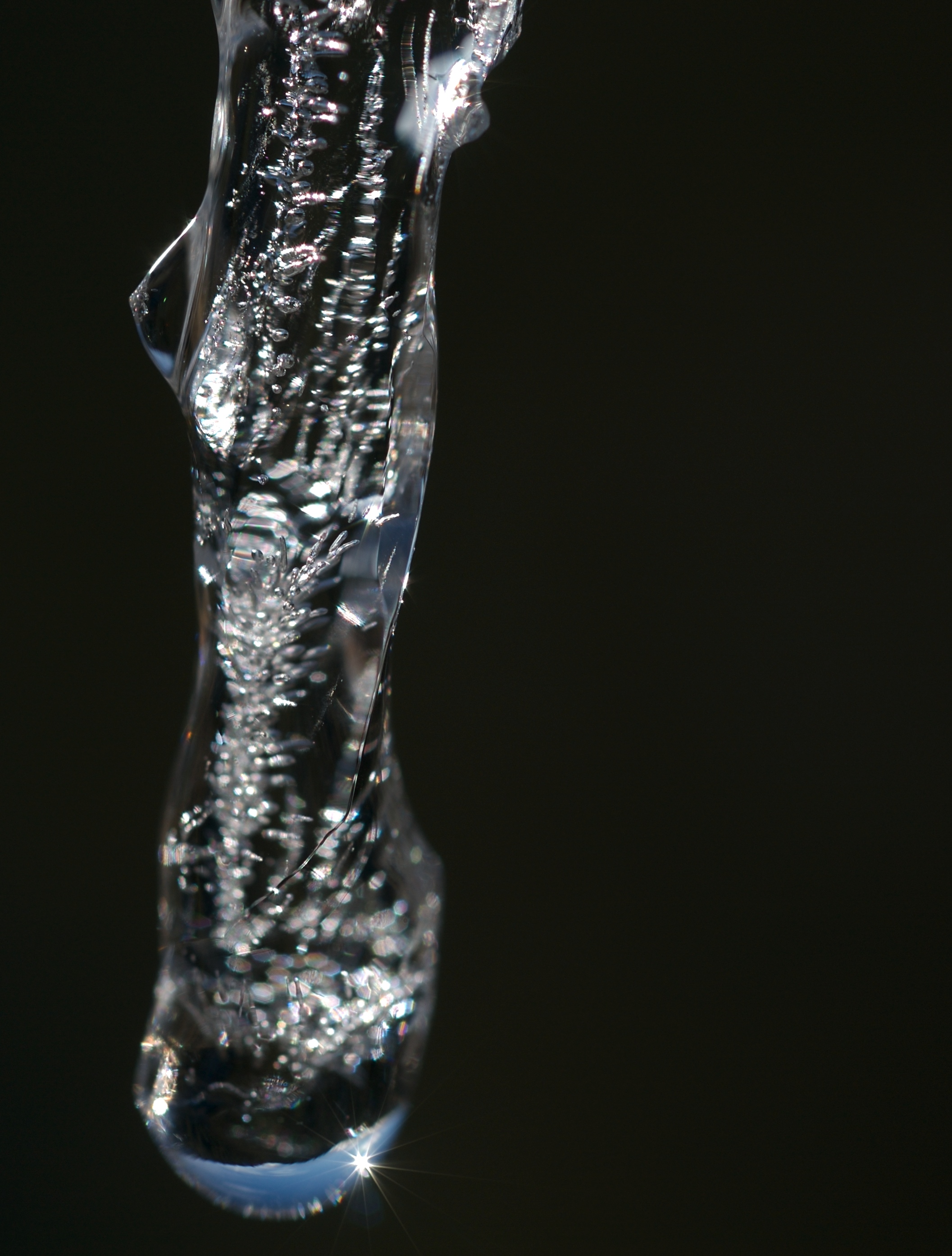
Light in the Dark

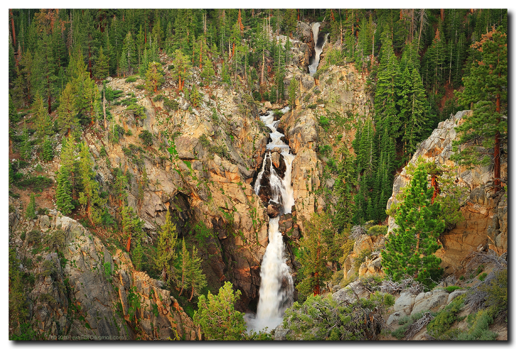
Silver Falls, Mono County, CA
Sierra Nevada Autumn

Sierra Nevada Autumn ll

Aspen Leaves in the Water

IMG_3389: Fall Color
w walker river
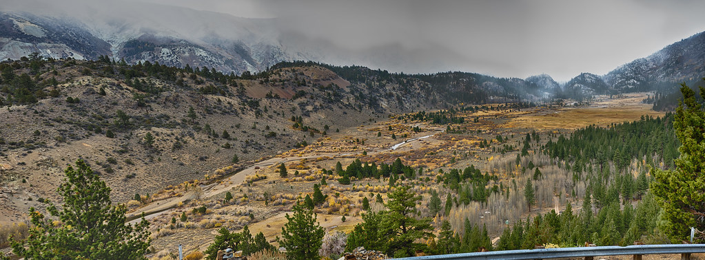
Sonora Pass Highway
Rt108-5-5.jpg
Winding River

IMG_4760.jpg

Autumn, West Walker River, CA

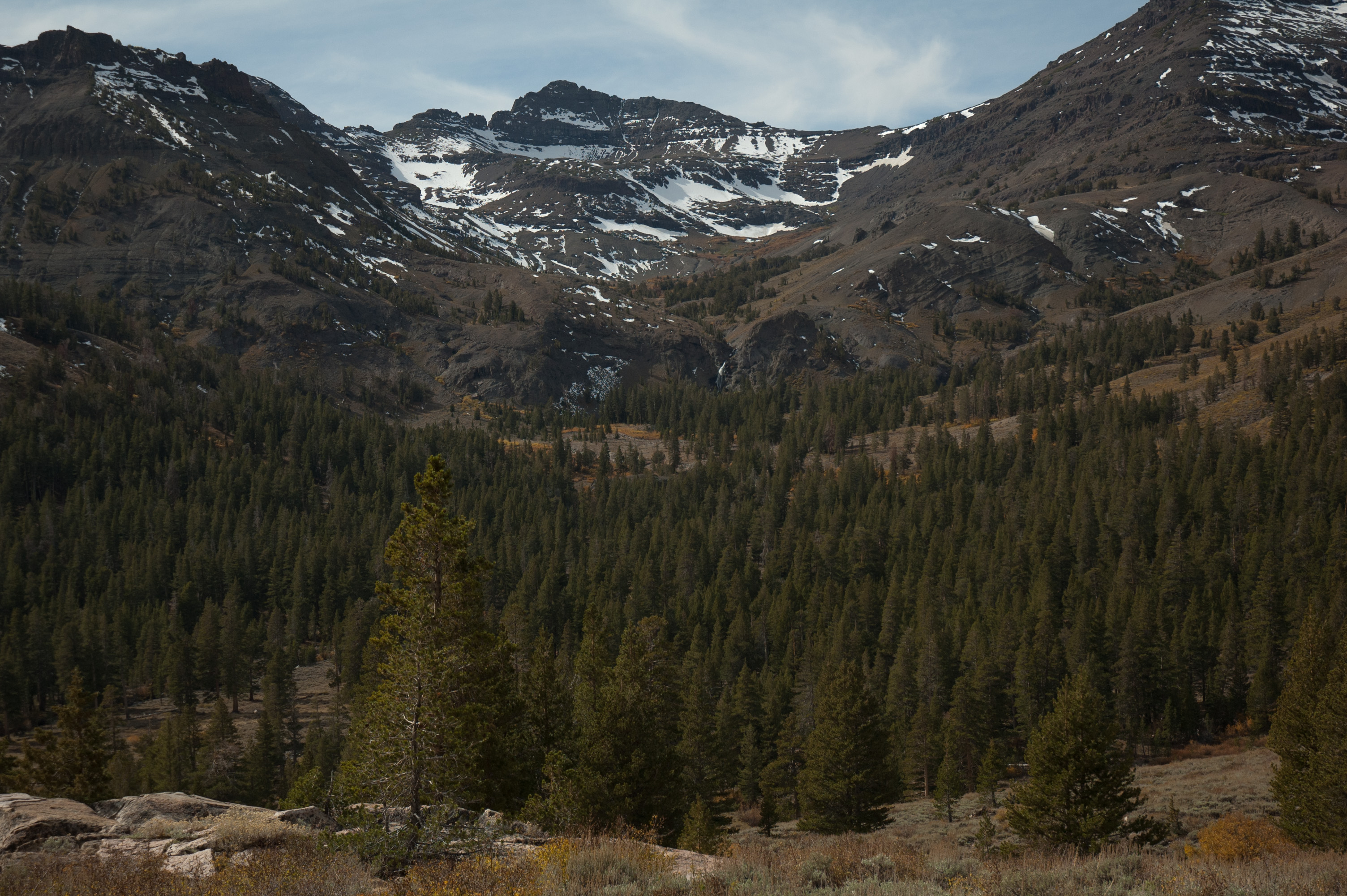
Sonora Pass
Topographic Map of Sonora Pass, California, USA
Find elevation by address:

Places near Sonora Pass, California, USA:
Leavitt Peak
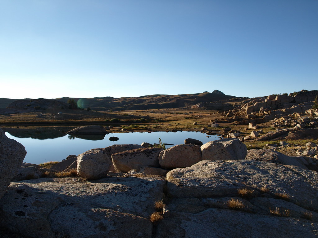
Leavitt Lake
White Mountain
Night Cap Peak
Stanislaus Peak
Kennedy Peak
Sierra Nevada
Molo Mountain
Whitecliff Peak
Lost Cannon Peak
Haypress Meadow
Grizzly Peak
Black Hawk Mountain
Iceland Lake
Bald Peak
Disaster Peak
Granite Dome
Antelope Peak
Clark Fork Campground
Forsyth Peak
Recent Searches:
- Elevation of Corso Fratelli Cairoli, 35, Macerata MC, Italy
- Elevation of Tallevast Rd, Sarasota, FL, USA
- Elevation of 4th St E, Sonoma, CA, USA
- Elevation of Black Hollow Rd, Pennsdale, PA, USA
- Elevation of Oakland Ave, Williamsport, PA, USA
- Elevation of Pedrógão Grande, Portugal
- Elevation of Klee Dr, Martinsburg, WV, USA
- Elevation of Via Roma, Pieranica CR, Italy
- Elevation of Tavkvetili Mountain, Georgia
- Elevation of Hartfords Bluff Cir, Mt Pleasant, SC, USA