Elevation of Antelope Peak, California, USA

Location: United States > California > Mono County > Coleville >

Longitude: -119.55739

Latitude: 38.4704667

Elevation: 3014m / 9888feet

Barometric Pressure: 70KPa

Elevation Map:

elevation map of Antelope Peak, California, USA

Satellite Map:

Satellite map of Antelope Peak, California, USA

Related Photos:

california trees mountains fall nature water colors yellow reflections river landscape photography stanislaus nikon postcard tokina pines 1224mm d90 mattgranz freewallpaper
The Stanislaus River by Fall
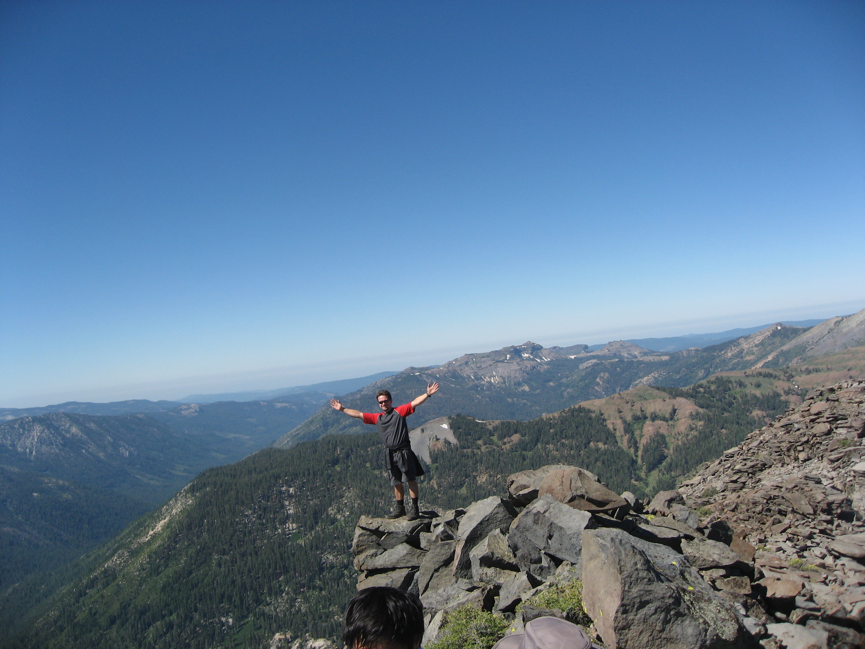
california sunset wild sky sunlight color nature beauty clouds outdoors evening colorful shadows view illumination roadtrip adventure stunning glowing sierranevada hwy395 exploration easternsierra monocounty wowsky zoniedude1 earthnaturelife canonpowershotg12 easternsierraexpedition2013 6760ftelevation lookupandwow
Look Up and Wow...
california ca trip travel autumn trees light wild usa mountain mountains west fall nature usmc america forest training t landscape geotagged photography photo nikon unitedstates natural photos military united unitedstatesofamerica scenic meadow landmarks landmark center nationalforest american valley installation remote states wilderness dod 2008 marinecorps rugged warfare d90 southernbreeze humboldttoiyabenationalforest nikond90 pickelmeadow mwtc
United States Marine Corps Mountain Warfare Training Center - h
mountains geotagged tahoe geo:country=unitedstatesofamerica image:Shot=15 camera:make=canon geo:state=ca camera:model=eoselan image:rating=2 event:Type=travel event:Group=joes image:CDID=811731813390 cd:id=811731813390 cd:num=58 roll:type=gold2006 event:Code=199805t image:NegPage=0248 image:Roll=927 roll:num=927 roll:envelope=67118 neg:page=0248 image:CD=58064 image:CD=5864 address:Tag=laketahoe geo:city=laketahoe
Lake Tahoe
mountains geotagged tahoe geo:country=unitedstatesofamerica image:Shot=20 camera:make=canon geo:state=ca camera:model=eoselan image:rating=2 event:Type=travel event:Group=joes image:CDID=811731813390 cd:id=811731813390 cd:num=58 roll:type=gold2006 event:Code=199805t image:NegPage=0248 image:Roll=927 roll:num=927 roll:envelope=67118 neg:page=0248 address:Tag=laketahoe geo:city=laketahoe image:CD=58069 image:CD=5869
Lake Tahoe
california travel panorama hike pacificcresttrail sierranevada sonorapass
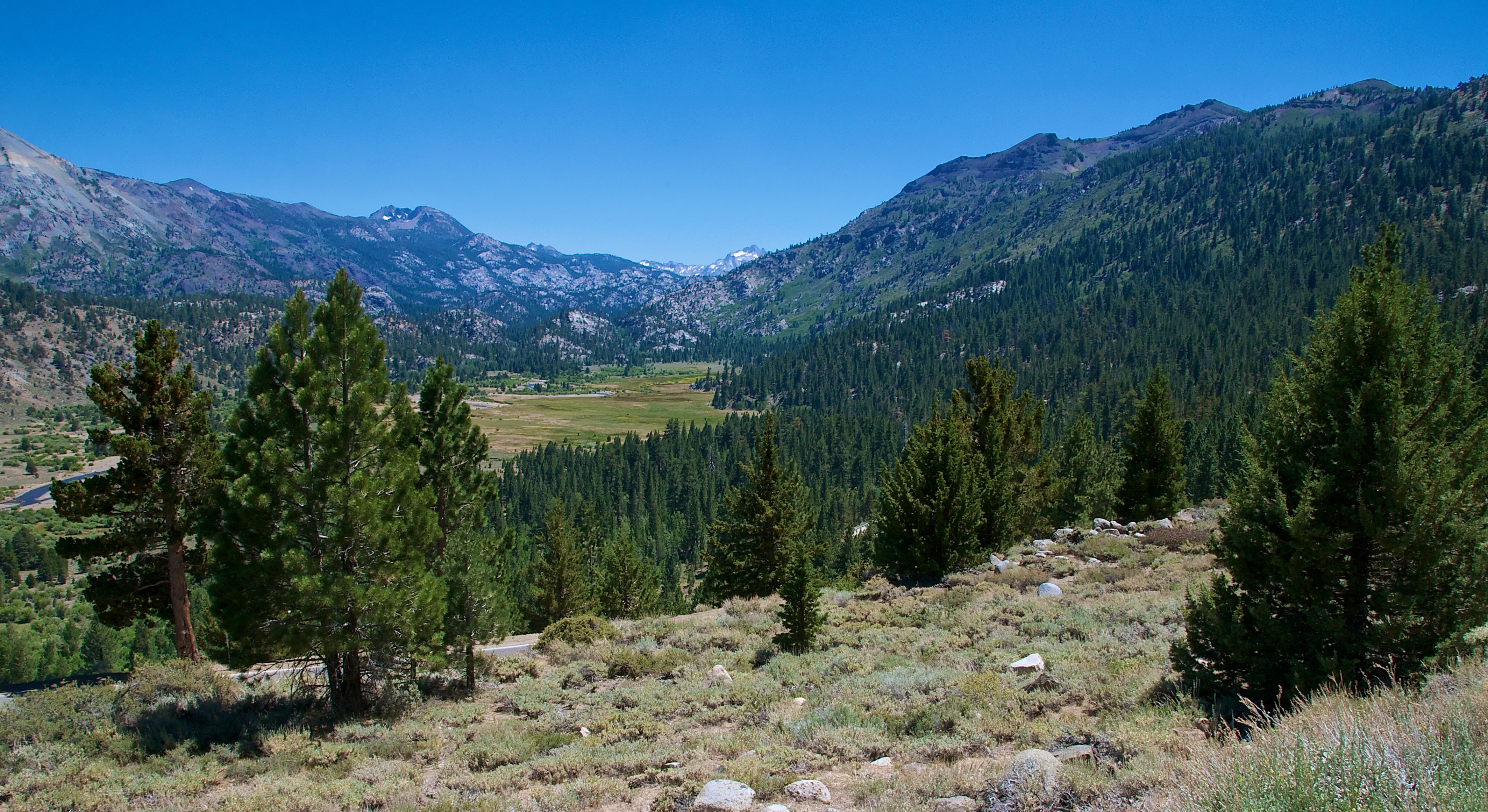
Panoramic view, Pacific Crest Trail from Sonora Pass
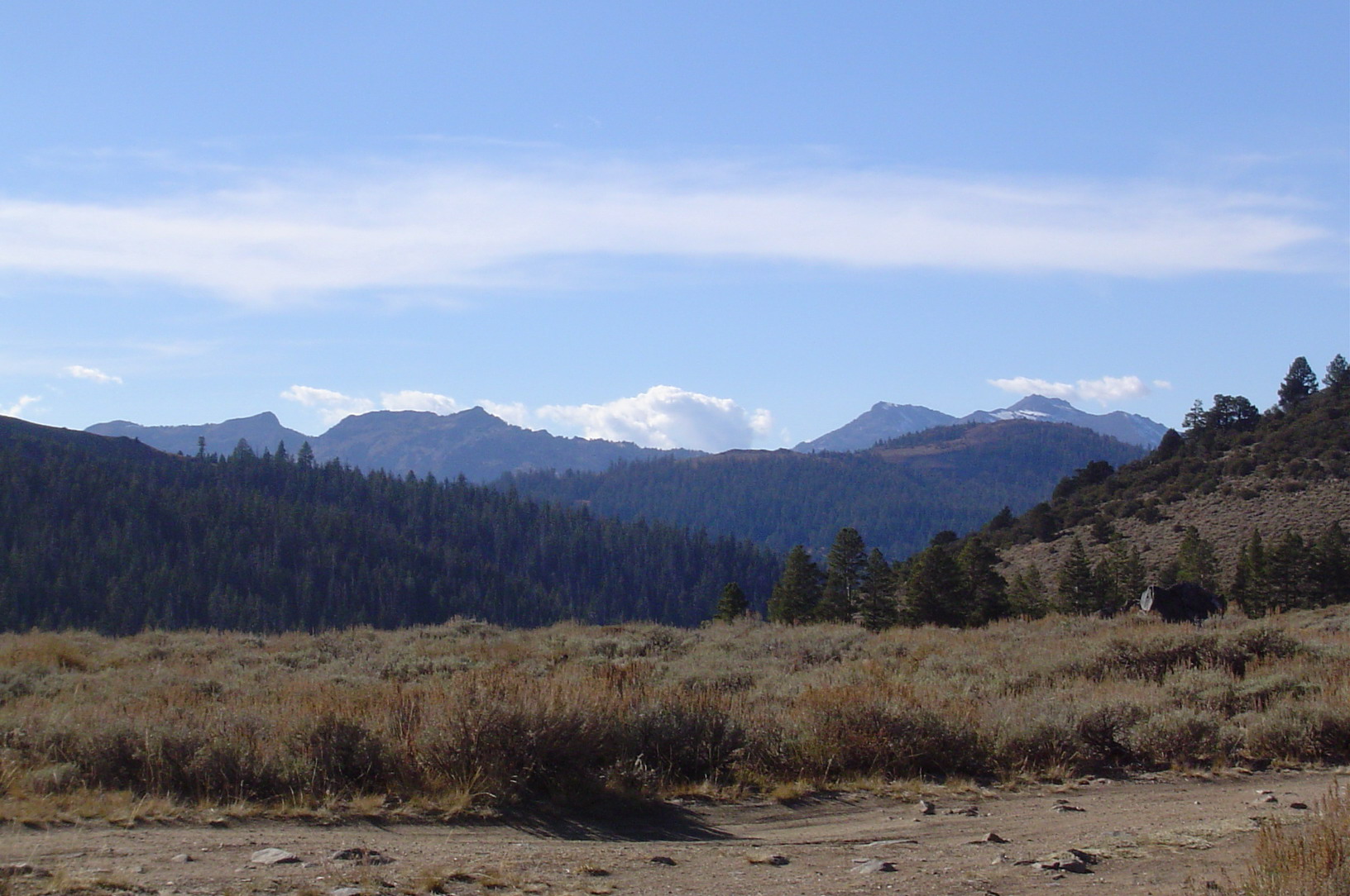
camping sonora raw jocelyn pickelmeadow
Nice view
lumixg20f17
Another View From My Campsite
afsdxvrzoomnikkor18200mmf3556gifedii
Crag & Meadow
california ca highway view nevada sierra nv route 395
Centennial Bluff
california morning autumn sky usa mountain lake cold west tree fall nature water clouds america landscape dawn scenery frost view unitedstates nevada smooth shoreline foggy peaceful calm hills ridge shore topaz coleville
Topaz Lake
california morning autumn sky usa mountain lake cold west tree fall nature water clouds america landscape dawn scenery frost view unitedstates nevada smooth shoreline foggy peaceful calm hills ridge shore topaz coleville
Topaz Lake
california unitedstates
Nice View
california unitedstates
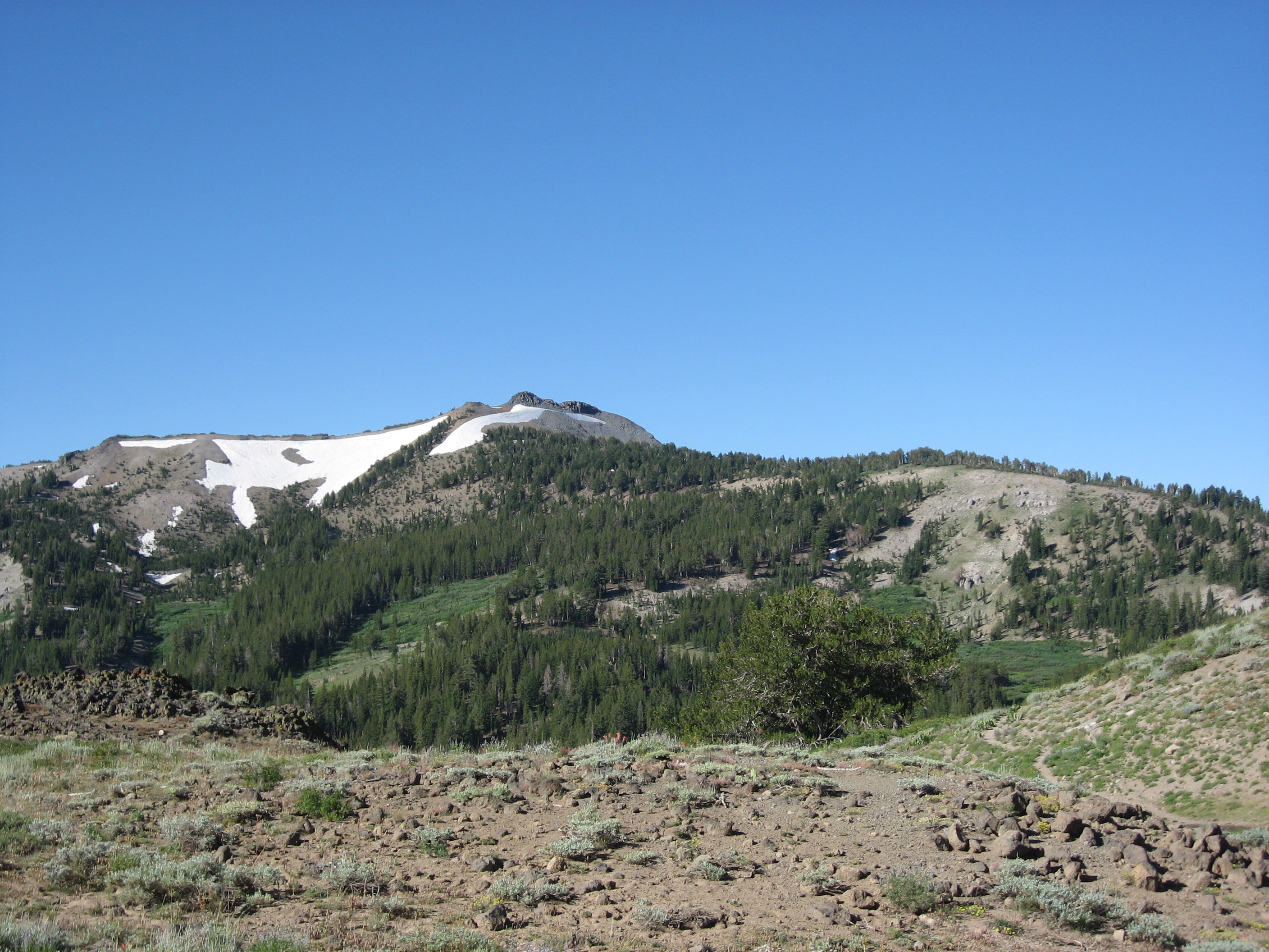
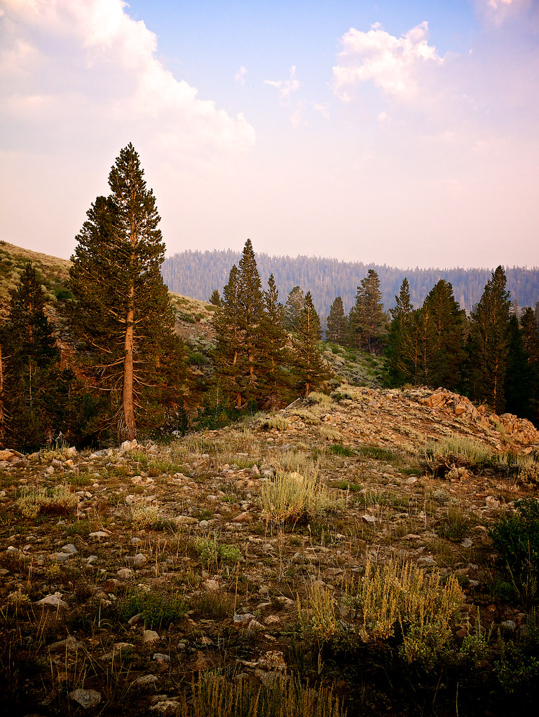
First view of Disaster Peak
california unitedstates
South view from Disaster Peak
mountains northerncalifornia sierra norcal
West View from the Mountain Peak
mountains northerncalifornia sierra norcal
View West from the House
mountains northerncalifornia sierra norcal
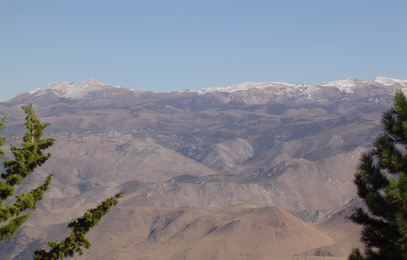
East View of Neighboring Range Telephotoed from Mountain Peak
mountains northerncalifornia sierra norcal
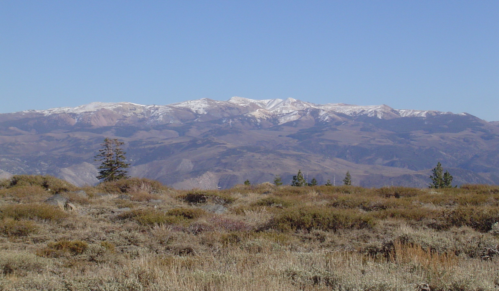
East View of Neighboring Range from Mountain Peak
mountains northerncalifornia sierra norcal
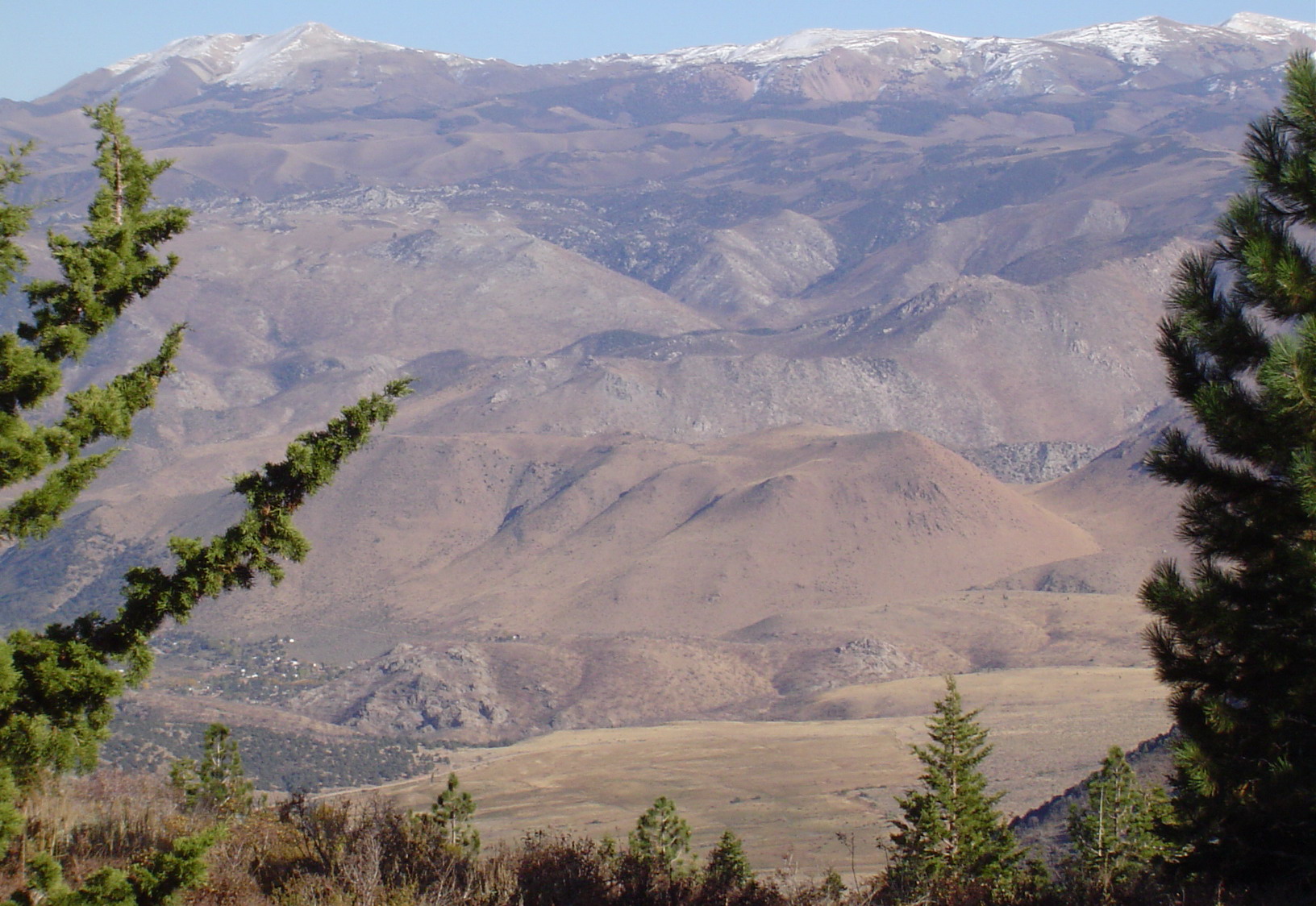
East View of Neighboring Mountain and Valley Telephotoed from Mountain Peak