Elevation of Somandepalli, Andhra Pradesh, India
Location: India > Andhra Pradesh > Anantapuram >
Longitude: 77.6076433
Latitude: 14.0088622
Elevation: 648m / 2126feet
Barometric Pressure: 94KPa
Elevation Map:
Satellite Map:
Related Photos:

DSC_0488

DSC_0481

DSC_0489
DSC_0479

DSC_0478

DSC_0492

DSC_0494
DSC_0493

Indian Stray Dog (female -- that's no Boy)

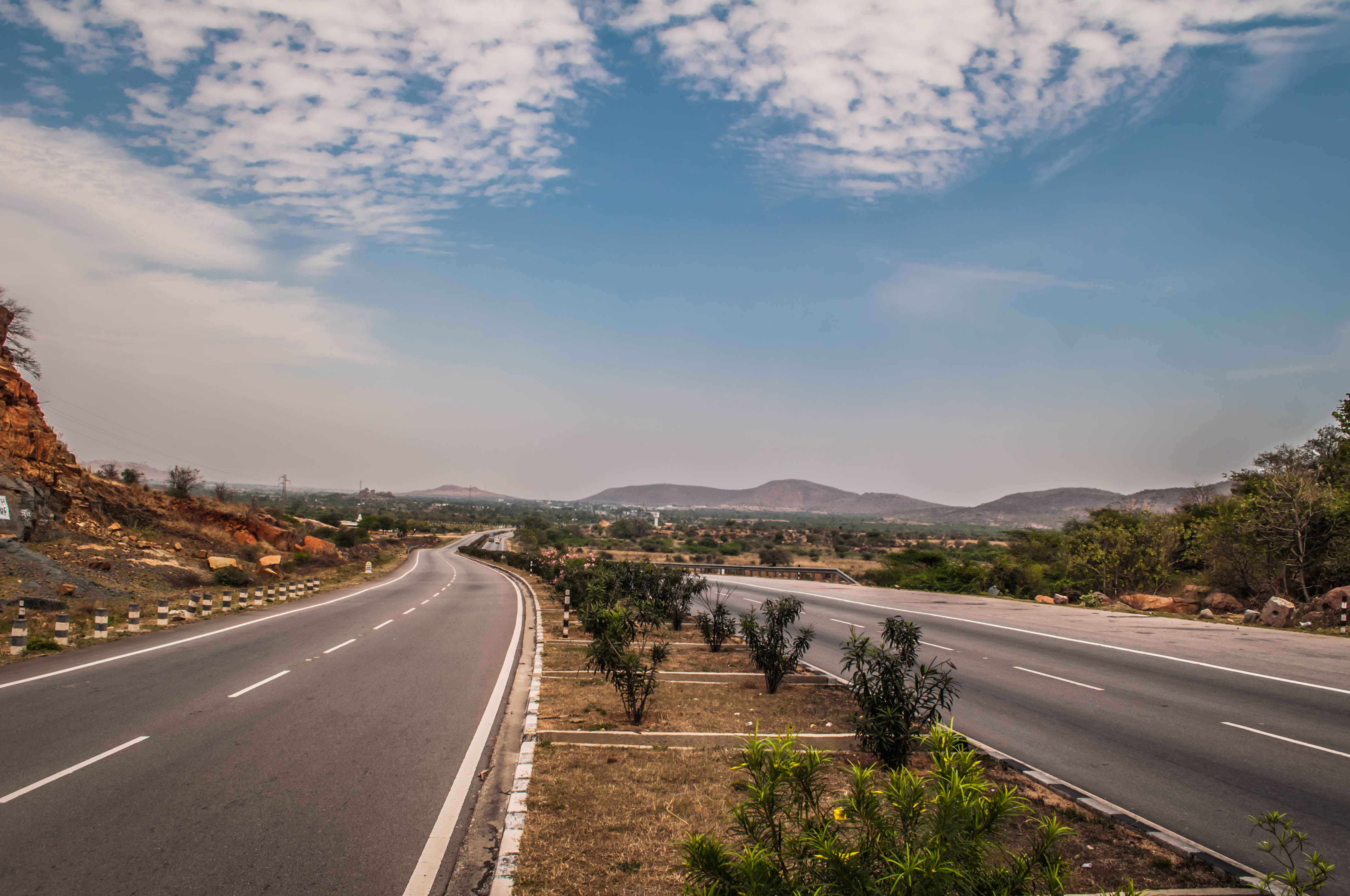
Crazy Yatra

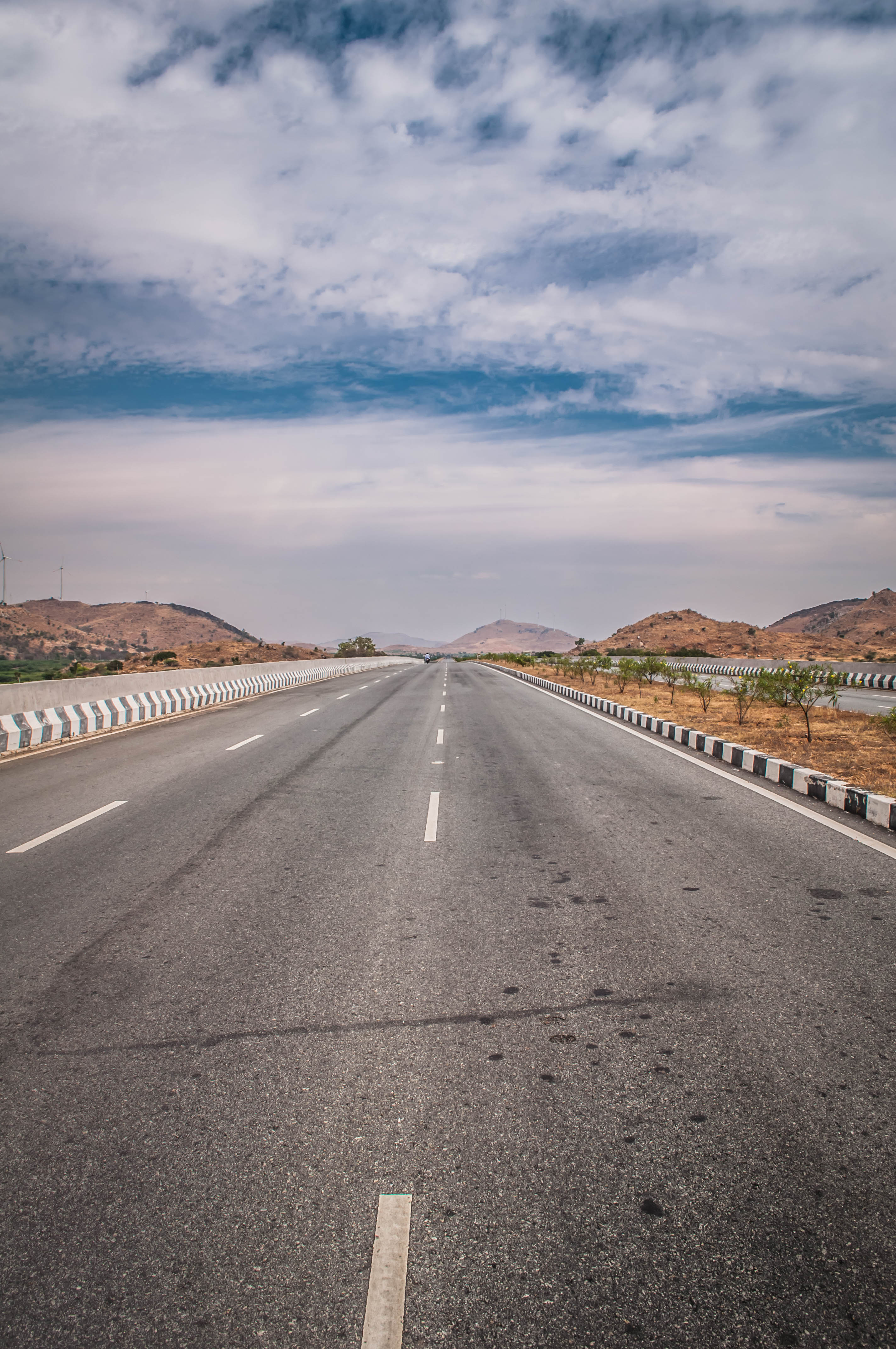
The Road never ends, only our vision does.

Abandoned Pond
Topographic Map of Somandepalli, Andhra Pradesh, India
Find elevation by address:

Places near Somandepalli, Andhra Pradesh, India:
Somandepalle Cheruvu
Palasamudram
Tekulodu
Parigi
Chilamathur
Lepakshi
Abadpet
7-7-105
Mukkidipeta
Hindupur
Dodagatta Kottala
Bagepalli
Surasadmagiri Hill
Gudibande Fort
Gudibanda [r]
Gudibanda
Gauribidanur
Amadagur
Chikballapur
Kavaranahalli
Recent Searches:
- Elevation of Corso Fratelli Cairoli, 35, Macerata MC, Italy
- Elevation of Tallevast Rd, Sarasota, FL, USA
- Elevation of 4th St E, Sonoma, CA, USA
- Elevation of Black Hollow Rd, Pennsdale, PA, USA
- Elevation of Oakland Ave, Williamsport, PA, USA
- Elevation of Pedrógão Grande, Portugal
- Elevation of Klee Dr, Martinsburg, WV, USA
- Elevation of Via Roma, Pieranica CR, Italy
- Elevation of Tavkvetili Mountain, Georgia
- Elevation of Hartfords Bluff Cir, Mt Pleasant, SC, USA