Elevation of Parigi, Andhra Pradesh, India
Location: India > Andhra Pradesh > Anantapuram >
Longitude: 77.4658948
Latitude: 13.8865267
Elevation: 625m / 2051feet
Barometric Pressure: 94KPa
Elevation Map:
Satellite Map:
Related Photos:
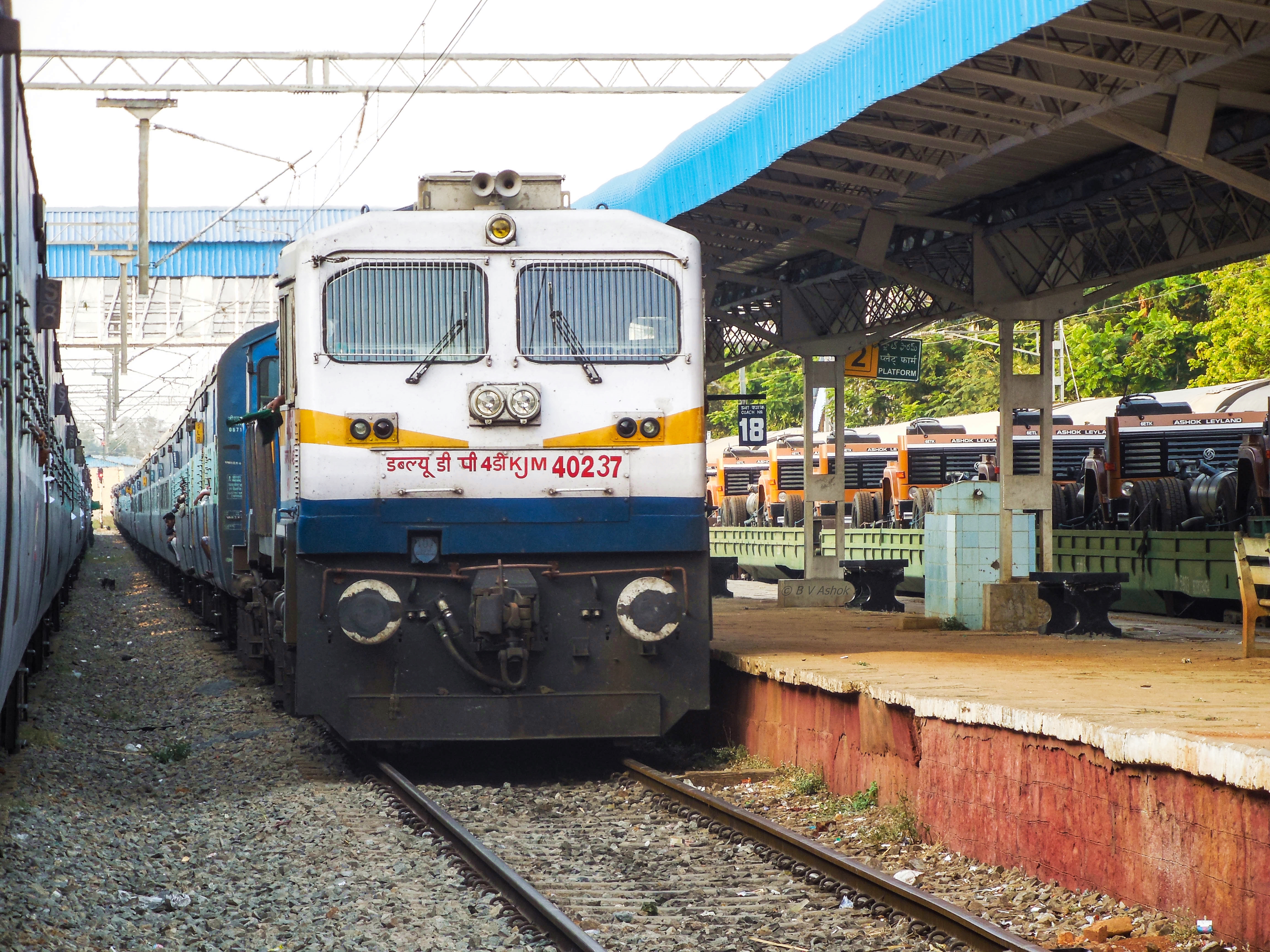
Karnataka Sampark kranthi SF
120203_01 copy

2012/01/24

Sasikumar.s

Rupam Sarma

Sabyasachi & Nibi

It's a Hindupur Sunrise.
Topographic Map of Parigi, Andhra Pradesh, India
Find elevation by address:

Places near Parigi, Andhra Pradesh, India:
Mukkidipeta
7-7-105
Abadpet
Hindupur
Lepakshi
Dodagatta Kottala
Somandepalli
Somandepalle Cheruvu
Tekulodu
Palasamudram
Chilamathur
Gauribidanur
Gudibanda [r]
Surasadmagiri Hill
Gudibande Fort
Gudibanda
Bagepalli
Kavaranahalli
Kaurava Kunda
Kaurava Kunda Peak
Recent Searches:
- Elevation of Corso Fratelli Cairoli, 35, Macerata MC, Italy
- Elevation of Tallevast Rd, Sarasota, FL, USA
- Elevation of 4th St E, Sonoma, CA, USA
- Elevation of Black Hollow Rd, Pennsdale, PA, USA
- Elevation of Oakland Ave, Williamsport, PA, USA
- Elevation of Pedrógão Grande, Portugal
- Elevation of Klee Dr, Martinsburg, WV, USA
- Elevation of Via Roma, Pieranica CR, Italy
- Elevation of Tavkvetili Mountain, Georgia
- Elevation of Hartfords Bluff Cir, Mt Pleasant, SC, USA