Elevation of Gauribidanur, Karnataka, India
Location: India > Karnataka > Chikballapur >
Longitude: 77.5169572
Latitude: 13.6111591
Elevation: 691m / 2267feet
Barometric Pressure: 93KPa
Elevation Map:
Satellite Map:
Related Photos:

Good morning.
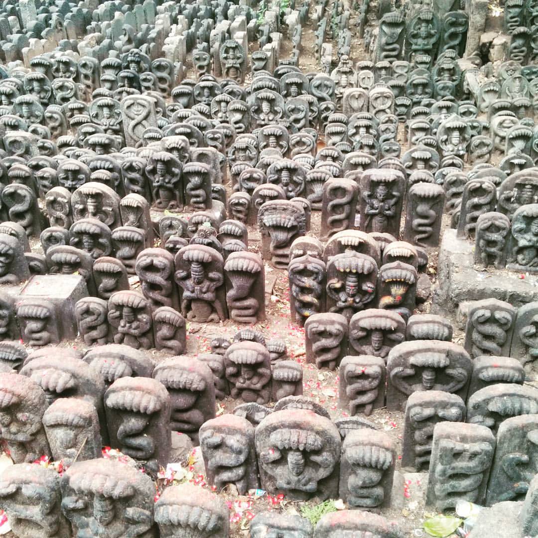
Day 268: Gods as far as the eye can see #project365

Suma tanu deepa

IMAG0716.jpg

IMAG0715.jpg
Tomorrow's beauty
Good morning from the train, which is ruining late by an hour. #trainlife #indianrailways

Bangalore Rajdhani express !!
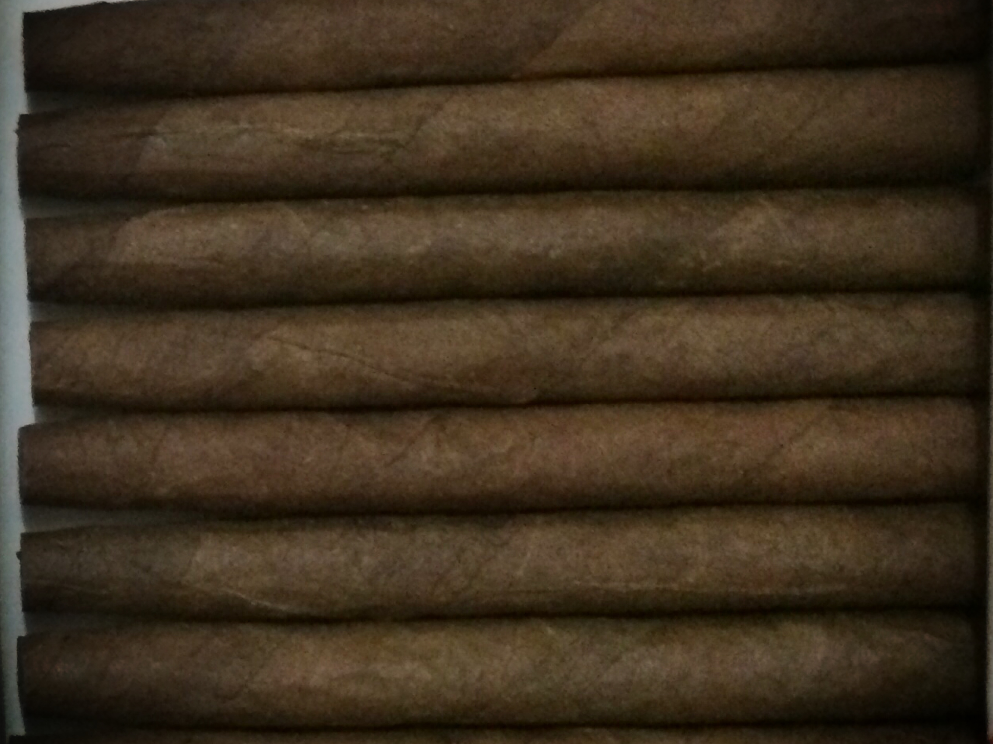
Cigars "cafe creme"
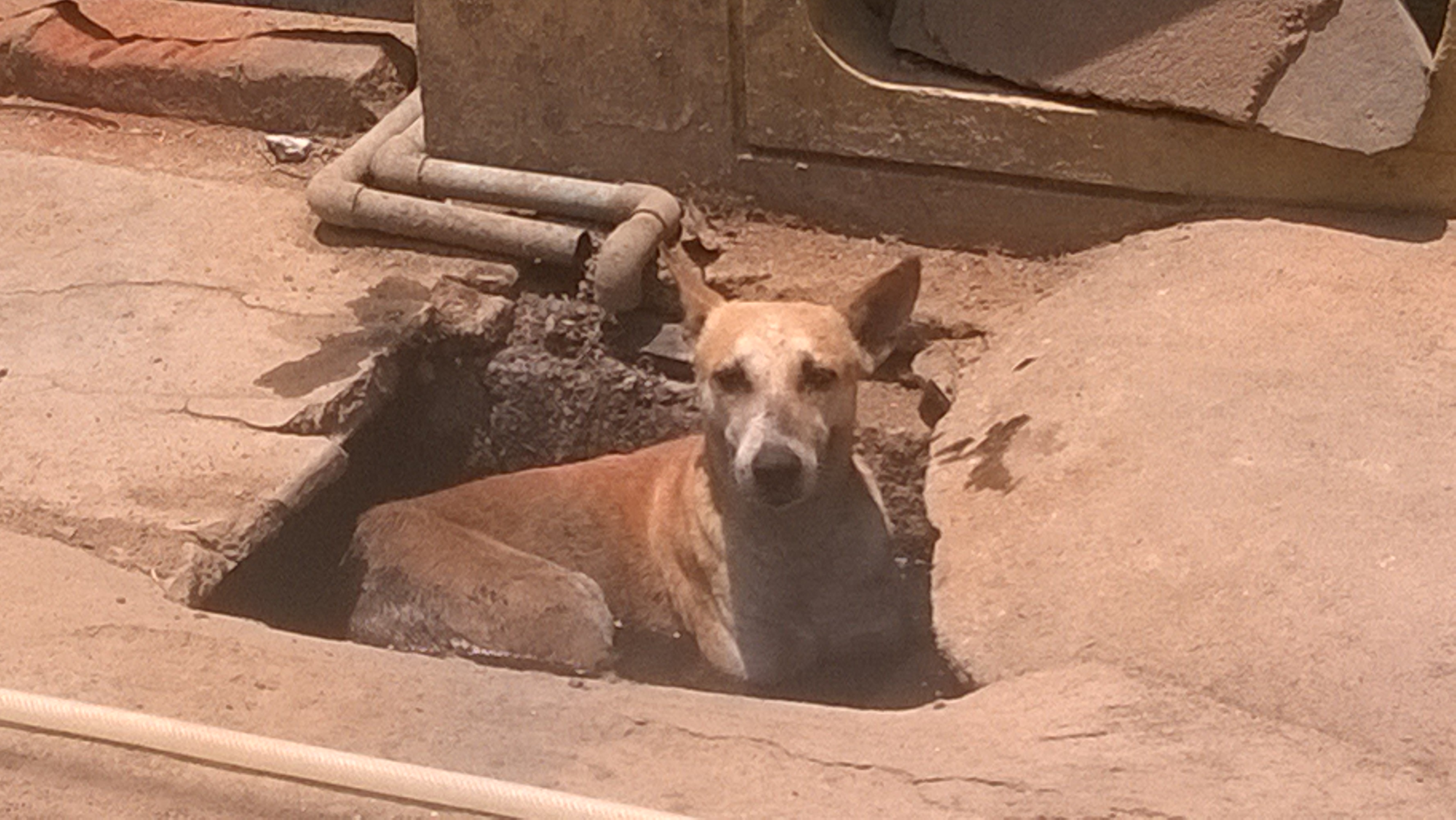
Beat the heat !!

cemera kannu
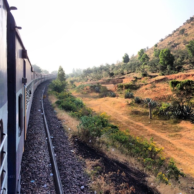
This train is late. Therefore bored. Therefore many pictures.
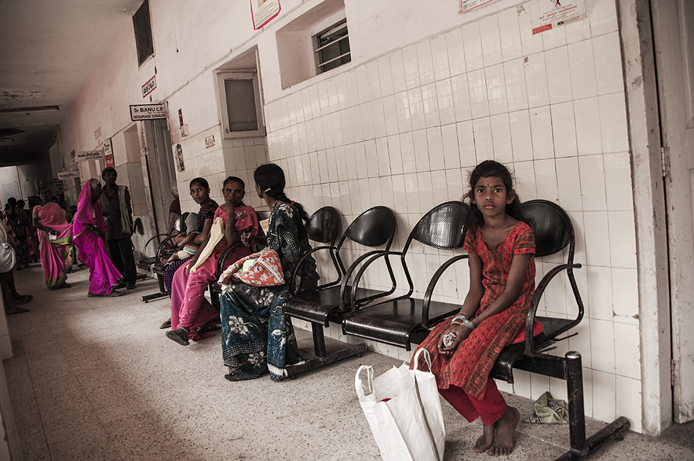
waiting for the doctor / a la espera del médico
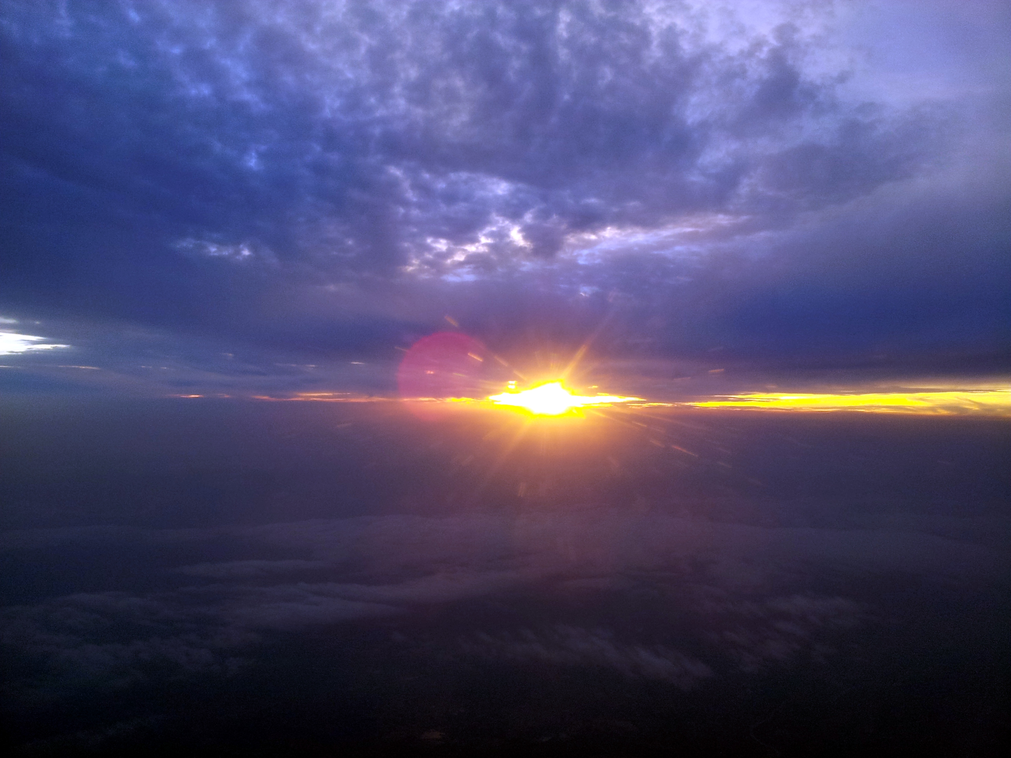
who is breaking the wall of clouds
2012/01/24
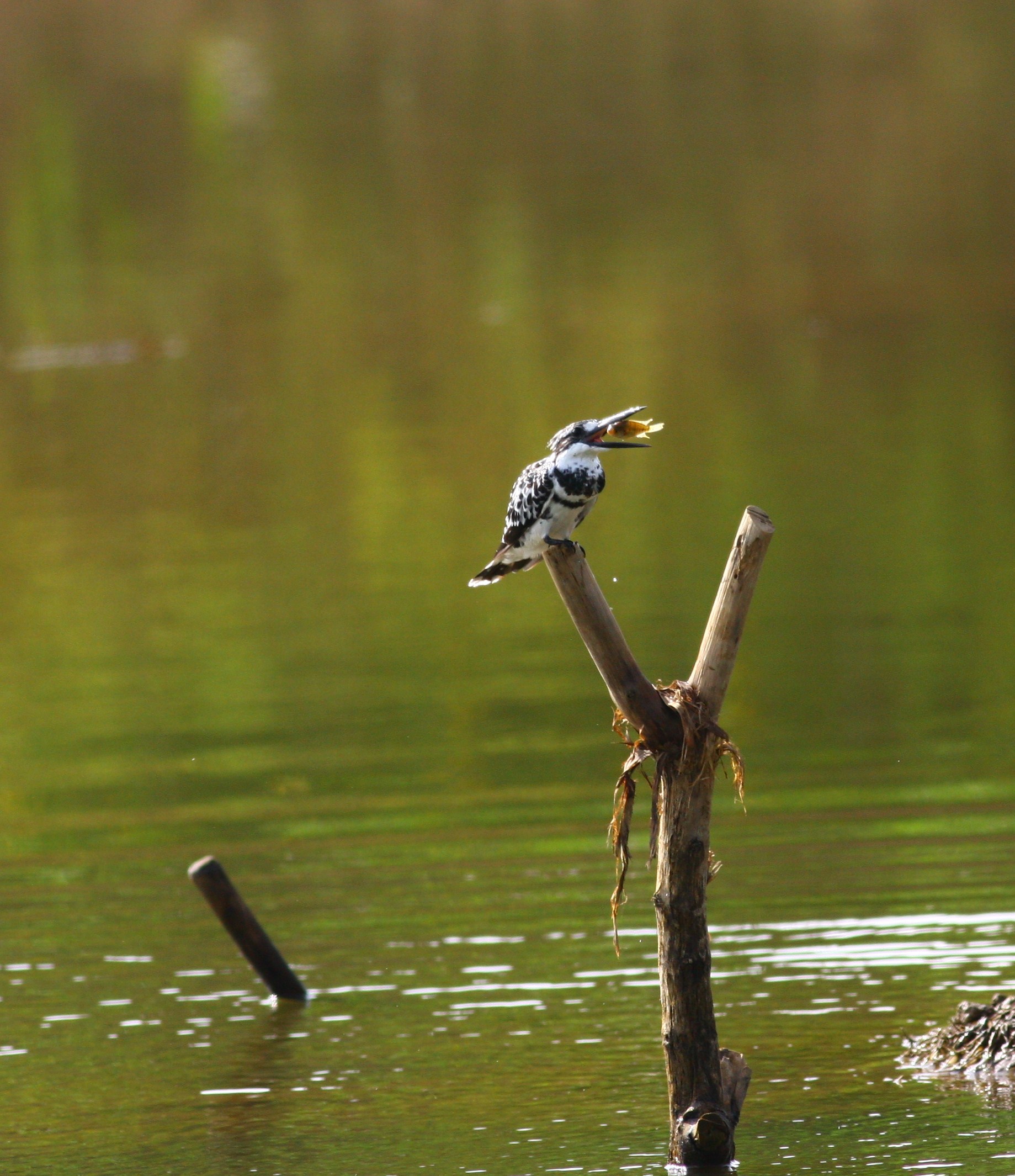
pied kingfisher
Topographic Map of Gauribidanur, Karnataka, India
Find elevation by address:

Places near Gauribidanur, Karnataka, India:
Gudibanda [r]
Gudibande Fort
Surasadmagiri Hill
Gudibanda
Hindupur
Lepakshi
Abadpet
Mukkidipeta
7-7-105
Kaurava Kunda
Kaurava Kunda Peak
Kavaranahalli
Chikkaballapura
Parigi
Hulukadi Betta
Tekulodu
Nandi Hills
Chilamathur
Sakkaregollahalli
Bagepalli
Recent Searches:
- Elevation of Corso Fratelli Cairoli, 35, Macerata MC, Italy
- Elevation of Tallevast Rd, Sarasota, FL, USA
- Elevation of 4th St E, Sonoma, CA, USA
- Elevation of Black Hollow Rd, Pennsdale, PA, USA
- Elevation of Oakland Ave, Williamsport, PA, USA
- Elevation of Pedrógão Grande, Portugal
- Elevation of Klee Dr, Martinsburg, WV, USA
- Elevation of Via Roma, Pieranica CR, Italy
- Elevation of Tavkvetili Mountain, Georgia
- Elevation of Hartfords Bluff Cir, Mt Pleasant, SC, USA