Elevation of Gudibanda, Karnataka, India
Location: India > Karnataka > Chikballapur >
Longitude: 77.7037131
Latitude: 13.6711326
Elevation: 829m / 2720feet
Barometric Pressure: 92KPa
Elevation Map:
Satellite Map:
Related Photos:
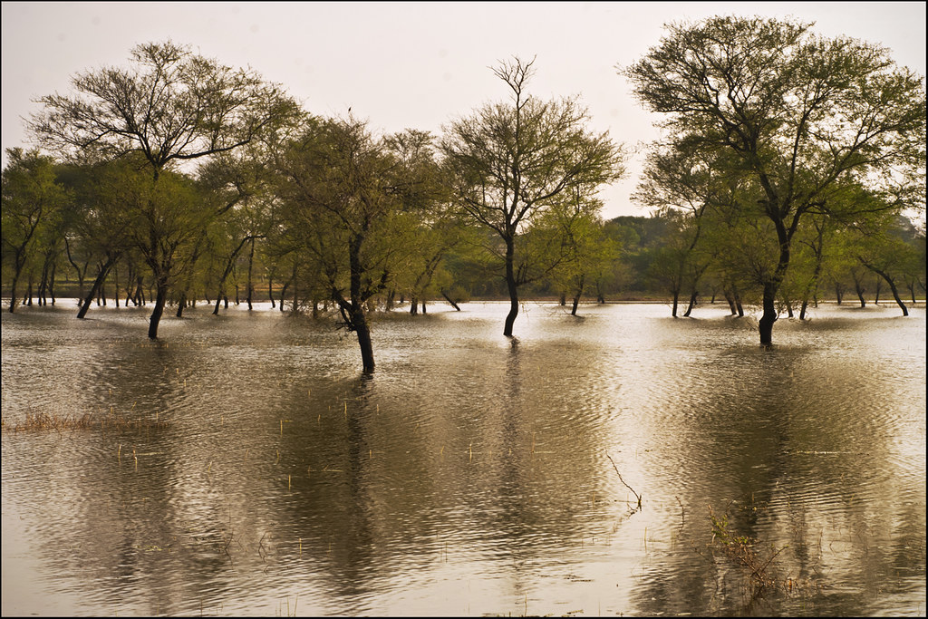
Paragodu Lake, Karnataka

The feeling when u stand and view the beautiful mountain....
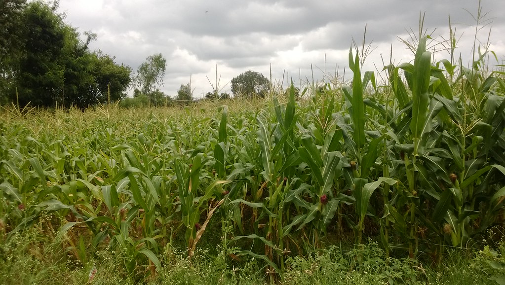
Maize crop with and without micronutrients

The sun set. #brothers #sunset #yellow #photographylovers #landscape

Kalkunte kere near Ballagere on NH...

Pramod S
Tomorrow's beauty
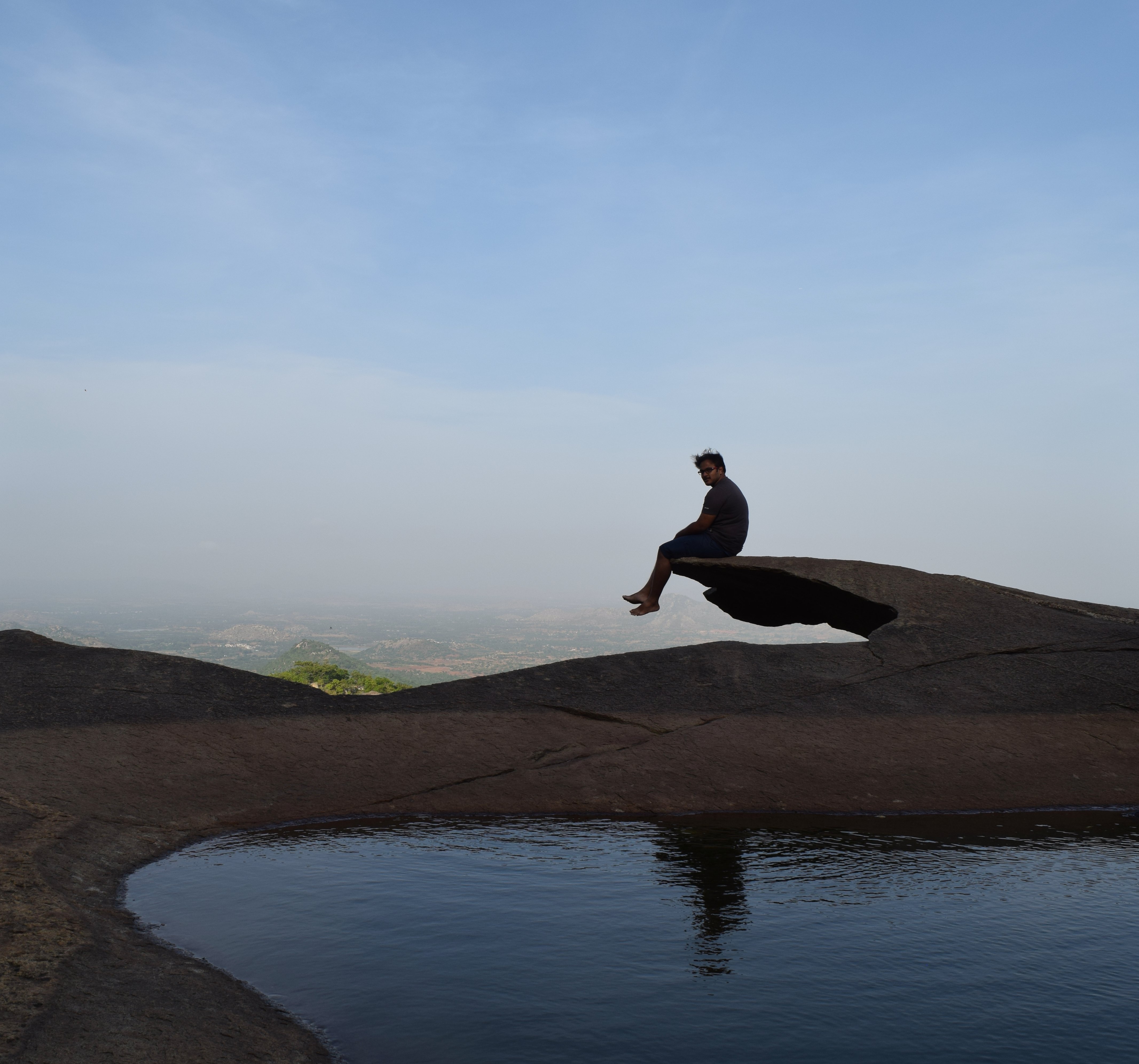
On the edge of a hill

Banniganakere at bushattihalli on NH7 with...
Topographic Map of Gudibanda, Karnataka, India
Find elevation by address:

Places near Gudibanda, Karnataka, India:
Gudibande Fort
Surasadmagiri Hill
Gudibanda [r]
Bagepalli
Lepakshi
Chilamathur
Kavaranahalli
Kaurava Kunda
Kaurava Kunda Peak
Gauribidanur
Tekulodu
Chikballapur
Chikkaballapura
Hindupur
Abadpet
7-7-105
Mukkidipeta
Palasamudram
Nandi Hills
Parigi
Recent Searches:
- Elevation of Corso Fratelli Cairoli, 35, Macerata MC, Italy
- Elevation of Tallevast Rd, Sarasota, FL, USA
- Elevation of 4th St E, Sonoma, CA, USA
- Elevation of Black Hollow Rd, Pennsdale, PA, USA
- Elevation of Oakland Ave, Williamsport, PA, USA
- Elevation of Pedrógão Grande, Portugal
- Elevation of Klee Dr, Martinsburg, WV, USA
- Elevation of Via Roma, Pieranica CR, Italy
- Elevation of Tavkvetili Mountain, Georgia
- Elevation of Hartfords Bluff Cir, Mt Pleasant, SC, USA