Elevation map of Snohomish County, WA, USA
Location: United States > Washington >
Longitude: -121.83394
Latitude: 48.0329979
Elevation: 225m / 738feet
Barometric Pressure: 99KPa
Elevation Map:
Satellite Map:
Related Photos:
Mixup March
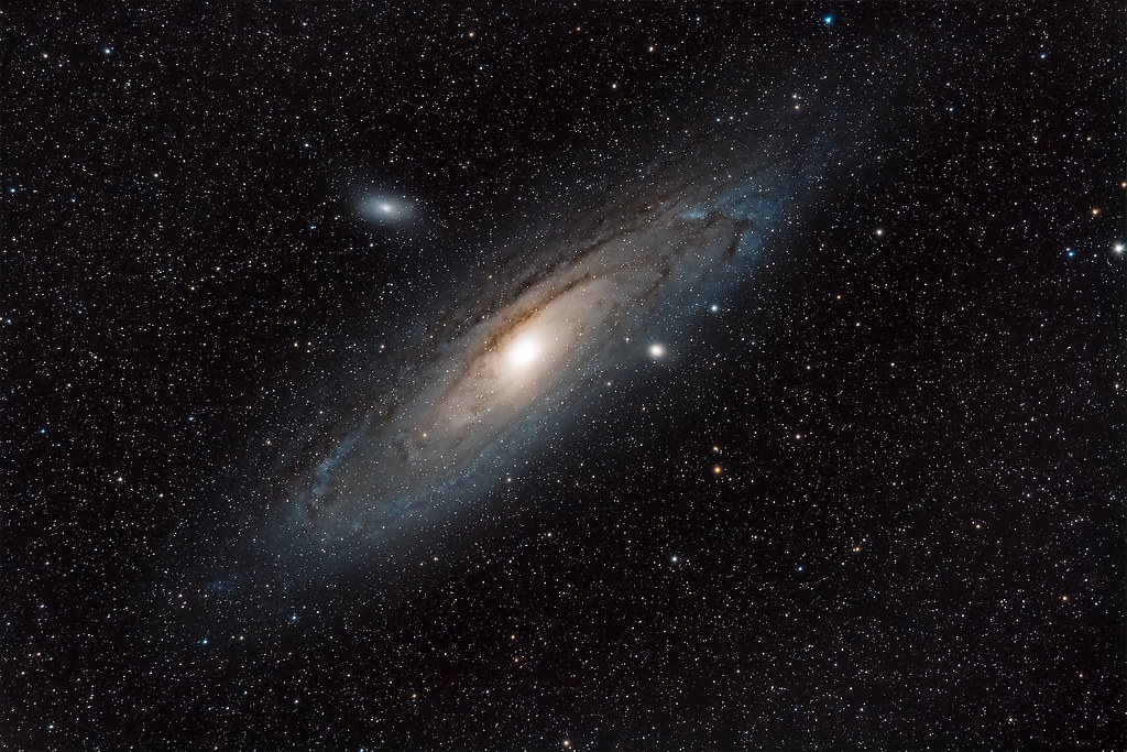
M31 - Andromeda Galaxy from Sultan Basin
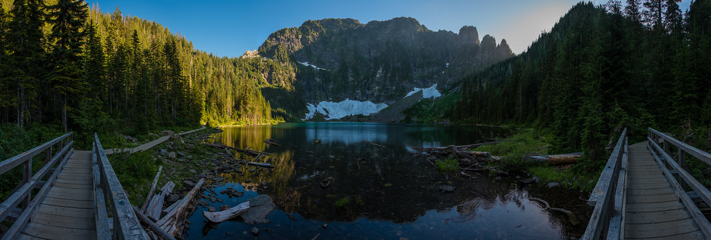
Lake 22 at Sunset
Granite in Gray
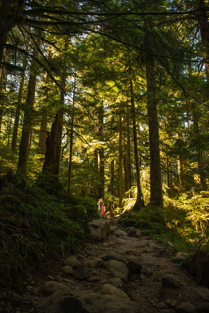
Coming down
Swimming Hole
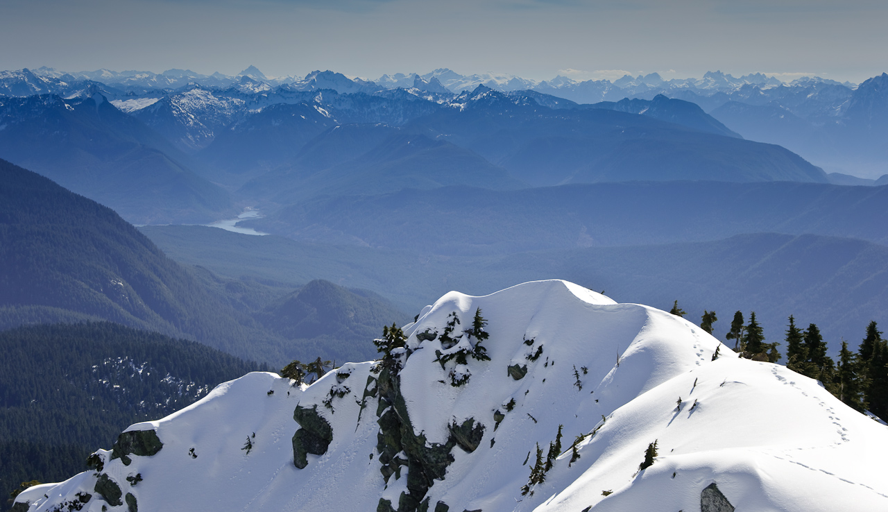
Three Fingered Mountain from Mount Pilchuck

A Cedar Reborn
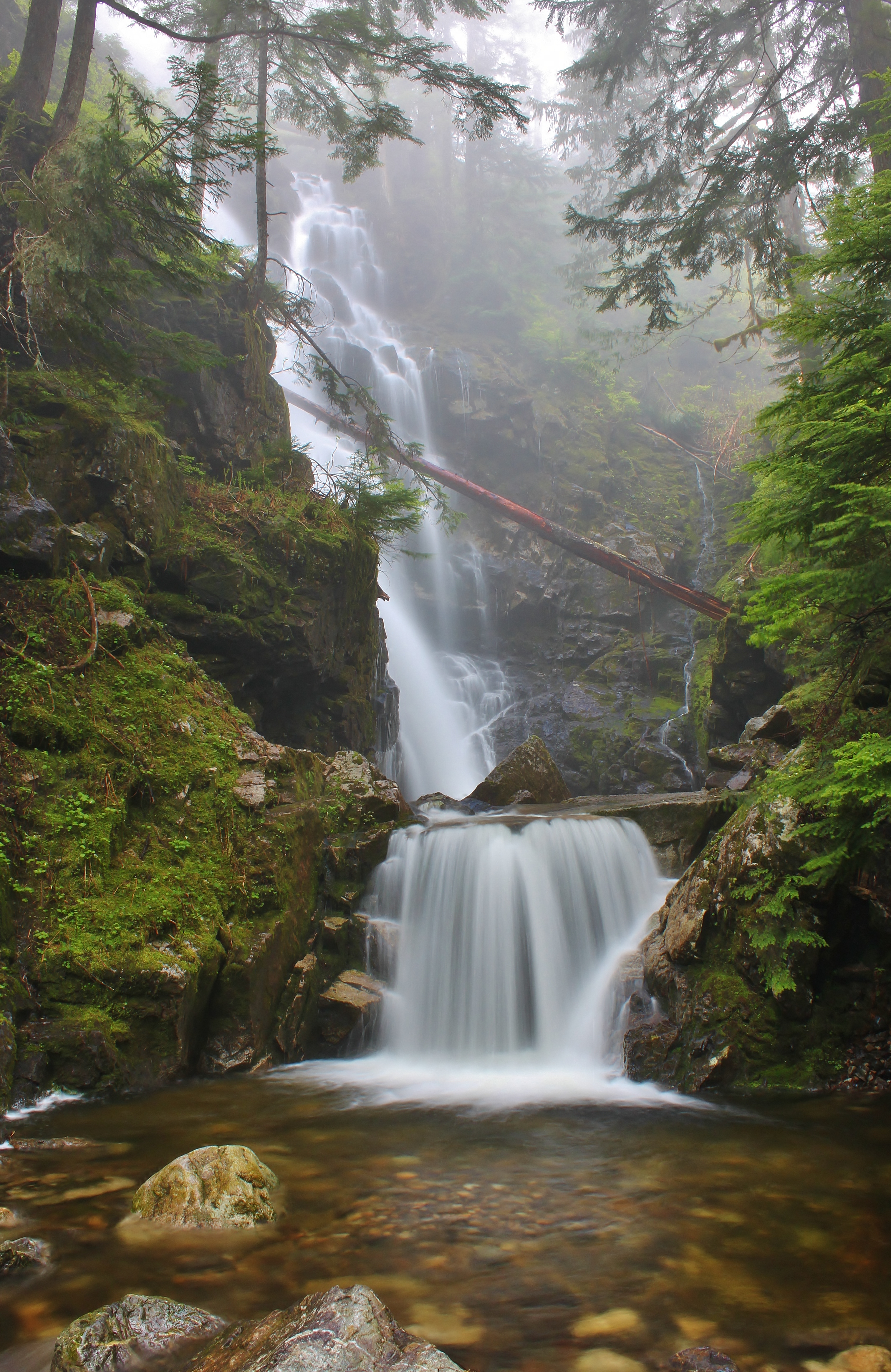
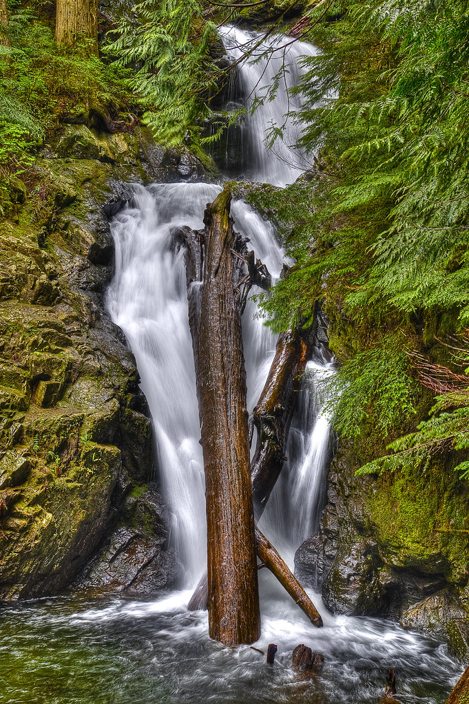
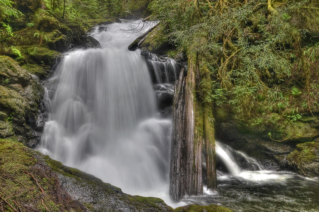
Hadley Falls
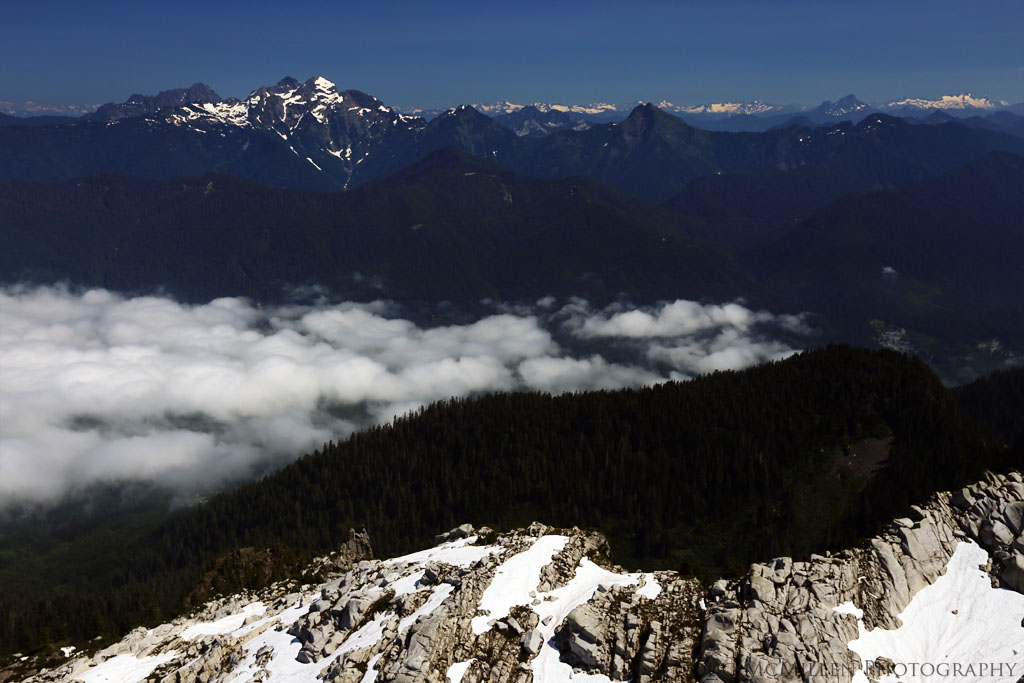
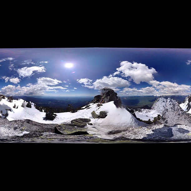
Sunrise from the summit of Pilchuck
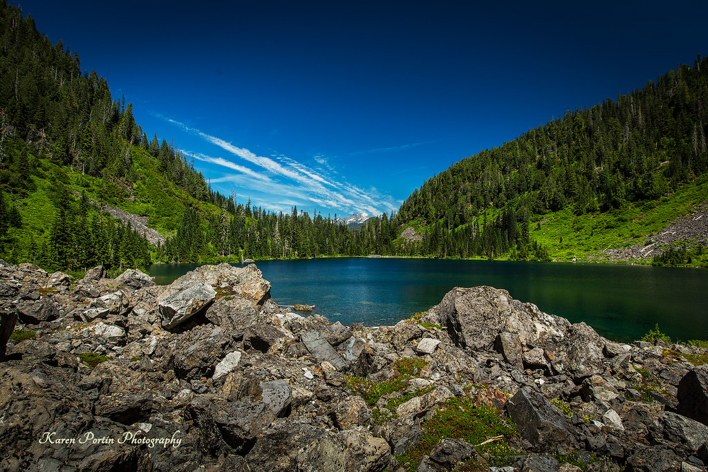
Lake 22
Sun Kissed
Mt. Pilchuck Weather
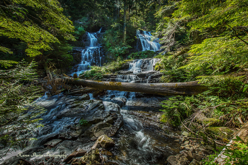
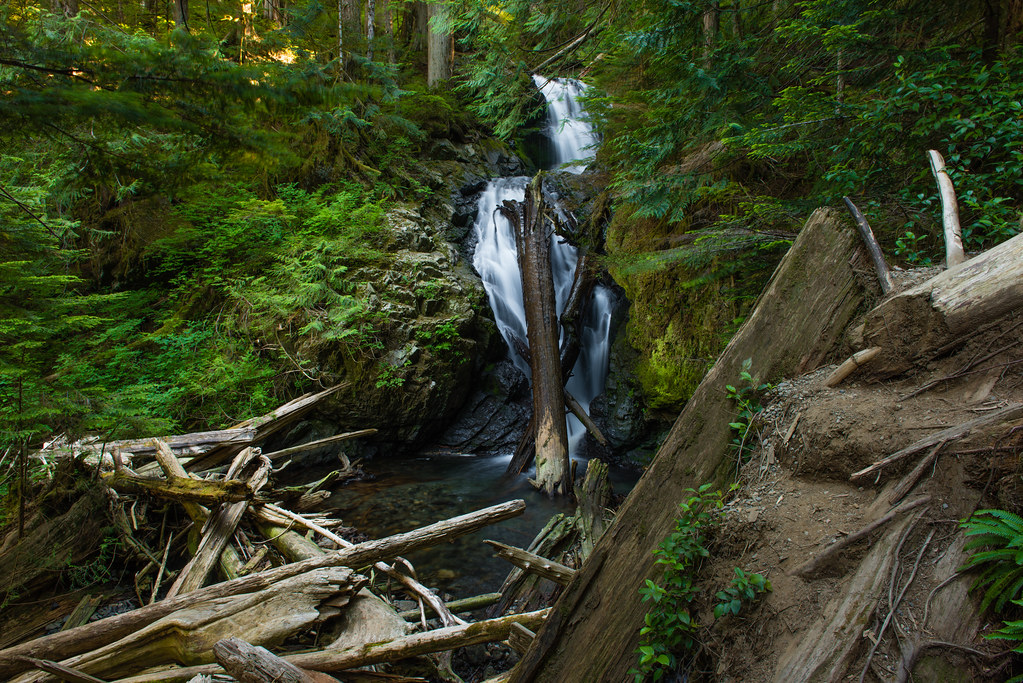
Lake 22 Creek Waterfalls
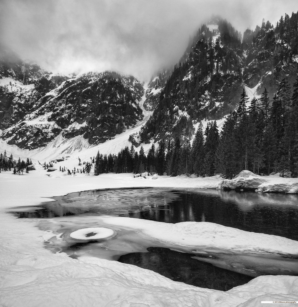
almost frozen [heather lake]

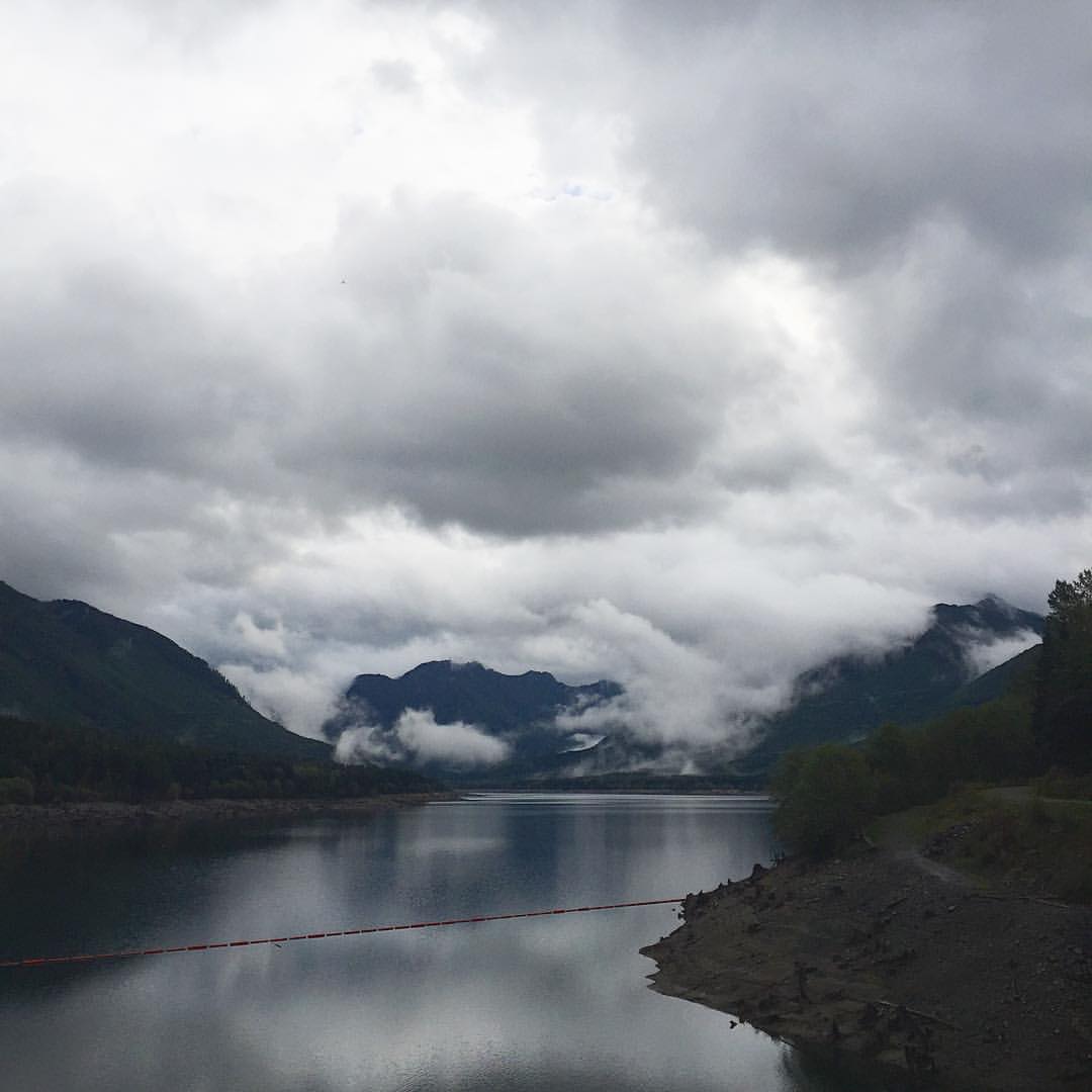
The river wild
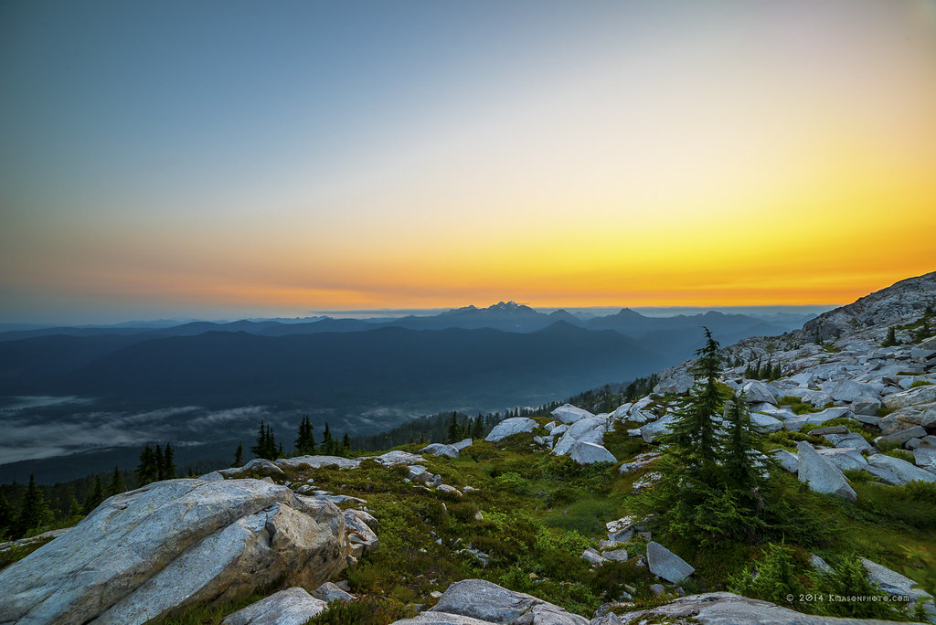
Three Fingers at sunrise
The Mountain
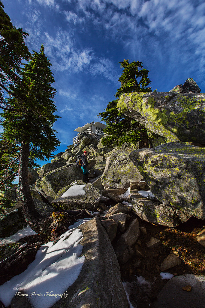
At Last! The Lookout!
Pret-tay, pret-tay, pretty cool views out here.
Cascade View
Bridge Over Lake 22 Creek

Roesinger awakens
Picture-Perfect Day
Heather Lake
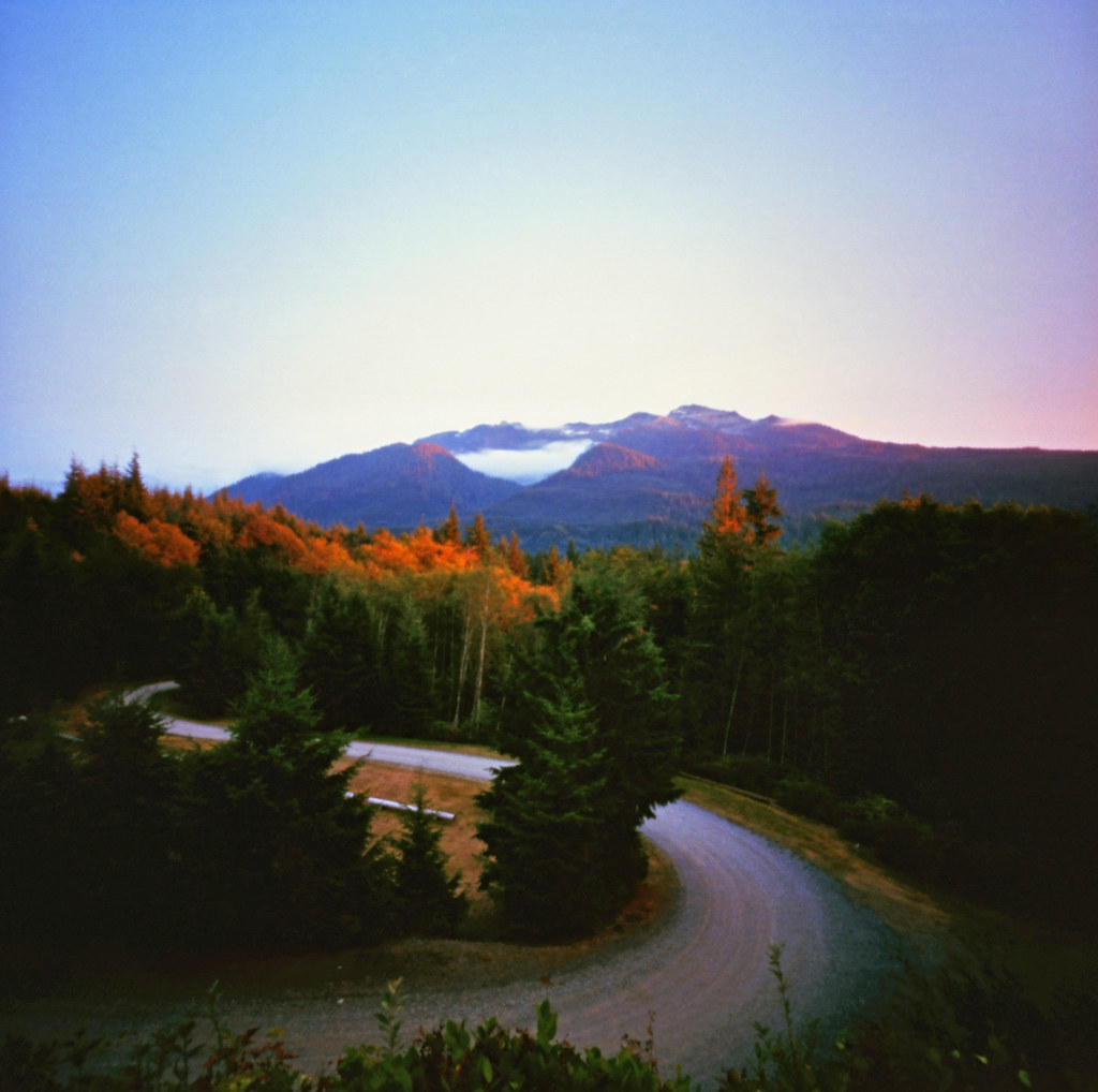
The Mountain Loop Highway
Heather Lake Reflections
Lake Twenty-two
Swamp Rock
Panoramic...damn square format

Granite Falls
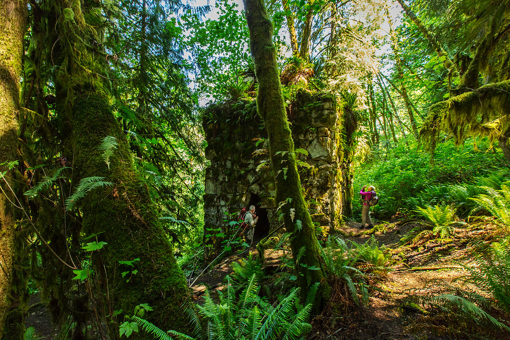
The Lime Kiln
Traveling Toward the Sun

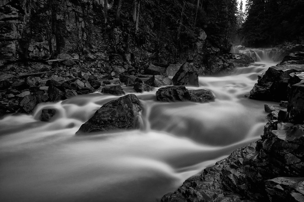
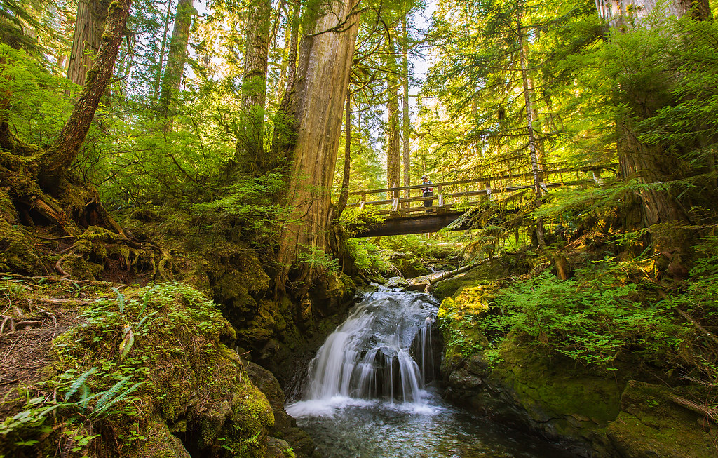
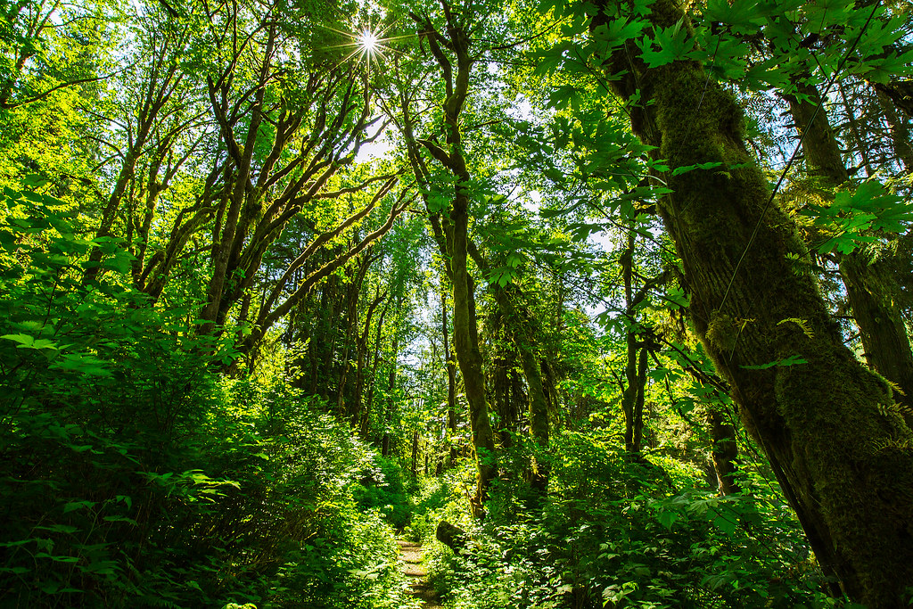
Forest Stream
Topographic Map of Snohomish County, WA, USA
Find elevation by address:

Places in Snohomish County, WA, USA:
Everett
Arlington
Snohomish
Marysville
Mukilteo
Lake Stevens
Lynnwood
Edmonds
Stanwood
Monroe
Gold Bar
Granite Falls
Brier
Sultan
Mill Creek
North Marysville
Maltby
North Creek
Mountlake Terrace
Tulalip
Tulalip Bay
Lochsloy
Alderwood Manor
Warm Beach
Three Lakes
Everett
Everett
Everett
Everett
Everett
Everett
Everett
Everett
West Lake Stevens
Arlington Heights
Martha Lake
Cathcart
High Rock
Wilmans Peaks East
Silvertip Peak
Foggy Peak
75th Pl W, Edmonds, WA, USA
Jim Creek Rd, Arlington, WA, USA
Halford
Startup
Culmback Dam
Machias
Smokey Point
Places near Snohomish County, WA, USA:
Mount Pilchuck
31611 Rivershore Ln
32522 Mountain Loop Hwy
310 S Lake Roesiger Rd
32815 Mountain Loop Hwy
Verlot Public Service Center
33914 Mountain Loop Hwy
33924 Mountain Loop Hwy
23311 36th St Ne
3321 Alyson Dr
2301 Robe Menzel Rd
22607 29th Pl Ne
7103 227th Ave Ne
22505 45th Place Notheast
21108 Pilchuck Pl
4310 203rd Ave Ne
20825 Menzel Lake Rd
23201 Alder Dr
5918 Robe Menzel Rd
22001 S River Dr
Recent Searches:
- Elevation of Corso Fratelli Cairoli, 35, Macerata MC, Italy
- Elevation of Tallevast Rd, Sarasota, FL, USA
- Elevation of 4th St E, Sonoma, CA, USA
- Elevation of Black Hollow Rd, Pennsdale, PA, USA
- Elevation of Oakland Ave, Williamsport, PA, USA
- Elevation of Pedrógão Grande, Portugal
- Elevation of Klee Dr, Martinsburg, WV, USA
- Elevation of Via Roma, Pieranica CR, Italy
- Elevation of Tavkvetili Mountain, Georgia
- Elevation of Hartfords Bluff Cir, Mt Pleasant, SC, USA