Elevation of North Marysville, WA, USA
Location: United States > Washington > Snohomish County >

Longitude: -122.14874

Latitude: 48.099265

Elevation: 25m / 82feet

Barometric Pressure: 101KPa

Elevation Map:

elevation map of North Marysville, WA, USA
Satellite Map:

Satellite map of North Marysville, WA, USA

Related Photos:

blue portrait feet me yellow wall self rachel shoes hole legs turquoise jeans half through halfway day183 365days futab phlow:status=away
183: halfway in
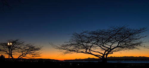
sunset nikon pacificnorthwest nik bluehour washingtonstate pnw everett cherrytrees snohomishcounty d610 northwestwashington december31st portgardner grandavenuepark nikon1635mmf4vr ryderphotographic howardryder
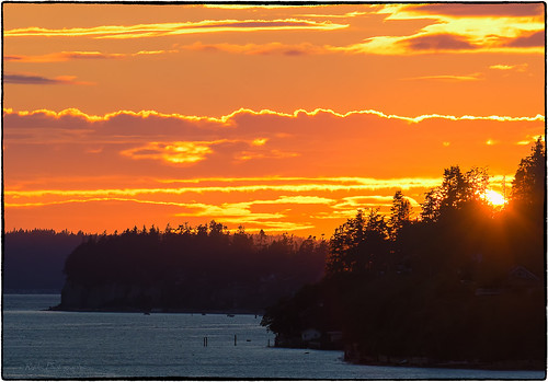
Sunset #365
red truck vivid explore ppg diamondt flatbed slowride colorphotoaward colourartawards pentaxphotogallery putintoartlegacy
Diamond T Flatbed ( Explored ).
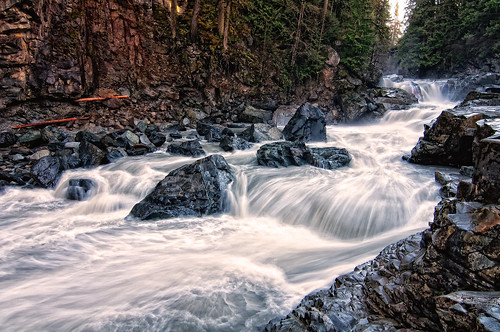
wild water creek river waterfall washington rocks stream falls rapids granite granitefalls
The river wild
square squareformat iphoneography instagramapp uploaded:by=instagram foursquare:venue=4289089
Lake View
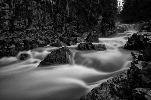
bw water creek river waterfall washington stream granite granitefalls
Granite in Gray
from bridge sea usa beach water clouds train river puente bay us washington sand iron waterfront unitedstates state pacific northwest bur cloudy overcast ponte most amtrak cascades sound pont wa bro brug brücke puget everett brig köprü viewed snohomish casades bouwwerk überführung flickrstruereflection1 ilobsterit
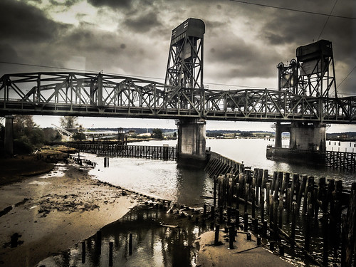
Snohomish River Bridge viewed from Amtrak Cascades Train in Washington State
flowers flower stars washington fuchsia fuchsias olympusc765uz fineartphotos excapture
Fuchsia Stars.
wood old morning travel blue light wild summer sky sun white mist plant cold color reflection tree nature water beautiful beauty sunshine weather misty fog forest sunrise river dark landscape dawn mirror countryside early spring scenery view natural foggy scenic calm spooky foliage environment wilderness tranquil eery borderfx
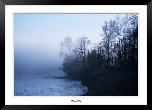
Misty Stilly
geotagged geodir2272 geolat480998333333333 geolon122191666666667
LV1293DSC00676.JPG
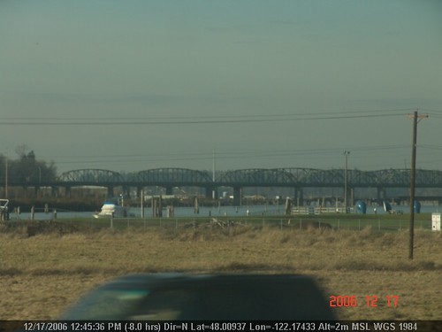
from bridge sea usa beach water clouds train river puente bay us washington sand iron waterfront unitedstates state pacific northwest bur cloudy overcast ponte most amtrak cascades sound pont wa bro brug brücke puget everett brig köprü viewed snohomish casades bouwwerk überführung ilobsterit
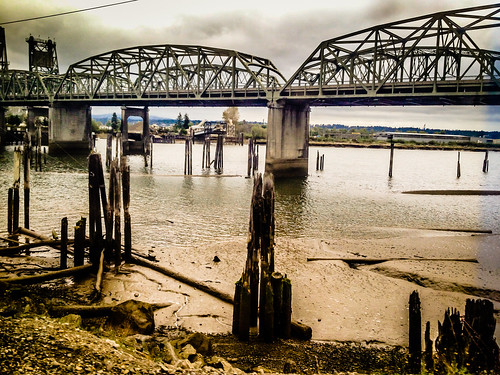
Snohomish River Bridge viewed from Amtrak Cascades Train in Washington State
geotagged geolon122184166666667 geodir3594 geolat480863333333333
LV1286DSC00669.JPG
Morning Time
usa everett wasington 2007 possessionsound nikond80 colorphotoaward swortz
Possession Sound Sunset
square lofi squareformat iphoneography instagramapp uploaded:by=instagram foursquare:venue=4b9adc5af964a5200edd35e3
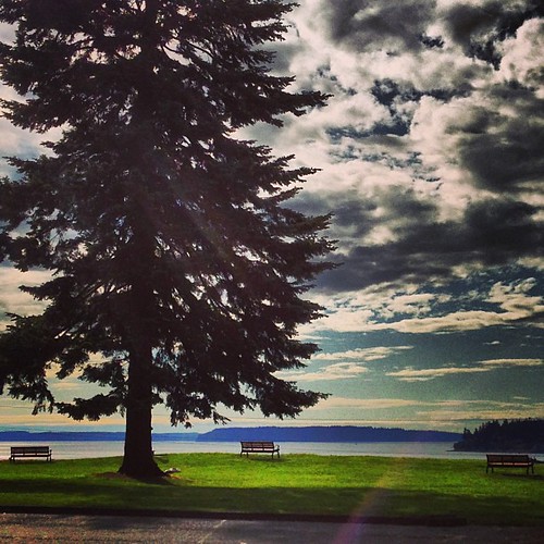
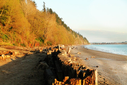
Lots of people at the playground today. Strangely, not a lot of people enjoying the view.
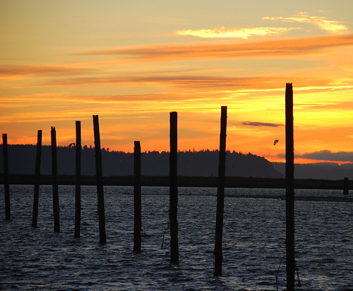
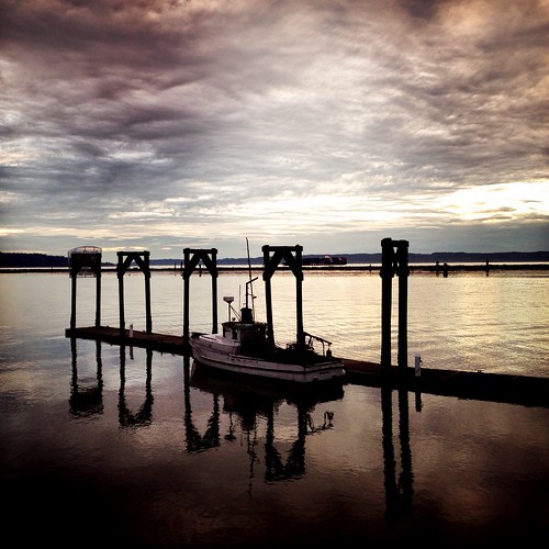
Nothing but the Pilings
uploaded:by=flickrmobile flickriosapp:filter=nofilter
Dog's Eye View.
View from Gazebo
geotagged geodir3505 geolat48169 geolon122191333333333
LV1312DSC00695.JPG
geotagged geolat480093333333333 geolon122174333333333 geodir3566
LV1271DSC00654.JPG
usa mountain lake tree nature washington state cassidy evergreen cascades wa
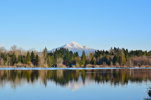
Lake Cassidy WA
morning horses field fog landscape washington scenery farm foggy pacificnorthwest canon135mmf2lusm canoneos5dmarkiii
Fogged In Horses
reflections snohomishcounty unionslough birdbrush spencerislandpark
Union Slough
In for the Night
blue water pier washington day unitedstates clear everett
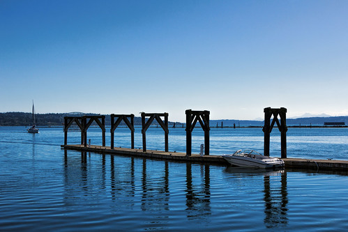
Boat at the Port
water river waterfall washington rocks stream falls granitefalls
Granite Falls
trees writer limekiln snohomishcounty limekilntrail karensykes robecanyonhistoricalpark
The Lime Kiln
Frozen Fog
reflections snags tidepool snohomishcounty photoshopcurves spencerislandpark
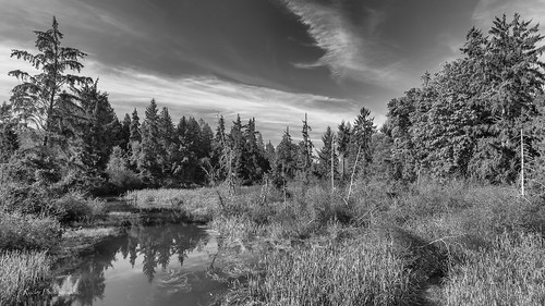
Tide Pool
county river washington union wa slough marysville everett snohomish sking5000
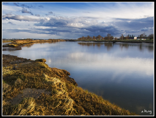
Union Sough, Everett
sunset bw weather clouds landscape nikon scenery nik tamron hdr wx snohomishcounty d610 lakestevens lakecassidy silverefex ryderphotographic howardryder tamronsp7002000mmf28divcusd
Angry cloud
trees trail sunstar snohomishcounty limekilntrail robecanyonhistoricalpark
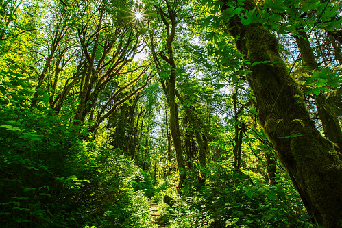
Traveling Toward the Sun
reflection nature water clouds landscape day cloudy ngc calm hdr naturesfinest photomatix stillaguamishriver supershot coth5
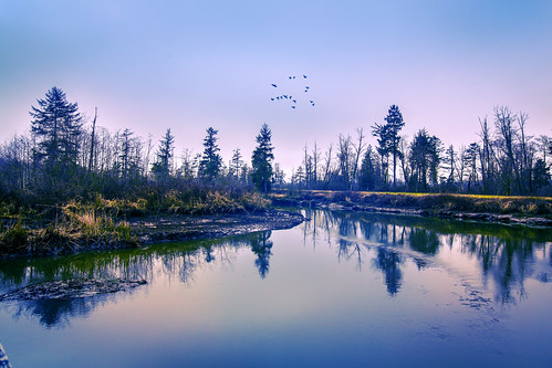
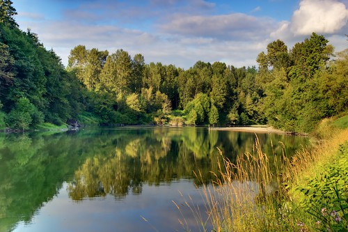
Calm Stilly
bw landscape nikon pacificnorthwest pugetsound washingtonstate tulalip d610 tonemapped quilcedacreek tidewaters nikon1635mmf4vr ryderphotographic howardryder
Quilceda Creek at high tide
square squareformat iphoneography instagramapp uploaded:by=instagram foursquare:venue=4e2cc48d8877b69d49ee981f webfeatured500
Big ol caves.
sky shells color beach water landscape wideangle waterscape tulalip supershot coth5
Shells on the Shore
sunset nikon sunsetglow pacificnorthwest nik pilings bluehour lowtide washingtonstate everett snohomishcounty d610 portofeverett portgardner nikon1635mmf4vr ryderphotographic howardryder
Blue (Explored, thank you all!)
sunset summer landscape nikon pacificnorthwest pugetsound washingtonstate everett eveningglow snohomishcounty d610 afsvrzoomnikkor200400mmf4gifed ryderphotographic howardryder
Priest Point and Mission Beach
sunset sky weather landscape washington nikon scenery scenic pacificnorthwest washingtonstate snohomishcounty d610 lakestevens lakecassidy
Sunset over Lake Cassidy
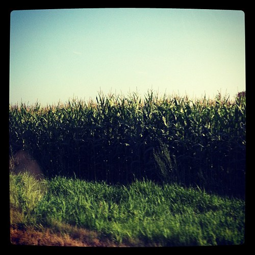
square squareformat iphoneography instagramapp xproii uploaded:by=instagram foursquare:venue=4e594da7aeb7d78d9f759027
Passed a lot of these today to go see family. #corn #snohomishcounty
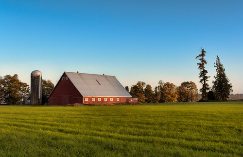
autumn trees sky color fall grass arlington barn rural washington warm day unitedstates clear fieldblue
Fall Barn
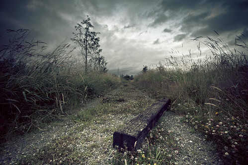
sky storm mystery clouds canon dark landscape foreboding gothic dream lee nd mystical stormclouds darksky lightroom ndfilter 1740mmf40l dreamscene 10stop leefilters 10stopnd 5dmk2 bigstopper leebigstopper travislawton travislawtonphotography
I Just Don't Know