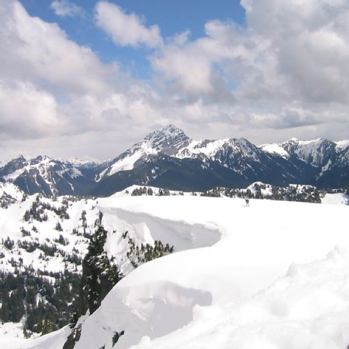
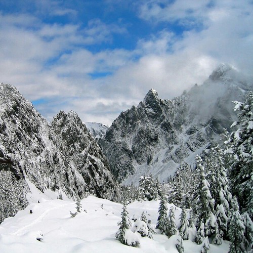
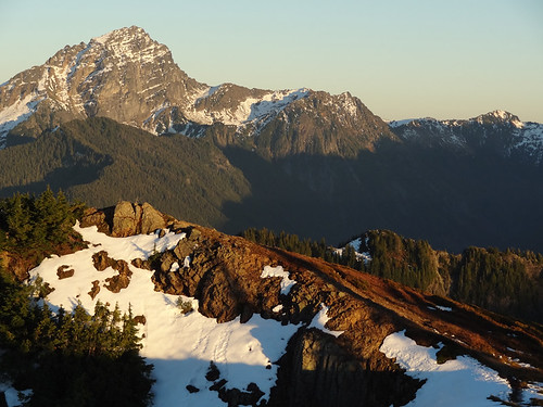
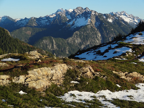
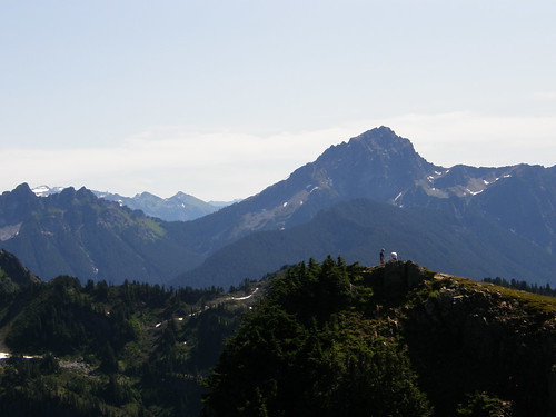
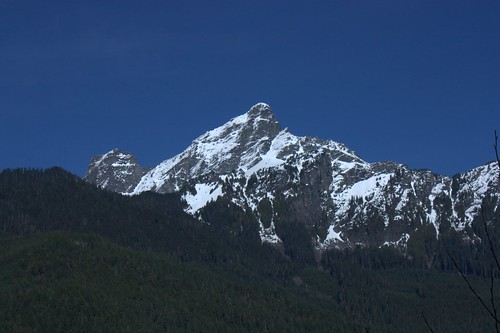
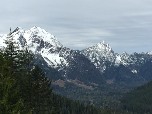
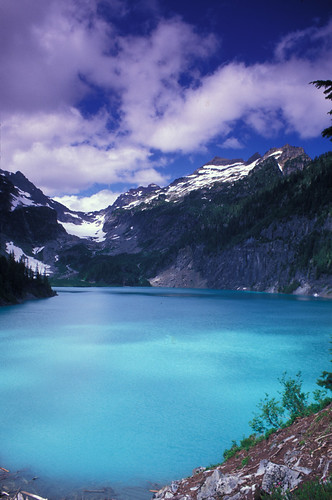
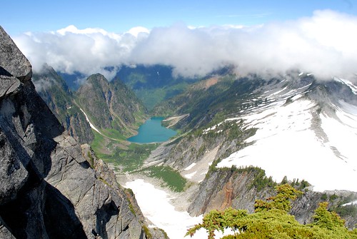
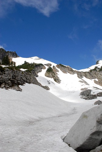
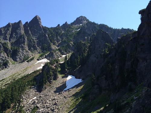
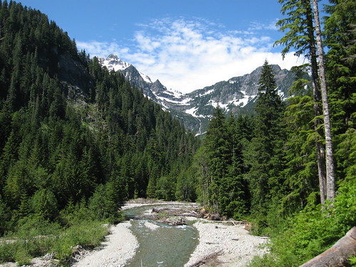
Elevation of Foggy Peak, Washington, USA
Location: United States > Washington > Snohomish County >
Longitude: -121.36594
Latitude: 47.9978851
Elevation: 1929m / 6329feet
Barometric Pressure: 80KPa
Related Photos:
Topographic Map of Foggy Peak, Washington, USA
Find elevation by address:

Places near Foggy Peak, Washington, USA:
Wilmans Peaks East
Columbia Peak
Kyes Peak
Sloan Peak
Silvertip Peak
Bedal Peak
Hubbart Peak
Twin Peaks East
Troublesome Creek Campground
59624 Index-galena Rd
Mount Dickerman
Mount Forgotten
Red Mountain
Spire Mountain
Big Four Mountain
Beaver Creek Group Camp
Evergreen Mountain
Gunn Peak
Fortune Mountain
White Chuck Mountain
Recent Searches:
- Elevation of Corso Fratelli Cairoli, 35, Macerata MC, Italy
- Elevation of Tallevast Rd, Sarasota, FL, USA
- Elevation of 4th St E, Sonoma, CA, USA
- Elevation of Black Hollow Rd, Pennsdale, PA, USA
- Elevation of Oakland Ave, Williamsport, PA, USA
- Elevation of Pedrógão Grande, Portugal
- Elevation of Klee Dr, Martinsburg, WV, USA
- Elevation of Via Roma, Pieranica CR, Italy
- Elevation of Tavkvetili Mountain, Georgia
- Elevation of Hartfords Bluff Cir, Mt Pleasant, SC, USA
