Elevation of 36th St NE, Granite Falls, WA, USA
Location: United States > Washington > Snohomish County > Granite Falls >
Longitude: -121.91717
Latitude: 48.0306898
Elevation: 166m / 545feet
Barometric Pressure: 99KPa
Elevation Map:
Satellite Map:
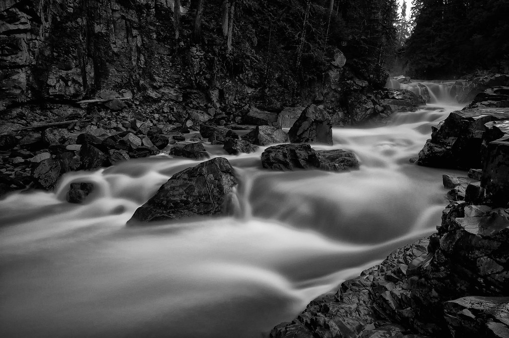
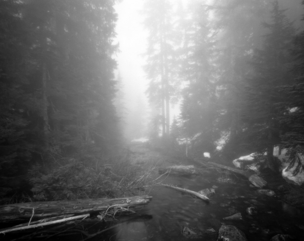
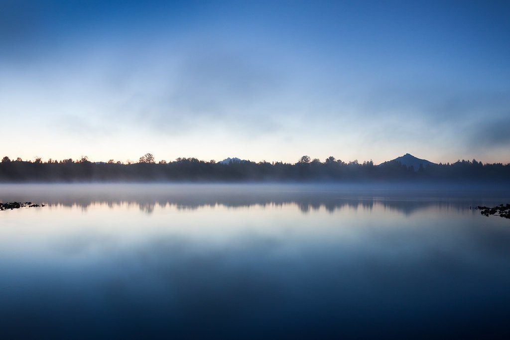
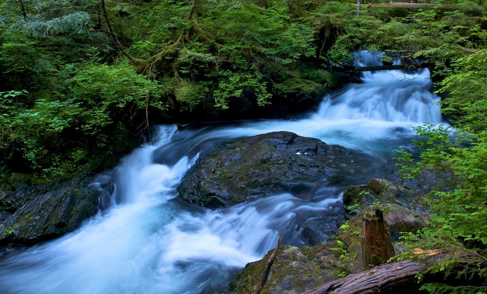
Related Photos:
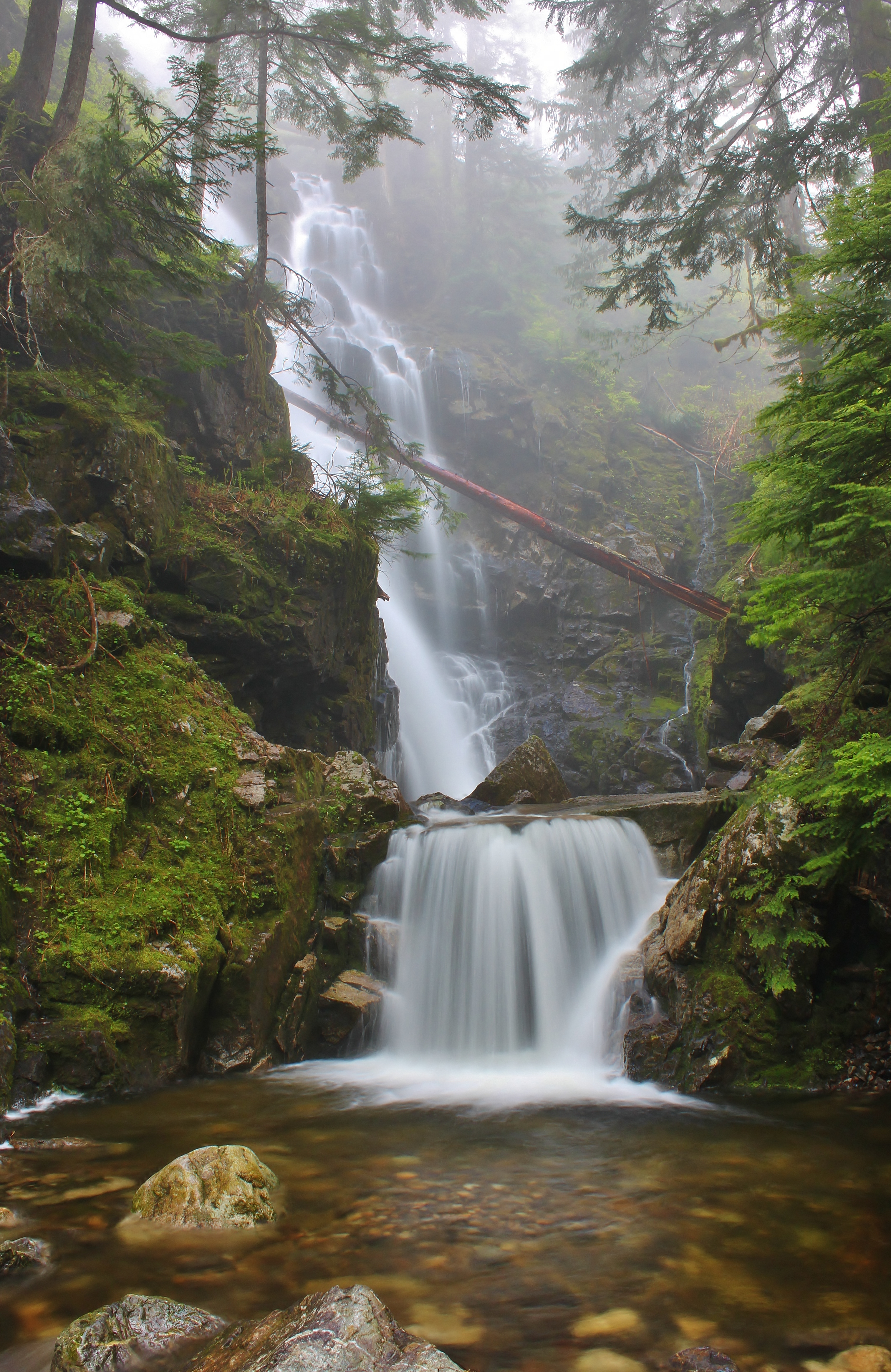
Hadley Falls

Pilchuck's Alpenglow
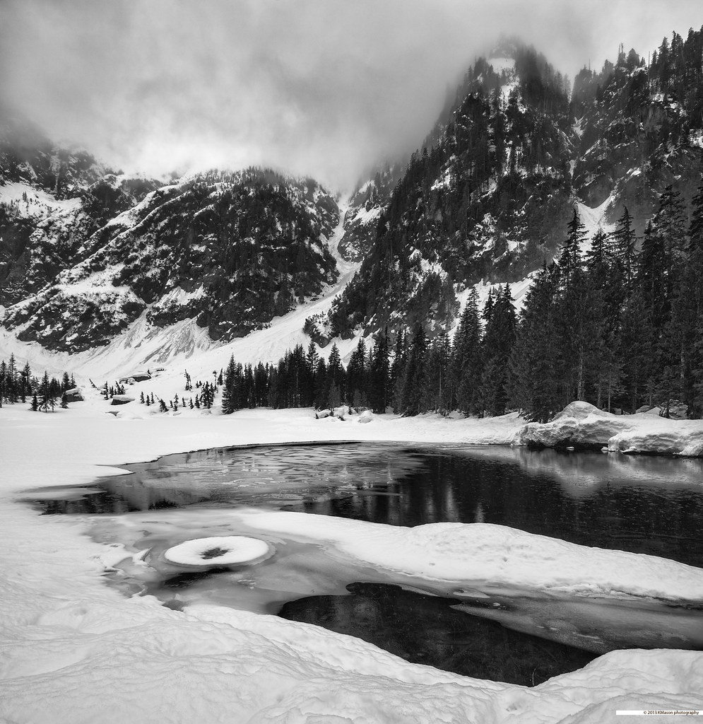
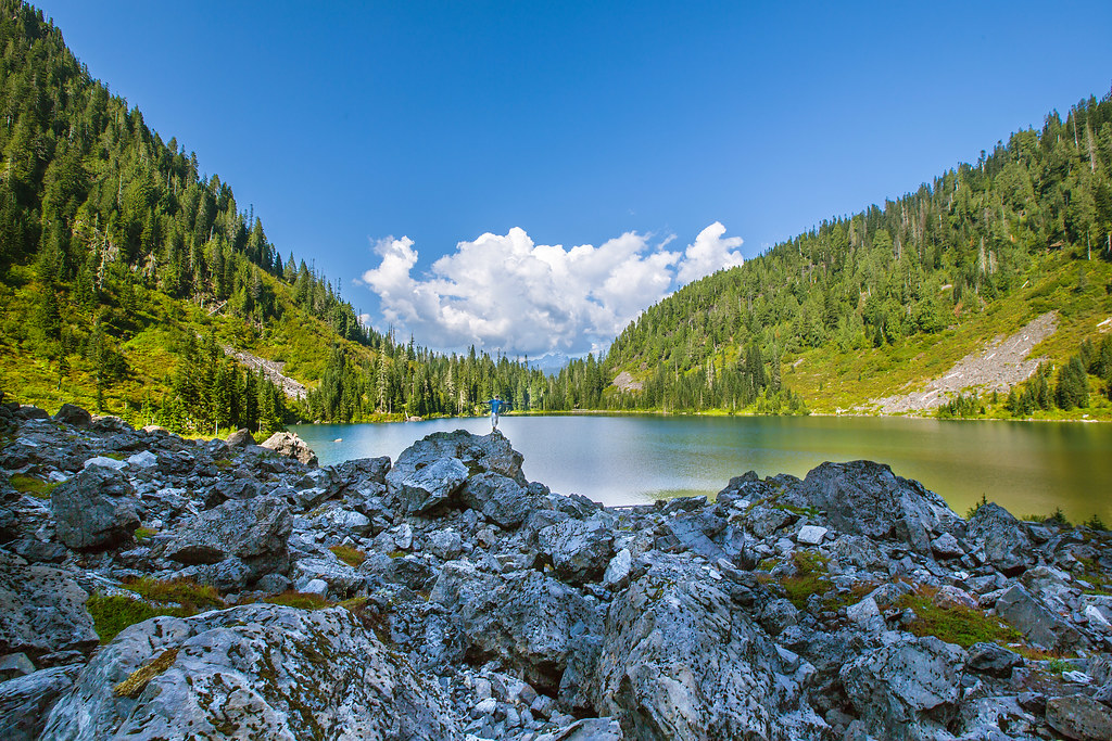
almost frozen [heather lake]
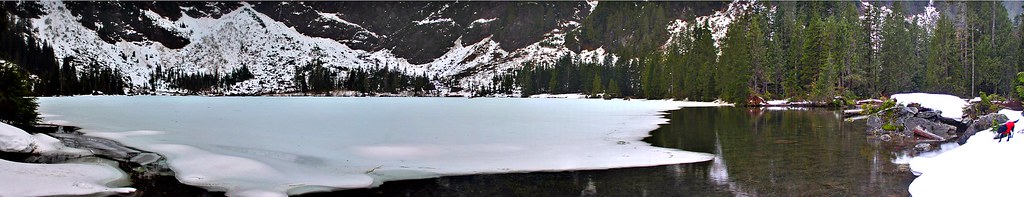
Panoramic view
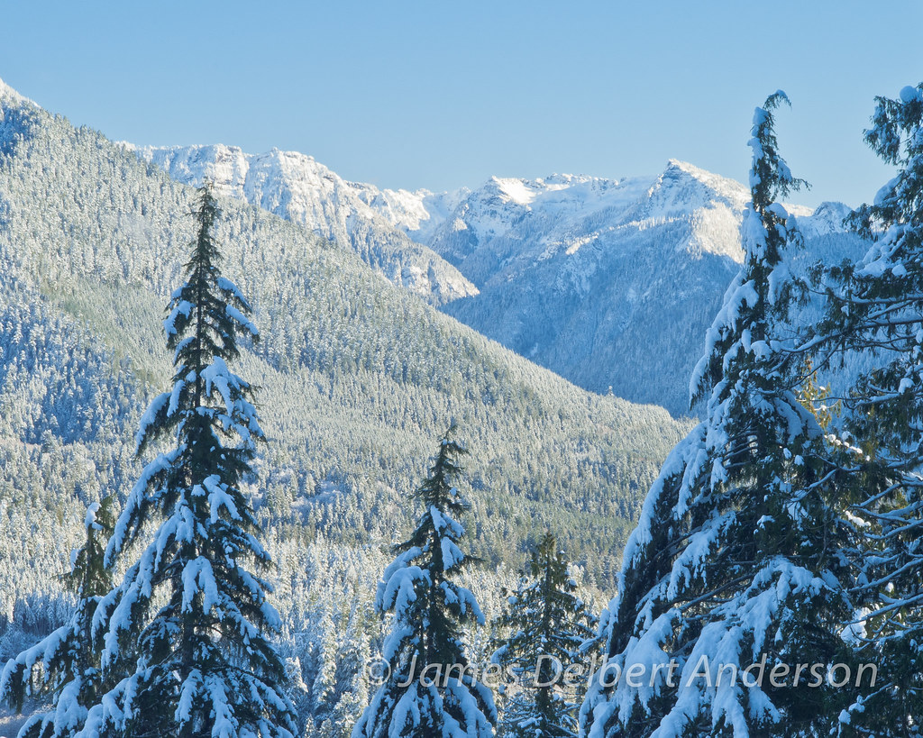
Snowy View II
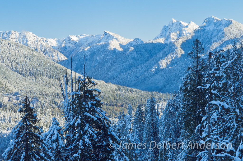
Snowy View I
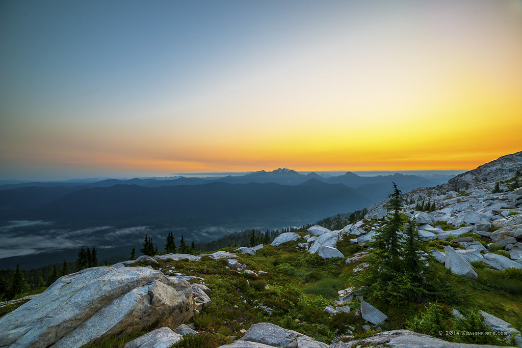
Three Fingers at sunrise
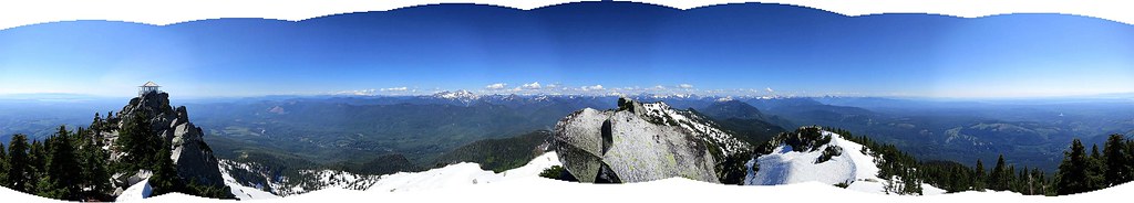
Panoramic view
Lake 22
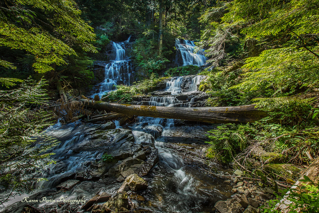
Lake 22 Creek Waterfalls
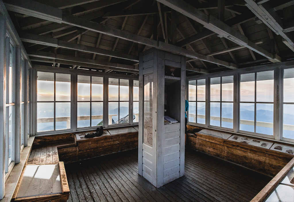
lookout view
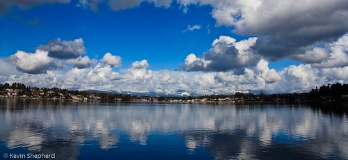
View of Lake Stevens
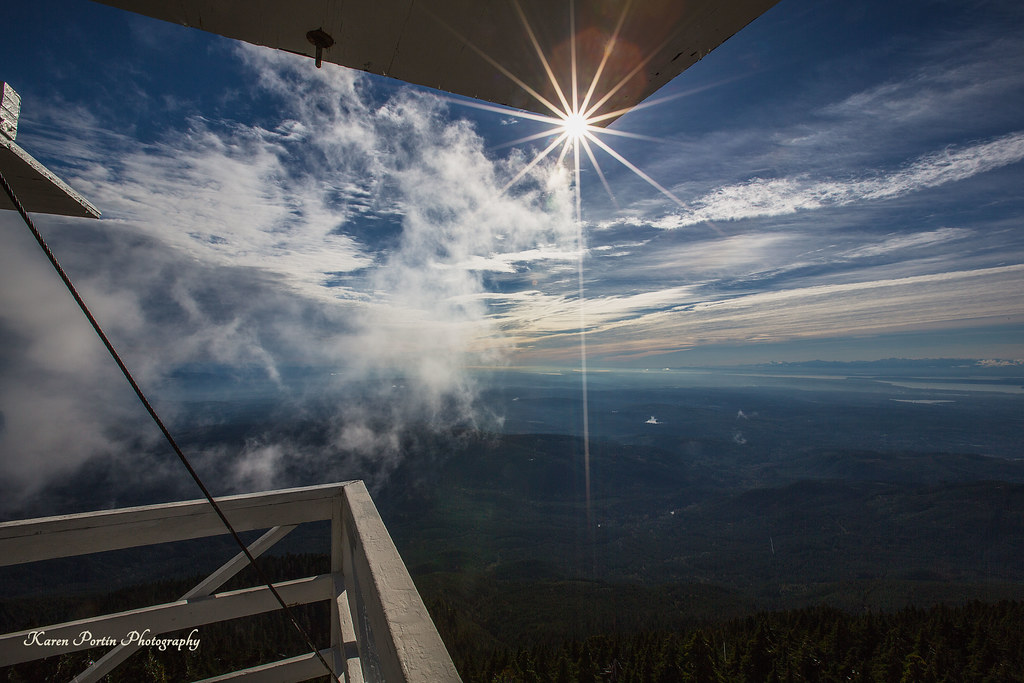
Sun Kissed

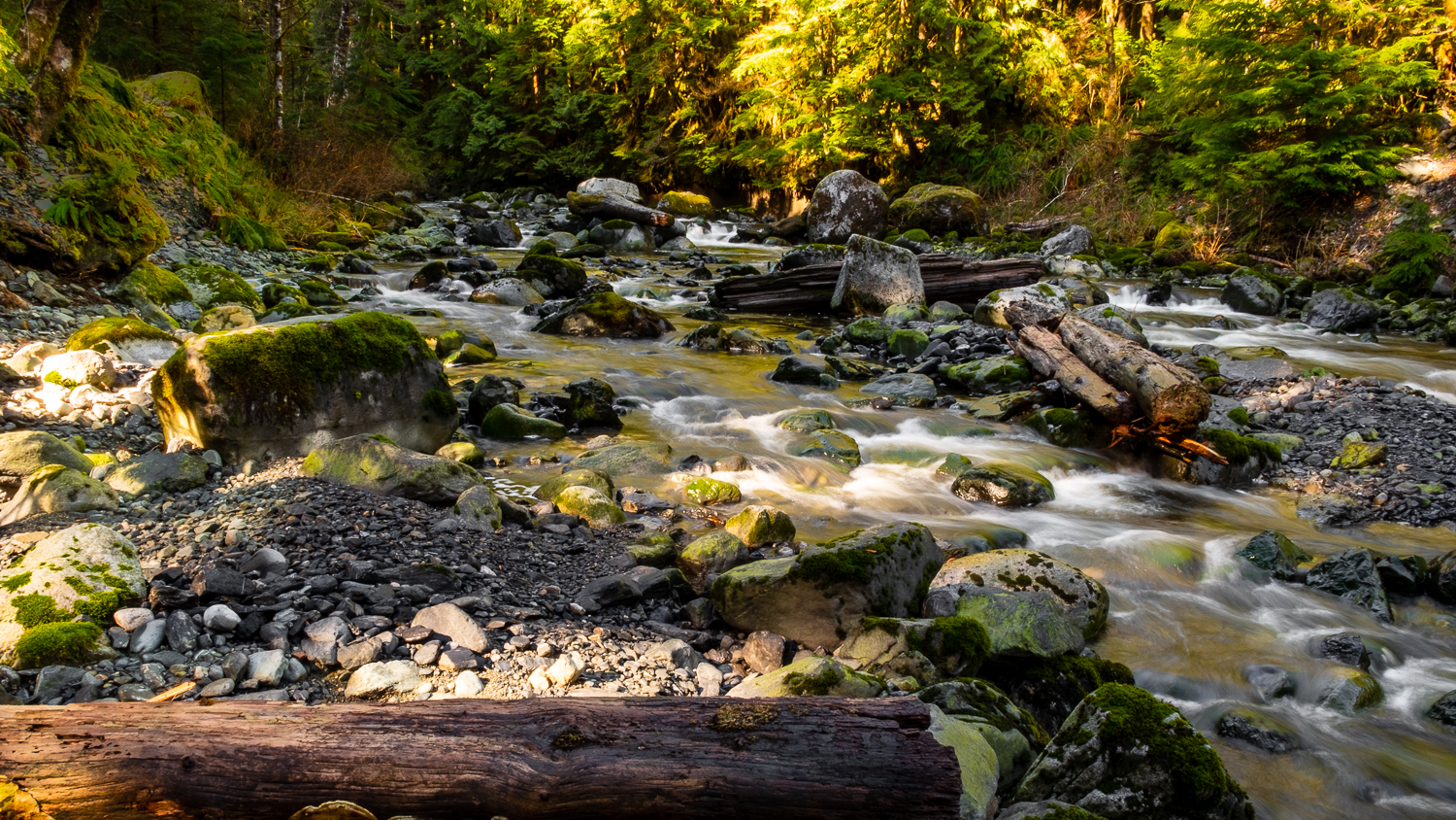
The river wild
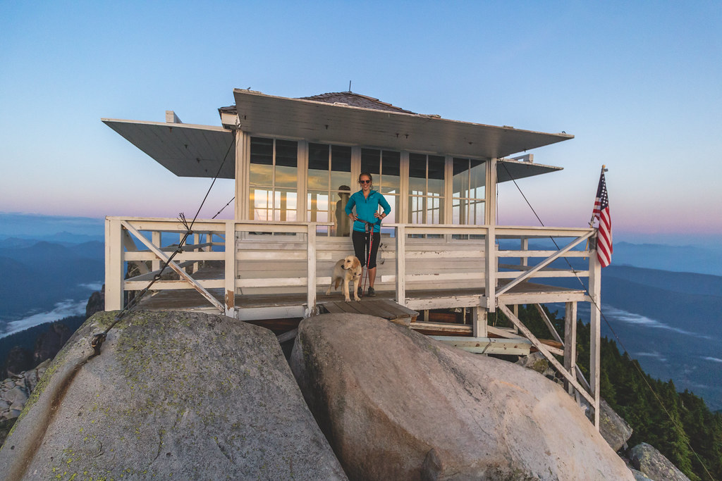
small lookout - big view
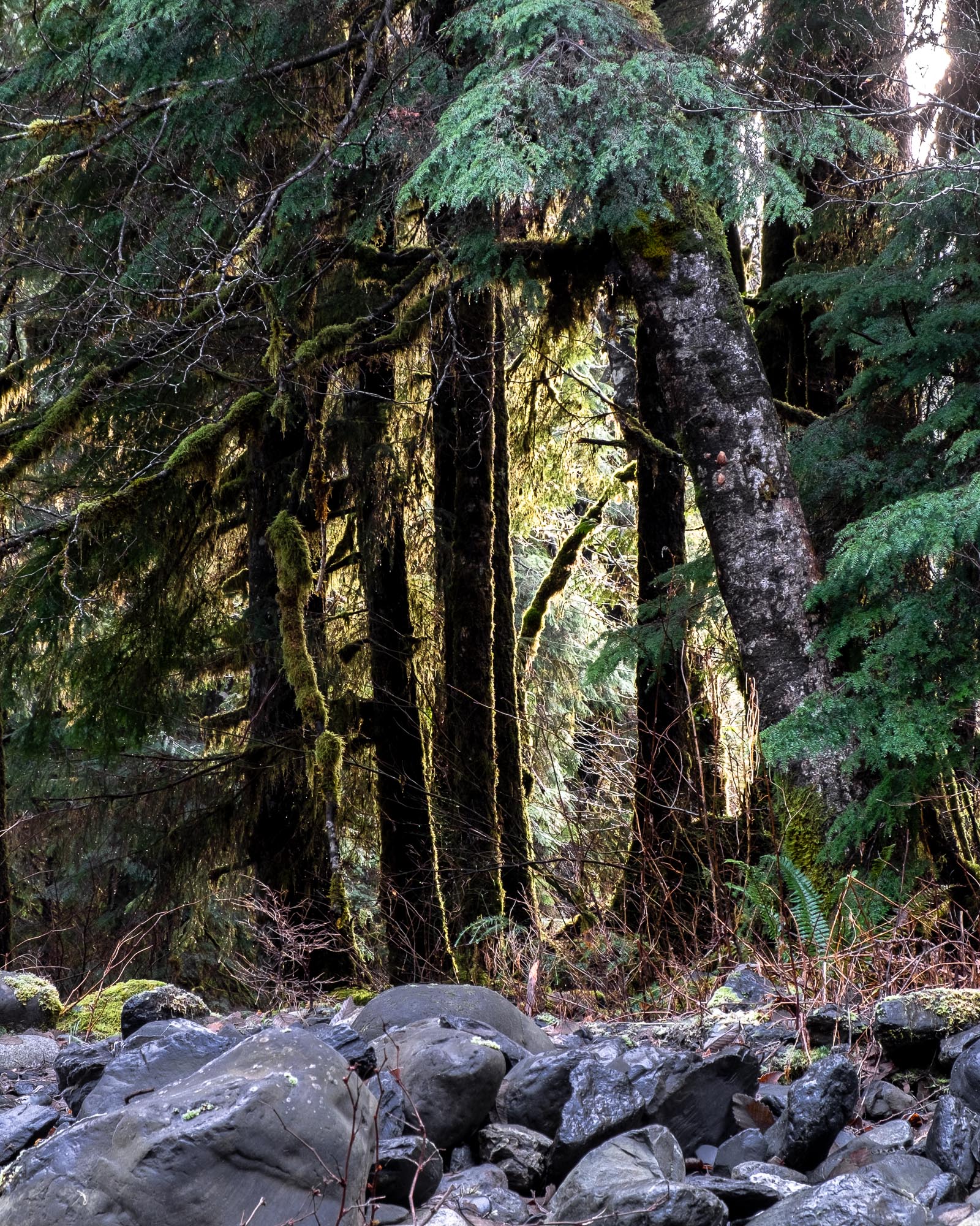
Forest View
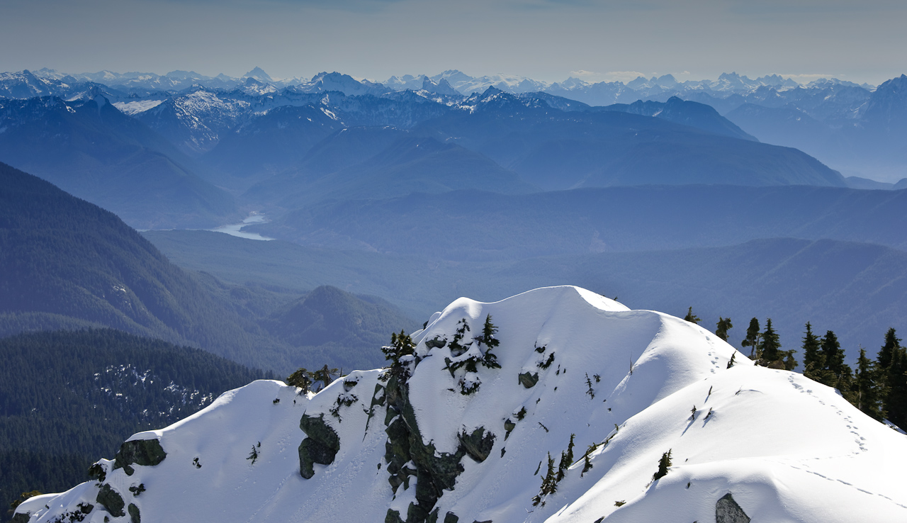
Cascade View
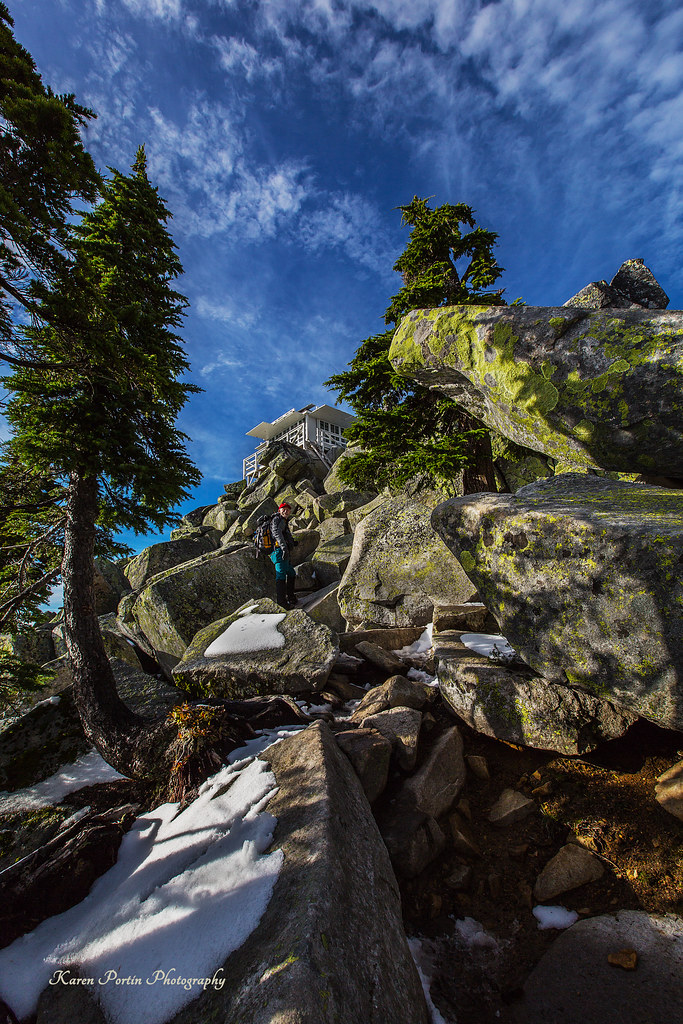
At Last! The Lookout!

Mossy Wet Goodness
Granite in Gray
TwentyTwo Creek On A Cloudy June Morning
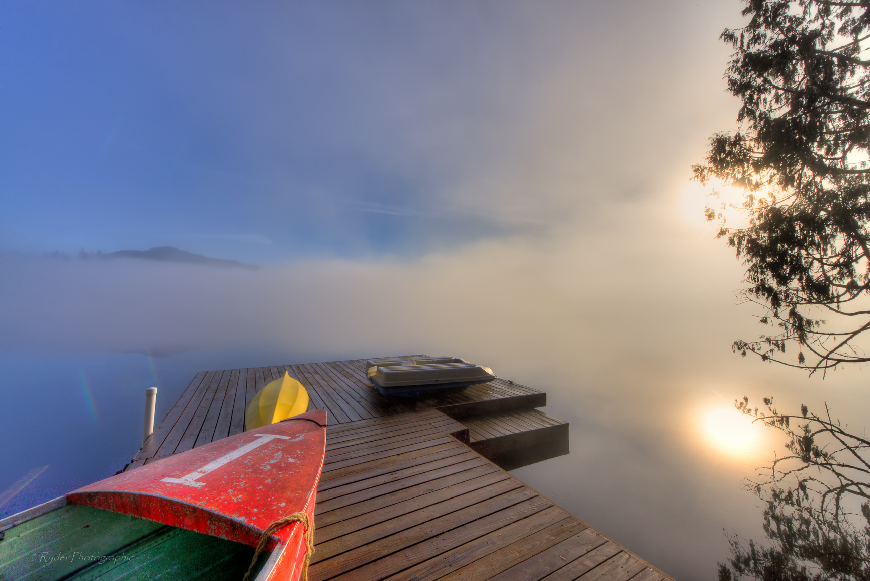
Nature's Foggy Mirror
Lake 22 Trail
Frosty Winter Ripples
Black Creek

the entrance...
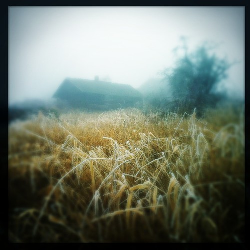
Frozen Fog
Roesinger awakens
Bridge Over Lake 22 Creek

First snow at sunrise
Watercolor photo

Morning Sun
Heather Lake
Morning Sun
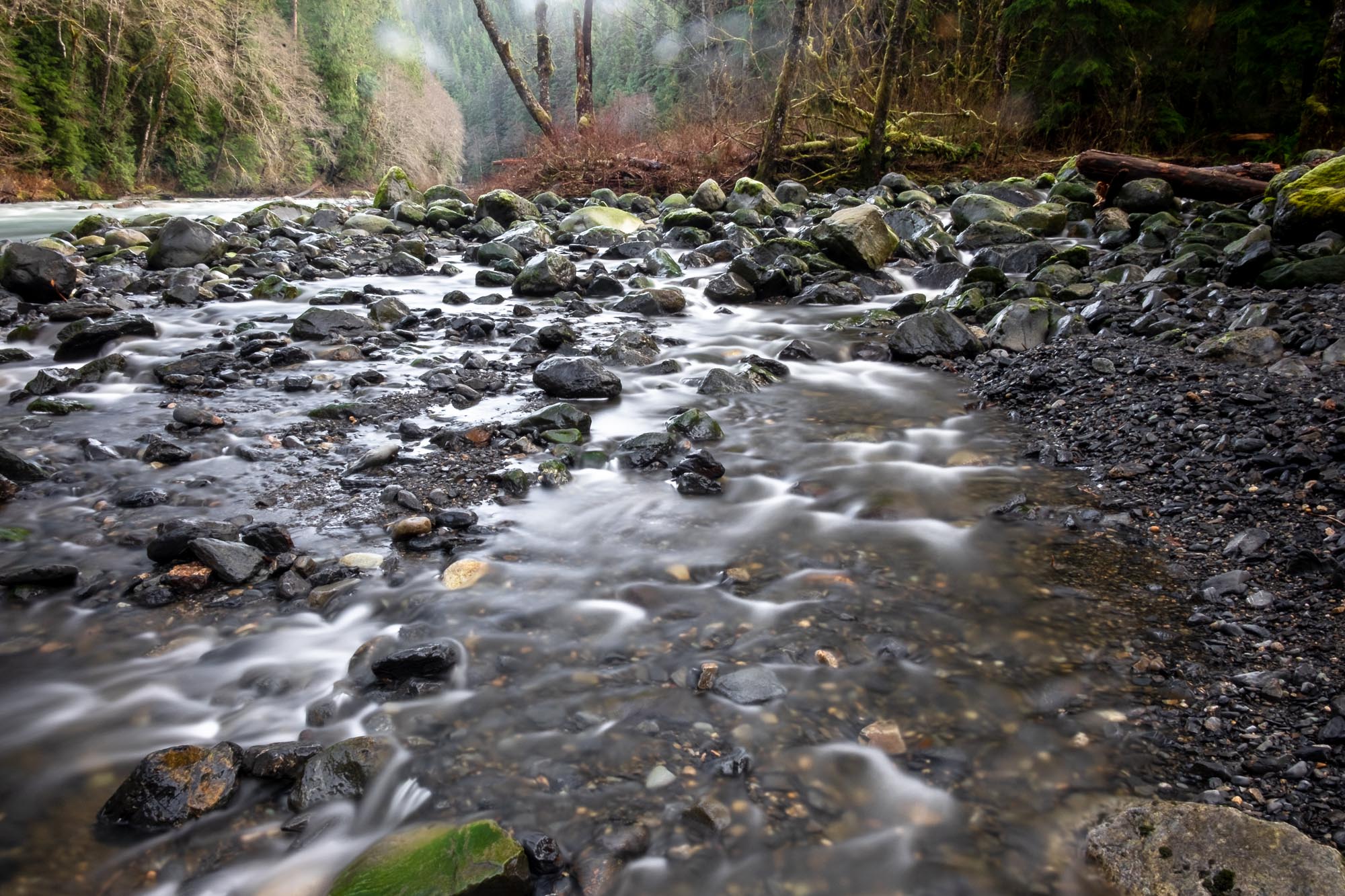
Black Creek empties into the Stillaguamish River
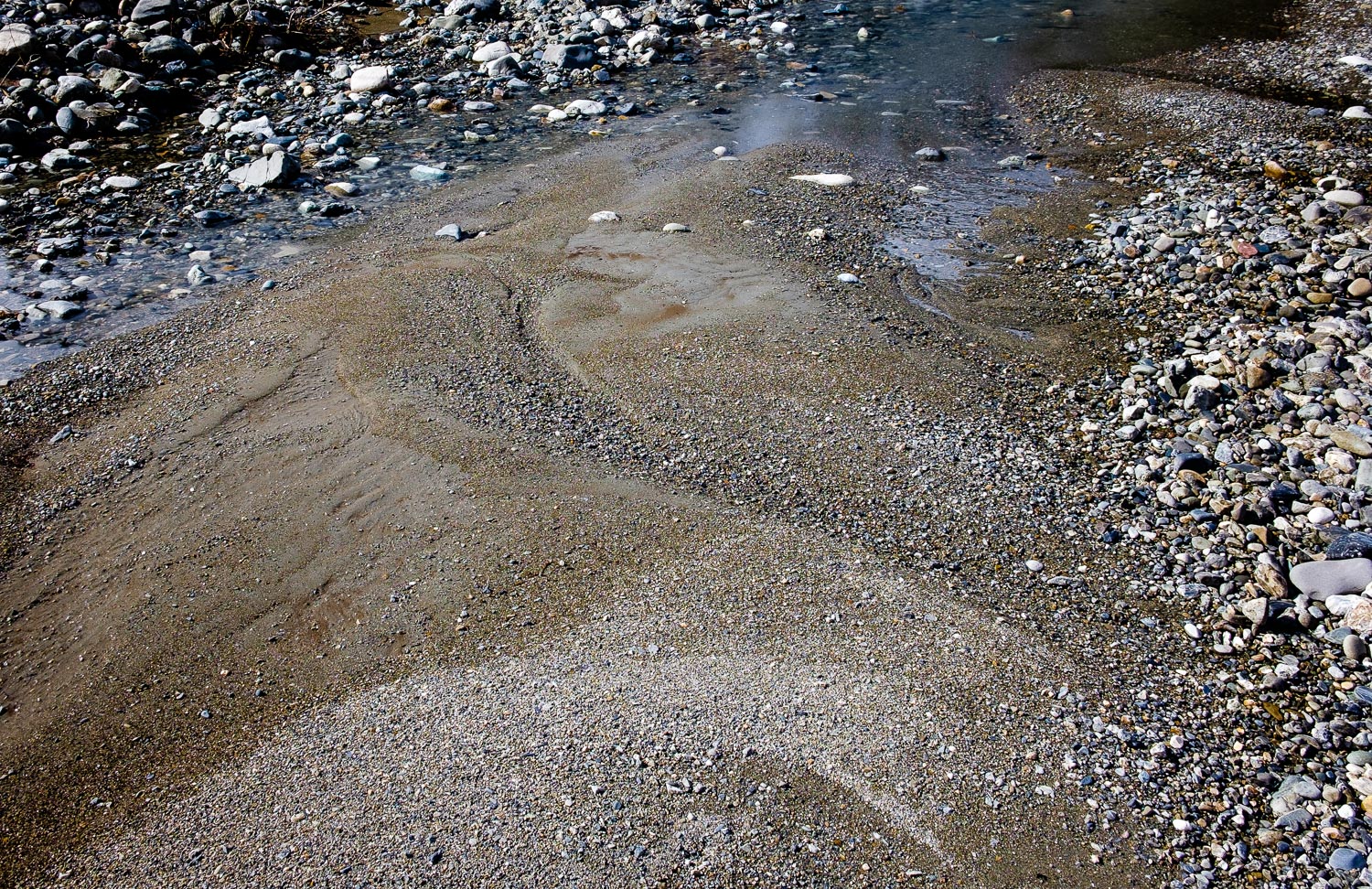
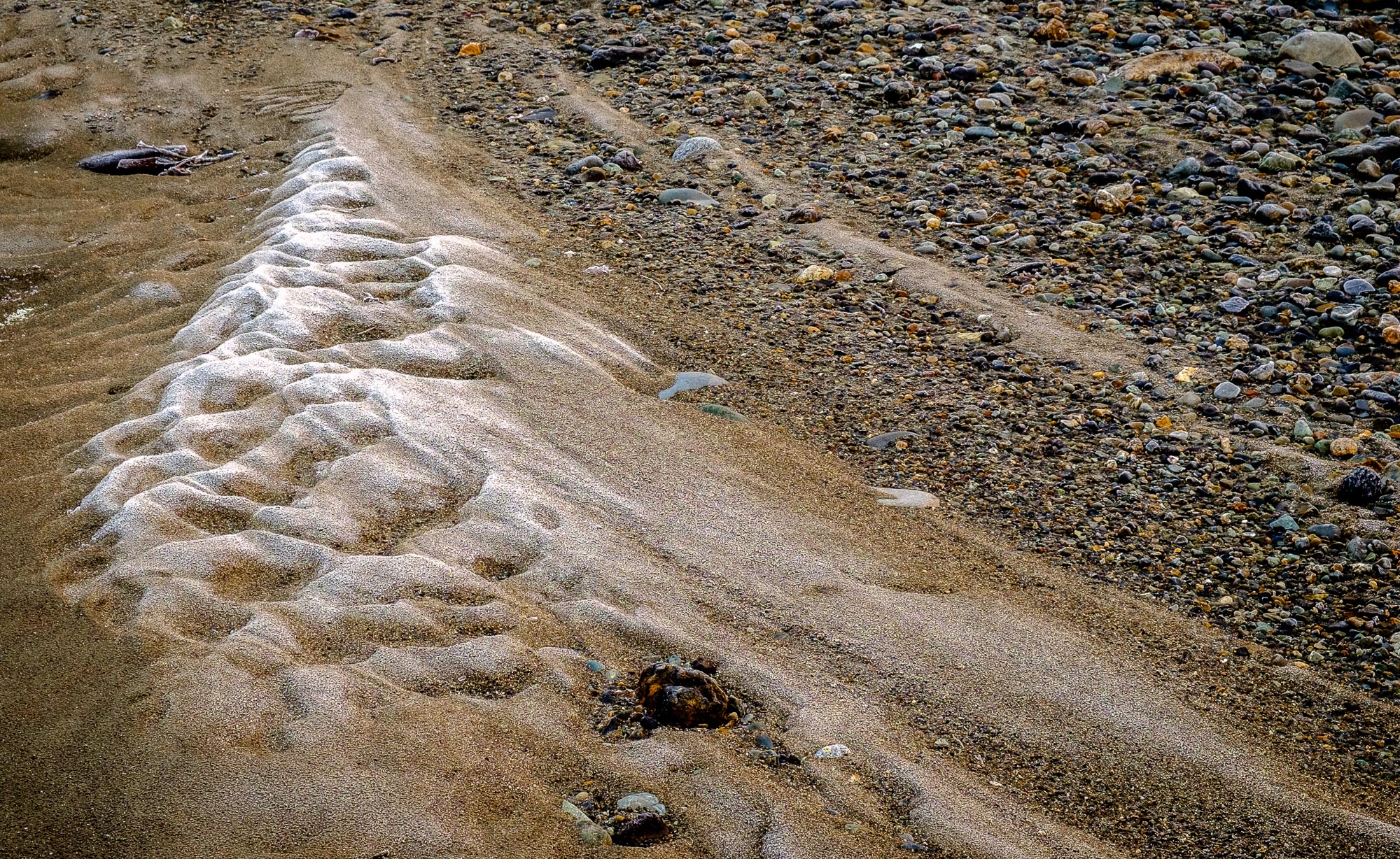
River Bank Pattern
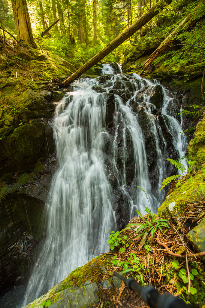
Lake 22 Creek Waterfall
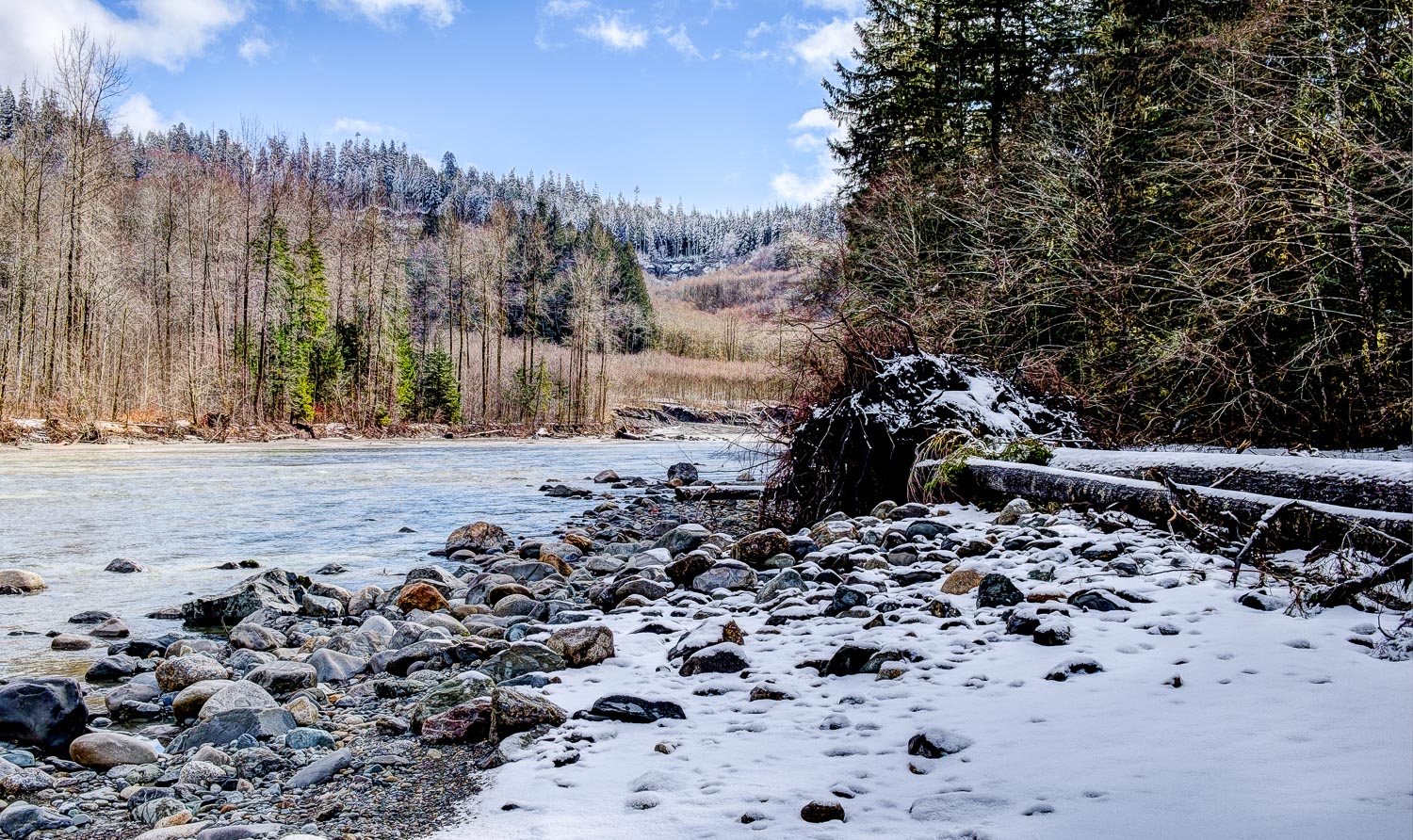
Stillaguamish River

Angry cloud
Picture-Perfect Day
Topographic Map of 36th St NE, Granite Falls, WA, USA
Find elevation by address:

Places near 36th St NE, Granite Falls, WA, USA:
3321 Alyson Dr
22607 29th Pl Ne
22505 45th Place Notheast
2301 Robe Menzel Rd
7103 227th Ave Ne
4310 203rd Ave Ne
310 S Lake Roesiger Rd
21108 Pilchuck Pl
5918 Robe Menzel Rd
20825 Menzel Lake Rd
210 S Alder Ave
1905 181st Ave Ne
1714 181st Ave Ne
Granite Falls
18522 79th St Ne
8829 184th Ave Ne
Gardner Lake
Snohomish County
601 Pine Ln
11129 Jordan Rd
Recent Searches:
- Elevation of Corso Fratelli Cairoli, 35, Macerata MC, Italy
- Elevation of Tallevast Rd, Sarasota, FL, USA
- Elevation of 4th St E, Sonoma, CA, USA
- Elevation of Black Hollow Rd, Pennsdale, PA, USA
- Elevation of Oakland Ave, Williamsport, PA, USA
- Elevation of Pedrógão Grande, Portugal
- Elevation of Klee Dr, Martinsburg, WV, USA
- Elevation of Via Roma, Pieranica CR, Italy
- Elevation of Tavkvetili Mountain, Georgia
- Elevation of Hartfords Bluff Cir, Mt Pleasant, SC, USA