Elevation of Silver Mountain, Idaho, USA
Location: United States > Idaho > Bonners Ferry >
Longitude: -116.74689
Latitude: 48.964664
Elevation: 1952m / 6404feet
Barometric Pressure: 80KPa
Elevation Map:
Satellite Map:
Related Photos:
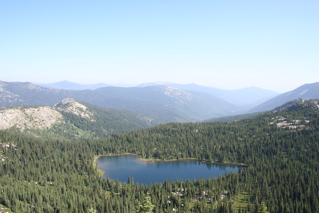
A View of West Fork Lake from the Top
Topographic Map of Silver Mountain, Idaho, USA
Find elevation by address:

Places near Silver Mountain, Idaho, USA:
V0b 1g7
Grass Mountain
Kaniksu Mountain
Central Kootenay C
Continental Mountain
Snowy Top
Little Snowy Top
Shedroof Mountain
Kootenay Pass
Salmo Mountain
Leola Peak
Nordman
Priest Lake
Priest Lake
Yellowstone Peak
Gypsy Peak
Mount Waldie
Reno Mountain
Nevada Mountain
Sheep Creek Road
Recent Searches:
- Elevation of Corso Fratelli Cairoli, 35, Macerata MC, Italy
- Elevation of Tallevast Rd, Sarasota, FL, USA
- Elevation of 4th St E, Sonoma, CA, USA
- Elevation of Black Hollow Rd, Pennsdale, PA, USA
- Elevation of Oakland Ave, Williamsport, PA, USA
- Elevation of Pedrógão Grande, Portugal
- Elevation of Klee Dr, Martinsburg, WV, USA
- Elevation of Via Roma, Pieranica CR, Italy
- Elevation of Tavkvetili Mountain, Georgia
- Elevation of Hartfords Bluff Cir, Mt Pleasant, SC, USA