Elevation of Kootenay Pass, Central Kootenay C, BC V0G, Canada
Location: Canada > British Columbia > Central Kootenay > Central Kootenay G > Salmo >
Longitude: -117.04194
Latitude: 49.058056
Elevation: 1777m / 5830feet
Barometric Pressure: 82KPa
Elevation Map:
Satellite Map:
Related Photos:
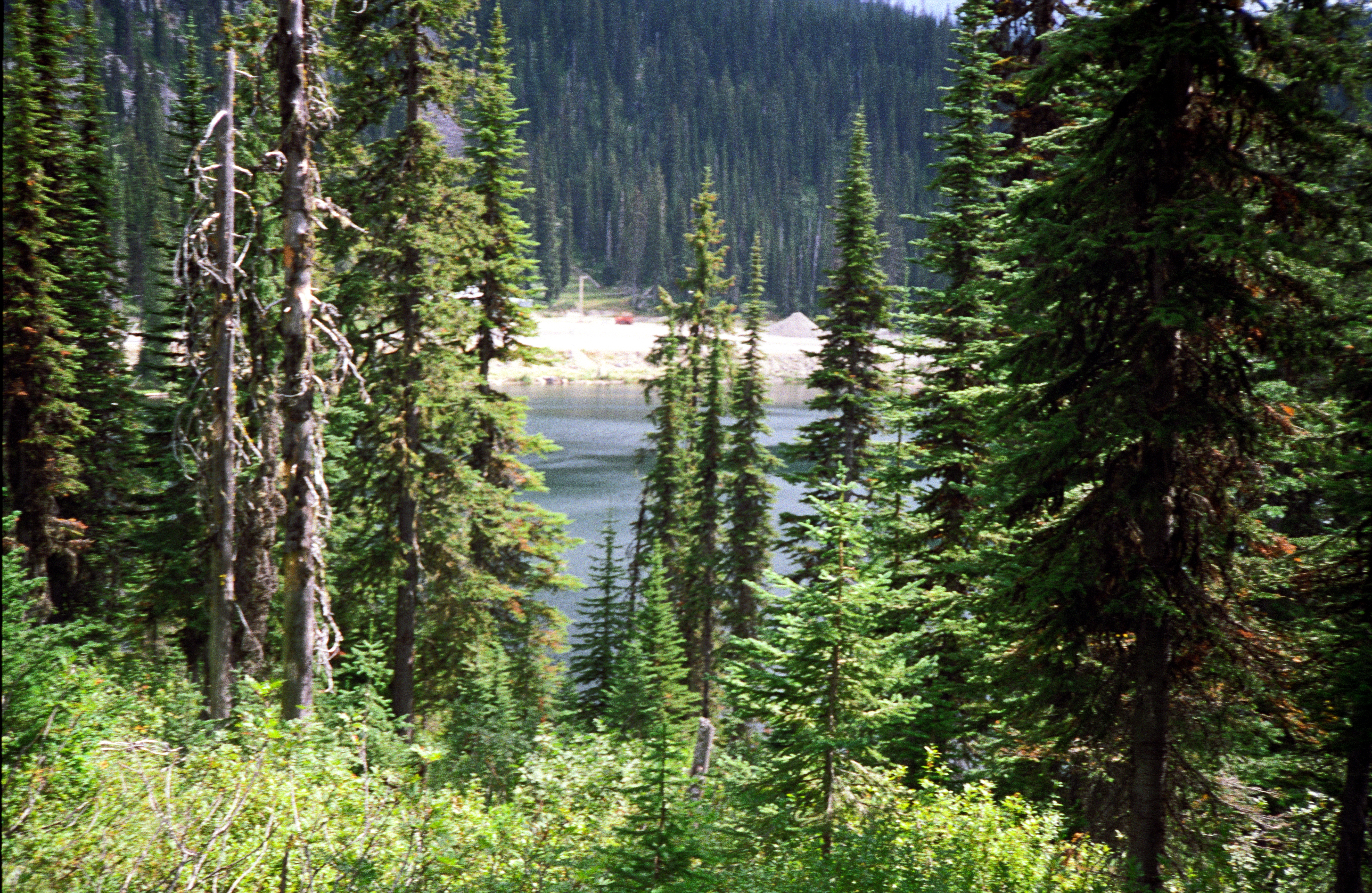
Kootenay Pass View
IMG_8409 (3)
iPhone Canada! Well all I'm in Lakeside, Montana tonight.
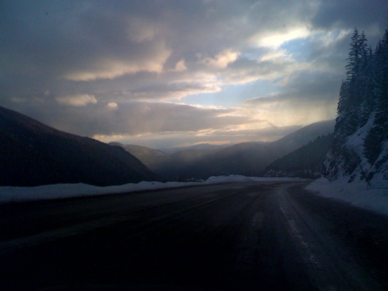
photo.jpg
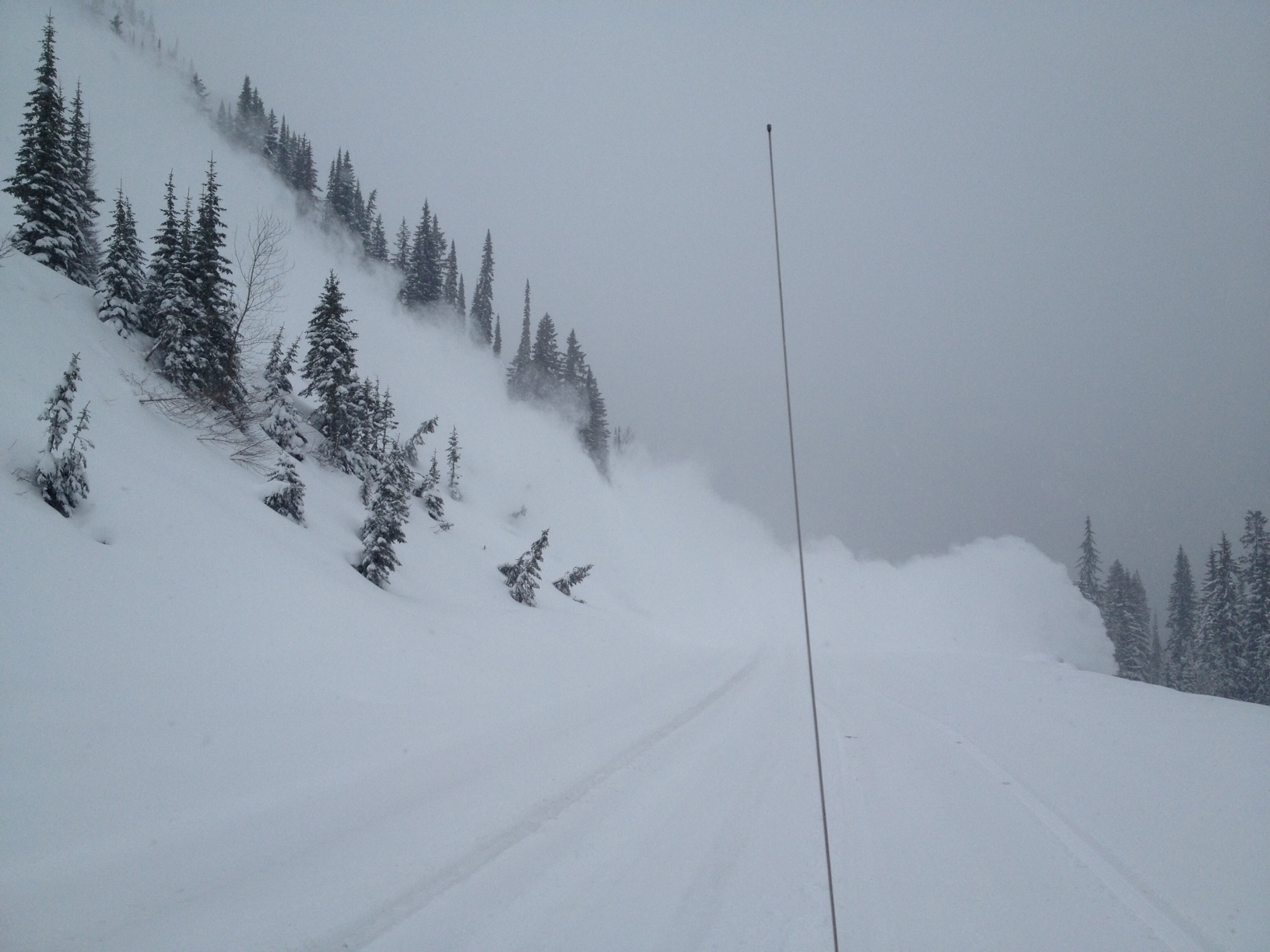
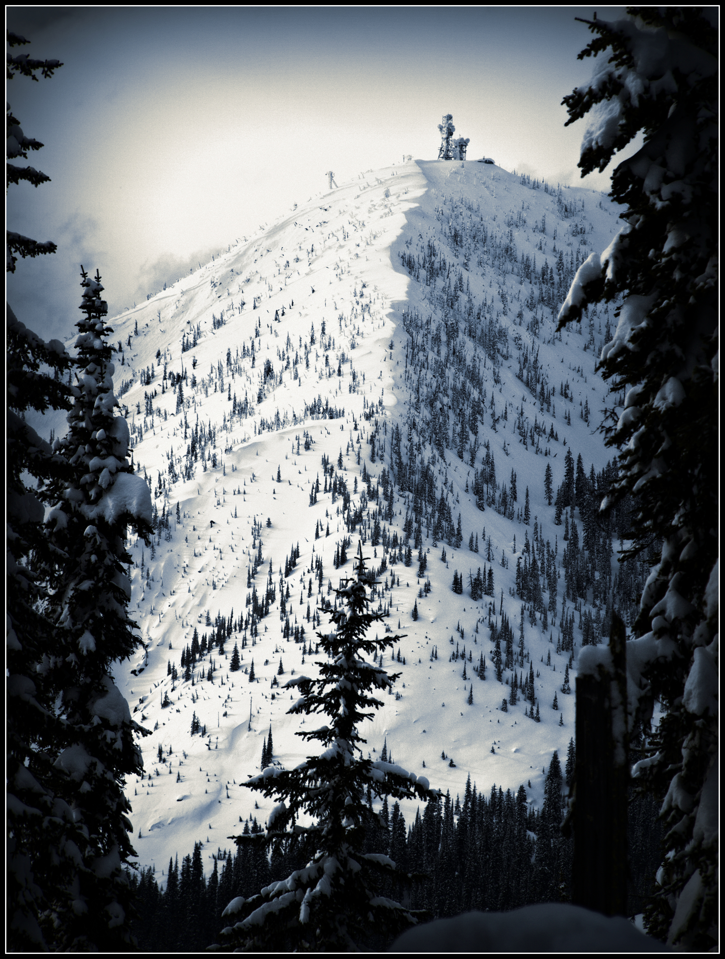
Kootenay Pass Avalanche Control
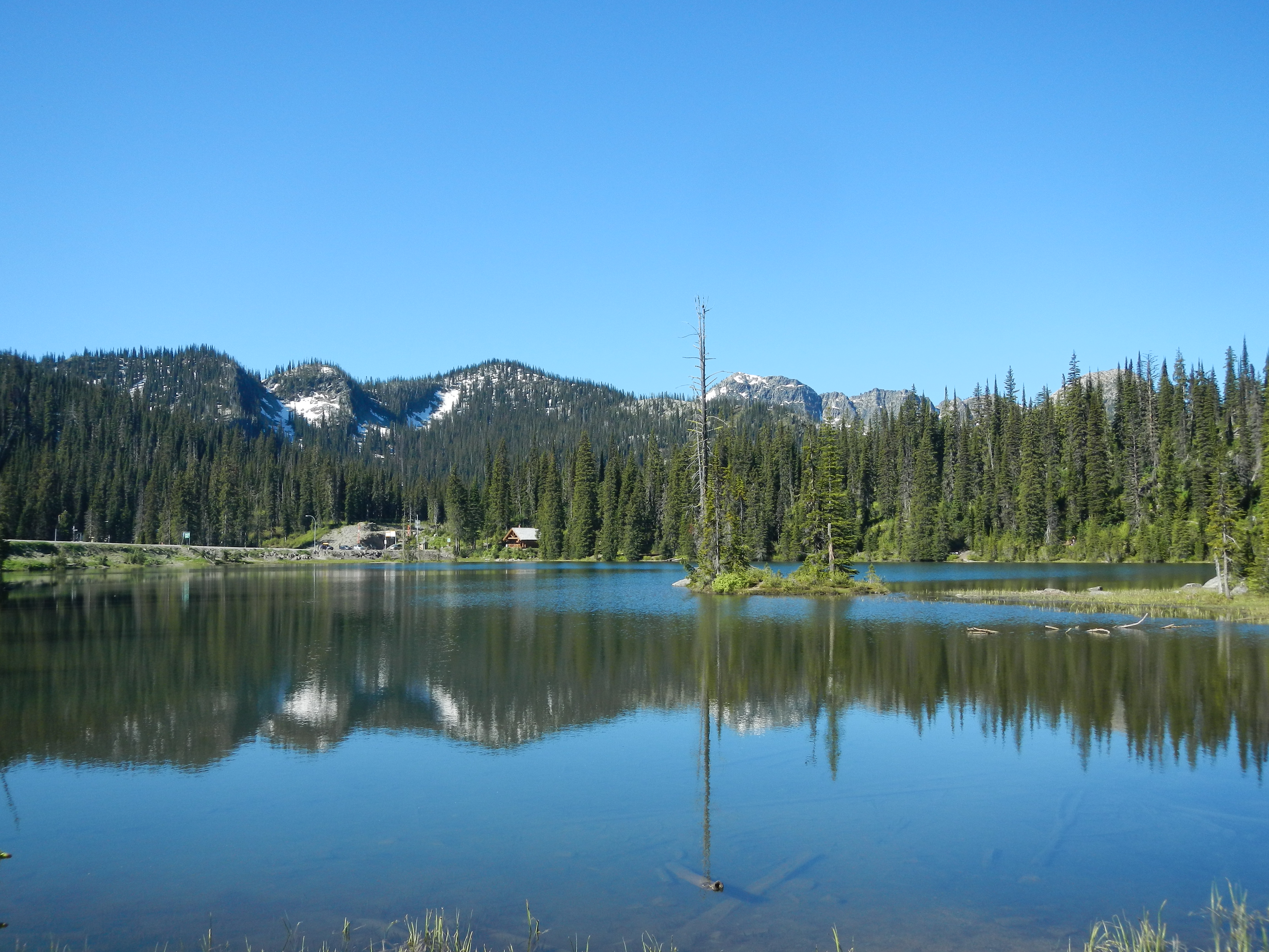
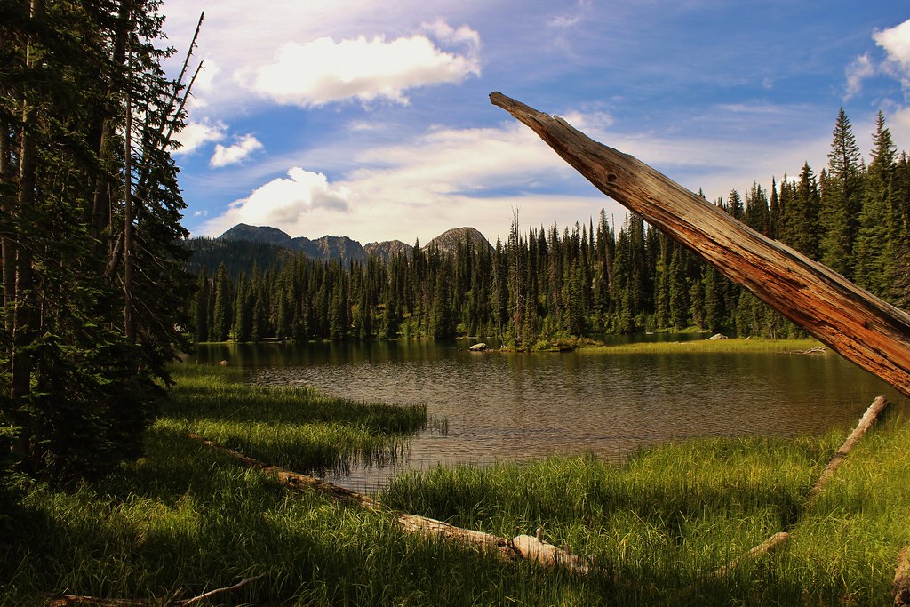
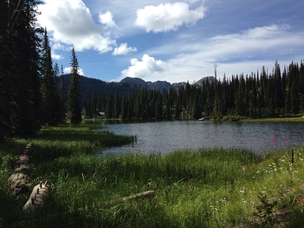
Bridal Lake

Bridal Lake
koot10c41 Salmo-Creston Highway Summit, BC 2010

Selkirk Dave 123
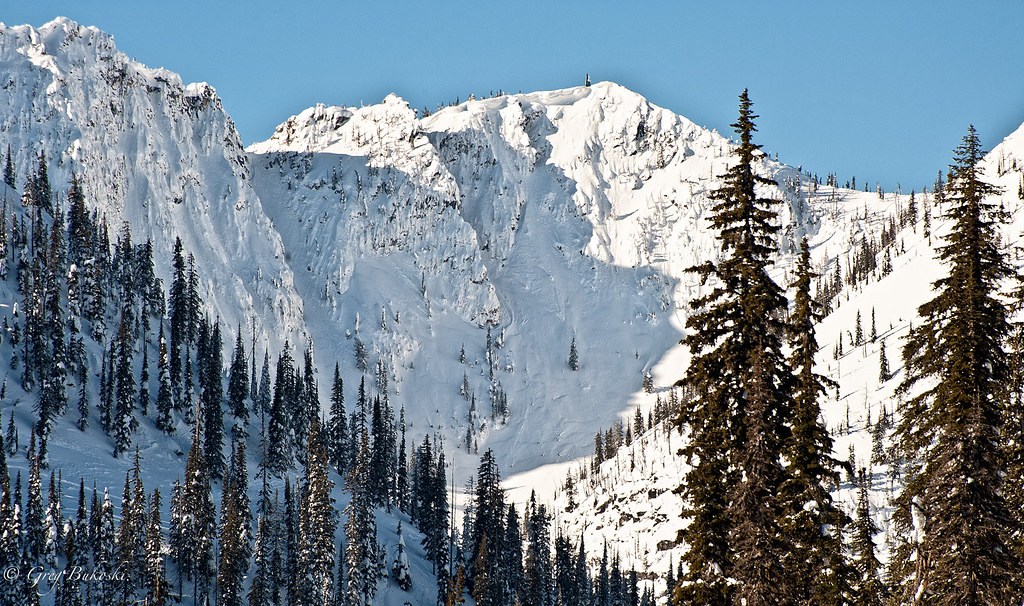
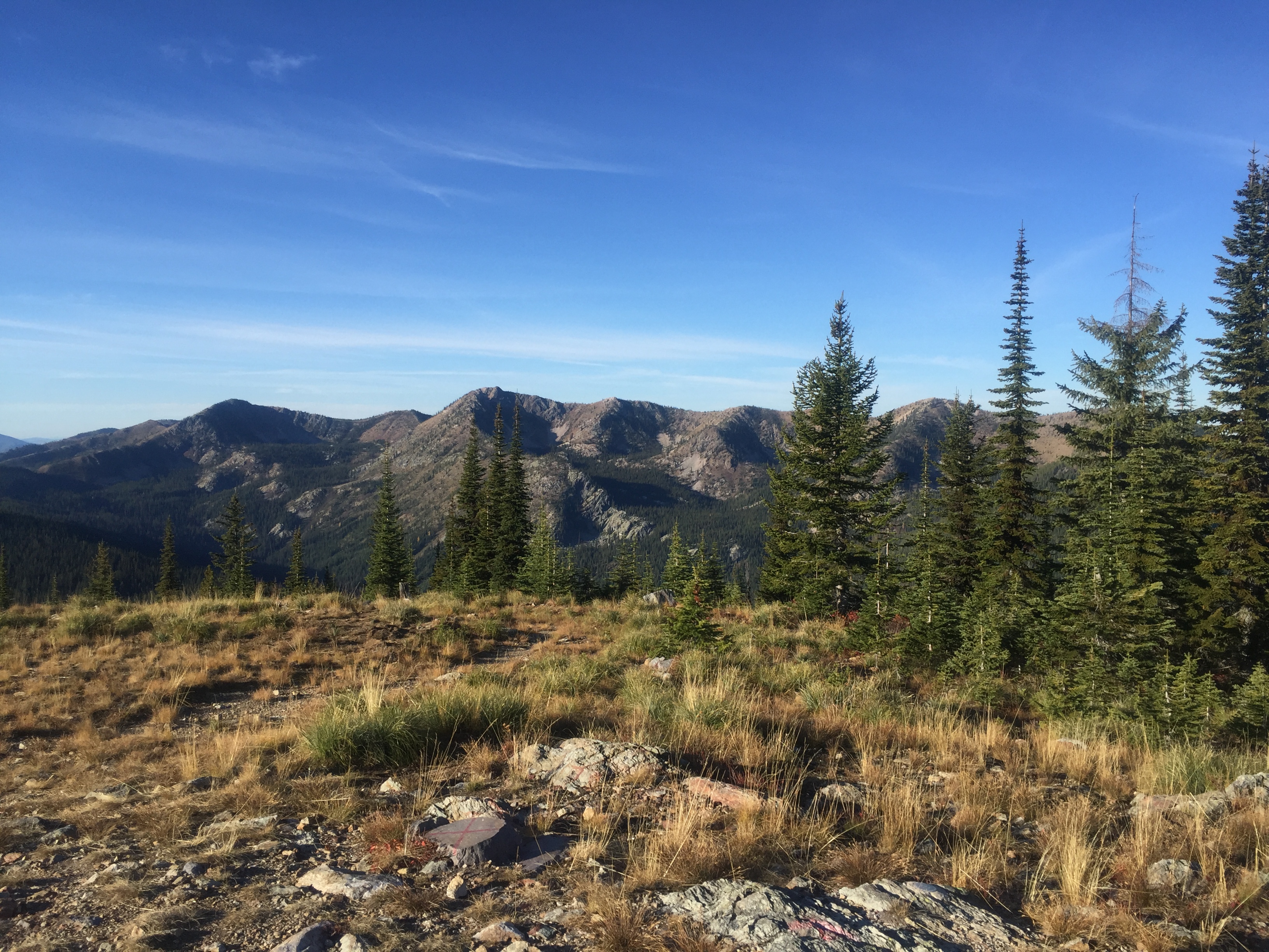
Kootenay Pass
BC 02
Get on the Doc Bus

IMG_8432 (3)

DSD_9361.jpg
Mt Salmo , Wa 10-17-15
Building along side Sheep Creek

Kootenay Pass, 1774 m
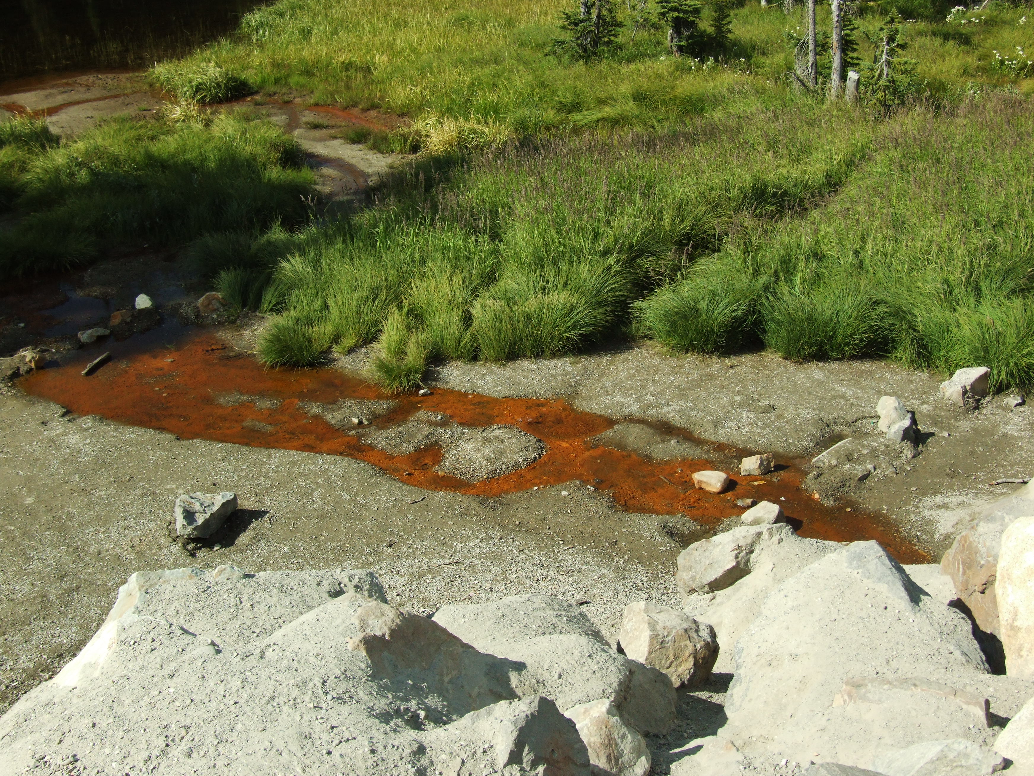
Another shot of the Bridal Lake Mineral Spring

BC 03
Topographic Map of Kootenay Pass, Central Kootenay C, BC V0G, Canada
Find elevation by address:

Places near Kootenay Pass, Central Kootenay C, BC V0G, Canada:
Snowy Top
Little Snowy Top
Salmo Mountain
Yellowstone Peak
Mount Waldie
Shedroof Mountain
Kaniksu Mountain
Leola Peak
Reno Mountain
Nevada Mountain
Gypsy Peak
Continental Mountain
Sheep Creek Road
Central Kootenay G
Grass Mountain
Central Kootenay C
350 Bear Rd
Salmo River Ranch Campground
250 Rosebud Lake Rd
Pend D'Oreille Rd, Fruitvale, BC V0G 1L1, Canada
Recent Searches:
- Elevation of Corso Fratelli Cairoli, 35, Macerata MC, Italy
- Elevation of Tallevast Rd, Sarasota, FL, USA
- Elevation of 4th St E, Sonoma, CA, USA
- Elevation of Black Hollow Rd, Pennsdale, PA, USA
- Elevation of Oakland Ave, Williamsport, PA, USA
- Elevation of Pedrógão Grande, Portugal
- Elevation of Klee Dr, Martinsburg, WV, USA
- Elevation of Via Roma, Pieranica CR, Italy
- Elevation of Tavkvetili Mountain, Georgia
- Elevation of Hartfords Bluff Cir, Mt Pleasant, SC, USA