Elevation of Gypsy Peak, Washington, USA
Location: United States > Washington > Pend Oreille County > Metaline Falls >
Longitude: -117.15218
Latitude: 48.9457612
Elevation: 2142m / 7028feet
Barometric Pressure: 78KPa
Elevation Map:
Satellite Map:
Related Photos:
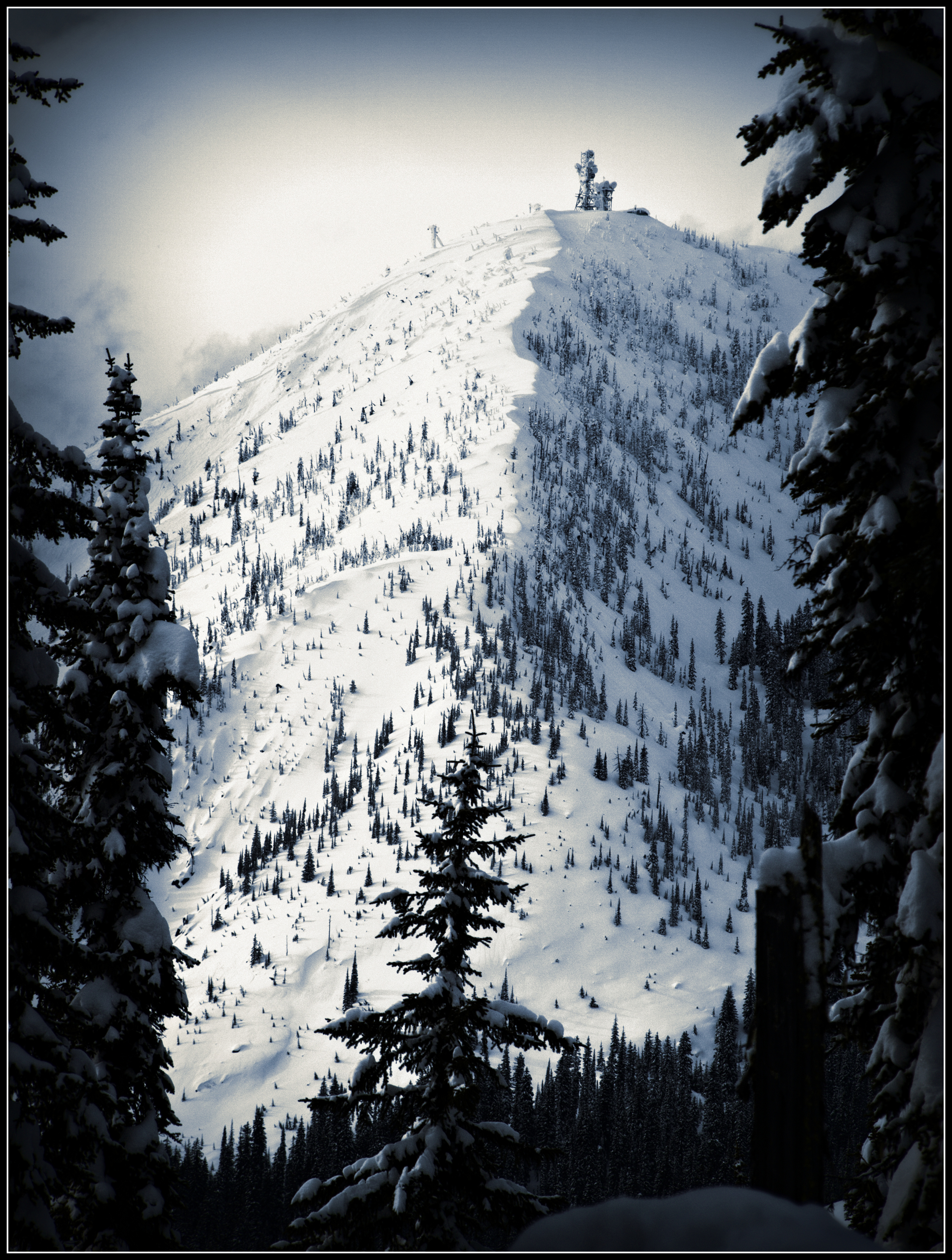
Kootenay Pass View

View from room at Hume Hotel
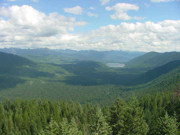
Hughes Lookout
Topographic Map of Gypsy Peak, Washington, USA
Find elevation by address:

Places near Gypsy Peak, Washington, USA:
Leola Peak
Salmo Mountain
Shedroof Mountain
350 Bear Rd
250 Rosebud Lake Rd
Little Snowy Top
Pend D'Oreille Rd, Fruitvale, BC V0G 1L1, Canada
Nelway
Kootenay Pass
Mount Waldie
Nevada Mountain
Snowy Top
Boundary Dam
Yellowstone Peak
Salmo River Ranch Campground
Sheep Creek Road
Boundary Access Road
Crawford State Park
Continental Mountain
Metaline Falls
Recent Searches:
- Elevation of Corso Fratelli Cairoli, 35, Macerata MC, Italy
- Elevation of Tallevast Rd, Sarasota, FL, USA
- Elevation of 4th St E, Sonoma, CA, USA
- Elevation of Black Hollow Rd, Pennsdale, PA, USA
- Elevation of Oakland Ave, Williamsport, PA, USA
- Elevation of Pedrógão Grande, Portugal
- Elevation of Klee Dr, Martinsburg, WV, USA
- Elevation of Via Roma, Pieranica CR, Italy
- Elevation of Tavkvetili Mountain, Georgia
- Elevation of Hartfords Bluff Cir, Mt Pleasant, SC, USA