Elevation of Little Snowy Top, Idaho, USA
Location: United States > Idaho > Bonners Ferry >
Longitude: -117.00301
Latitude: 48.9735418
Elevation: 2003m / 6572feet
Barometric Pressure: 79KPa
Elevation Map:
Satellite Map:
Related Photos:
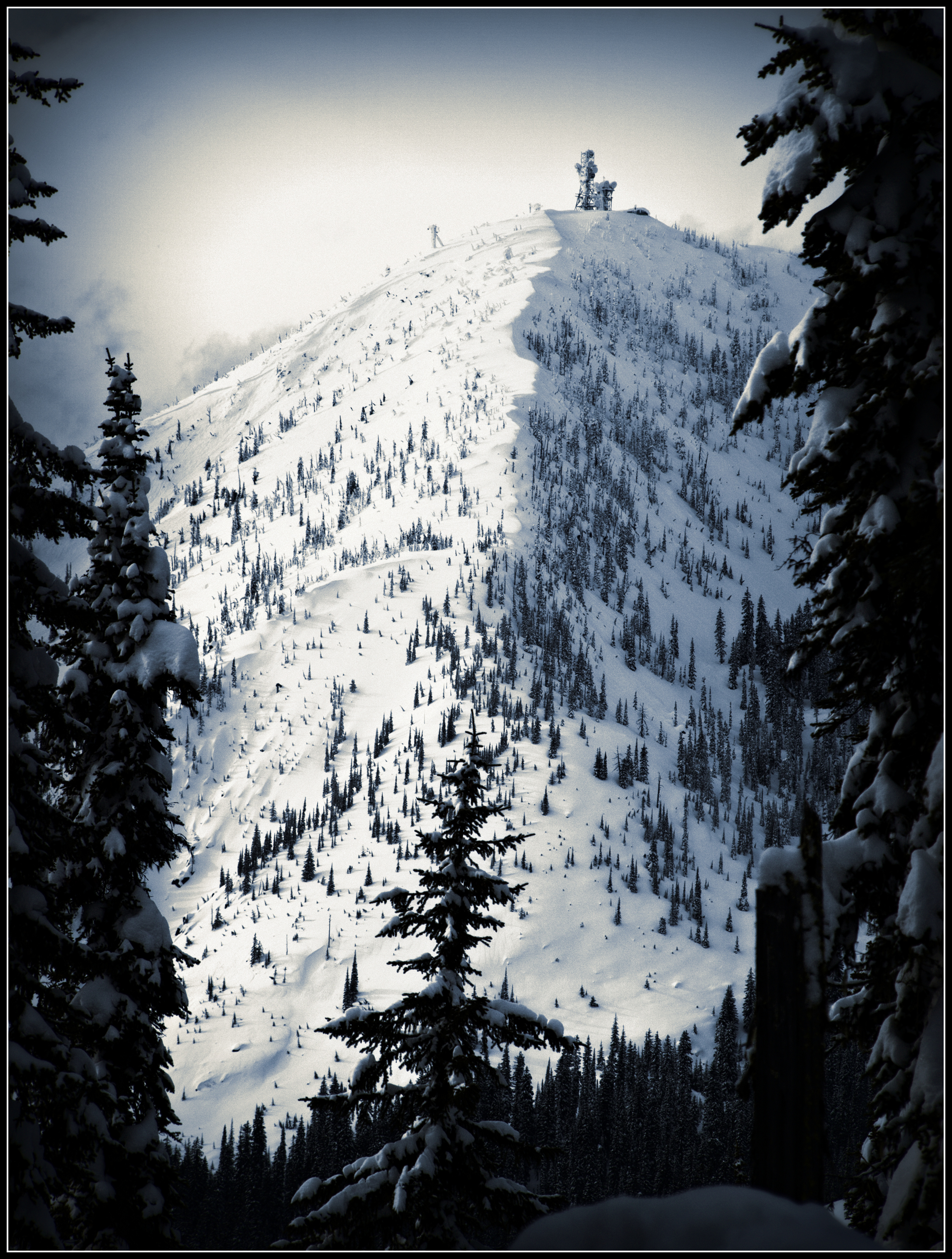
Kootenay Pass View
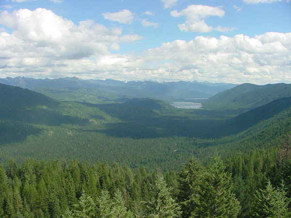
Hughes Lookout
Topographic Map of Little Snowy Top, Idaho, USA
Find elevation by address:

Places near Little Snowy Top, Idaho, USA:
Snowy Top
Shedroof Mountain
Continental Mountain
Kaniksu Mountain
Kootenay Pass
Salmo Mountain
Leola Peak
Grass Mountain
Gypsy Peak
Mount Waldie
Yellowstone Peak
Nevada Mountain
Central Kootenay C
Reno Mountain
Sheep Creek Road
Silver Mountain
V0b 1g7
350 Bear Rd
250 Rosebud Lake Rd
Pend D'Oreille Rd, Fruitvale, BC V0G 1L1, Canada
Recent Searches:
- Elevation of Corso Fratelli Cairoli, 35, Macerata MC, Italy
- Elevation of Tallevast Rd, Sarasota, FL, USA
- Elevation of 4th St E, Sonoma, CA, USA
- Elevation of Black Hollow Rd, Pennsdale, PA, USA
- Elevation of Oakland Ave, Williamsport, PA, USA
- Elevation of Pedrógão Grande, Portugal
- Elevation of Klee Dr, Martinsburg, WV, USA
- Elevation of Via Roma, Pieranica CR, Italy
- Elevation of Tavkvetili Mountain, Georgia
- Elevation of Hartfords Bluff Cir, Mt Pleasant, SC, USA