Elevation of Shoreline Dr, Cascade, ID, USA
Location: United States > Idaho > Valley County > Cascade >
Longitude: -115.67673
Latitude: 44.646979
Elevation: 1628m / 5341feet
Barometric Pressure: 83KPa
Elevation Map:
Satellite Map:
Related Photos:

Camp Smoke
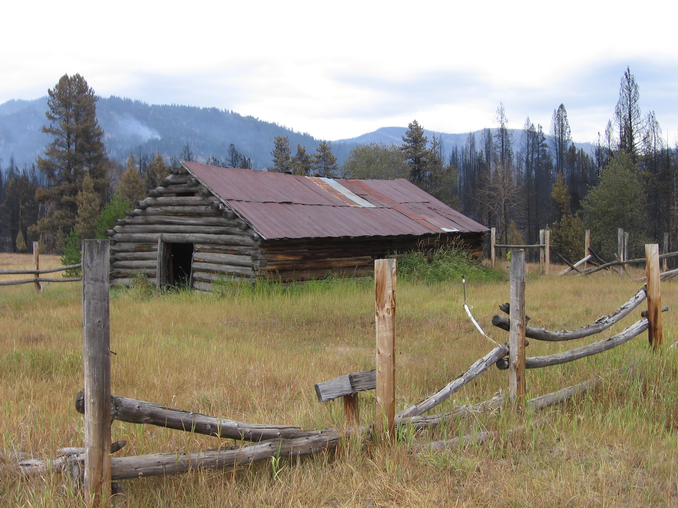
Cabin at Knox Ranch

Is Warm Lake warm?

scenery valley county
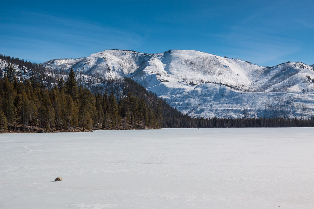
Warm Lake (Frozen)

scenery valley county

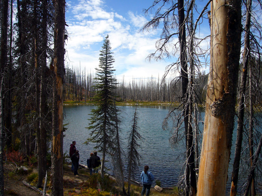
Duck Lake, June 2013

scenery valley county

Duck Lake, June 2013
1009-Summit-Lake-1

scenery valley county

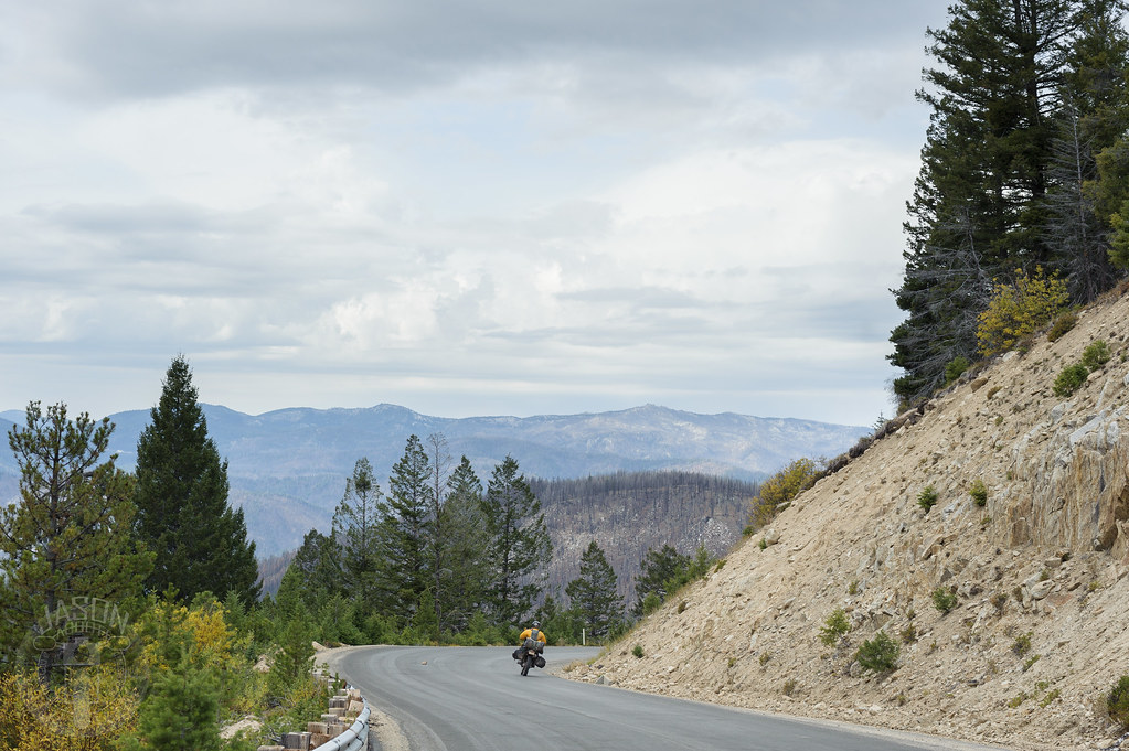
Straight stretch
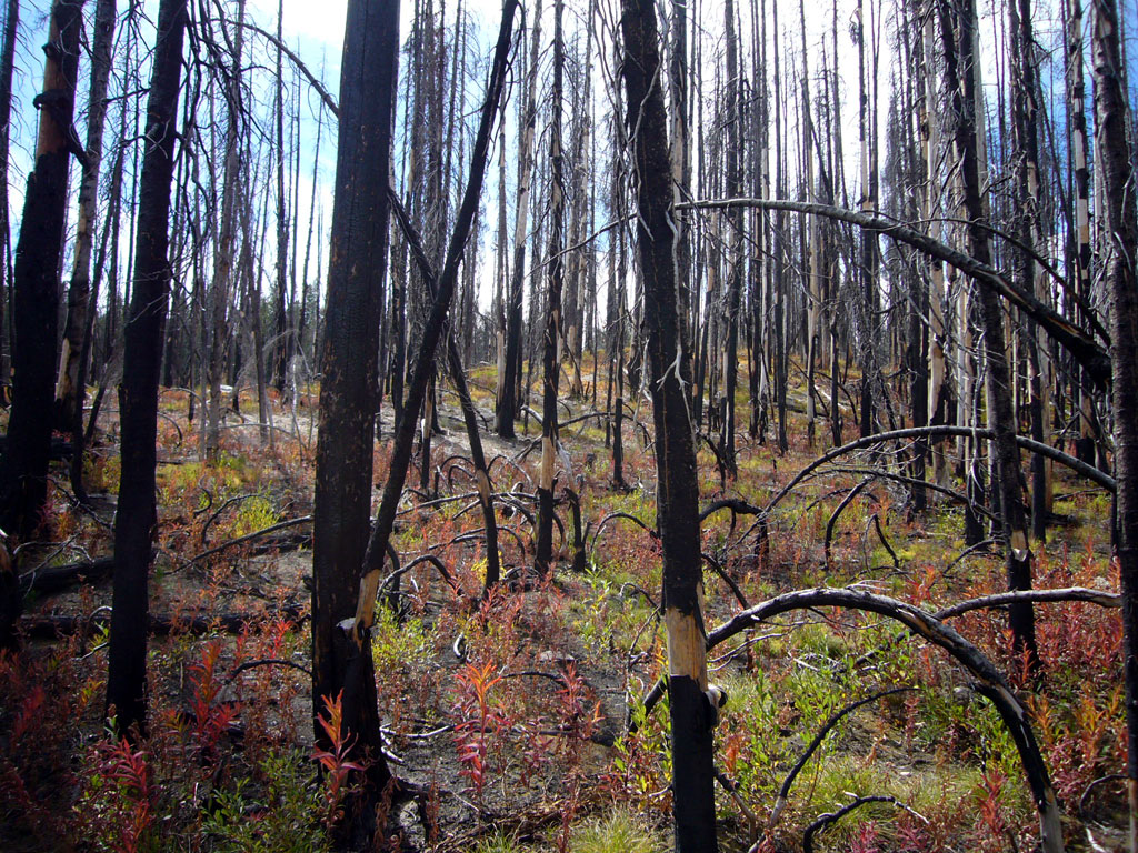
Stand of burned trees
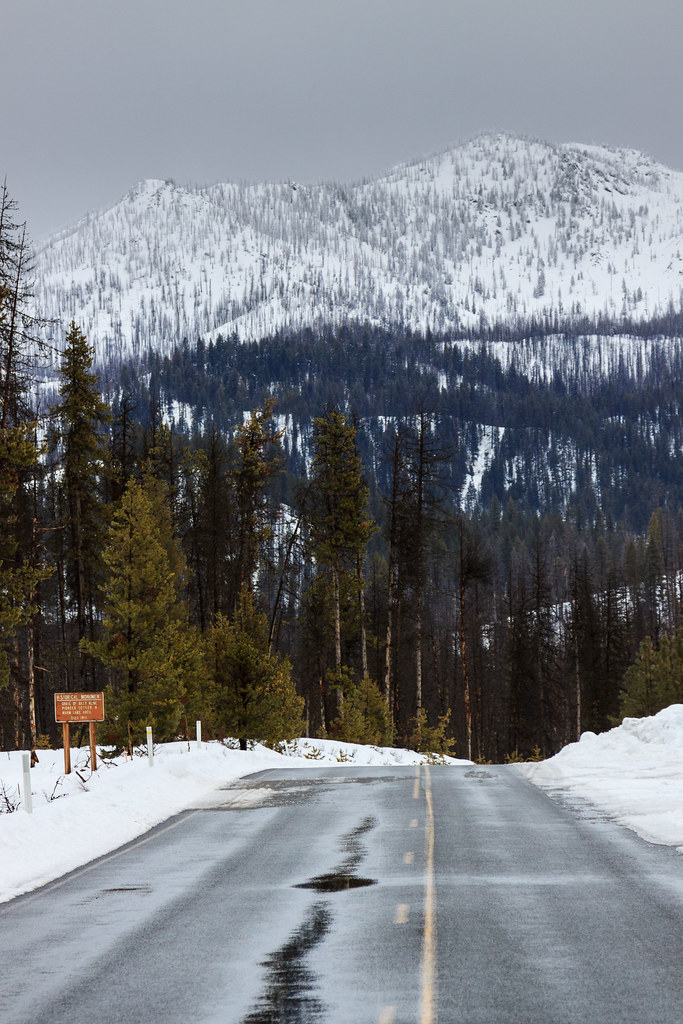
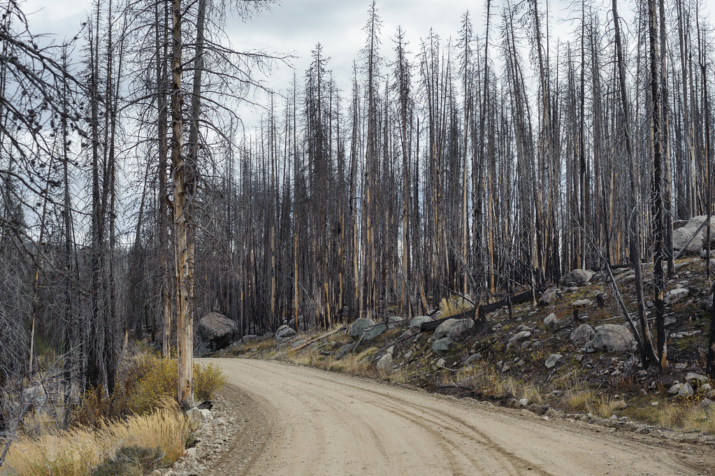
Warm Lake Road

scenery valley county
Warm Lake in the valley
1009-Summit-Lake-3
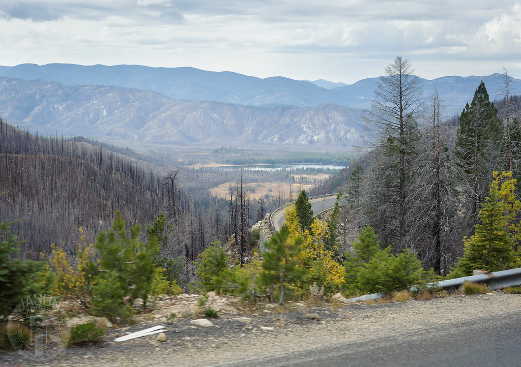
Winding down to Warm Lake

scenery valley county
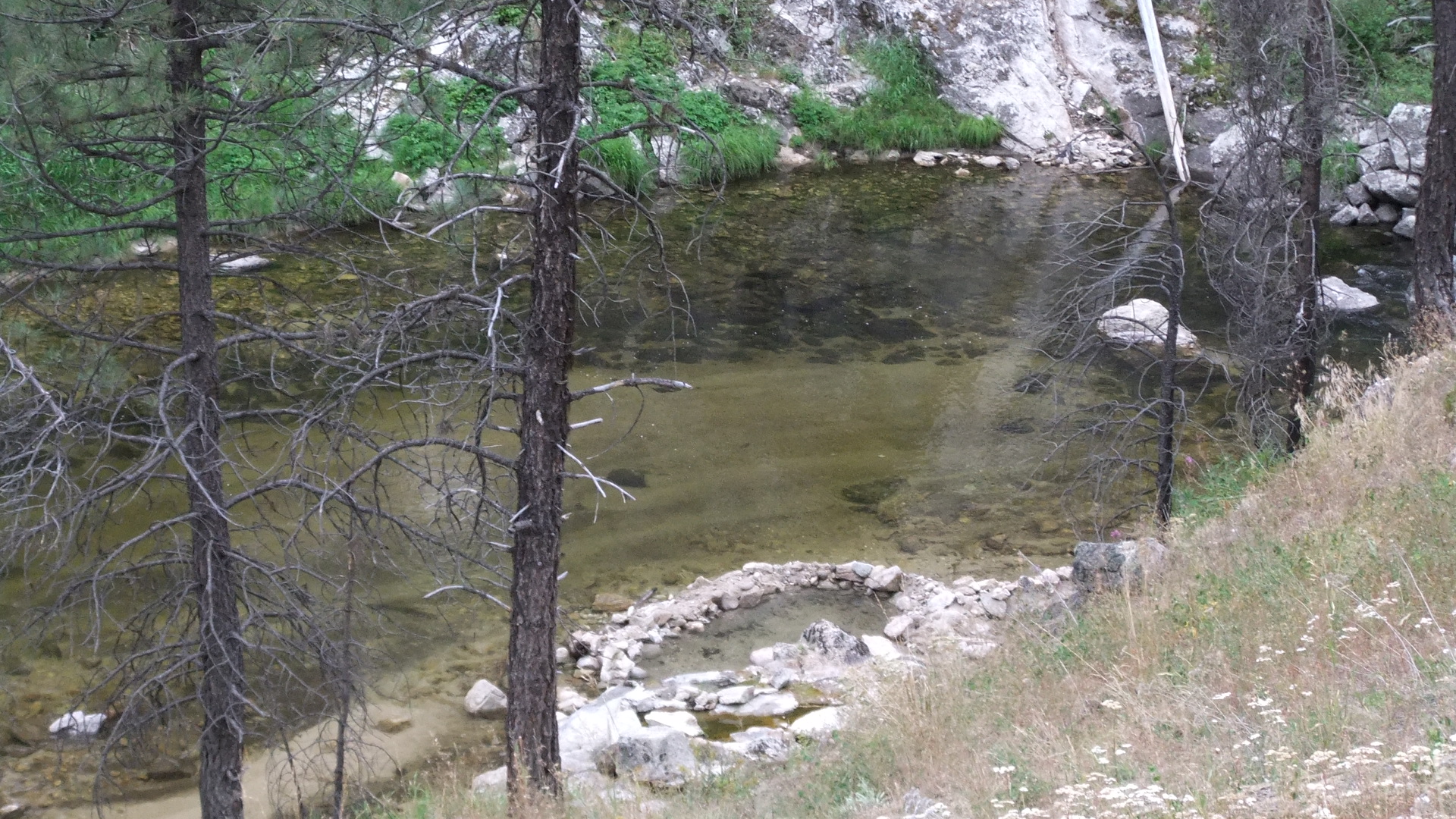
2010 0822 Penny Hot Springs on banks of the south fork Salmon River
Topographic Map of Shoreline Dr, Cascade, ID, USA
Find elevation by address:

Places near Shoreline Dr, Cascade, ID, USA:
Valley County
Ice Hole Campground
Warner Drive
Yellow Pine Campground
90 Goslin Loop
Yellow Pine
96 Little Donner Dr
96 Little Donner Dr
109 Cabarton Rd
Cascade
Shepherd-the Mountain Lutheran
Donnelly
Poker Meadows Campground
ID-55, Cascade, ID, USA
13218 Brookie Rd
13238 Brookie Rd
Brookie Road
Brookie Road
13211 Brookie Rd
13240 Kokanee Dr
Recent Searches:
- Elevation of Corso Fratelli Cairoli, 35, Macerata MC, Italy
- Elevation of Tallevast Rd, Sarasota, FL, USA
- Elevation of 4th St E, Sonoma, CA, USA
- Elevation of Black Hollow Rd, Pennsdale, PA, USA
- Elevation of Oakland Ave, Williamsport, PA, USA
- Elevation of Pedrógão Grande, Portugal
- Elevation of Klee Dr, Martinsburg, WV, USA
- Elevation of Via Roma, Pieranica CR, Italy
- Elevation of Tavkvetili Mountain, Georgia
- Elevation of Hartfords Bluff Cir, Mt Pleasant, SC, USA