Elevation of Yellow Pine Campground, Forest Rd A, Yellow Pine, ID, USA
Location: United States > Idaho > Valley County > Yellow Pine >
Longitude: -115.49502
Latitude: 44.95372
Elevation: 1444m / 4738feet
Barometric Pressure: 85KPa
Elevation Map:
Satellite Map:
Related Photos:

Morning View from the Test

Ice Hole Campground

Across the River

Peeking out the Tent

Puddles in the road
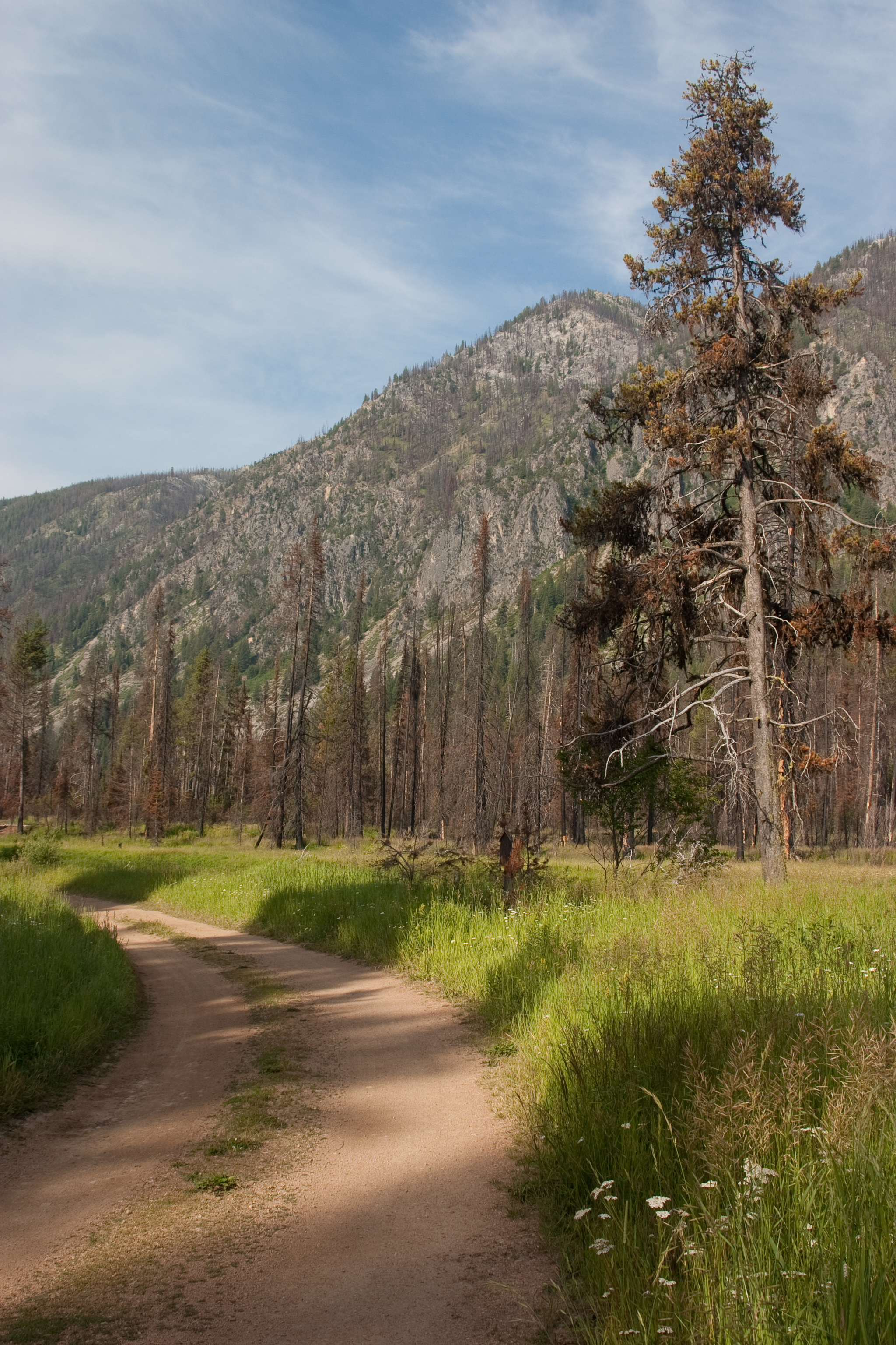
Campground Trail

Johnson Creek at Ice Hole

stibnite mine idaho
Topographic Map of Yellow Pine Campground, Forest Rd A, Yellow Pine, ID, USA
Find elevation by address:

Places near Yellow Pine Campground, Forest Rd A, Yellow Pine, ID, USA:
Yellow Pine
Ice Hole Campground
Valley County
Shoreline Dr, Cascade, ID, USA
Poker Meadows Campground
14172 Adams Cir
1029 Cee Way Loop
Ponderosa State Park
300 Krahn Ln
991 Sylvan Beach Rd
Mccall
E Lake St, McCall, ID, USA
Payette Lake
54 Scheline Ln
221 Morgan Dr
Heinrich Ln, McCall, ID, USA
Donnelly
Brookie Road
Brookie Road
13211 Brookie Rd
Recent Searches:
- Elevation of Corso Fratelli Cairoli, 35, Macerata MC, Italy
- Elevation of Tallevast Rd, Sarasota, FL, USA
- Elevation of 4th St E, Sonoma, CA, USA
- Elevation of Black Hollow Rd, Pennsdale, PA, USA
- Elevation of Oakland Ave, Williamsport, PA, USA
- Elevation of Pedrógão Grande, Portugal
- Elevation of Klee Dr, Martinsburg, WV, USA
- Elevation of Via Roma, Pieranica CR, Italy
- Elevation of Tavkvetili Mountain, Georgia
- Elevation of Hartfords Bluff Cir, Mt Pleasant, SC, USA