Elevation of Shirataka, Nishiokitama District, Yamagata Prefecture, Japan
Location: Japan > Yamagata Prefecture > Nishiokitama District >
Longitude: 140.098437
Latitude: 38.183095
Elevation: 204m / 669feet
Barometric Pressure: 99KPa
Elevation Map:
Satellite Map:
Related Photos:
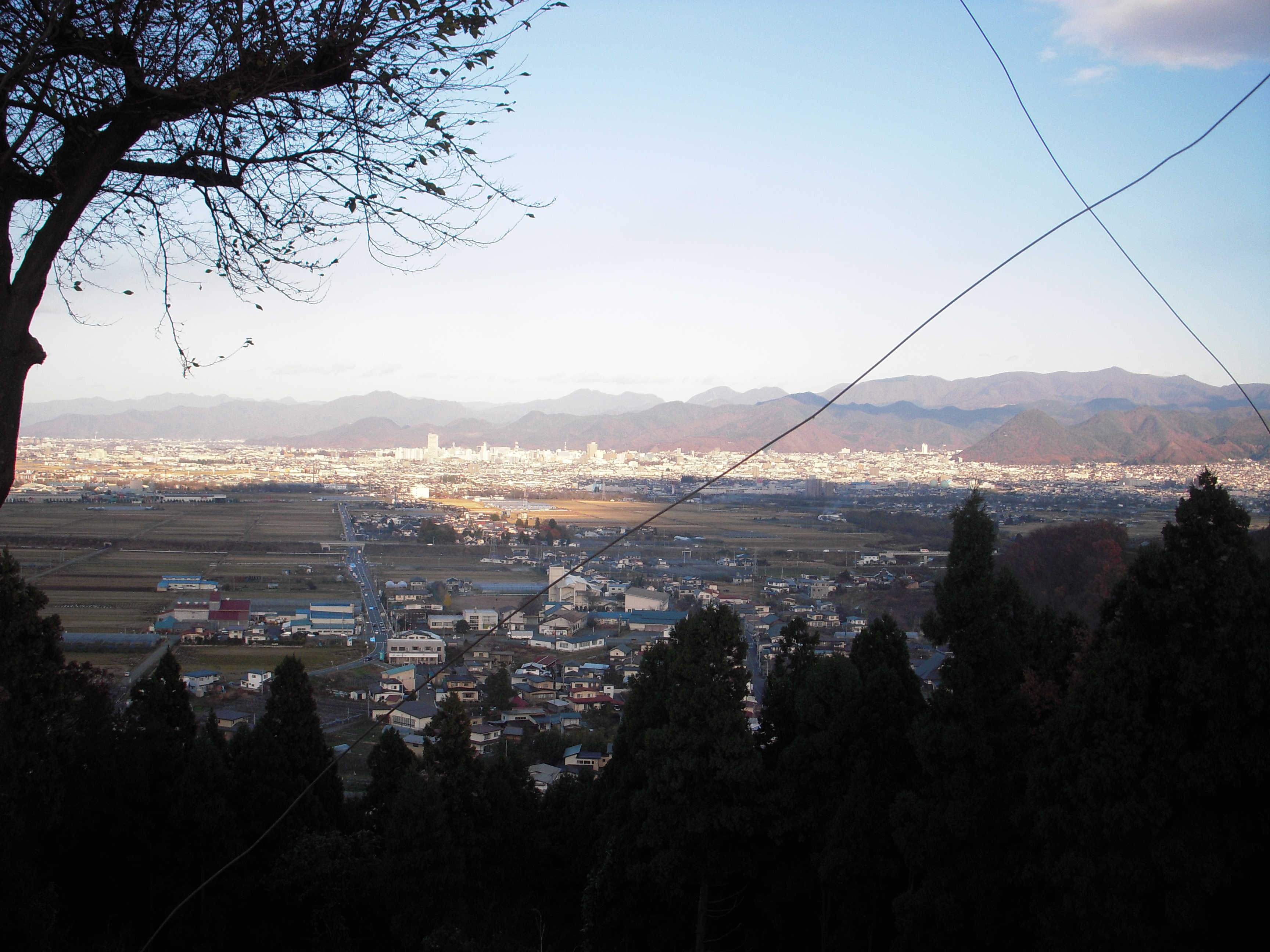
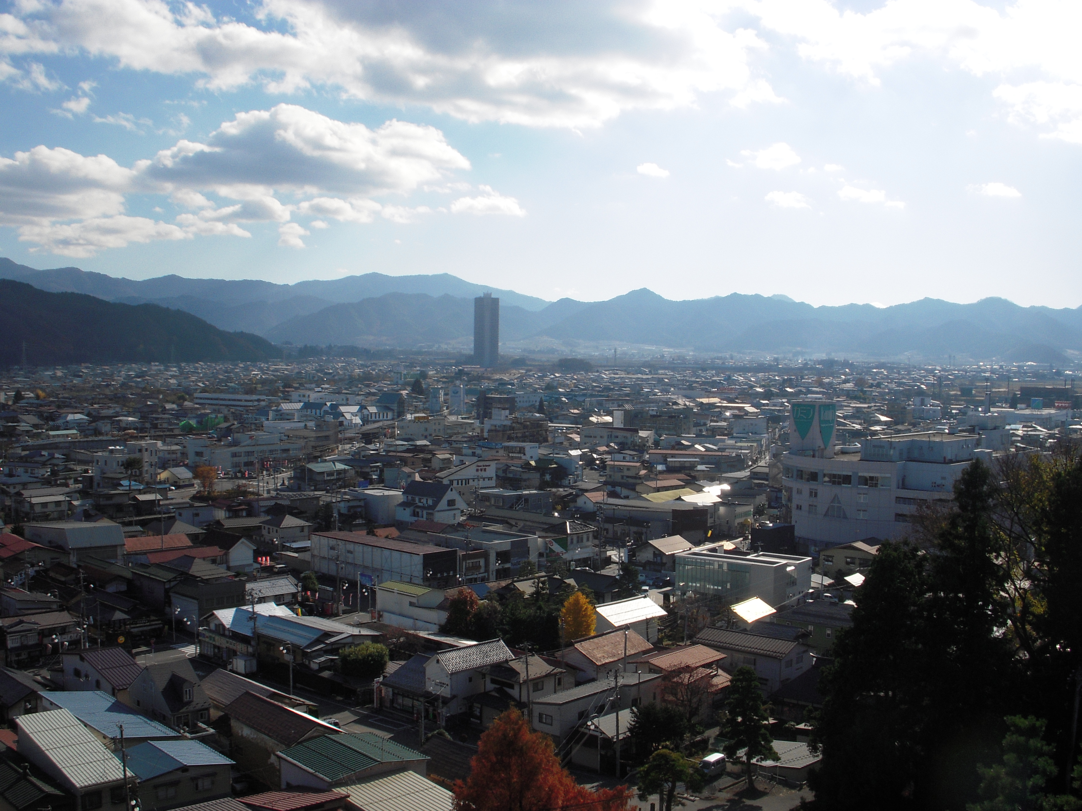
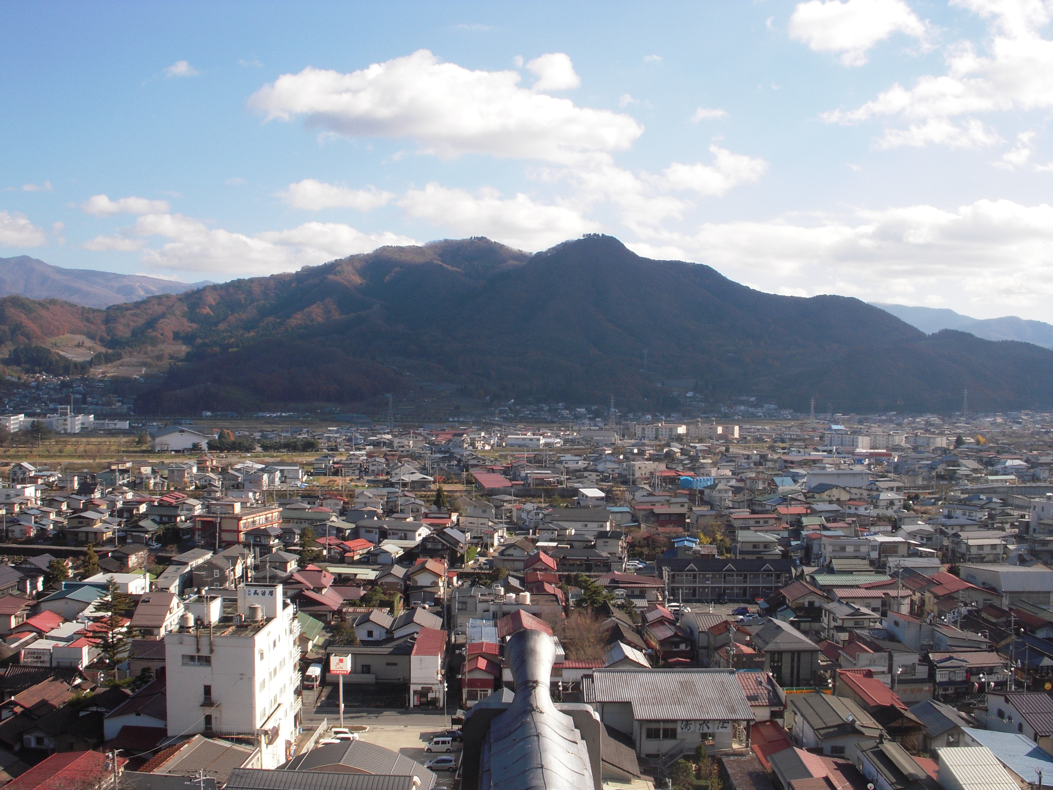
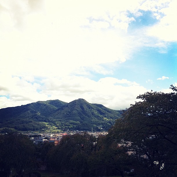
View of Yamagata city
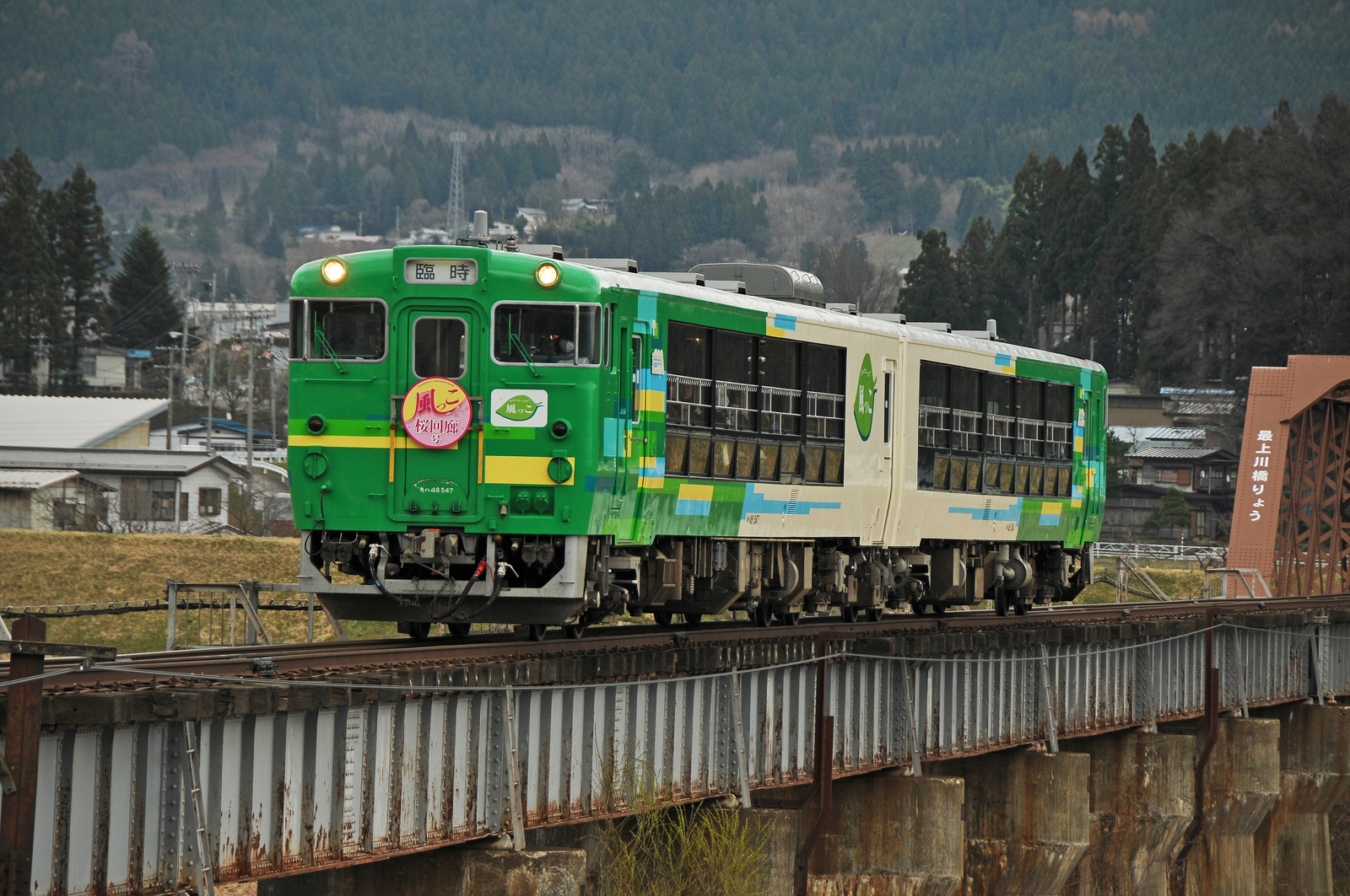
Type Kiha 48 "View Coaster Kazekko"
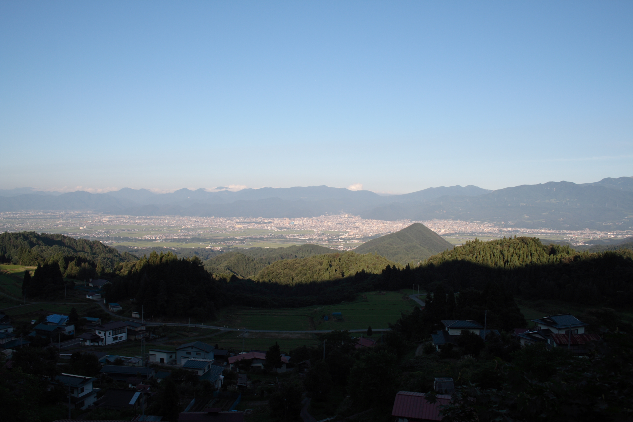
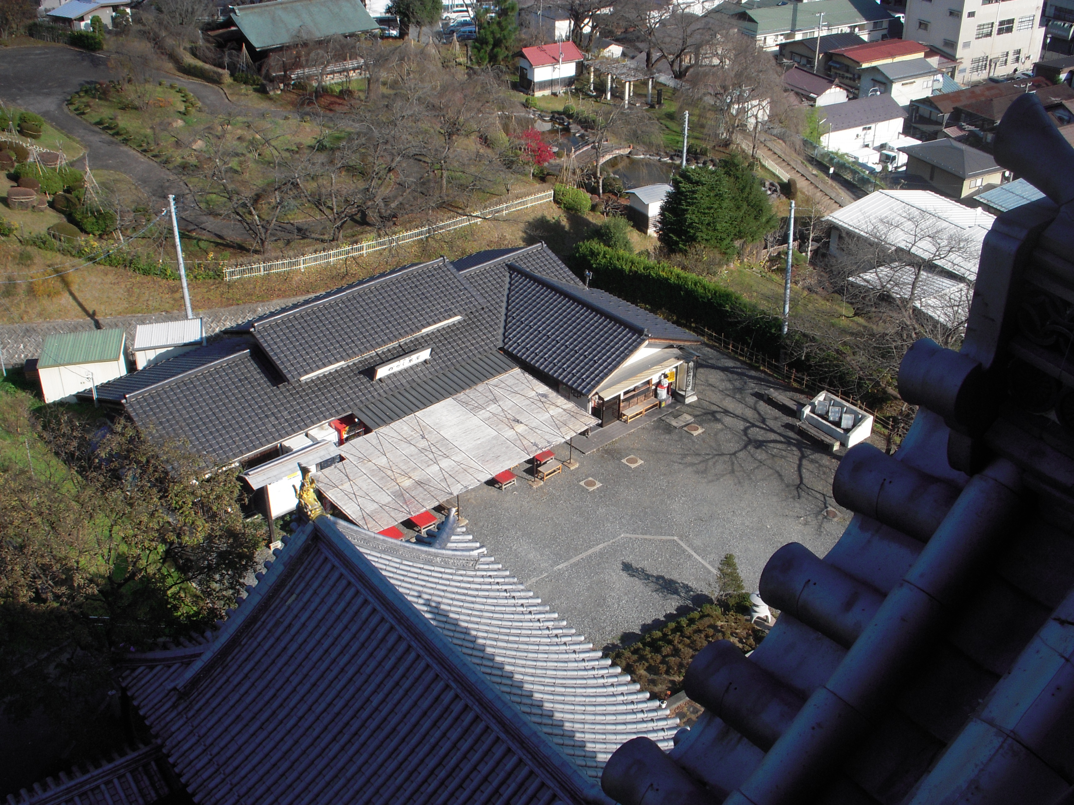
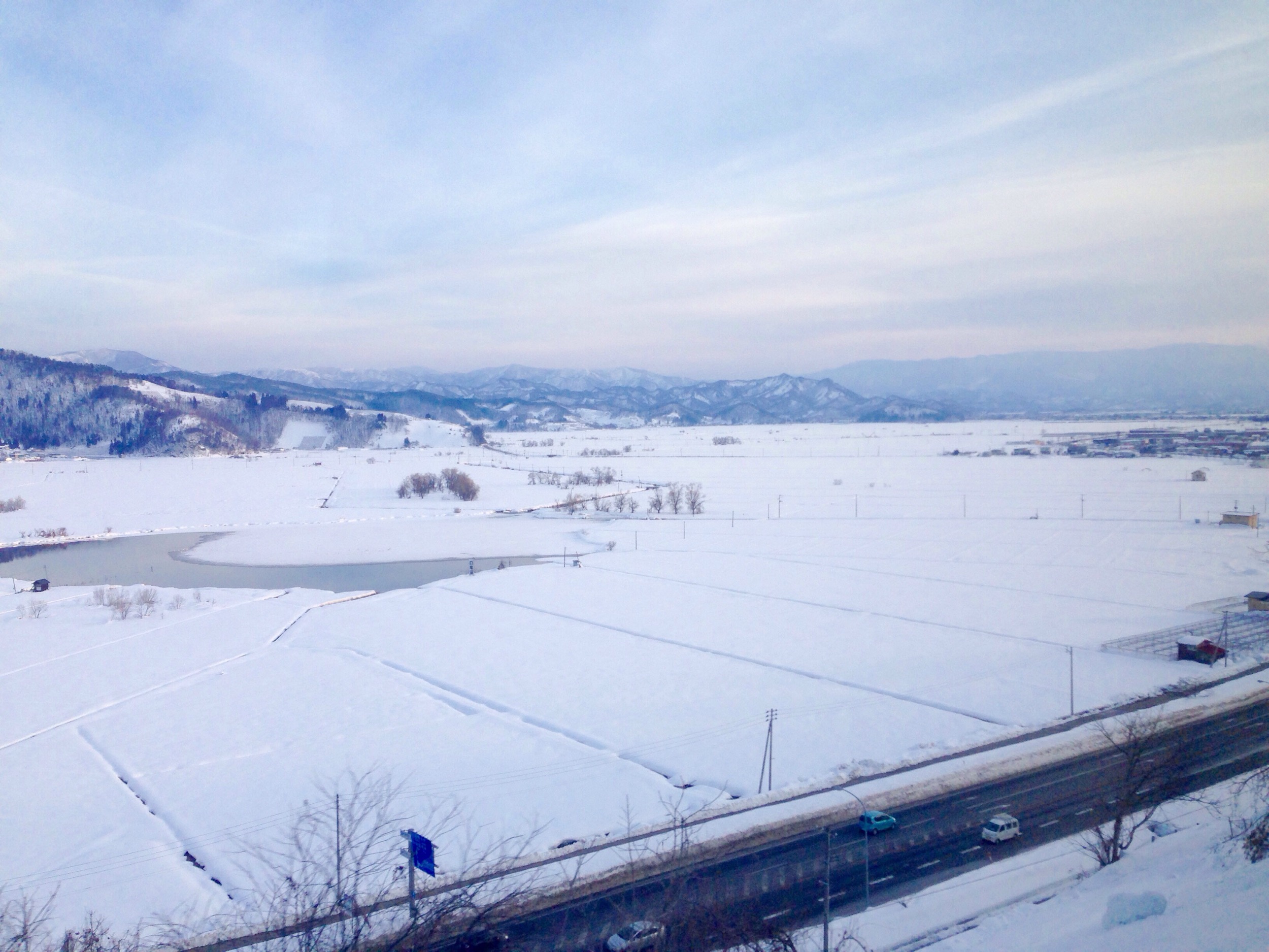
View from "FUREAI TENBOUDAI"
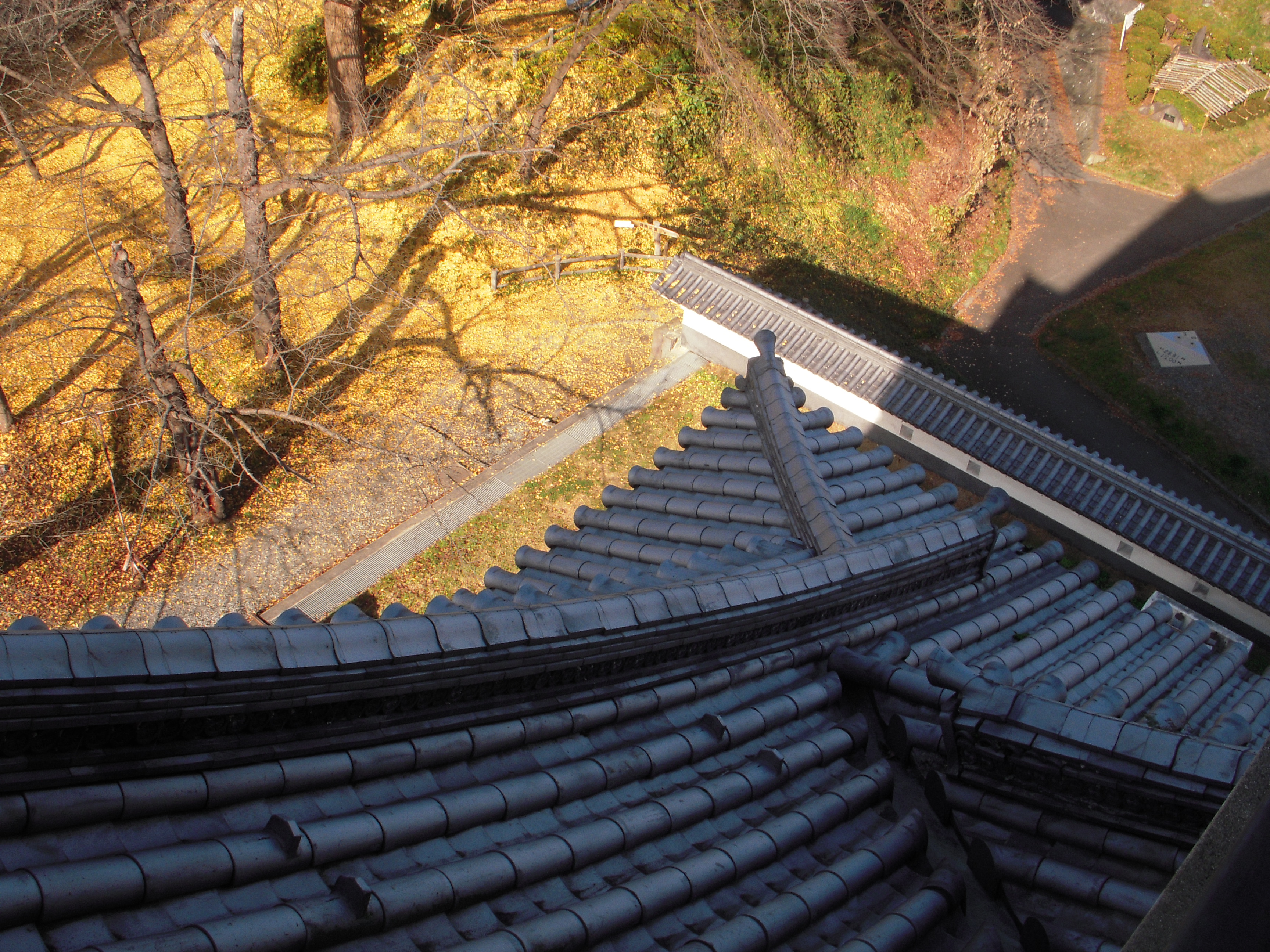
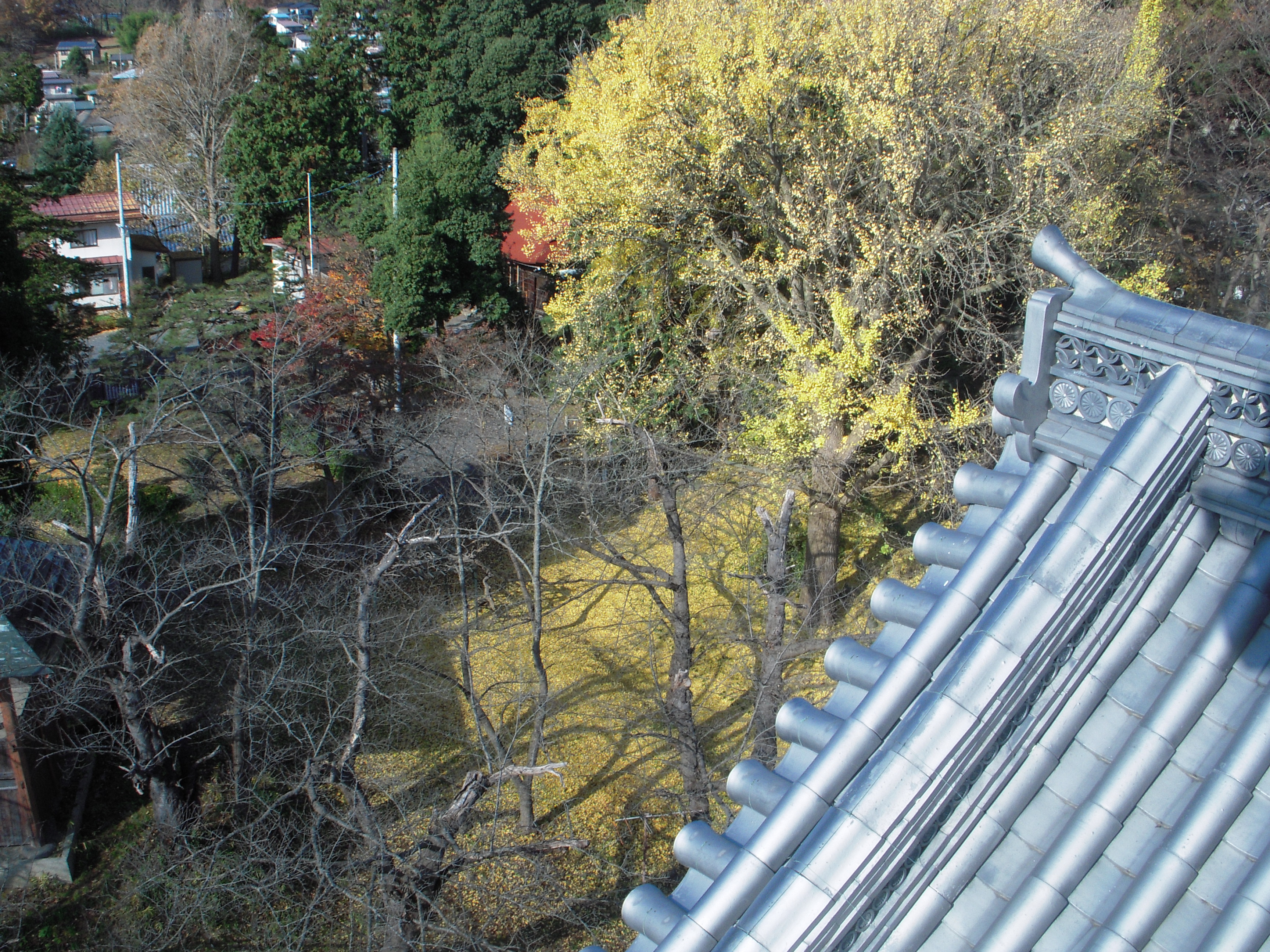
Roof view
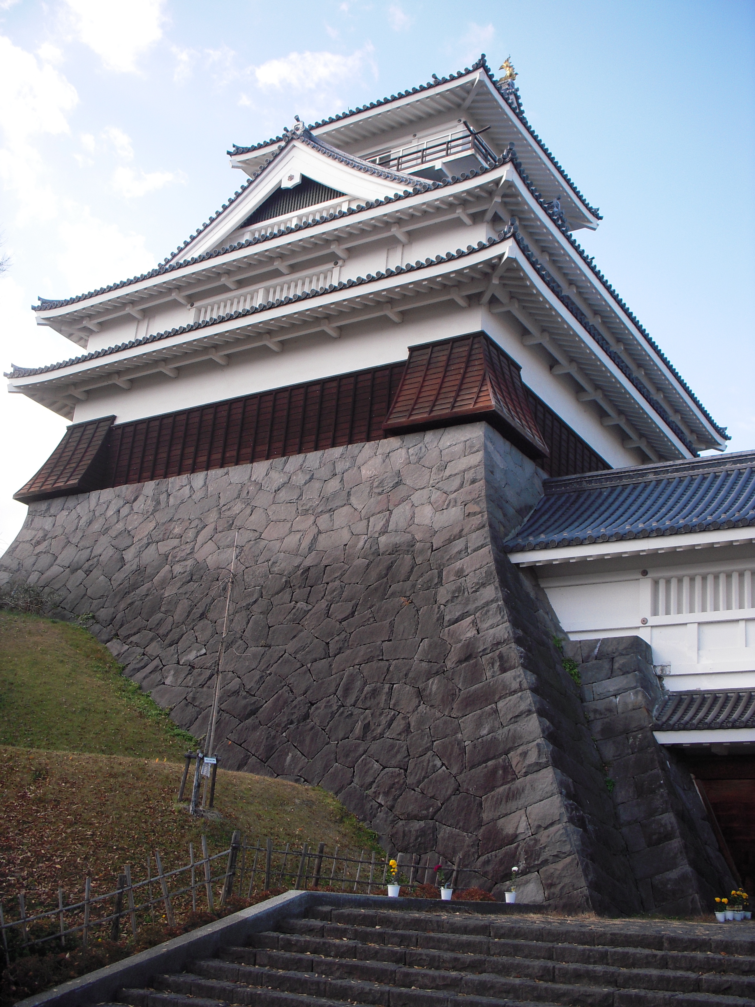
Front view
View of Kaminoyama2
View of the shrine
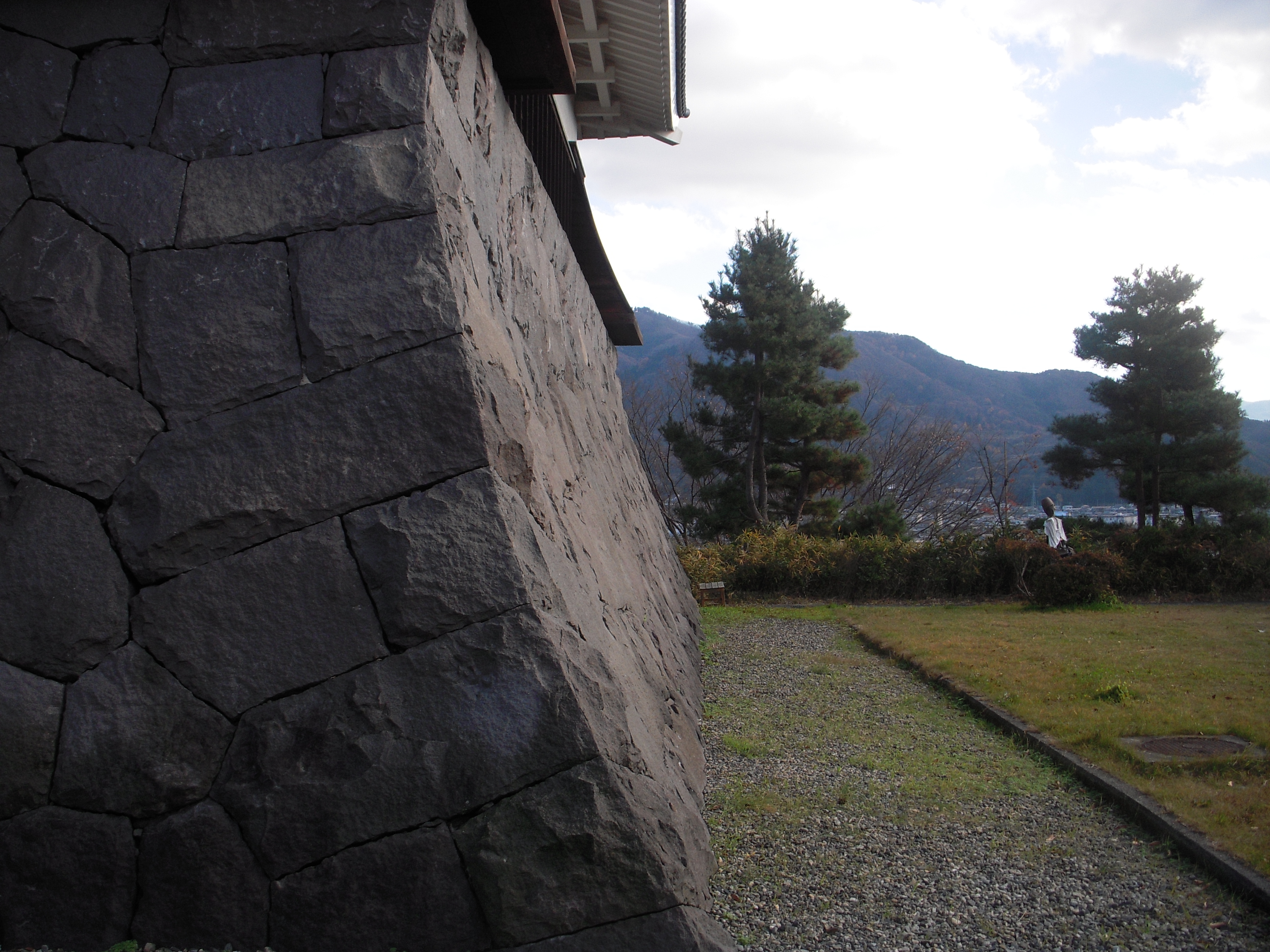
Side view
View of the courtyard
View of Kaminoyama
rural footpath
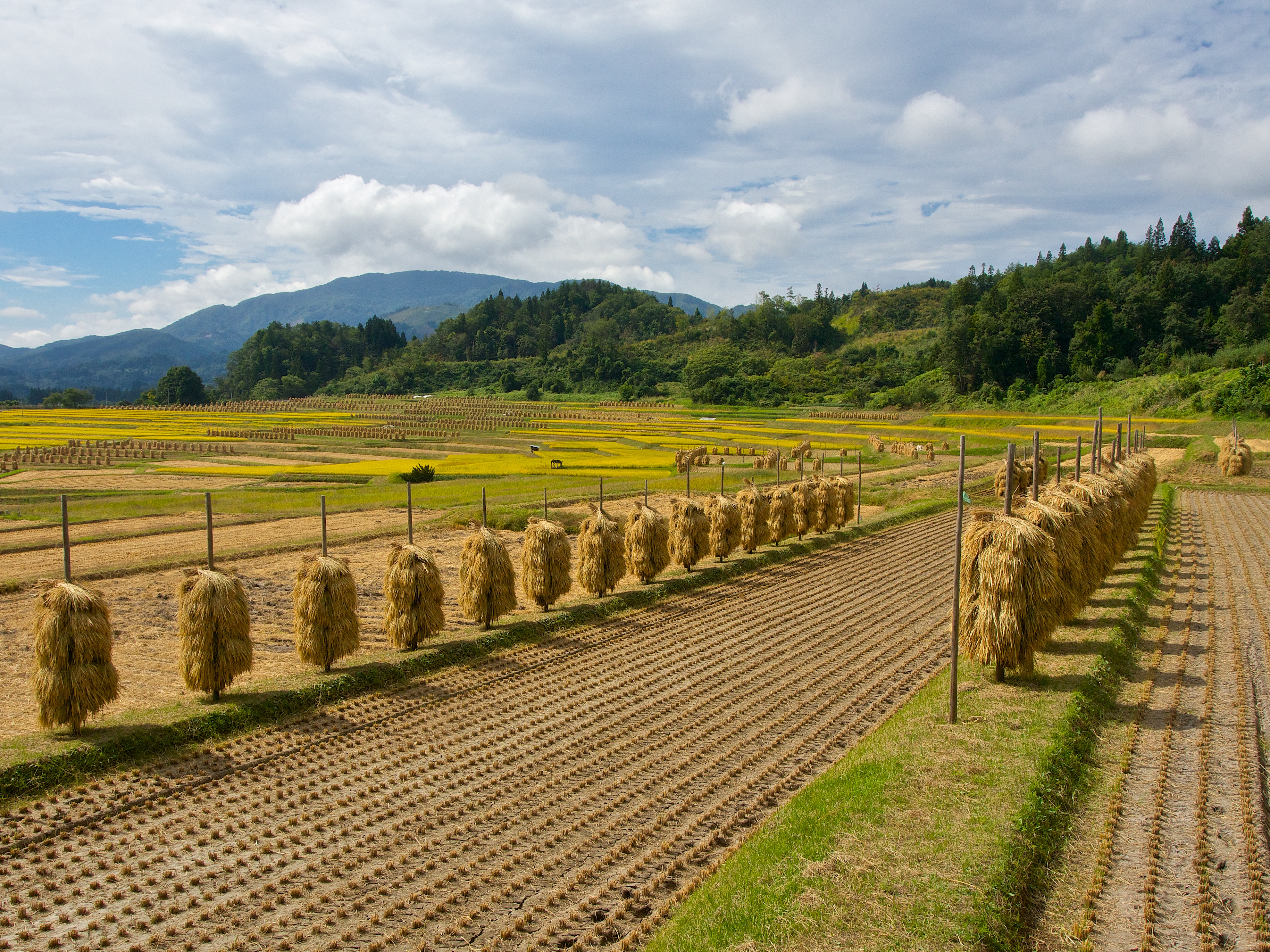
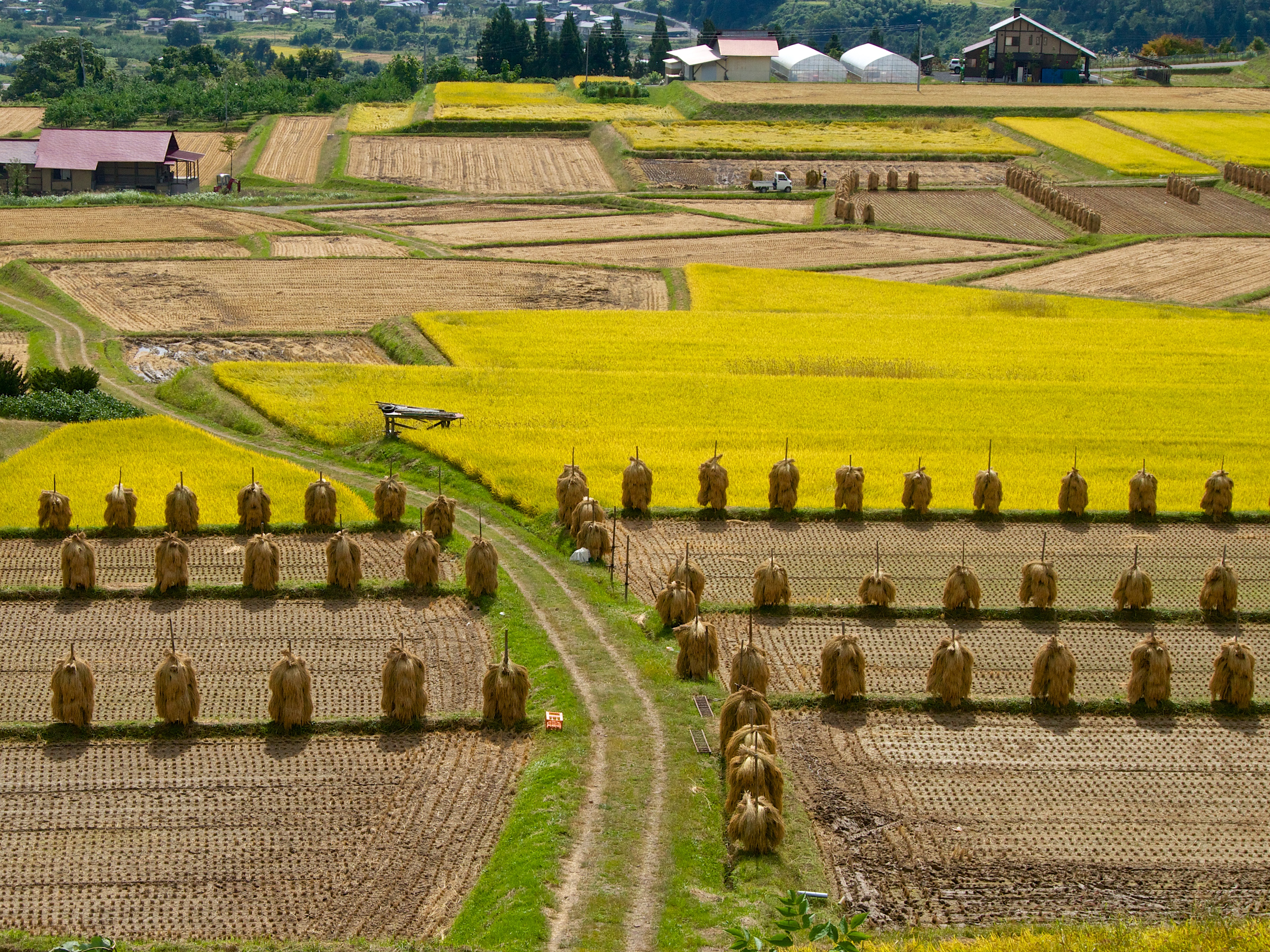
harvest season
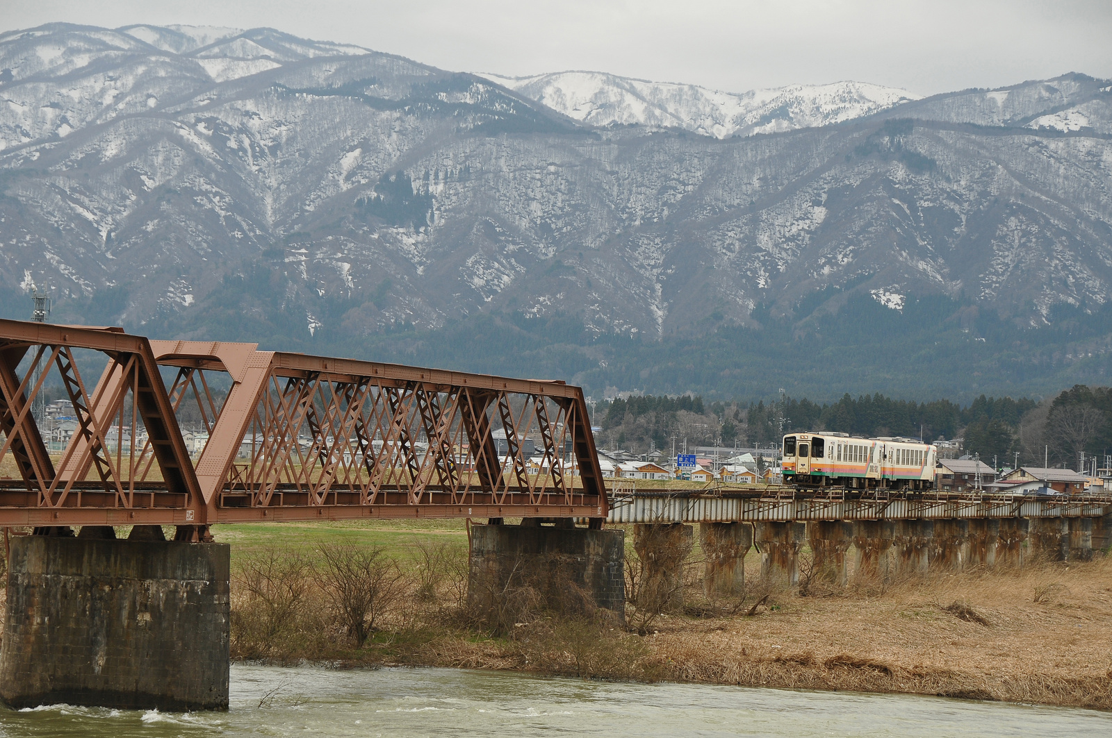
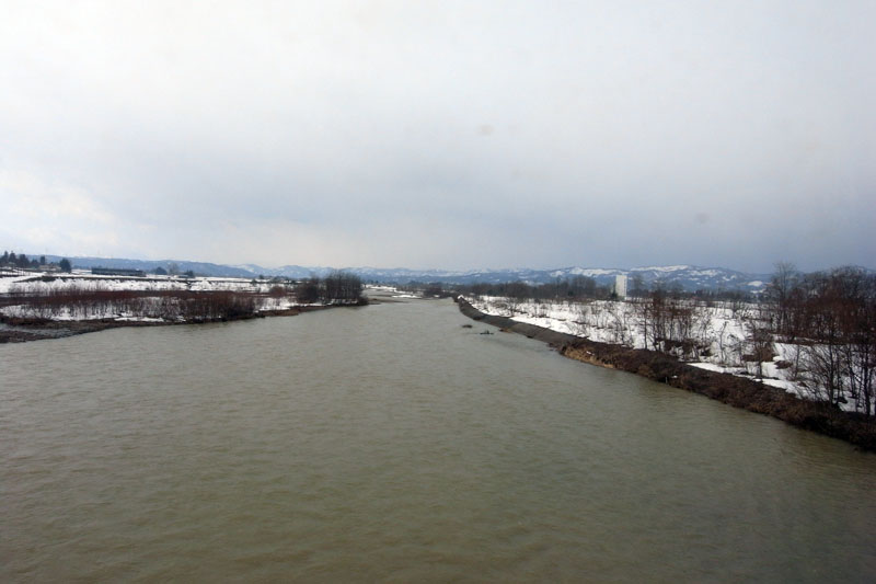
Yamagata railway goes over Mogami river bridge
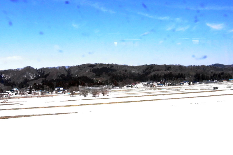
フラワー長井線 時庭駅辺り
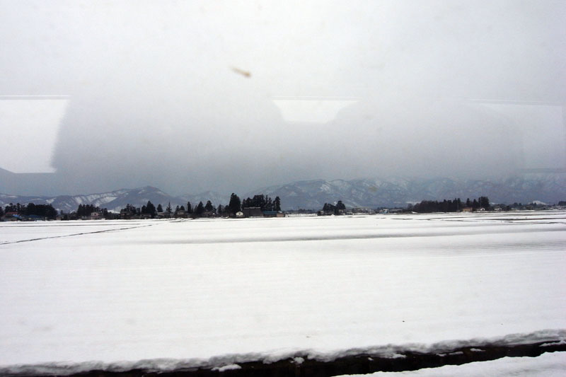
sky-20101114-02
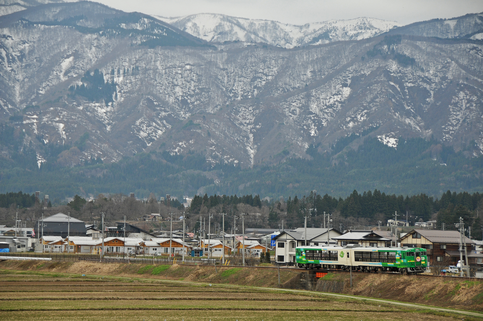
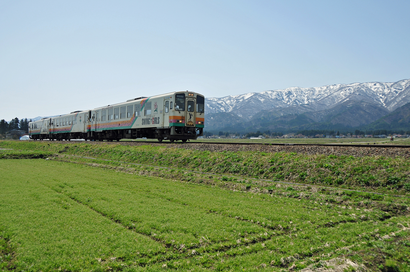
Type Kiha 48 "Kazekko" goes through Yamagata Railway

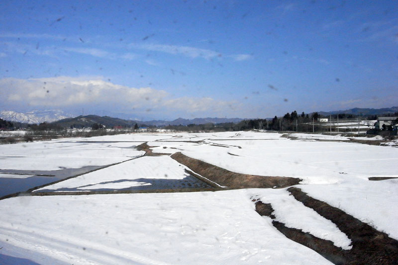
フラワー長井線 池黒辺り
Spring at Yamagata Railway

Sakura@Nagai 4
フラワー長井線 今泉駅辺り
所有照片-2293
蔵王を望む
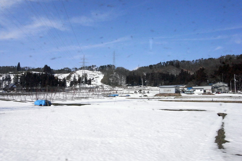
フラワー長井線 和田辺り
フラワー長井線 西大塚駅辺り
フラワー長井線 梨郷駅辺り
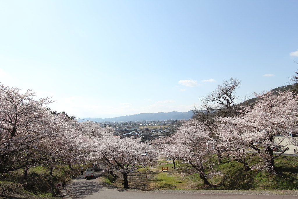
烏帽子山千本桜
Topographic Map of Shirataka, Nishiokitama District, Yamagata Prefecture, Japan
Find elevation by address:

Places in Shirataka, Nishiokitama District, Yamagata Prefecture, Japan:
Places near Shirataka, Nishiokitama District, Yamagata Prefecture, Japan:
Takaoka, Shirataka-machi, Nishiokitama-gun, Yamagata-ken -, Japan
Nagai
協同薬品工業長井工場
Teraizumi, Nagai-shi, Yamagata-ken -, Japan
番外地
Asahi
Nanyo
28-10 Wakasagōya, Nanyō-shi, Yamagata-ken -, Japan
Hirano
Higashiokitama District
Kannoyama
Kaminoyama
Higashimurayama District
Iide
Sawaguchi, Ōe-machi, Nishimurayama-gun, Yamagata-ken -, Japan
3 Motojonai
Kaminoyama-jo Castle Ruins
Kawanishi
3 Chome-1-13 Midorigaoka, Yamanobe-machi, Higashimurayama-gun, Yamagata-ken -, Japan
Mount Asahi
Recent Searches:
- Elevation of Corso Fratelli Cairoli, 35, Macerata MC, Italy
- Elevation of Tallevast Rd, Sarasota, FL, USA
- Elevation of 4th St E, Sonoma, CA, USA
- Elevation of Black Hollow Rd, Pennsdale, PA, USA
- Elevation of Oakland Ave, Williamsport, PA, USA
- Elevation of Pedrógão Grande, Portugal
- Elevation of Klee Dr, Martinsburg, WV, USA
- Elevation of Via Roma, Pieranica CR, Italy
- Elevation of Tavkvetili Mountain, Georgia
- Elevation of Hartfords Bluff Cir, Mt Pleasant, SC, USA