Elevation of 28-10 Wakasagōya, Nanyō-shi, Yamagata-ken -, Japan
Location: Japan > Yamagata Prefecture > Nanyo >
Longitude: 140.148436
Latitude: 38.0504916
Elevation: 224m / 735feet
Barometric Pressure: 99KPa
Elevation Map:
Satellite Map:
Related Photos:
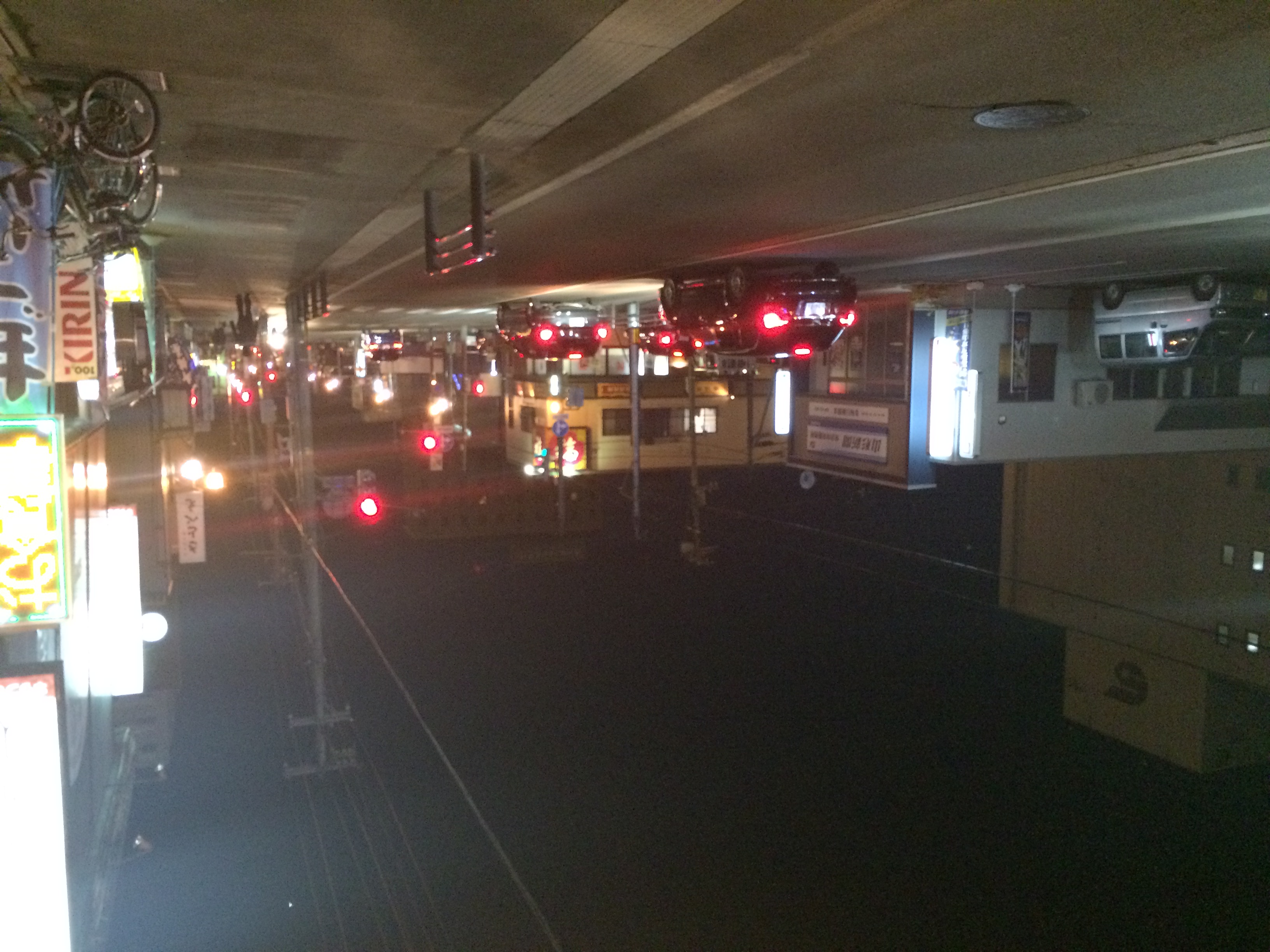
Yonezawa Night View
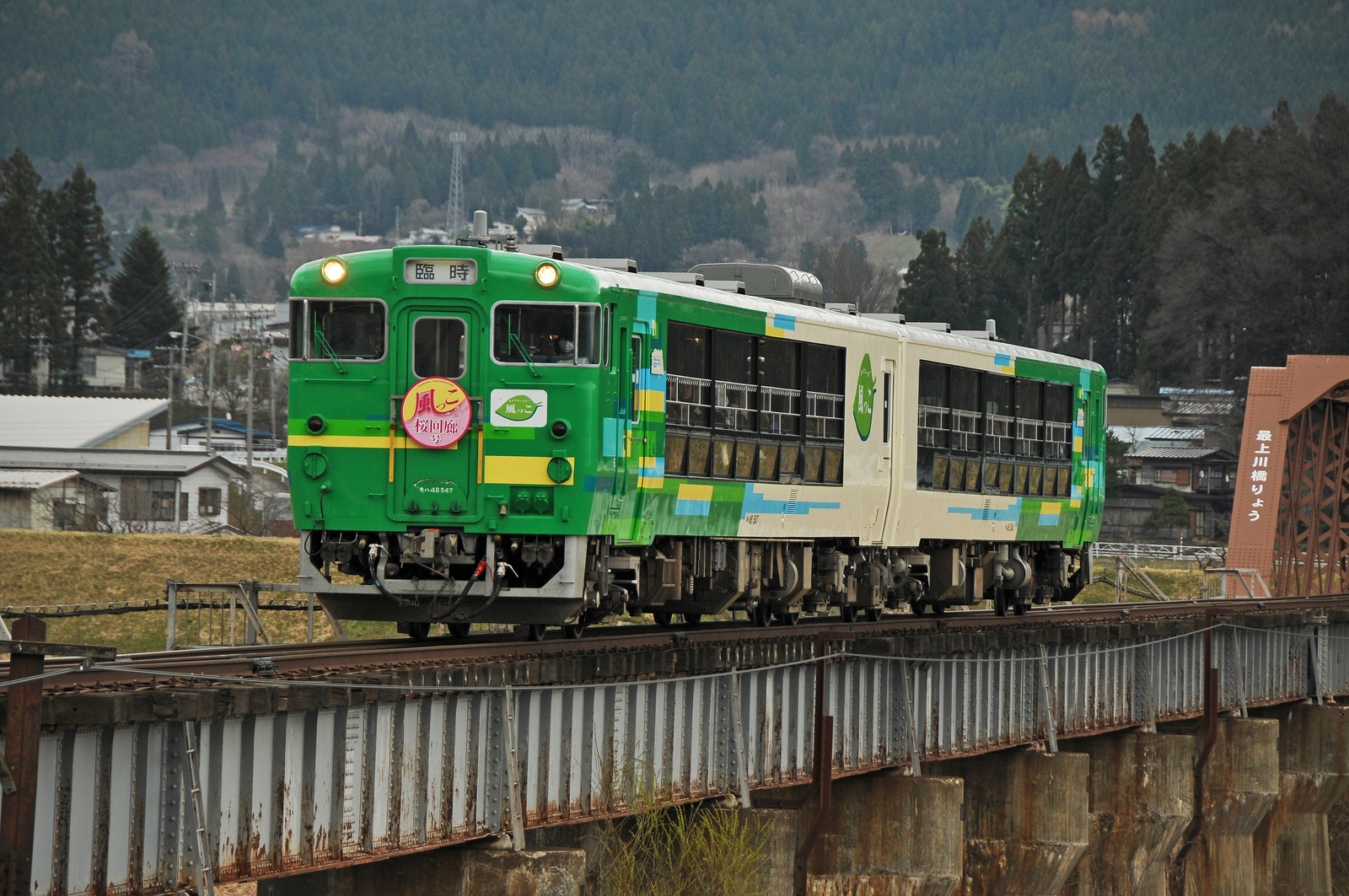
Type Kiha 48 "View Coaster Kazekko"
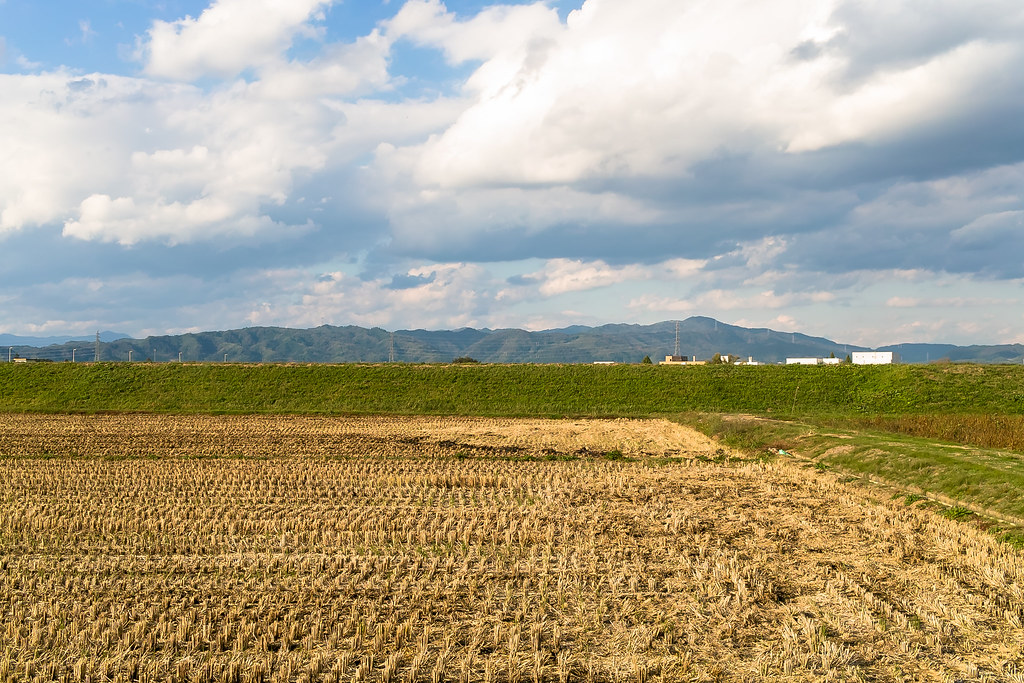
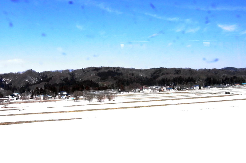
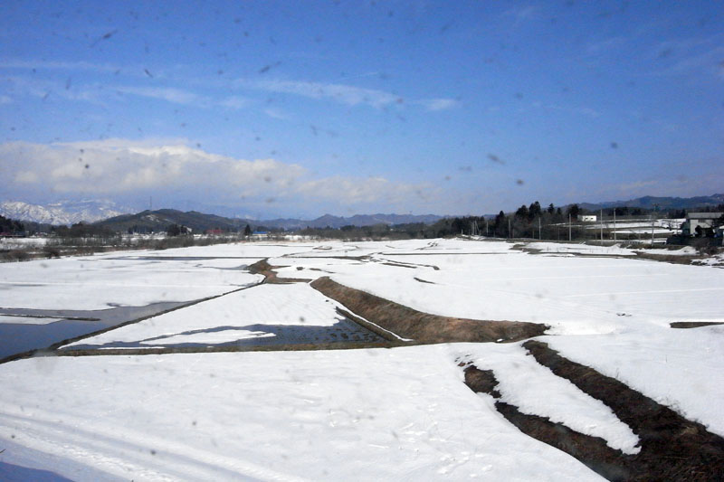
Rural landscape 1
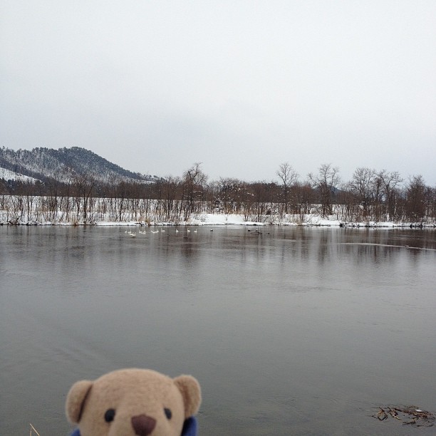
白鳥がいましたね。
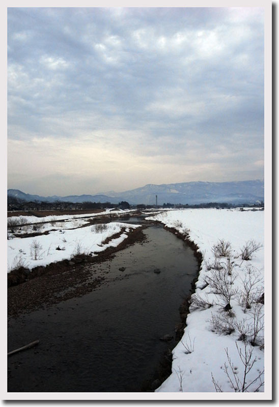
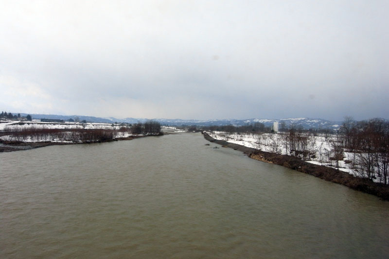
Mogami River
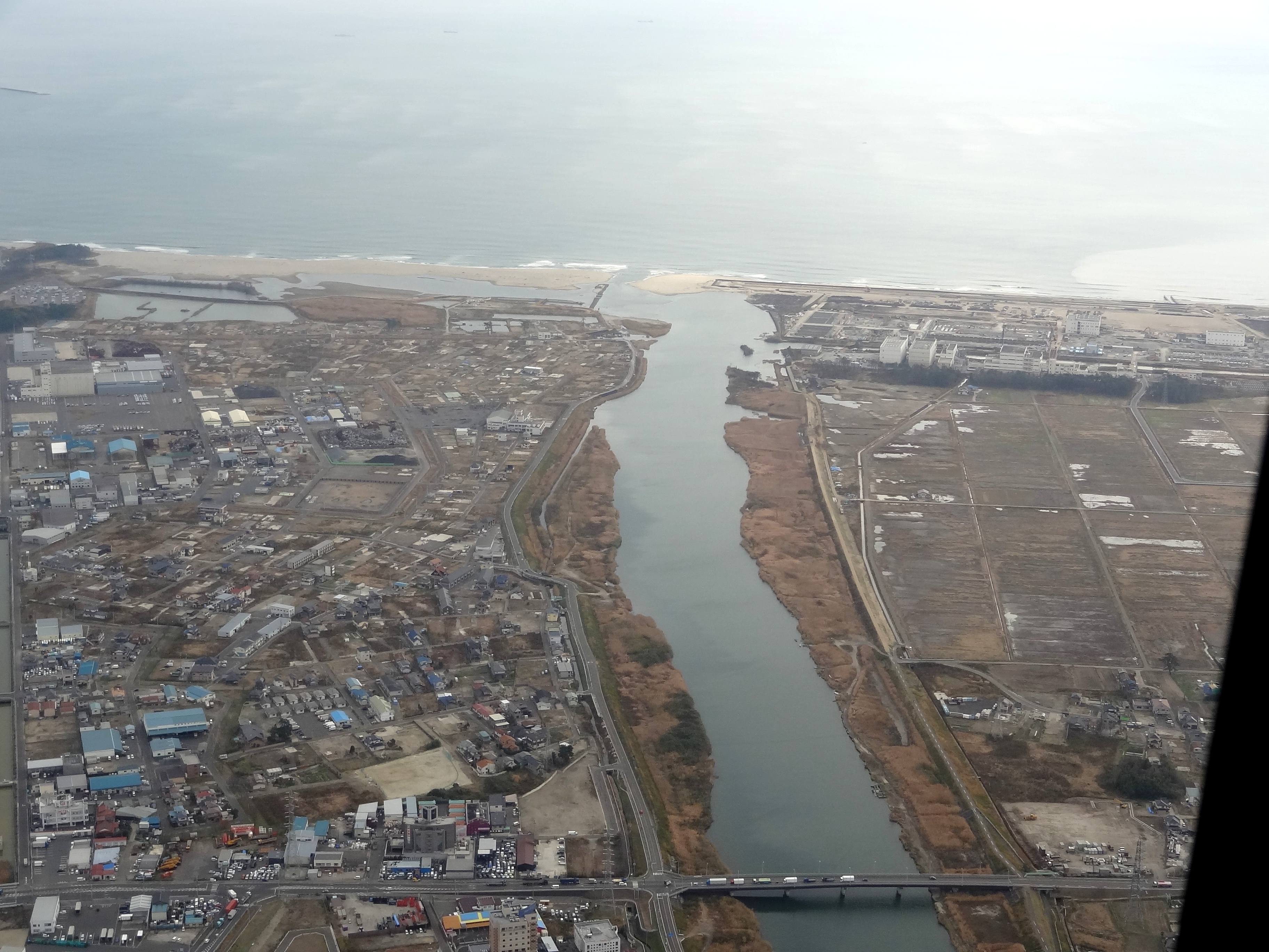
七北田川・蒲生海岸@陸上自衛隊UH-1

井土浦・名取川@陸上自衛隊UH-1
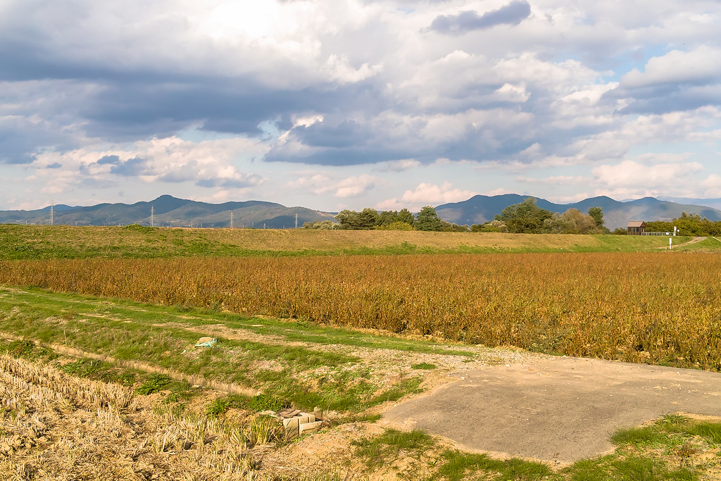
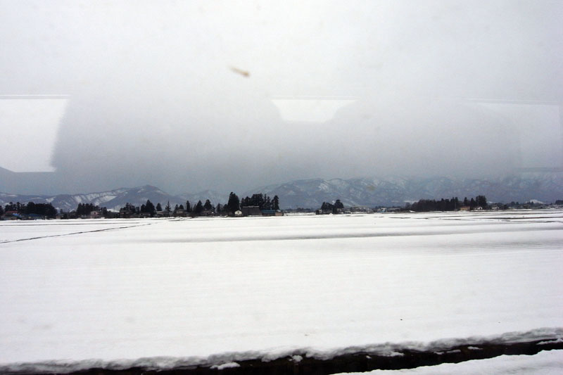
Rural landscape 2
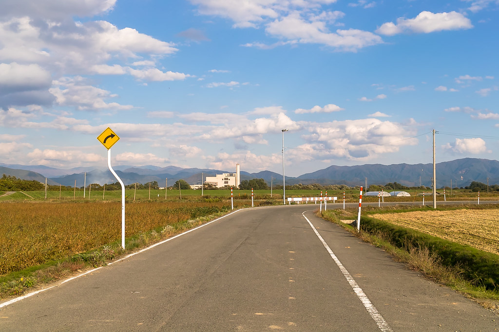
Rural landscape 3
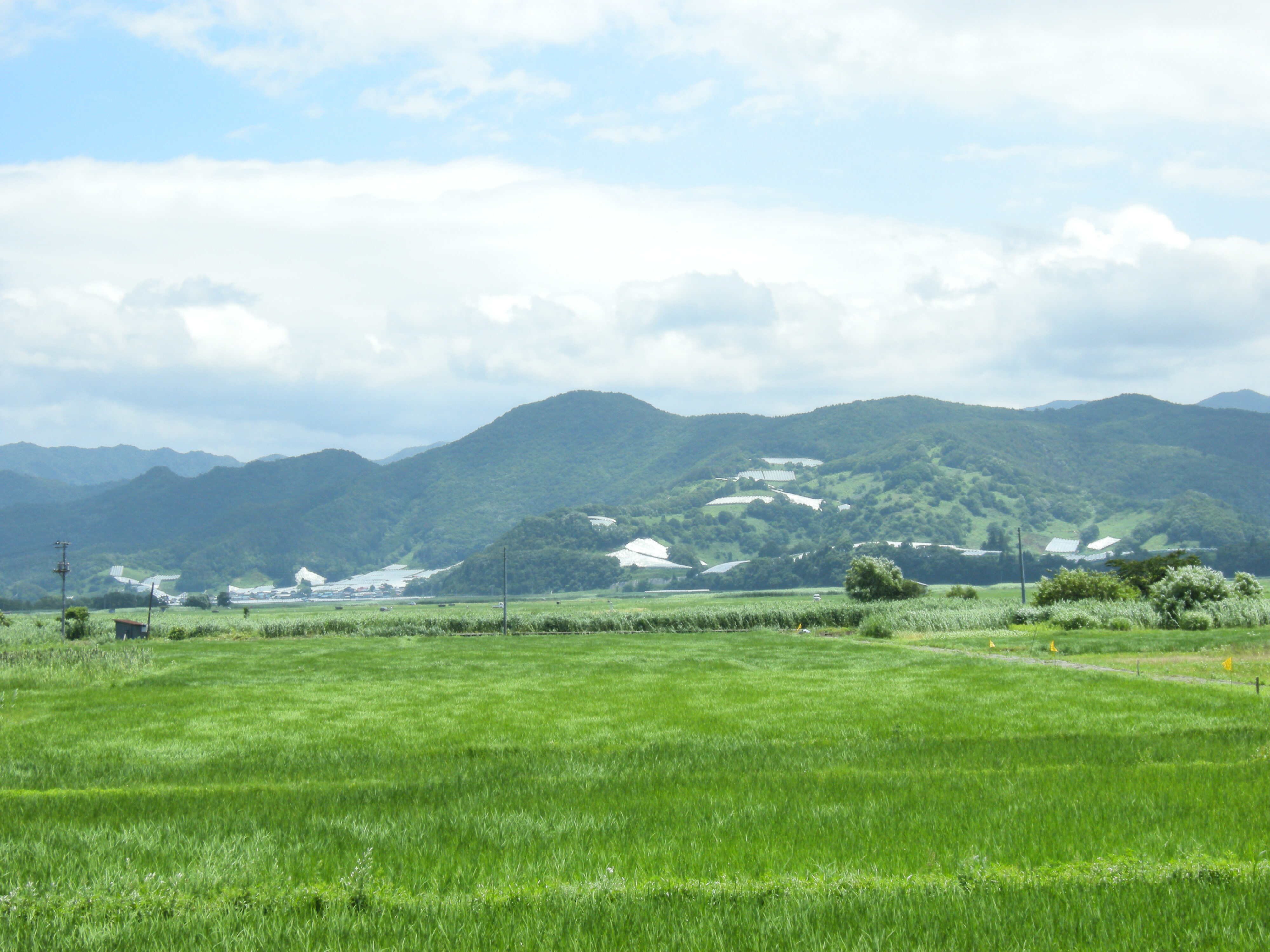
Yamagata Landscape 2008 Summer
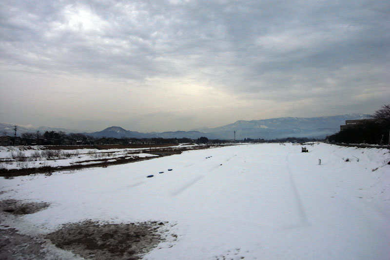
Mogami River
所有照片-2293
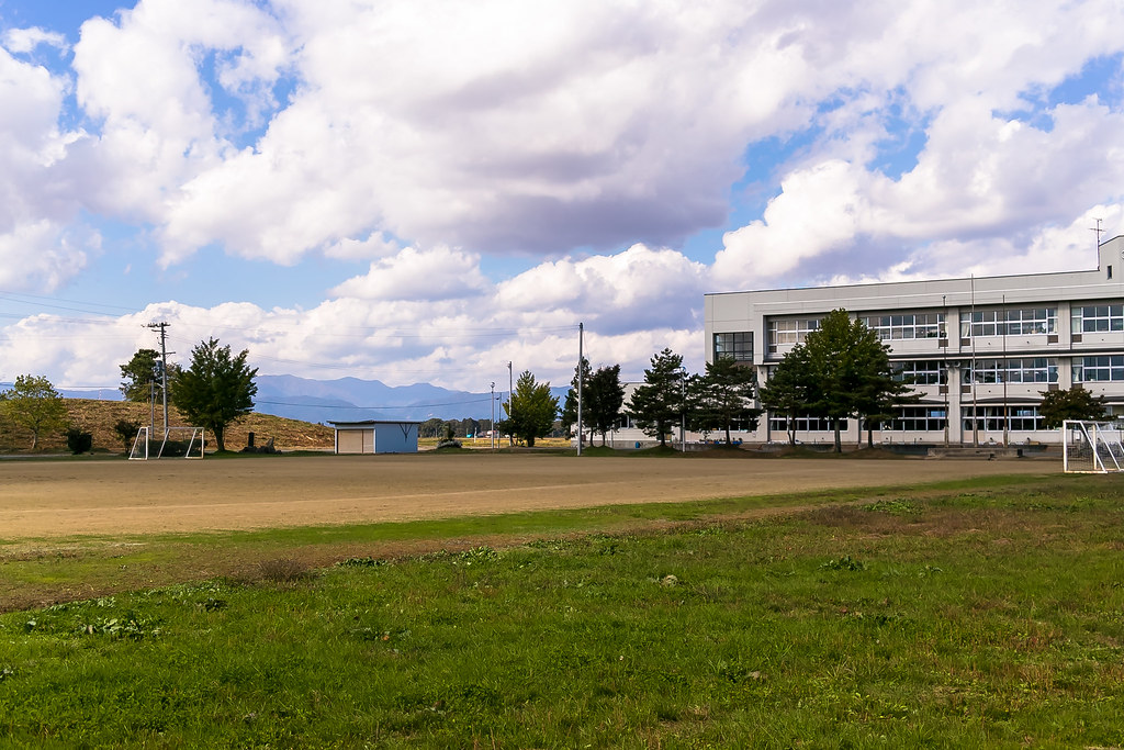
a schoolyard 1
フラワー長井線 和田辺り
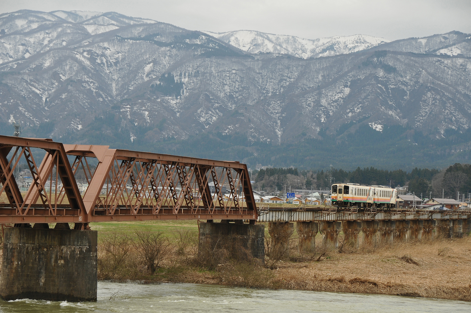
Yamagata railway goes over Mogami river bridge
フラワー長井線 時庭駅辺り
フラワー長井線 今泉駅辺り
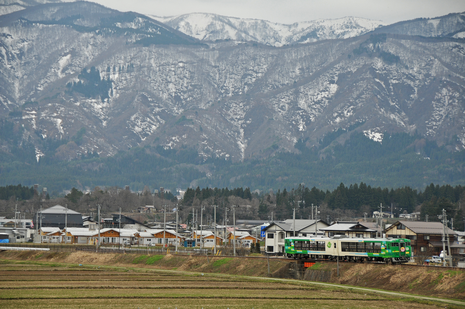
Type Kiha 48 "Kazekko" goes through Yamagata Railway
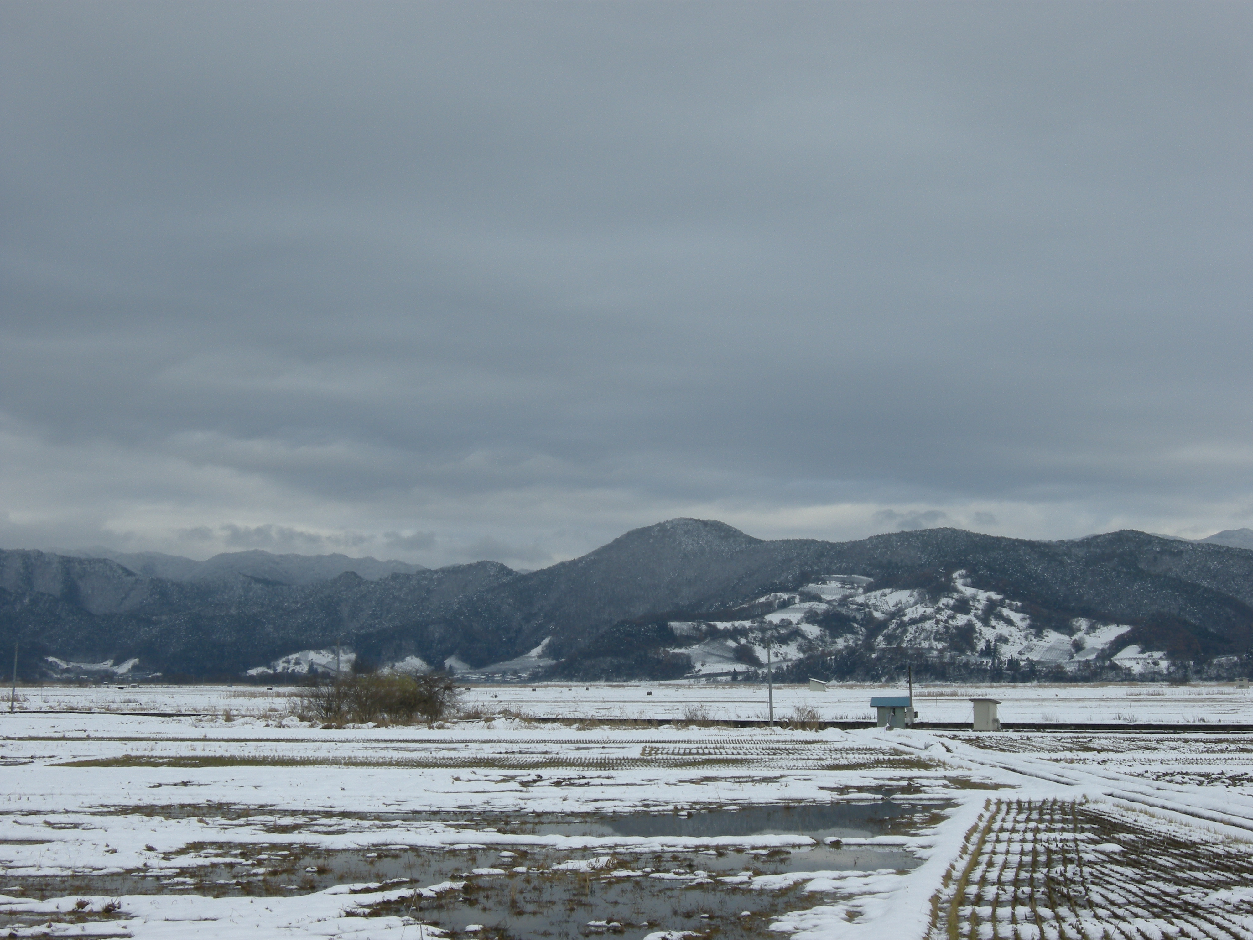
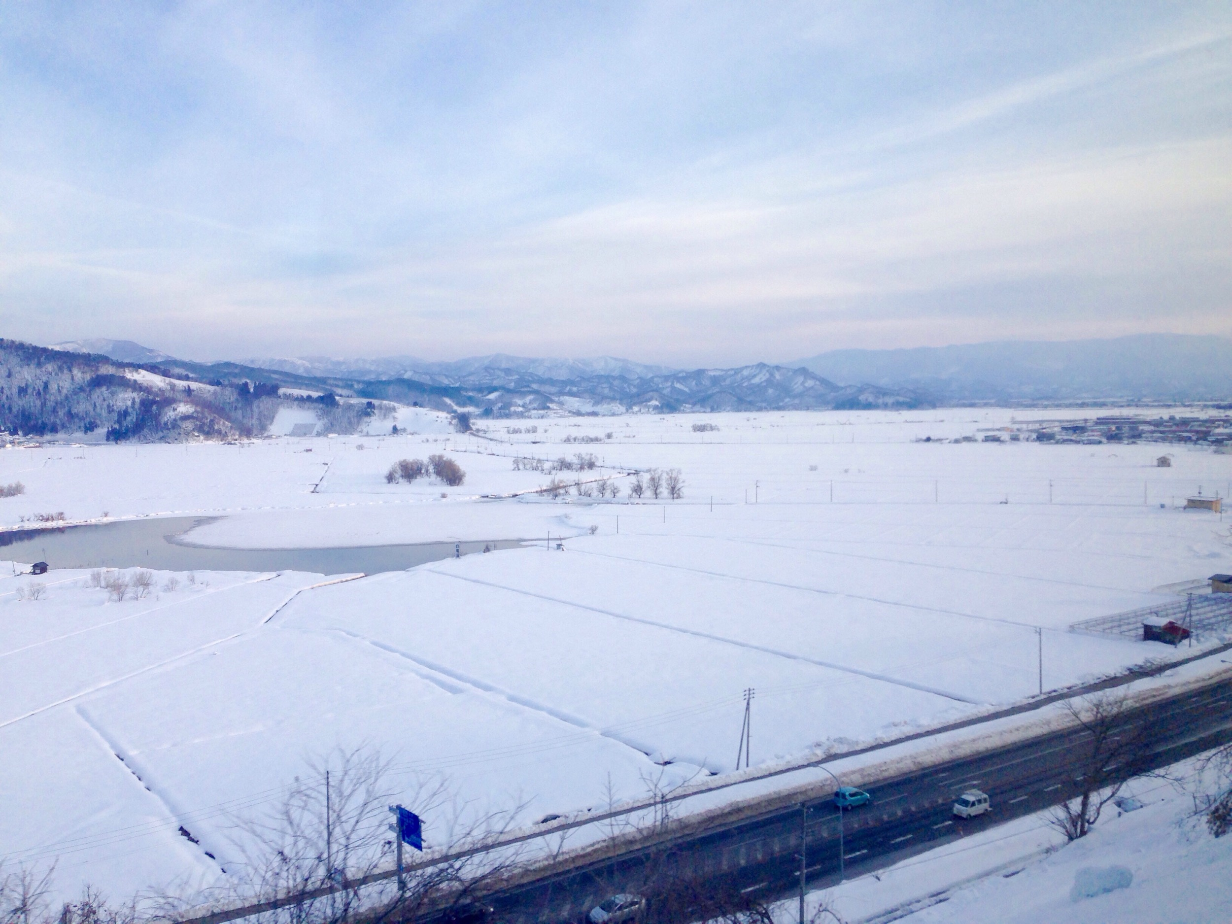
Yamagata Landscape 2008 Winter
フラワー長井線 西大塚駅辺り
Topographic Map of 28-10 Wakasagōya, Nanyō-shi, Yamagata-ken -, Japan
Find elevation by address:

Places near 28-10 Wakasagōya, Nanyō-shi, Yamagata-ken -, Japan:
Nanyo
Takahata
Takahata, Takahata-machi, Higashiokitama-gun, Yamagata-ken -, Japan
Higashiokitama District
Kawanishi
Nagai
協同薬品工業長井工場
Shirataka
Kamiokuda, Kawanishi-machi, Higashiokitama-gun, Yamagata-ken -, Japan
Teraizumi, Nagai-shi, Yamagata-ken -, Japan
Kaminoyama
Iide
Miyanowaki, Kaminoyama-shi, Yamagata-ken -, Japan
3 Motojonai
Kaminoyama-jo Castle Ruins
Takaoka, Shirataka-machi, Nishiokitama-gun, Yamagata-ken -, Japan
Tenoko, Iide-machi, Nishiokitama-gun, Yamagata-ken -, Japan
Hirano
Kannoyama
Asahi
Recent Searches:
- Elevation of Corso Fratelli Cairoli, 35, Macerata MC, Italy
- Elevation of Tallevast Rd, Sarasota, FL, USA
- Elevation of 4th St E, Sonoma, CA, USA
- Elevation of Black Hollow Rd, Pennsdale, PA, USA
- Elevation of Oakland Ave, Williamsport, PA, USA
- Elevation of Pedrógão Grande, Portugal
- Elevation of Klee Dr, Martinsburg, WV, USA
- Elevation of Via Roma, Pieranica CR, Italy
- Elevation of Tavkvetili Mountain, Georgia
- Elevation of Hartfords Bluff Cir, Mt Pleasant, SC, USA