Elevation of Hirano, Nagai, Yamagata Prefecture -, Japan
Location: Japan > Yamagata Prefecture > Nagai >
Longitude: 139.954854
Latitude: 38.1023777
Elevation: 397m / 1302feet
Barometric Pressure: 97KPa
Elevation Map:
Satellite Map:
Related Photos:
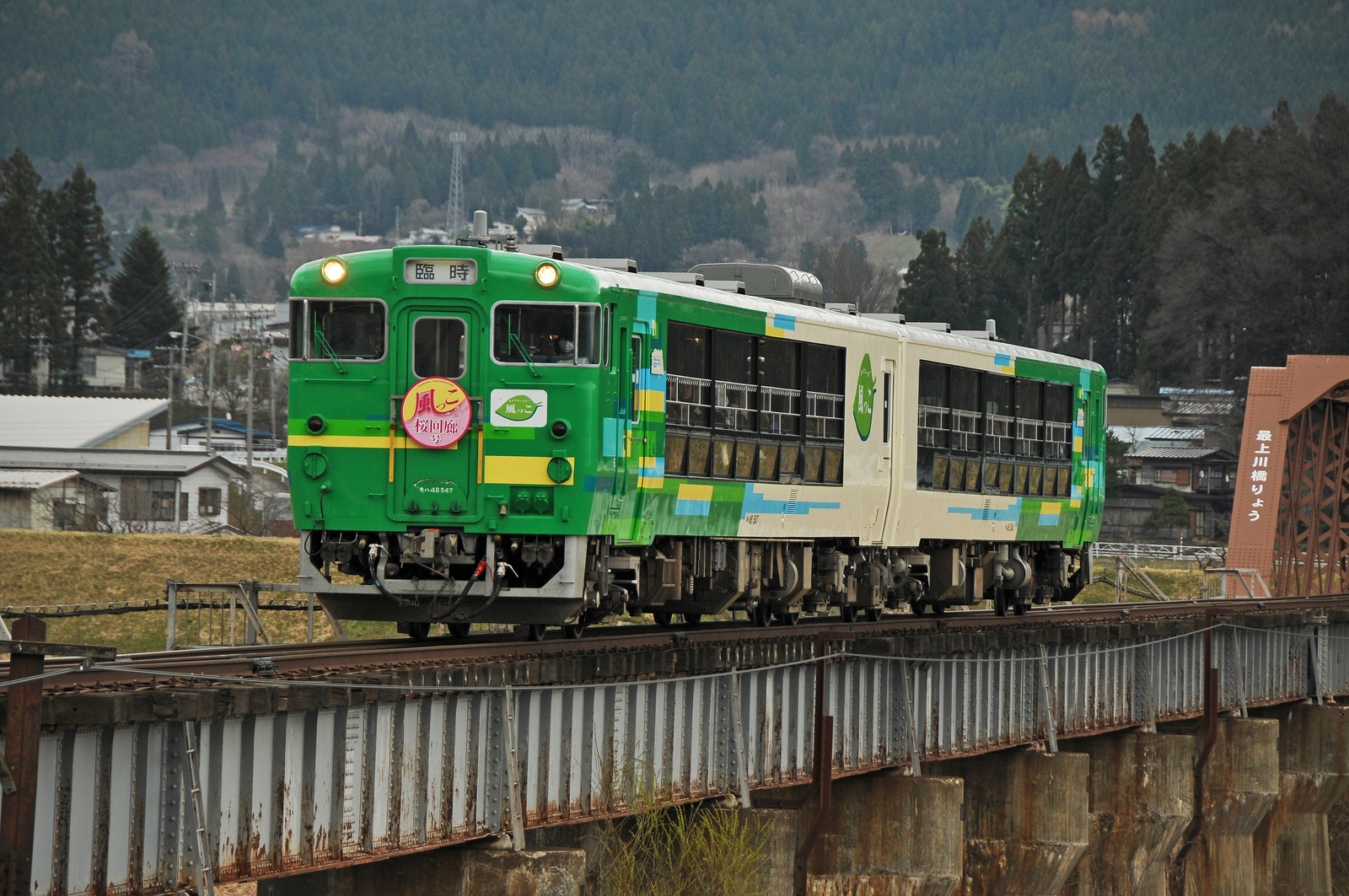
Type Kiha 48 "View Coaster Kazekko"
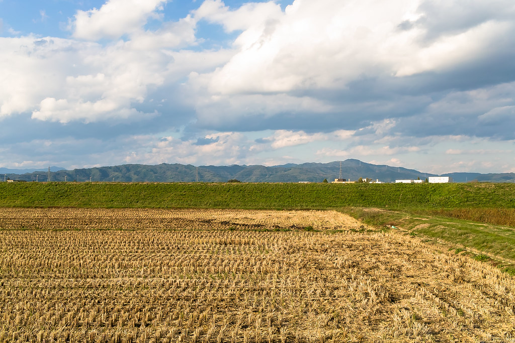
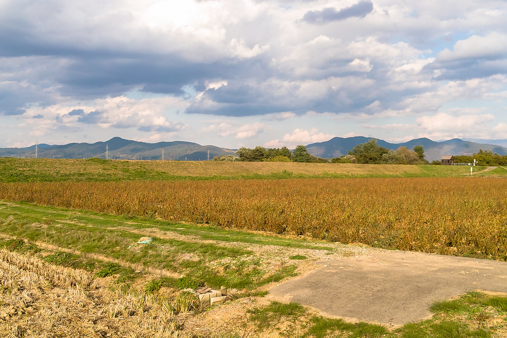
Rural landscape 1
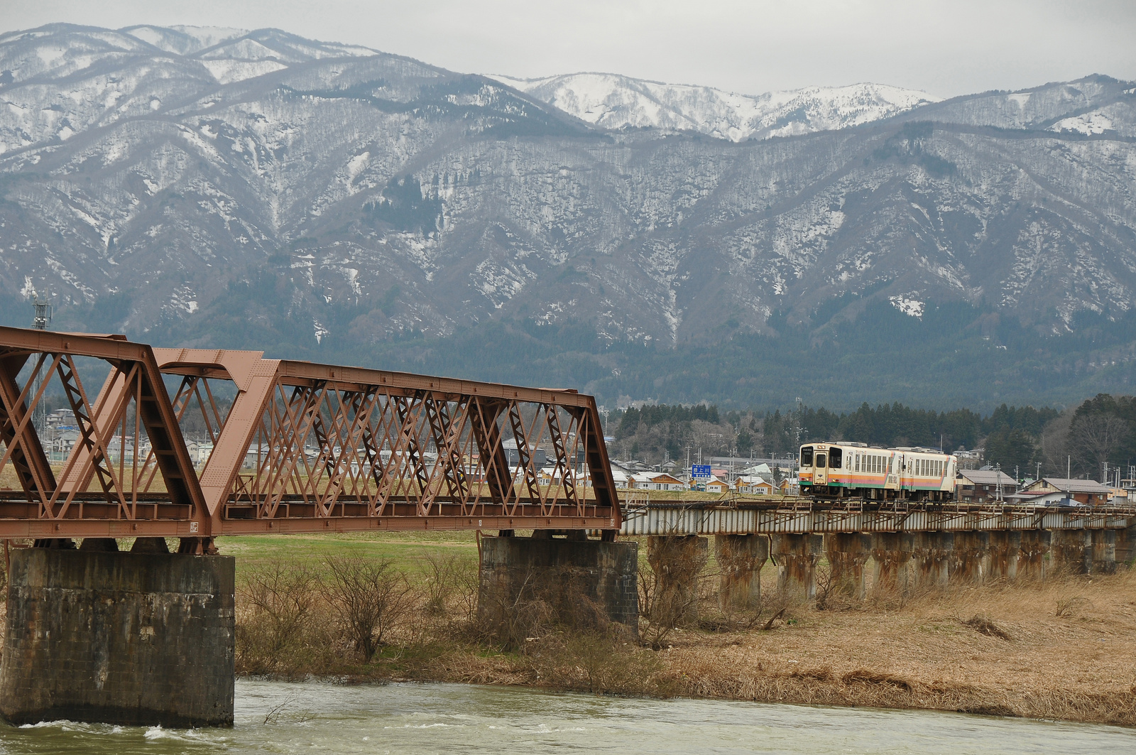
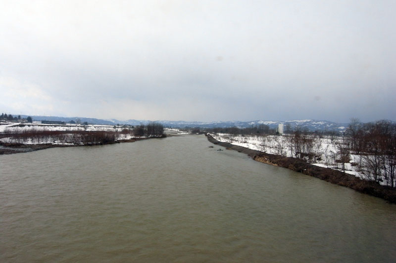
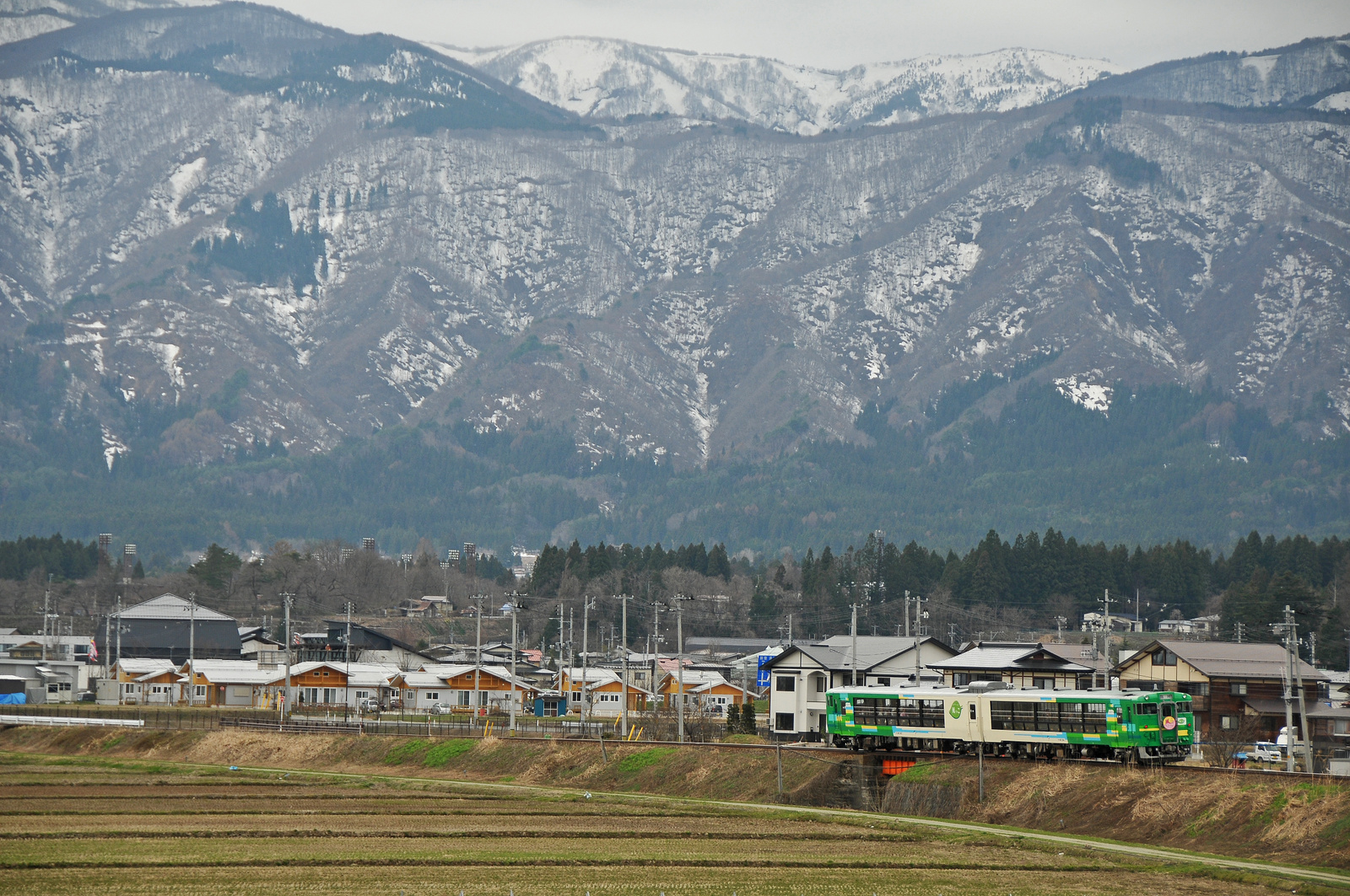
Yamagata railway goes over Mogami river bridge

井土浦・名取川@陸上自衛隊UH-1
七北田川・蒲生海岸@陸上自衛隊UH-1
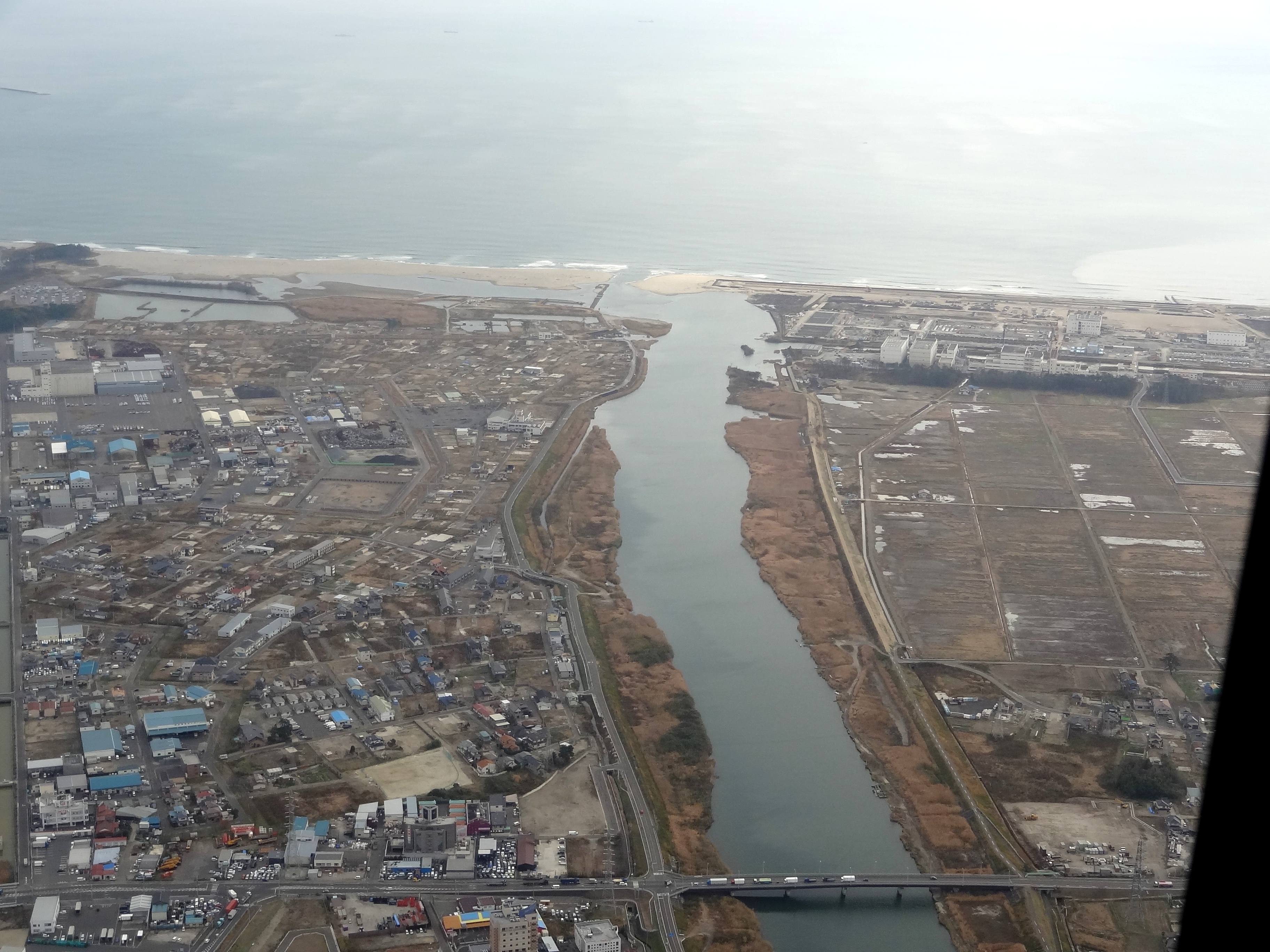
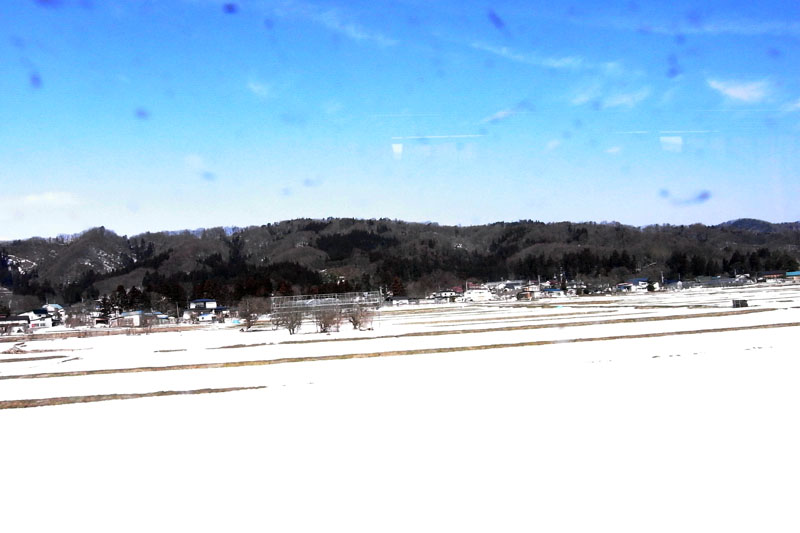
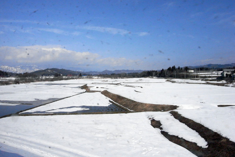
Rural landscape 2
フラワー長井線 今泉駅辺り
Rural landscape 3
フラワー長井線 和田辺り
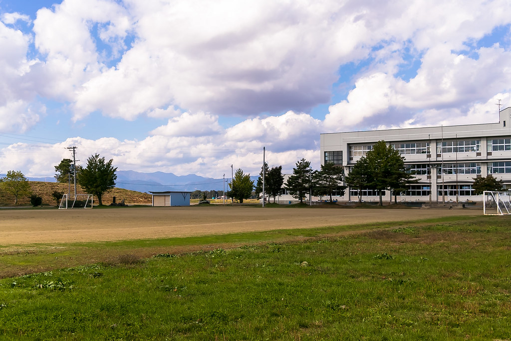
a schoolyard 1
Type Kiha 48 "Kazekko" goes through Yamagata Railway
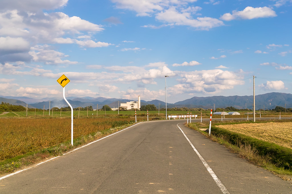
フラワー長井線 西大塚駅辺り
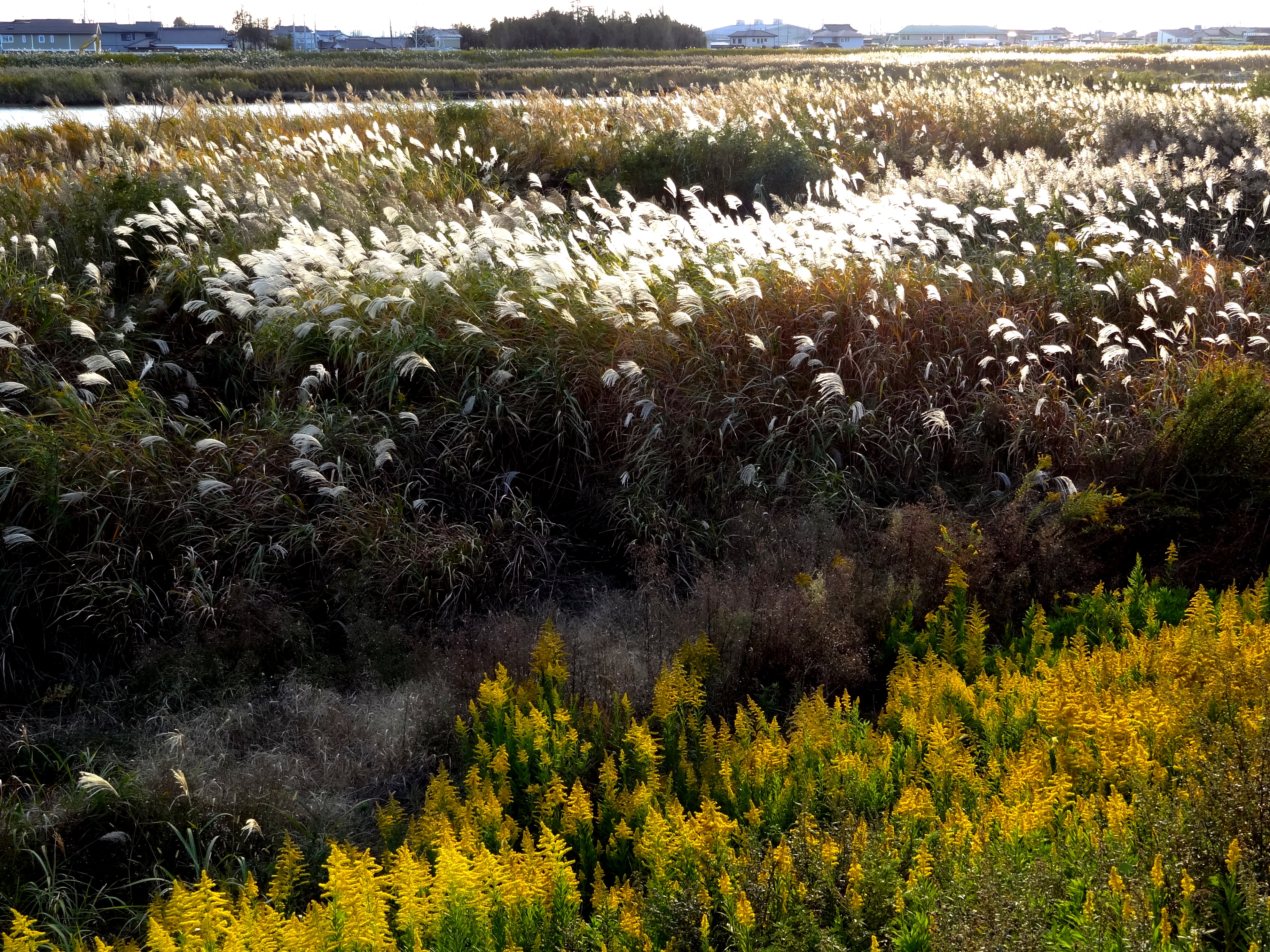
七北田川のススキ@仙台市宮城野区蒲生

フラワー長井線 池黒辺り
Topographic Map of Hirano, Nagai, Yamagata Prefecture -, Japan
Find elevation by address:

Places in Hirano, Nagai, Yamagata Prefecture -, Japan:
Places near Hirano, Nagai, Yamagata Prefecture -, Japan:
Kannoyama
Teraizumi, Nagai-shi, Yamagata-ken -, Japan
Santaiyama
Iide
協同薬品工業長井工場
Nagai
Tenoko, Iide-machi, Nishiokitama-gun, Yamagata-ken -, Japan
Numazawa
Kawanishi
Nishiokitama District
Kamiokuda, Kawanishi-machi, Higashiokitama-gun, Yamagata-ken -, Japan
Higashiokitama District
Shirataka
Takaoka, Shirataka-machi, Nishiokitama-gun, Yamagata-ken -, Japan
Mount Asahi
Nanyo
番外地
28-10 Wakasagōya, Nanyō-shi, Yamagata-ken -, Japan
Oguni
Funato, Oguni-machi, Nishiokitama-gun, Yamagata-ken -, Japan
Recent Searches:
- Elevation of Corso Fratelli Cairoli, 35, Macerata MC, Italy
- Elevation of Tallevast Rd, Sarasota, FL, USA
- Elevation of 4th St E, Sonoma, CA, USA
- Elevation of Black Hollow Rd, Pennsdale, PA, USA
- Elevation of Oakland Ave, Williamsport, PA, USA
- Elevation of Pedrógão Grande, Portugal
- Elevation of Klee Dr, Martinsburg, WV, USA
- Elevation of Via Roma, Pieranica CR, Italy
- Elevation of Tavkvetili Mountain, Georgia
- Elevation of Hartfords Bluff Cir, Mt Pleasant, SC, USA