Elevation of Asahi, Nishimurayama District, Yamagata Prefecture, Japan
Location: Japan > Yamagata Prefecture > Nishimurayama District >
Longitude: 140.145925
Latitude: 38.2992478
Elevation: 164m / 538feet
Barometric Pressure: 99KPa
Elevation Map:
Satellite Map:
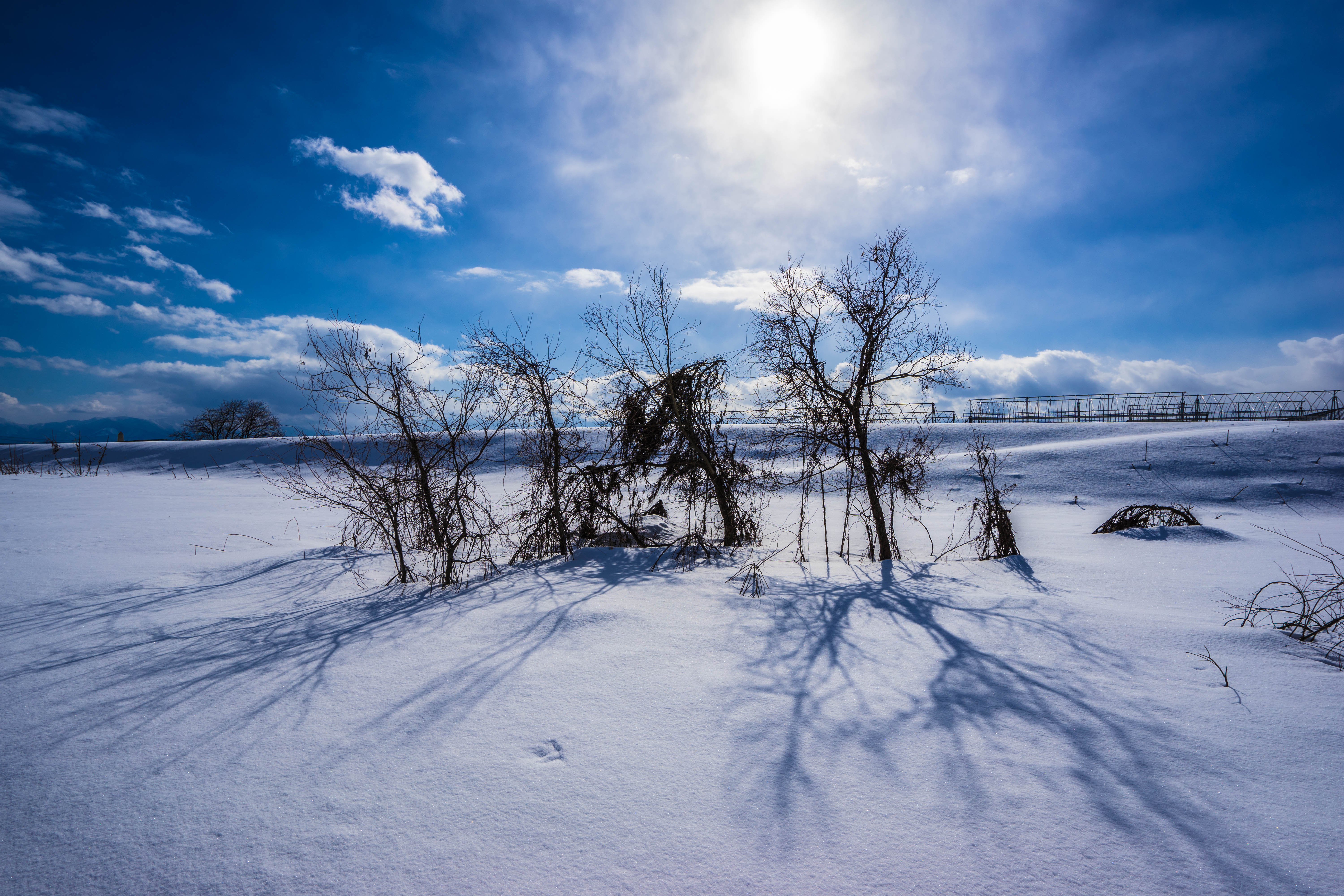
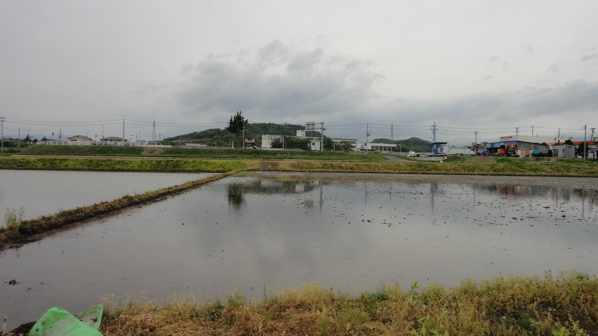
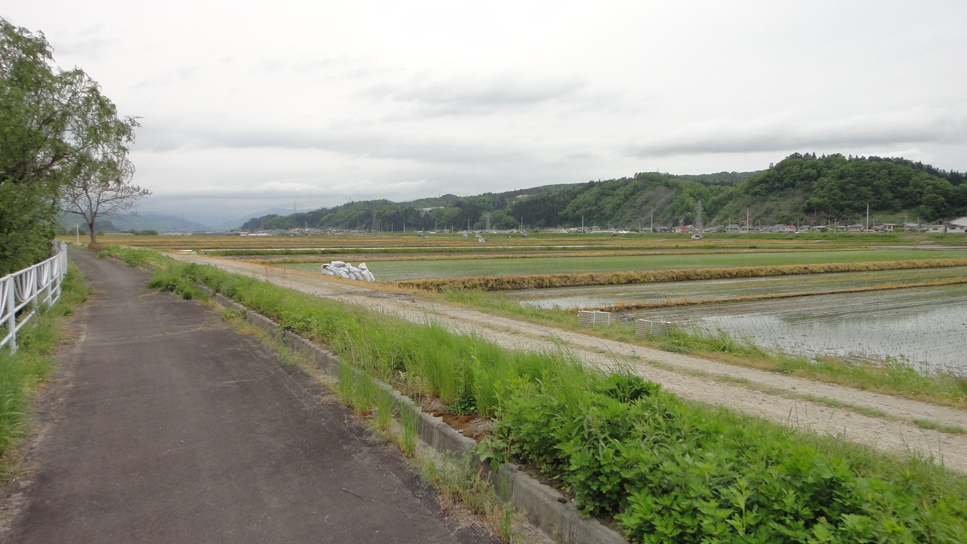
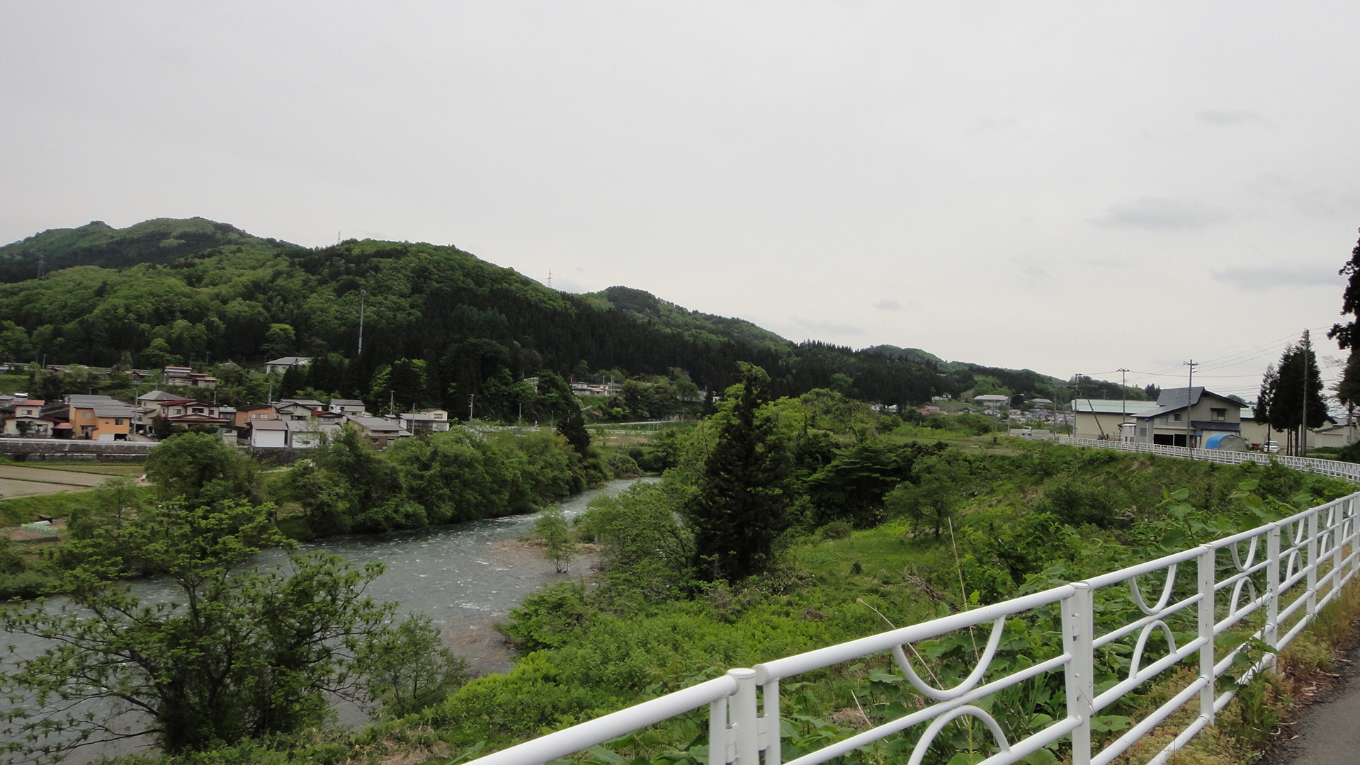
Related Photos:
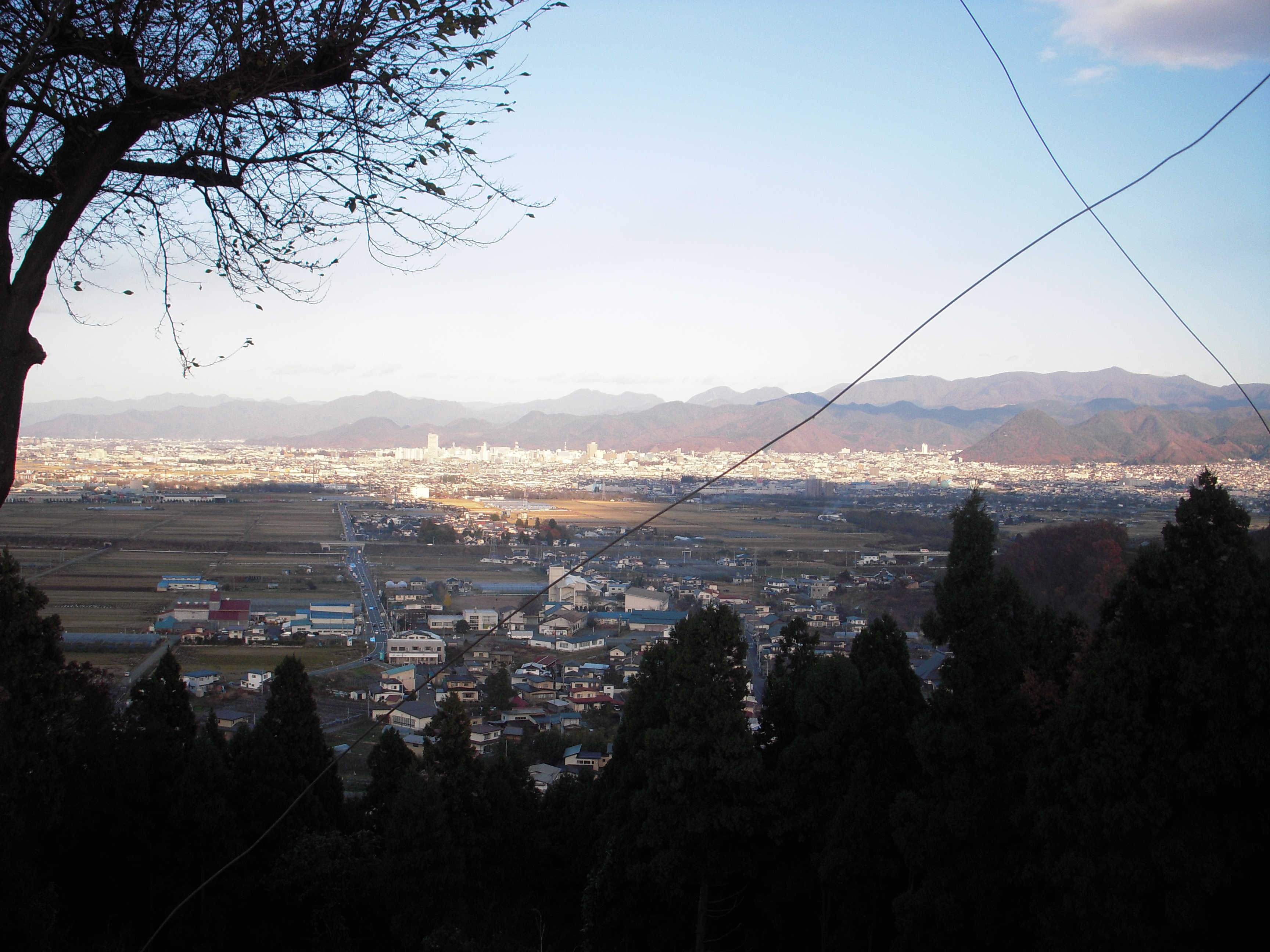
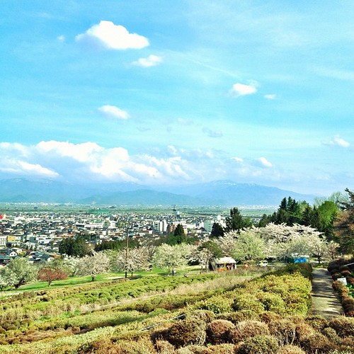
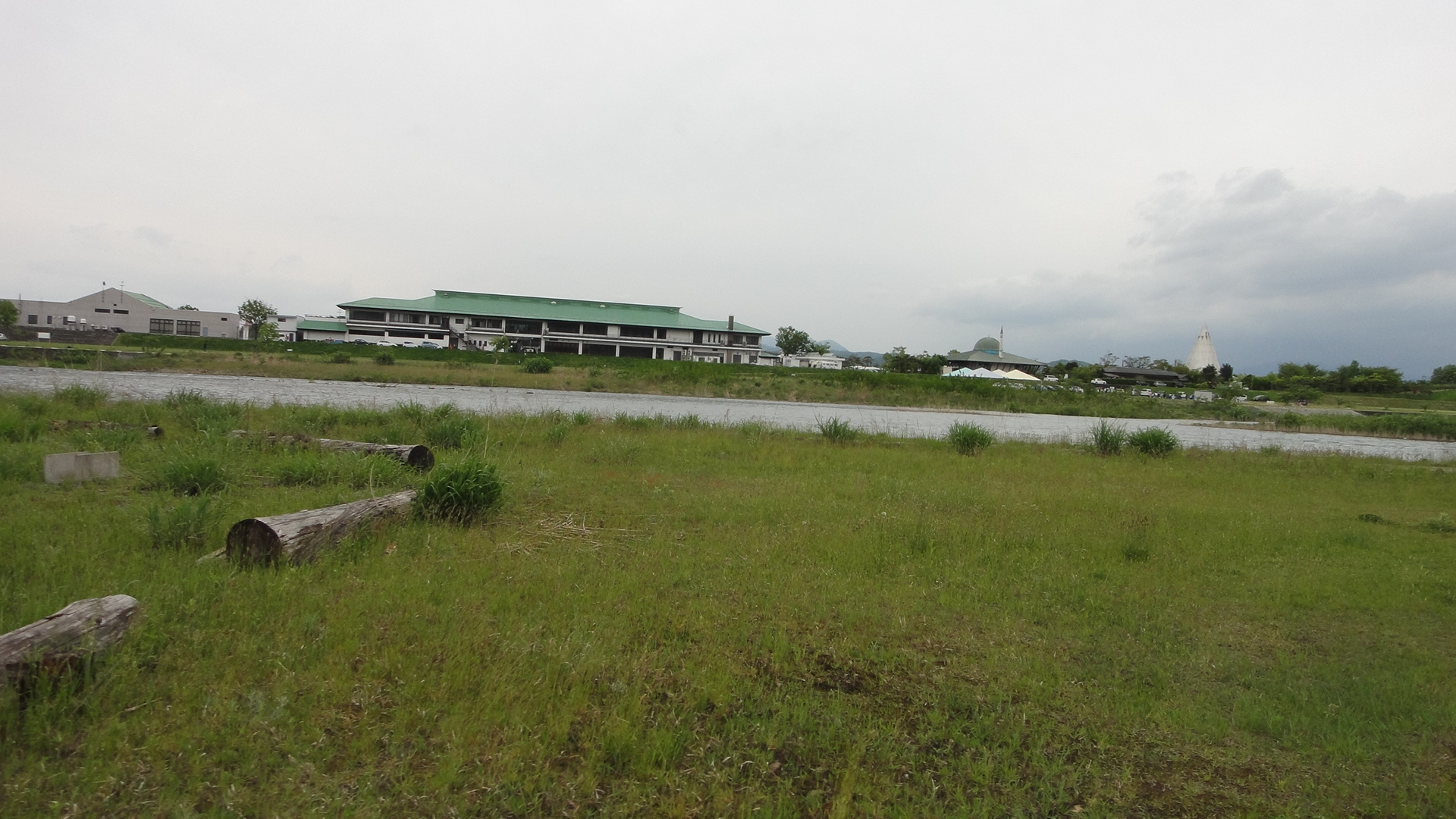
View of Yamagata city
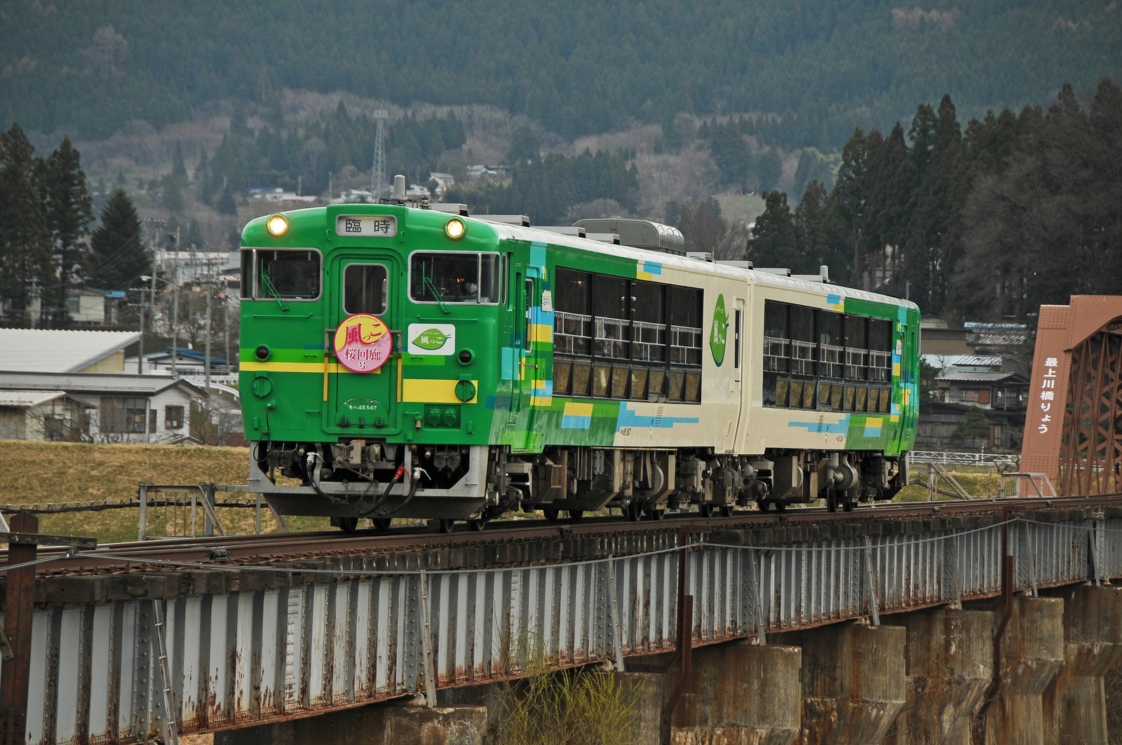
Type Kiha 48 "View Coaster Kazekko"
Good morning here from office ALBERO in Sagae, Yamagata.
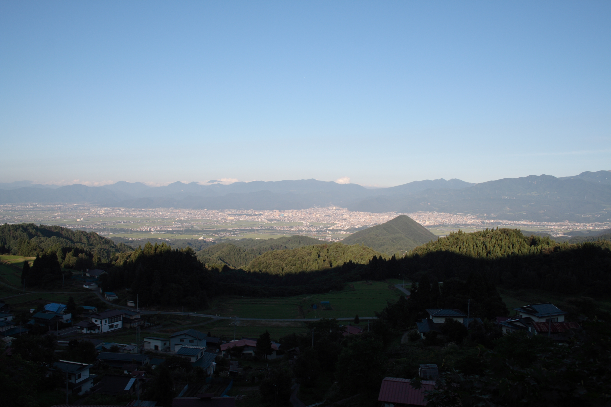
View from "FUREAI TENBOUDAI"
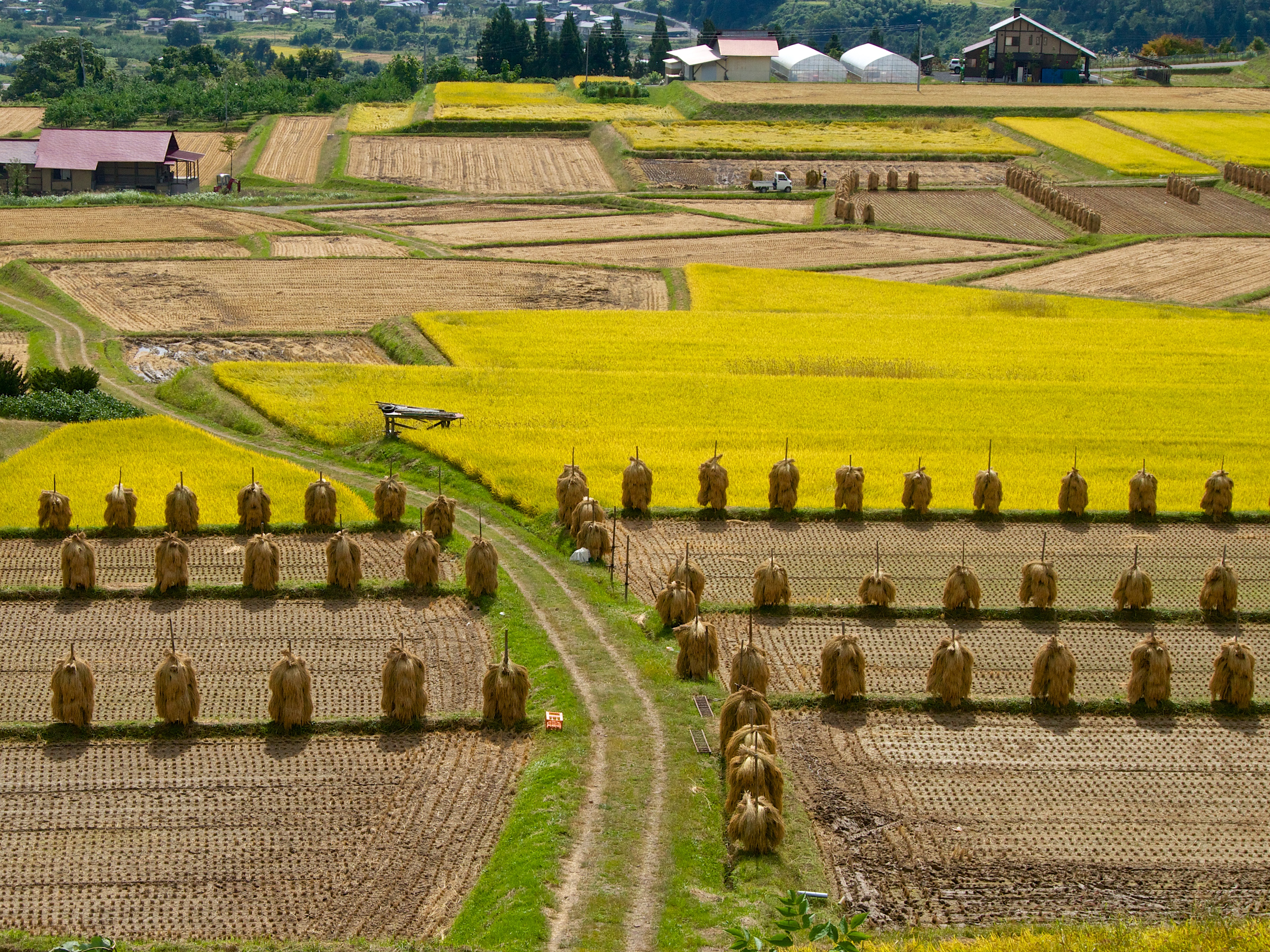
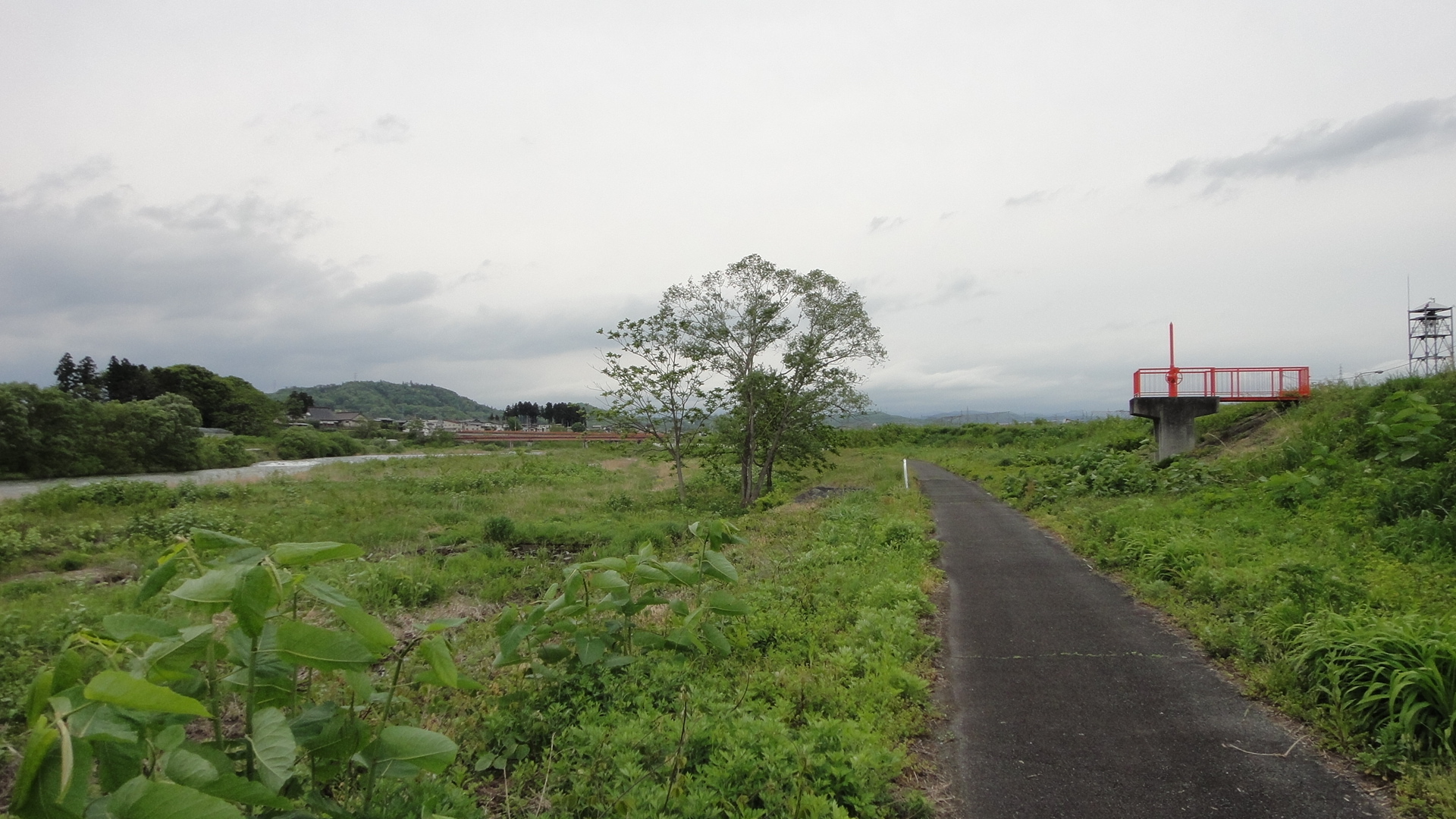
View of the countryside
rural footpath
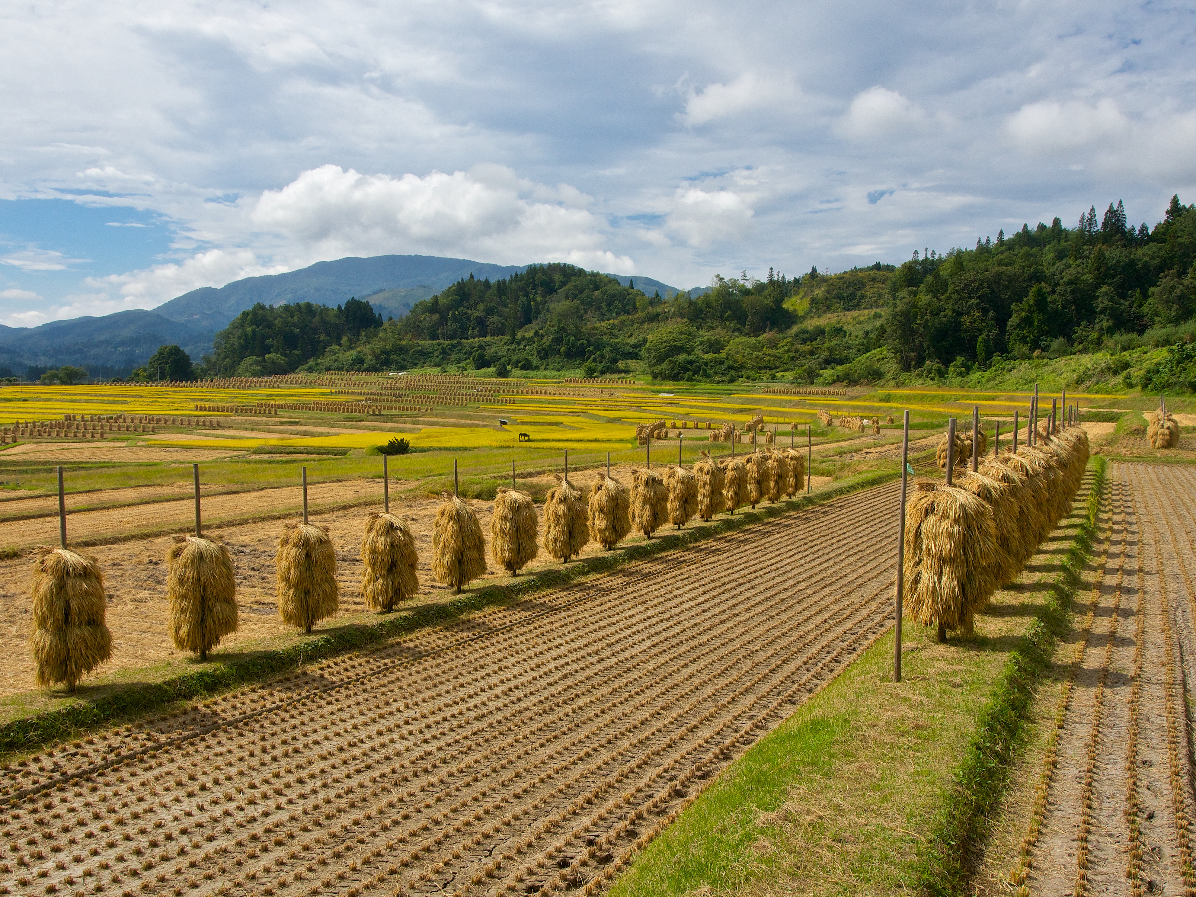
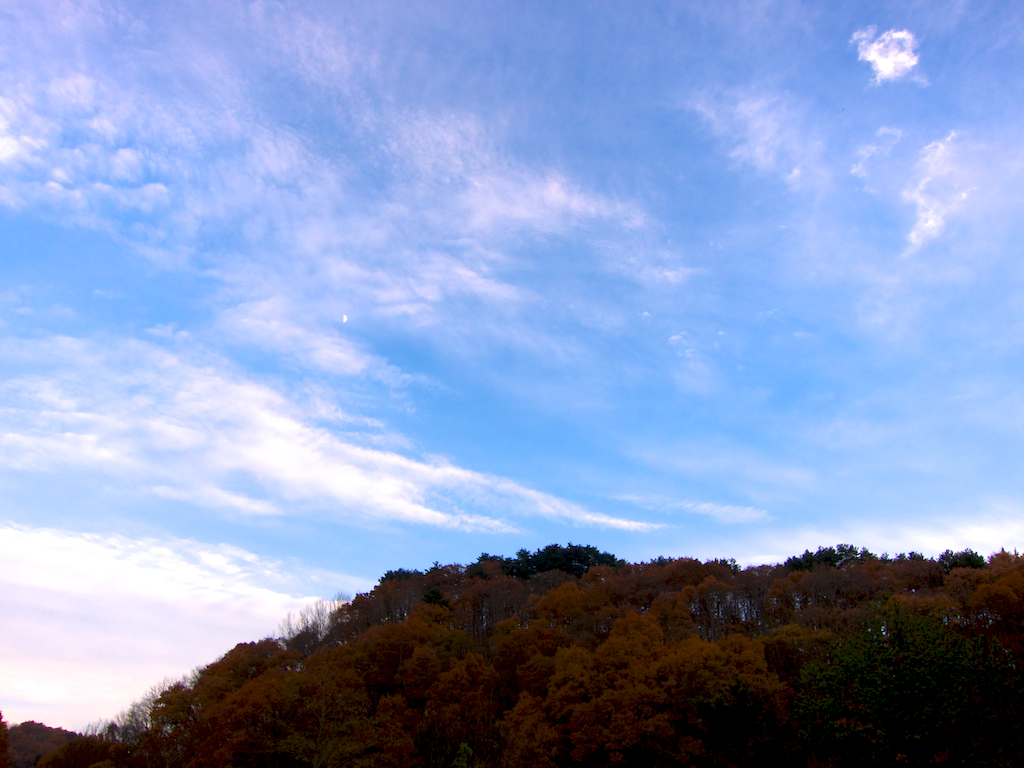
harvest season
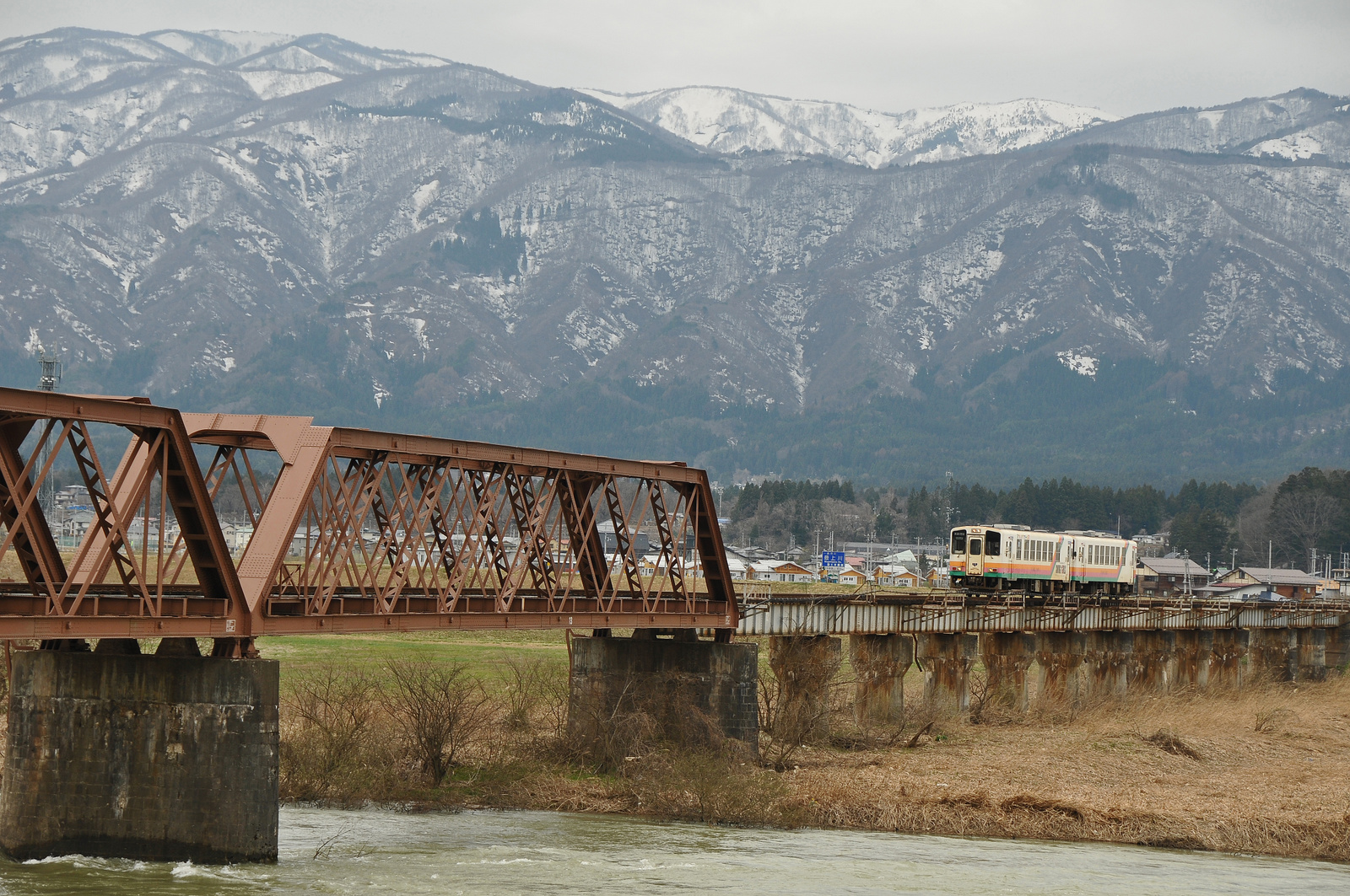
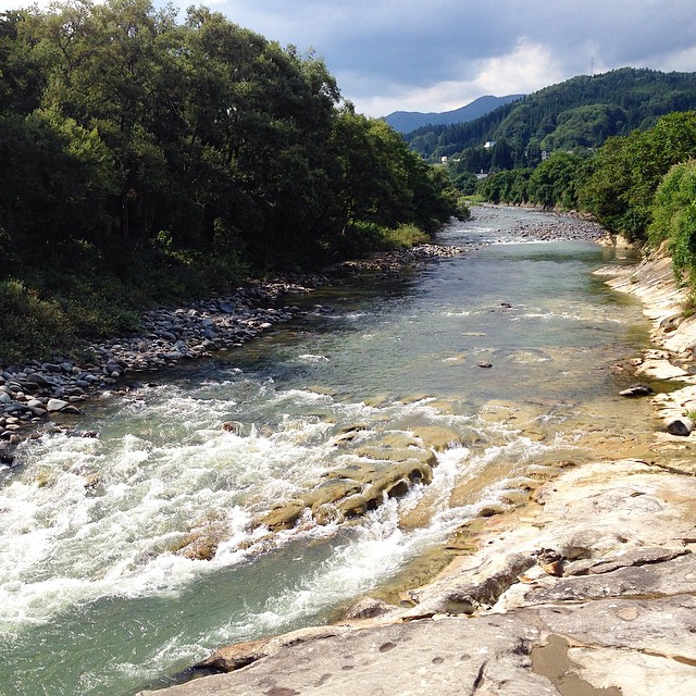
Yamagata railway goes over Mogami river bridge

019.県指定最上川ビューポイント(朝日町玉ノ井地区)
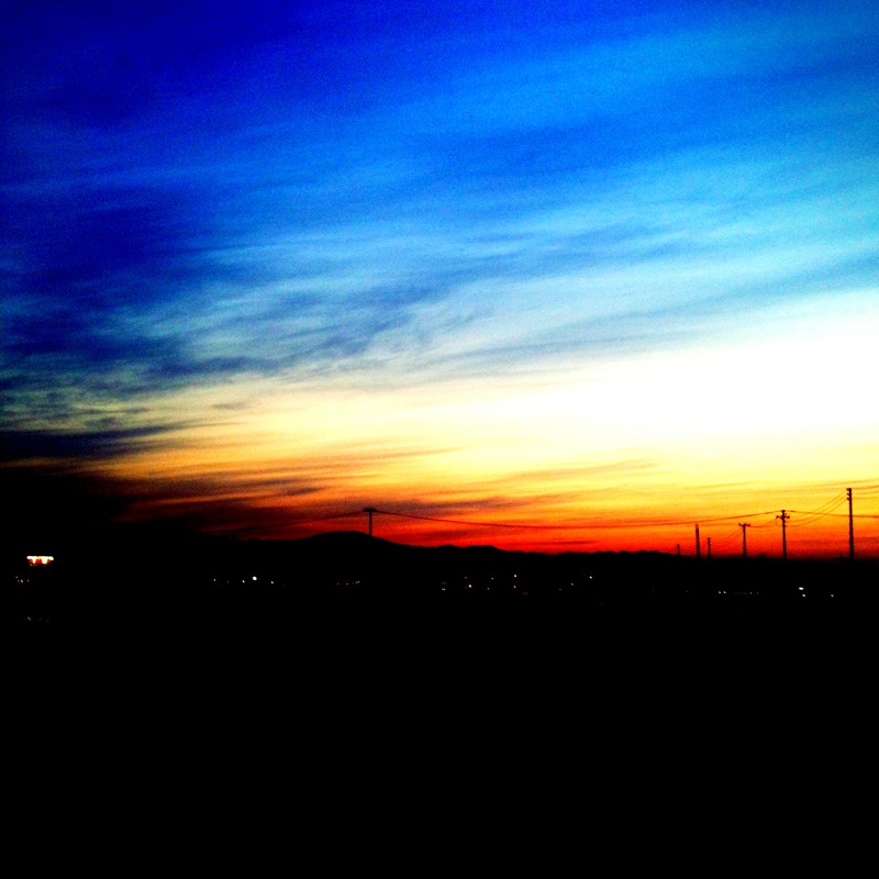
sky-20101114-02
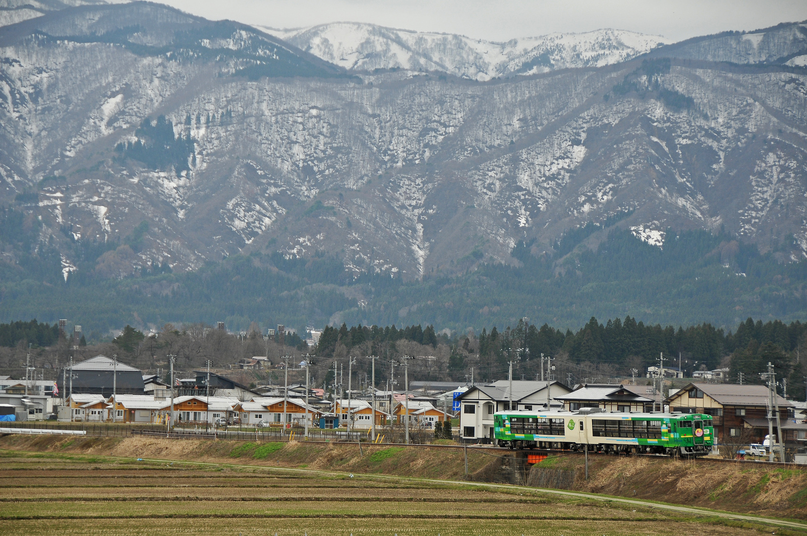
Type Kiha 48 "Kazekko" goes through Yamagata Railway
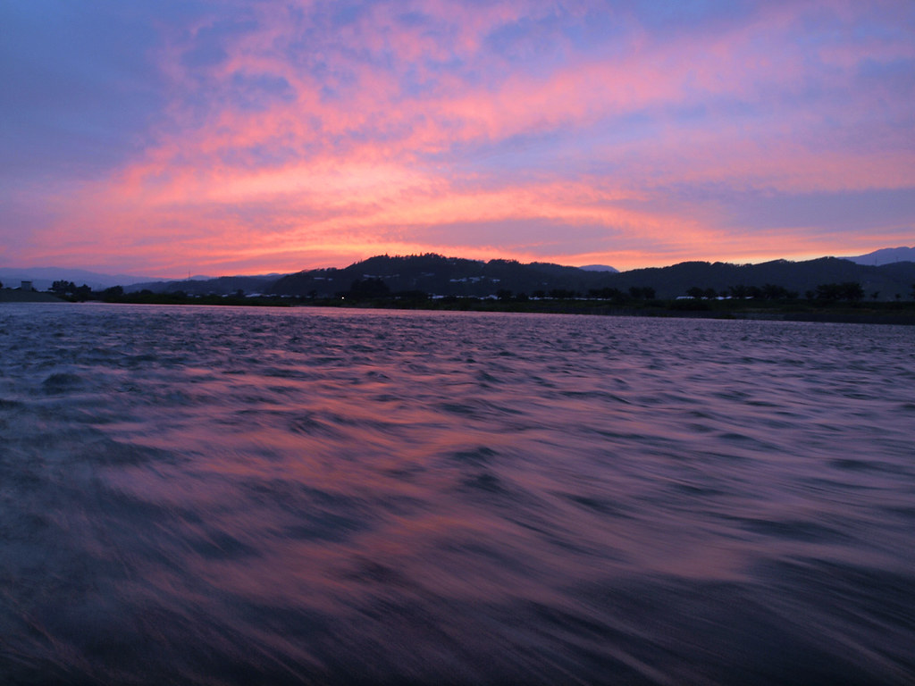
Riverside at sunset

Mogami river in spring
2012/05/26
DSC01215.jpg
DSC00020.JPG
DSC00052.JPG

DSC00061.JPG
DSC00103.JPG
川のそばで山菜料理。鮎の塩焼きに松茸の天ぷら、山菜入りの芋煮…どれも美味しかった〜
DSC00010.JPG
DSC00008.JPG
Topographic Map of Asahi, Nishimurayama District, Yamagata Prefecture, Japan
Find elevation by address:

Places in Asahi, Nishimurayama District, Yamagata Prefecture, Japan:
Places near Asahi, Nishimurayama District, Yamagata Prefecture, Japan:
Tomizawa, Ōe-machi, Nishimurayama-gun, Yamagata-ken -, Japan
Higashimurayama District
Sawaguchi, Ōe-machi, Nishimurayama-gun, Yamagata-ken -, Japan
Oe
番外地
Takaoka, Shirataka-machi, Nishiokitama-gun, Yamagata-ken -, Japan
3 Chome-1-13 Midorigaoka, Yamanobe-machi, Higashimurayama-gun, Yamagata-ken -, Japan
22-17 Tsuchihashi, Nakayama-machi, Higashimurayama-gun, Yamagata-ken -, Japan
Yamanobe
Shirataka
Nishikawa
Nishimurayama District
Nakayama
Tomeba, Sagae-shi, Yamagata-ken -, Japan
Sagae
Kiyozumimachi
Tsukioka, Nishikawa-machi, Nishimurayama-gun, Yamagata-ken -, Japan
3 Motojonai
Kaminoyama-jo Castle Ruins
Kaminoyama
Recent Searches:
- Elevation of Corso Fratelli Cairoli, 35, Macerata MC, Italy
- Elevation of Tallevast Rd, Sarasota, FL, USA
- Elevation of 4th St E, Sonoma, CA, USA
- Elevation of Black Hollow Rd, Pennsdale, PA, USA
- Elevation of Oakland Ave, Williamsport, PA, USA
- Elevation of Pedrógão Grande, Portugal
- Elevation of Klee Dr, Martinsburg, WV, USA
- Elevation of Via Roma, Pieranica CR, Italy
- Elevation of Tavkvetili Mountain, Georgia
- Elevation of Hartfords Bluff Cir, Mt Pleasant, SC, USA