Elevation map of Shimoga, Karnataka, India
Location: India > Karnataka >
Longitude: 75.1545381
Latitude: 14.0085797
Elevation: 576m / 1890feet
Barometric Pressure: 95KPa
Elevation Map:
Satellite Map:
Related Photos:

???? ???? ???? ????
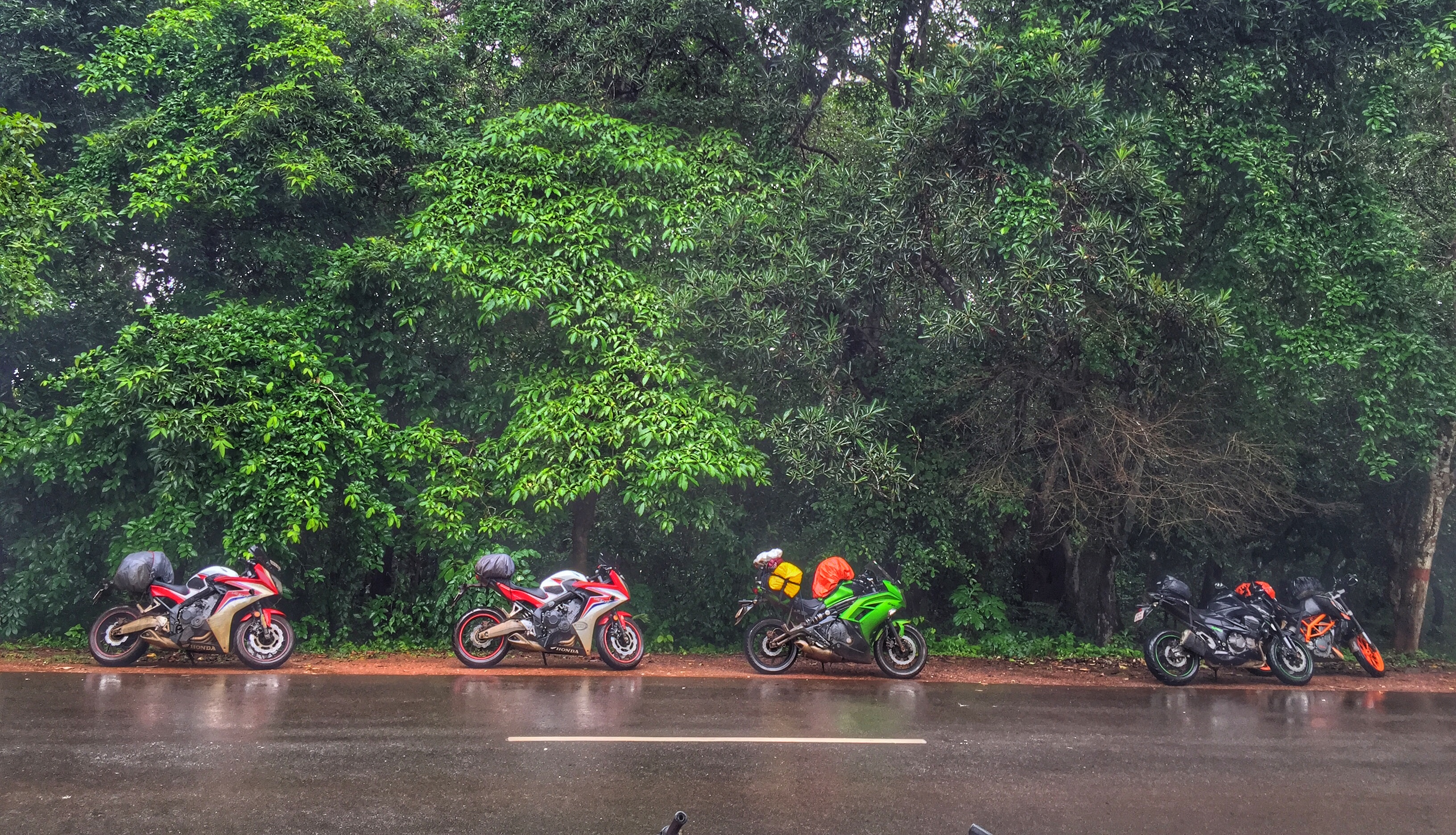
Day 12: Somwhere on the way to Sagara

Day 12: Somwhere on the way to Sagara
Day 12: Somwhere on the way to Sagara

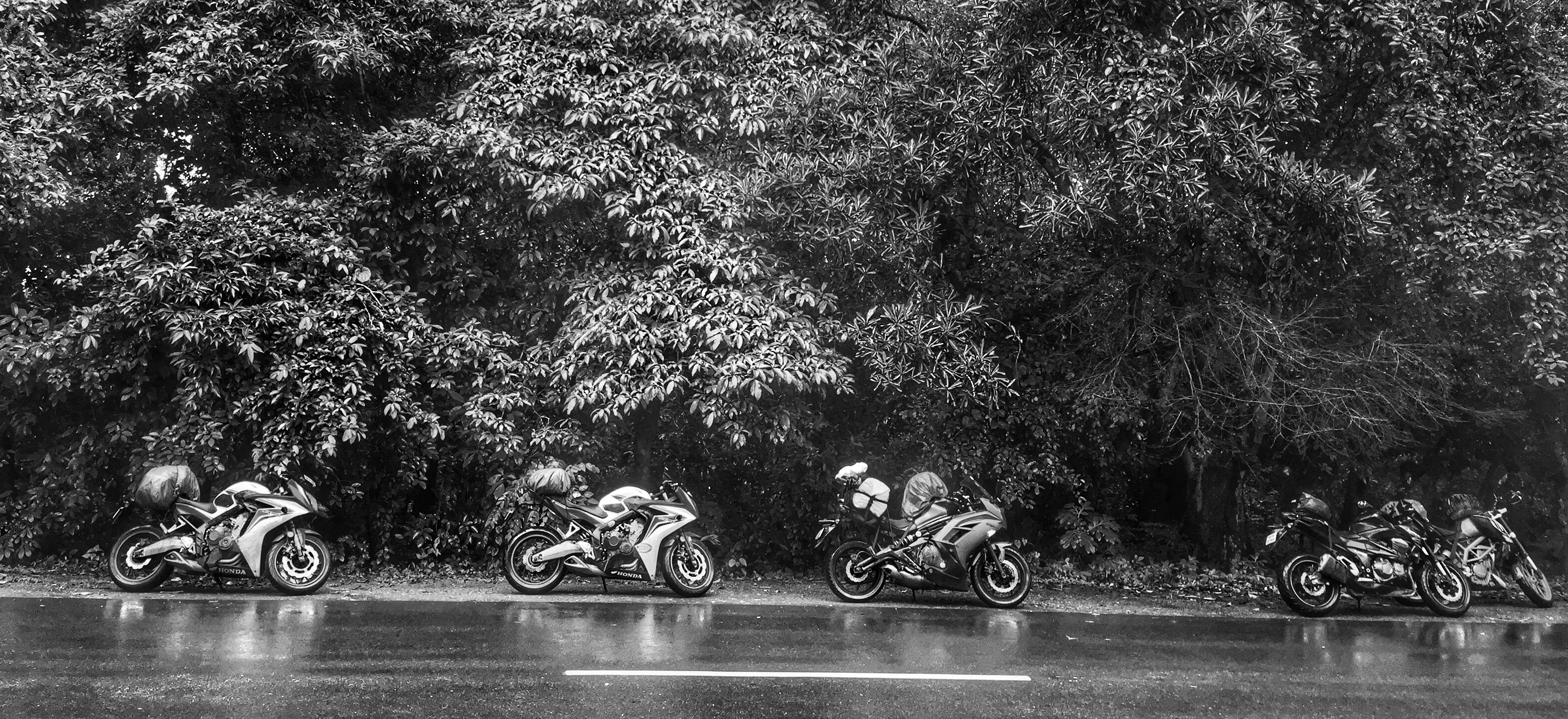
Breathe...
Topographic Map of Shimoga, Karnataka, India
Find elevation by address:

Places in Shimoga, Karnataka, India:
Shivamogga
Bhadravati
Sagar
Soraba
Thirthahalli
Hosanagar
Shikaripur
Muppane
Agumbe
Gajanuru Agrahara
Maradavalli
Places near Shimoga, Karnataka, India:
Hosanagar
Thirthahalli
Mudoor
Mookambika Temple Dwara
Varashree Farm & Nursery
Gajanuru Agrahara
171/1
Sharavathi Nagar
Hosamane
Shivamogga
Beluru
Hadavalli
Agumbe
Udupi
Bhadravati
Nadpalu
Sringeri
Eastern Coastal Plains
Tarikere
Fortune Inn Valley View
Recent Searches:
- Elevation of Corso Fratelli Cairoli, 35, Macerata MC, Italy
- Elevation of Tallevast Rd, Sarasota, FL, USA
- Elevation of 4th St E, Sonoma, CA, USA
- Elevation of Black Hollow Rd, Pennsdale, PA, USA
- Elevation of Oakland Ave, Williamsport, PA, USA
- Elevation of Pedrógão Grande, Portugal
- Elevation of Klee Dr, Martinsburg, WV, USA
- Elevation of Via Roma, Pieranica CR, Italy
- Elevation of Tavkvetili Mountain, Georgia
- Elevation of Hartfords Bluff Cir, Mt Pleasant, SC, USA