Elevation of Soraba, Karnataka, India
Location: India > Karnataka > Shimoga >
Longitude: 75.1022271
Latitude: 14.3811533
Elevation: 596m / 1955feet
Barometric Pressure: 94KPa
Elevation Map:
Satellite Map:
Related Photos:
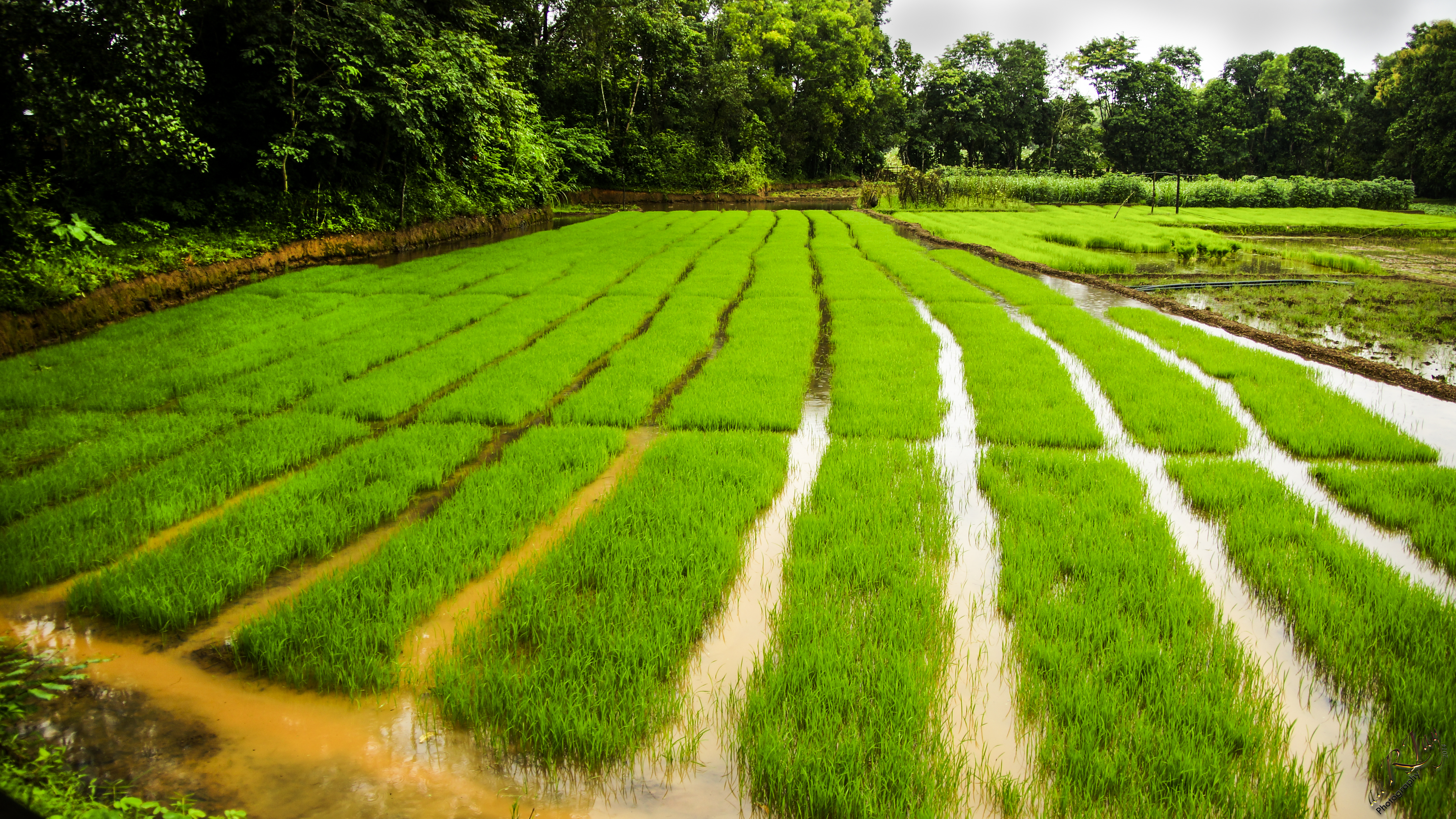
Growing Rice
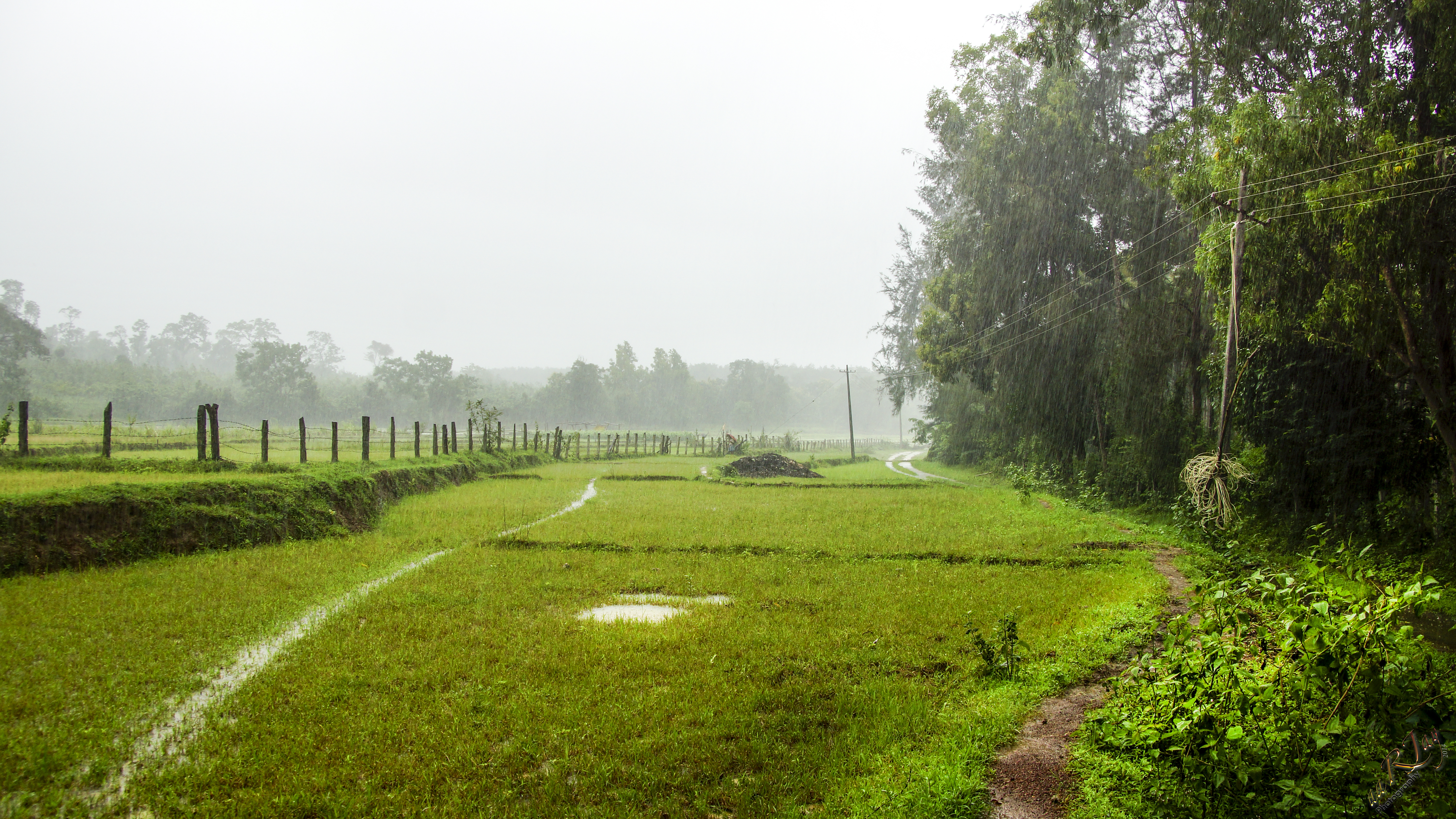
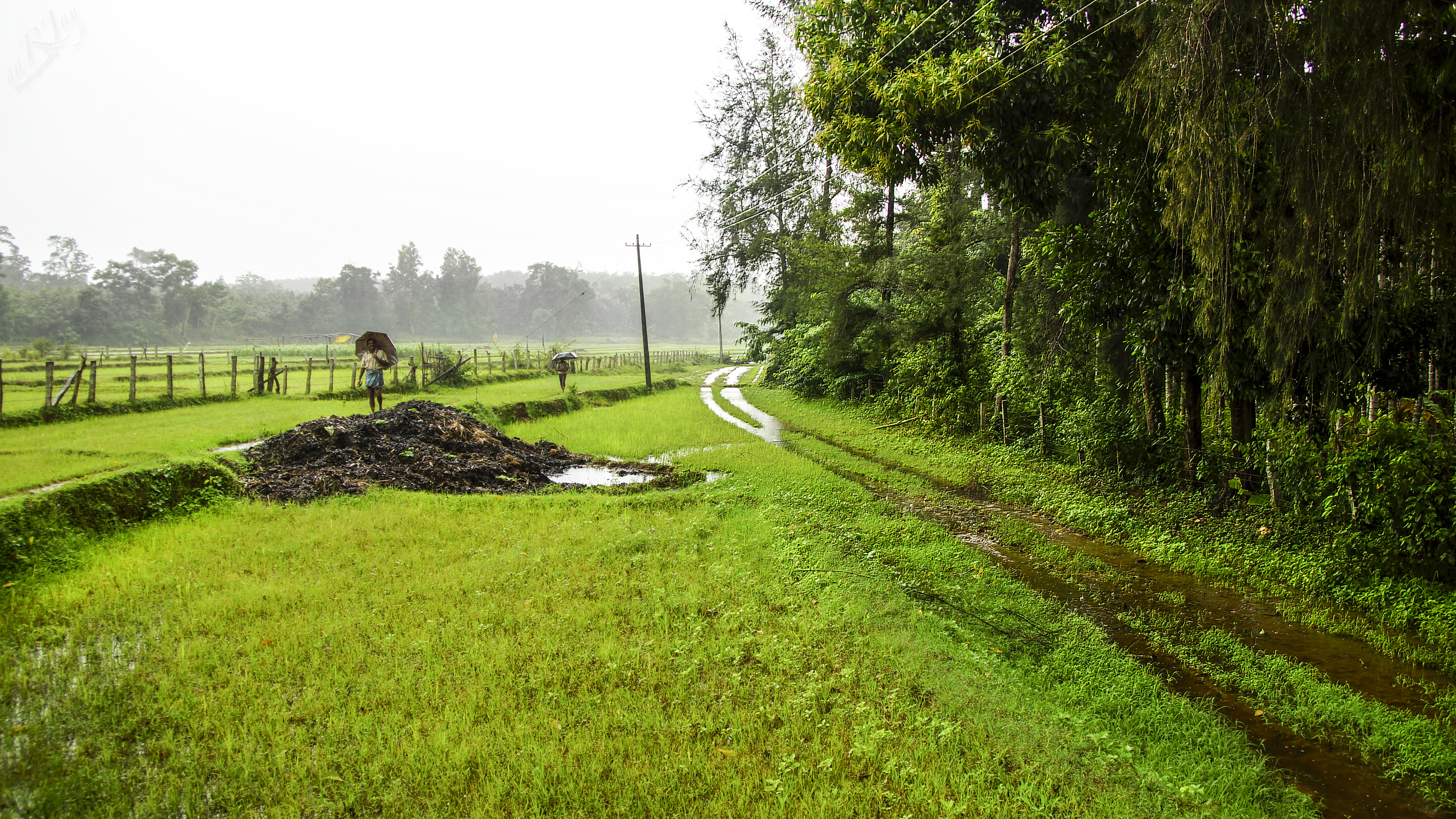
Monsoons in the Malnad Region
More Monsoon Malnad
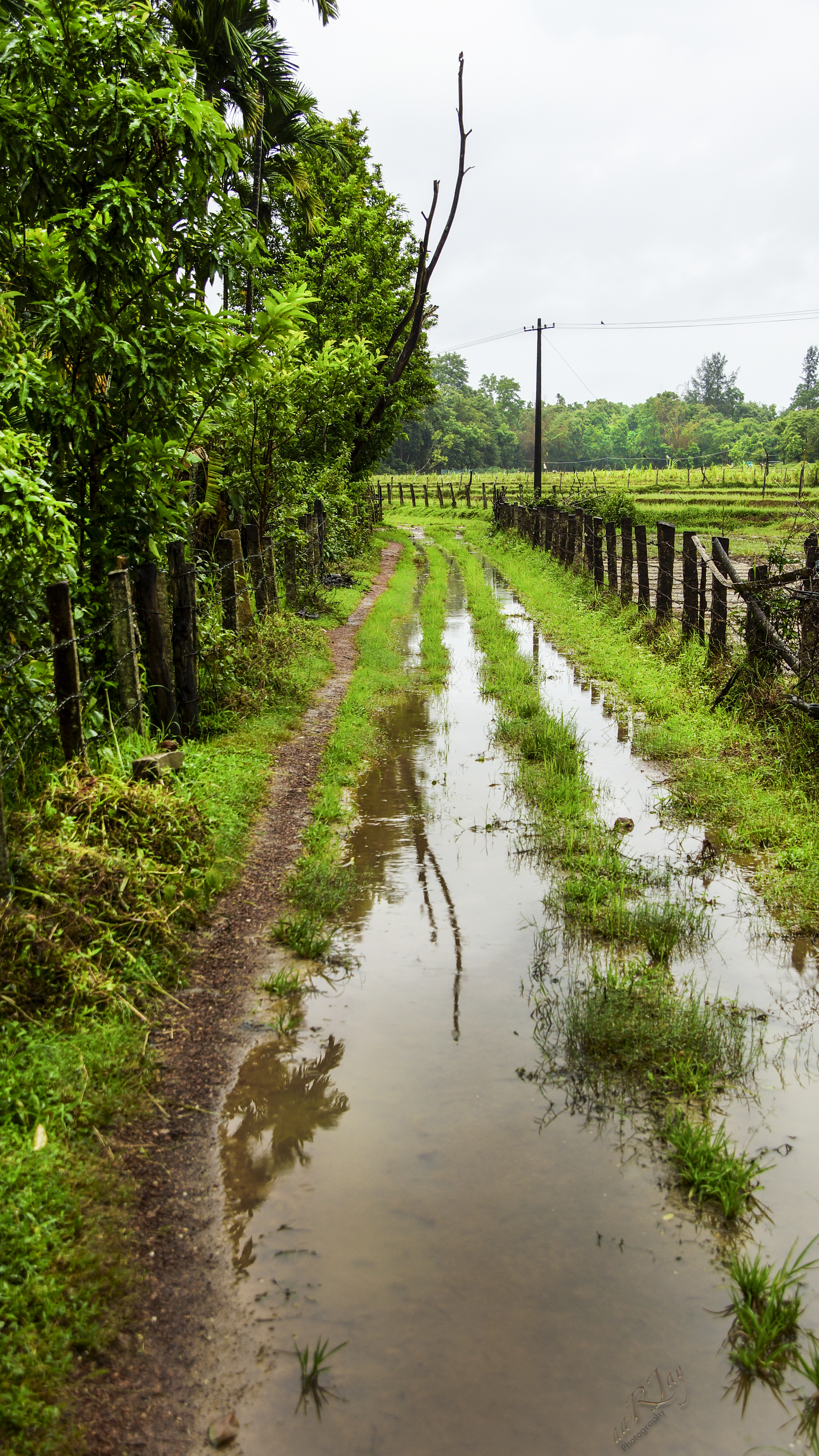
Green... everywhere
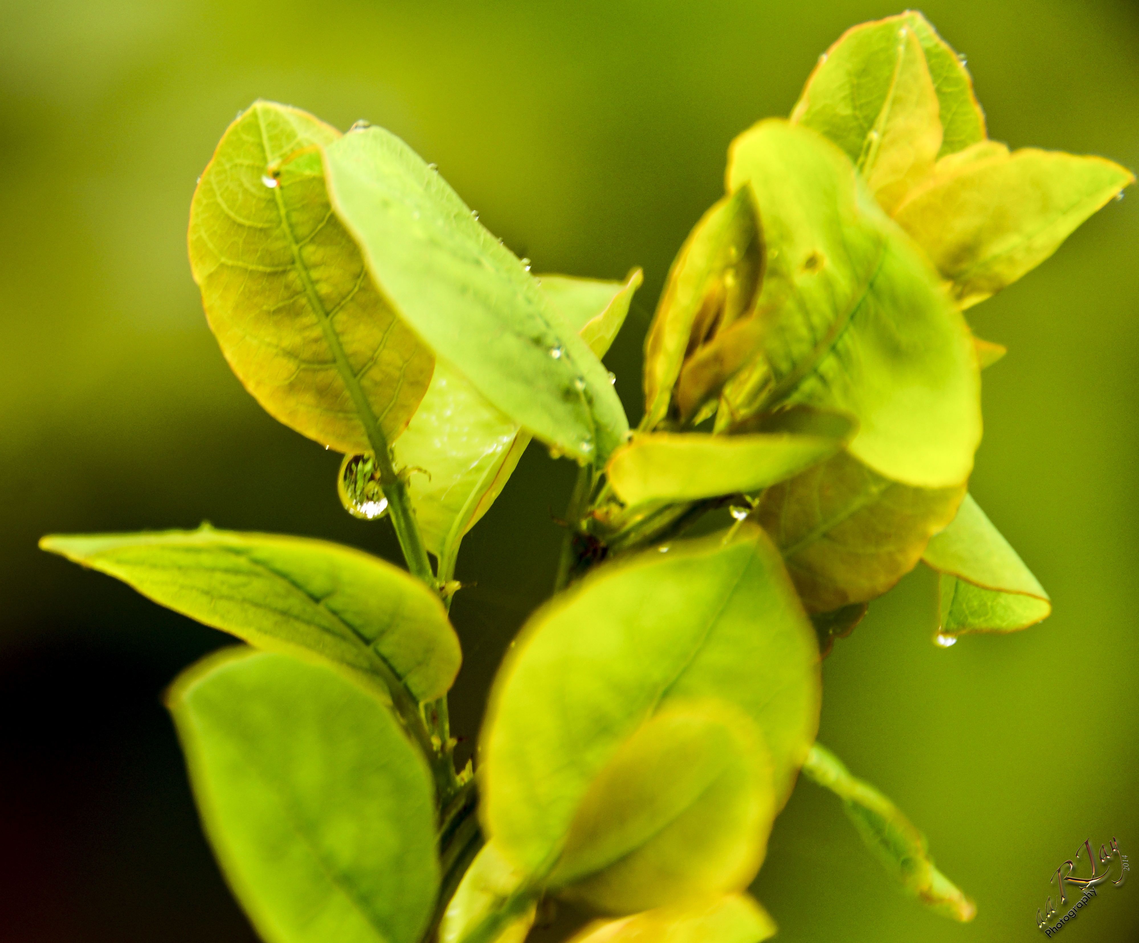
Hate and Love
Monsoon at Malnad
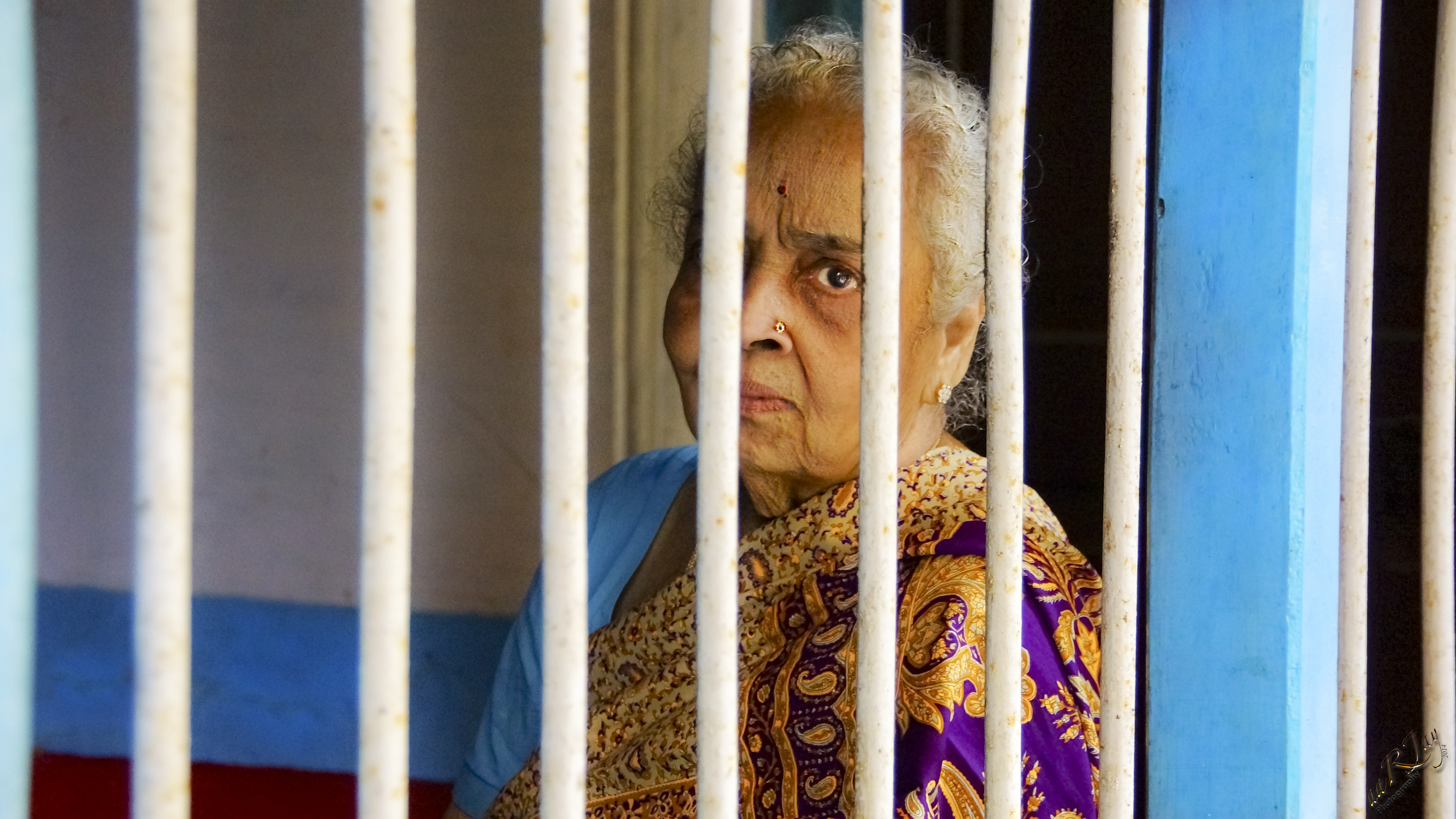
Vagaries of old age...
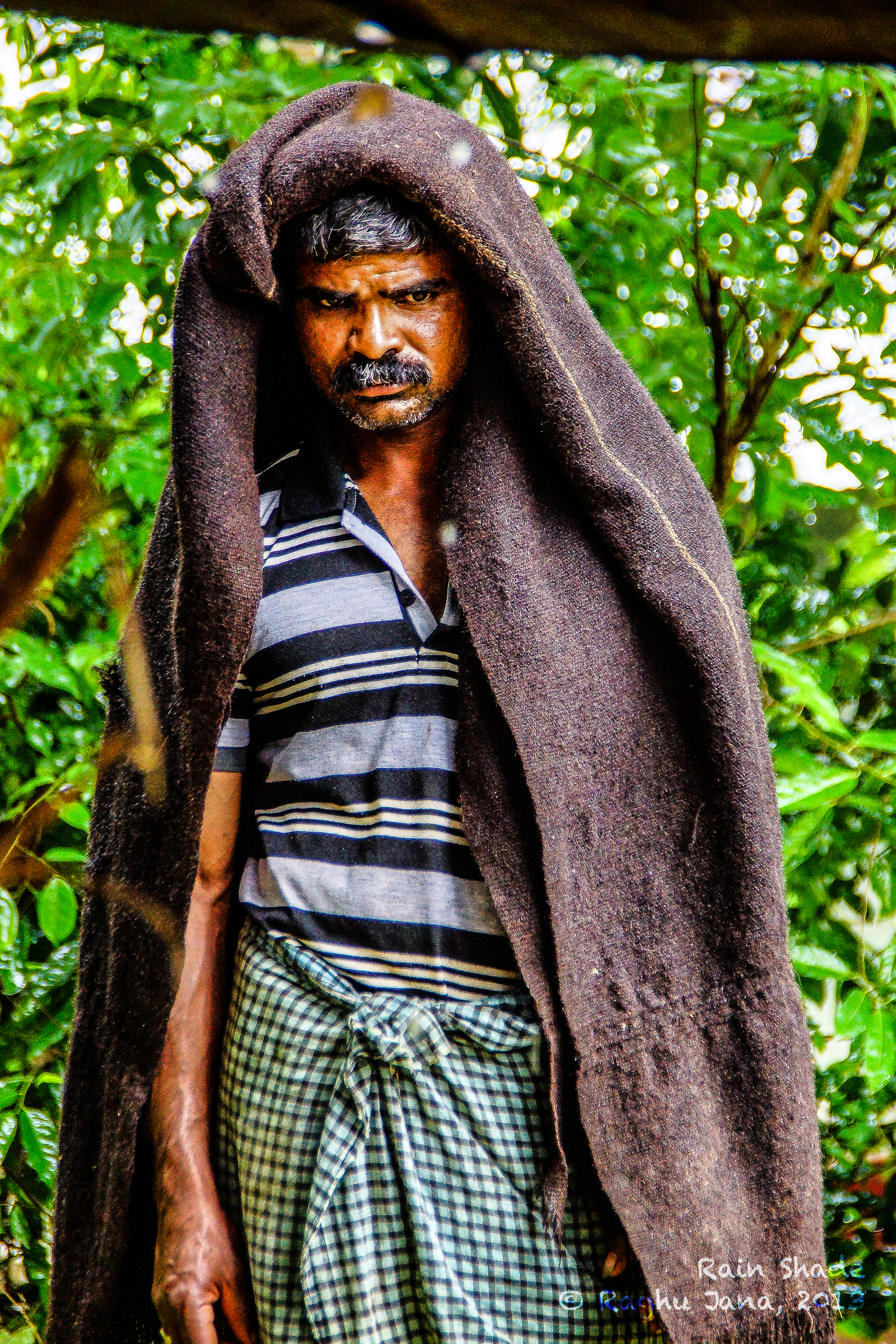
Rain Shade

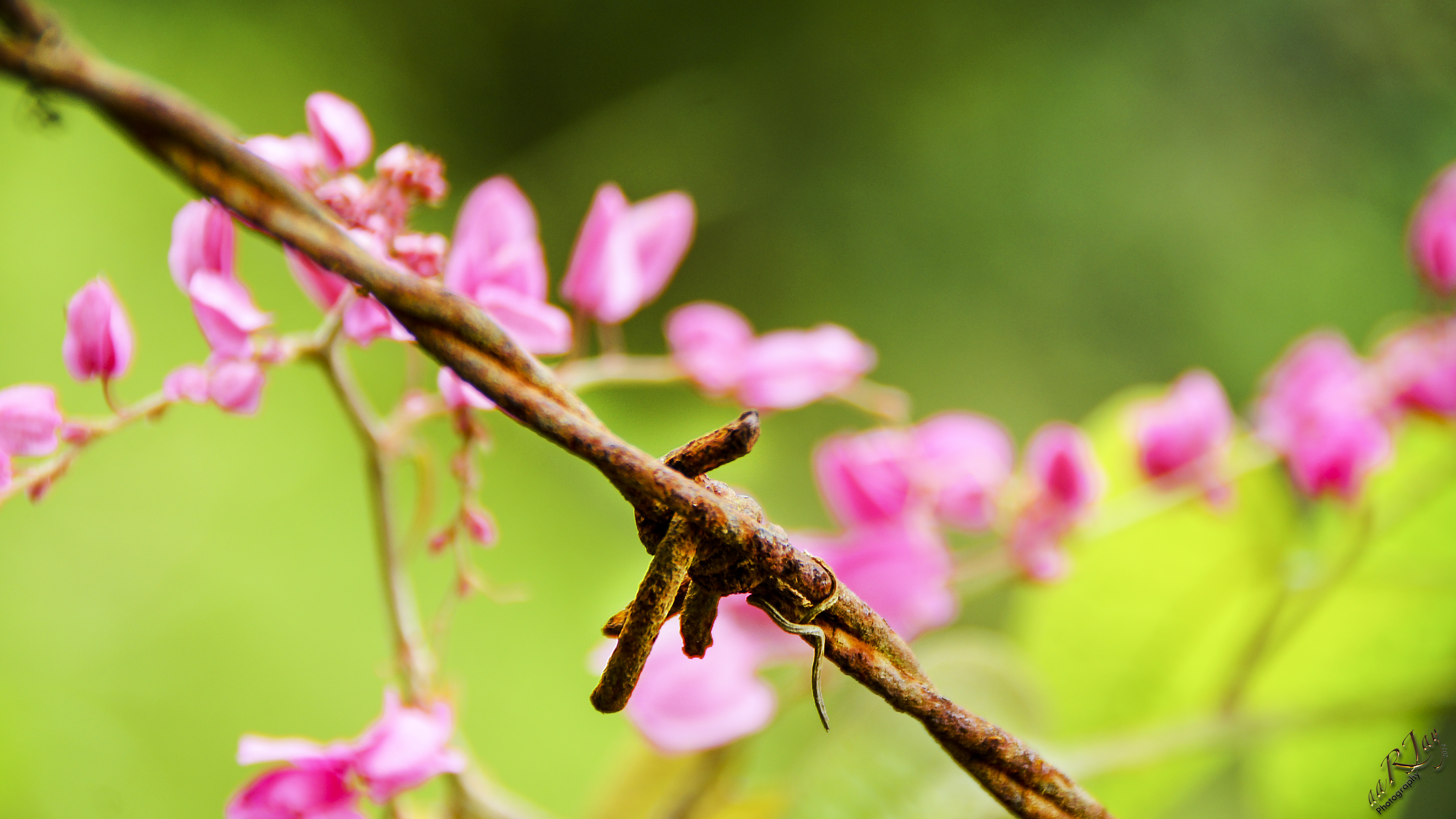
Porcupine Worm
Topographic Map of Soraba, Karnataka, India
Find elevation by address:

Places near Soraba, Karnataka, India:
Siddapur
Sagar
Shikaripur
Maradavalli
Hirekerur Bus Stand
Hirekerur
Hangal
Dodmane
Muppane
Haveri
Byadagi
Motebennur
Haveri
Kunimellihalli
Devagiri
Devaragudda
Bankapur
Honnali
Yana
Ranebennur
Recent Searches:
- Elevation of Corso Fratelli Cairoli, 35, Macerata MC, Italy
- Elevation of Tallevast Rd, Sarasota, FL, USA
- Elevation of 4th St E, Sonoma, CA, USA
- Elevation of Black Hollow Rd, Pennsdale, PA, USA
- Elevation of Oakland Ave, Williamsport, PA, USA
- Elevation of Pedrógão Grande, Portugal
- Elevation of Klee Dr, Martinsburg, WV, USA
- Elevation of Via Roma, Pieranica CR, Italy
- Elevation of Tavkvetili Mountain, Georgia
- Elevation of Hartfords Bluff Cir, Mt Pleasant, SC, USA