Elevation of Byadagi, Karnataka, India
Location: India > Karnataka > Haveri >
Longitude: 75.4869033
Latitude: 14.6814129
Elevation: 604m / 1982feet
Barometric Pressure: 94KPa
Elevation Map:
Satellite Map:
Related Photos:
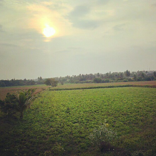
Beautiful evening in #Karnataka.
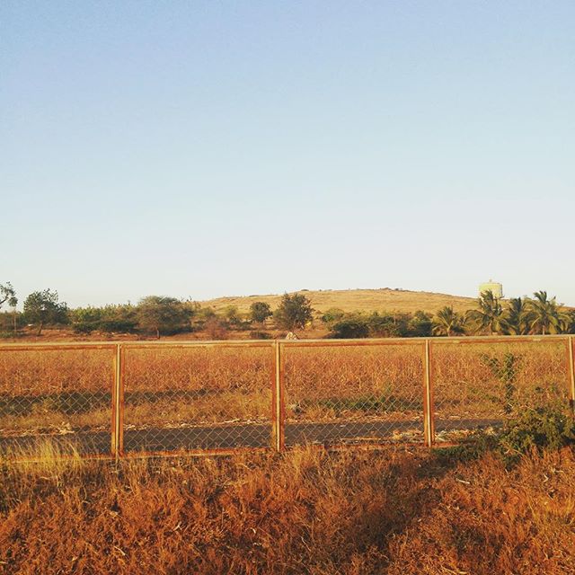
For lack of time, on the...
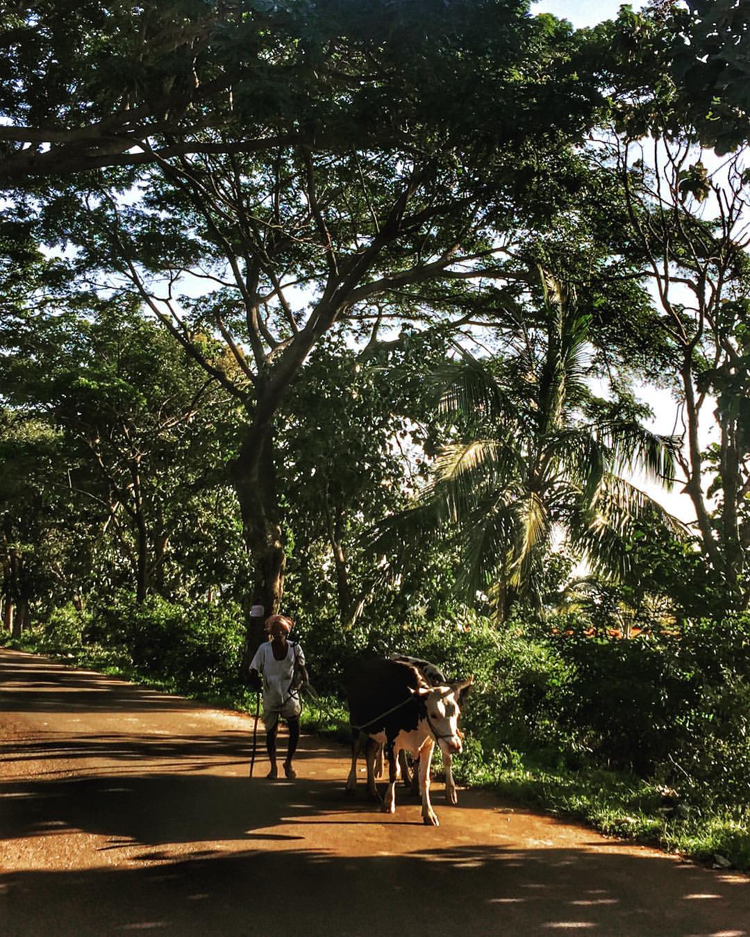
Twilight : Returning home after days work
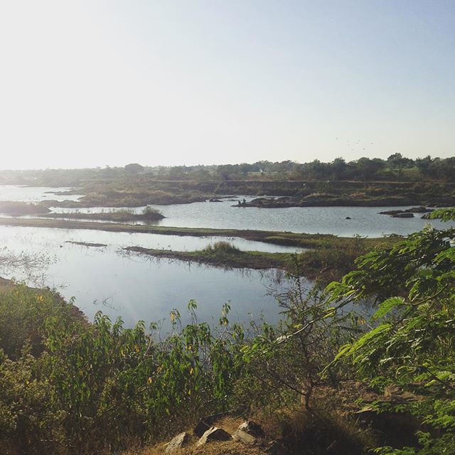
Heggere lake off NH7 Haveri bypass...
Topographic Map of Byadagi, Karnataka, India
Find elevation by address:

Places near Byadagi, Karnataka, India:
Motebennur
Haveri
Devaragudda
Haveri
Ranebennur
Devagiri
Hirekerur
Hirekerur Bus Stand
Kunimellihalli
Chalageri
Bankapur
Savanur
Harihar
Haraganahalli
Bisanhalli
Mahajenahalli
Hangal
Telagi
Kukke Subramanya Temple
Shiggaon
Recent Searches:
- Elevation of Corso Fratelli Cairoli, 35, Macerata MC, Italy
- Elevation of Tallevast Rd, Sarasota, FL, USA
- Elevation of 4th St E, Sonoma, CA, USA
- Elevation of Black Hollow Rd, Pennsdale, PA, USA
- Elevation of Oakland Ave, Williamsport, PA, USA
- Elevation of Pedrógão Grande, Portugal
- Elevation of Klee Dr, Martinsburg, WV, USA
- Elevation of Via Roma, Pieranica CR, Italy
- Elevation of Tavkvetili Mountain, Georgia
- Elevation of Hartfords Bluff Cir, Mt Pleasant, SC, USA