Elevation of Bhadravati, Karnataka, India
Location: India > Karnataka > Shimoga >
Longitude: 75.7080727
Latitude: 13.8329901
Elevation: 595m / 1952feet
Barometric Pressure: 94KPa
Elevation Map:
Satellite Map:
Related Photos:
DSC_1665
Driving on the highway
turning n turning...

Just landed
Repainted Beauty
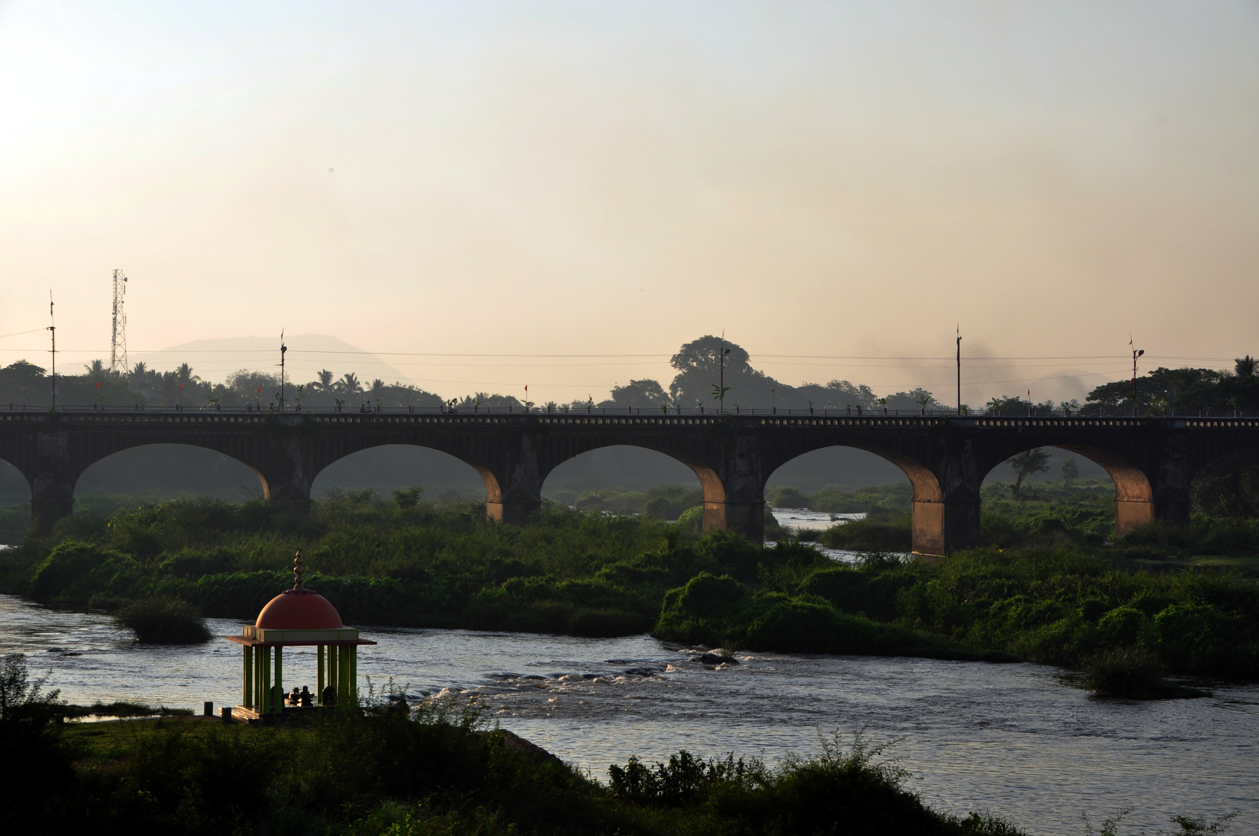
Visweswaraya Bridge
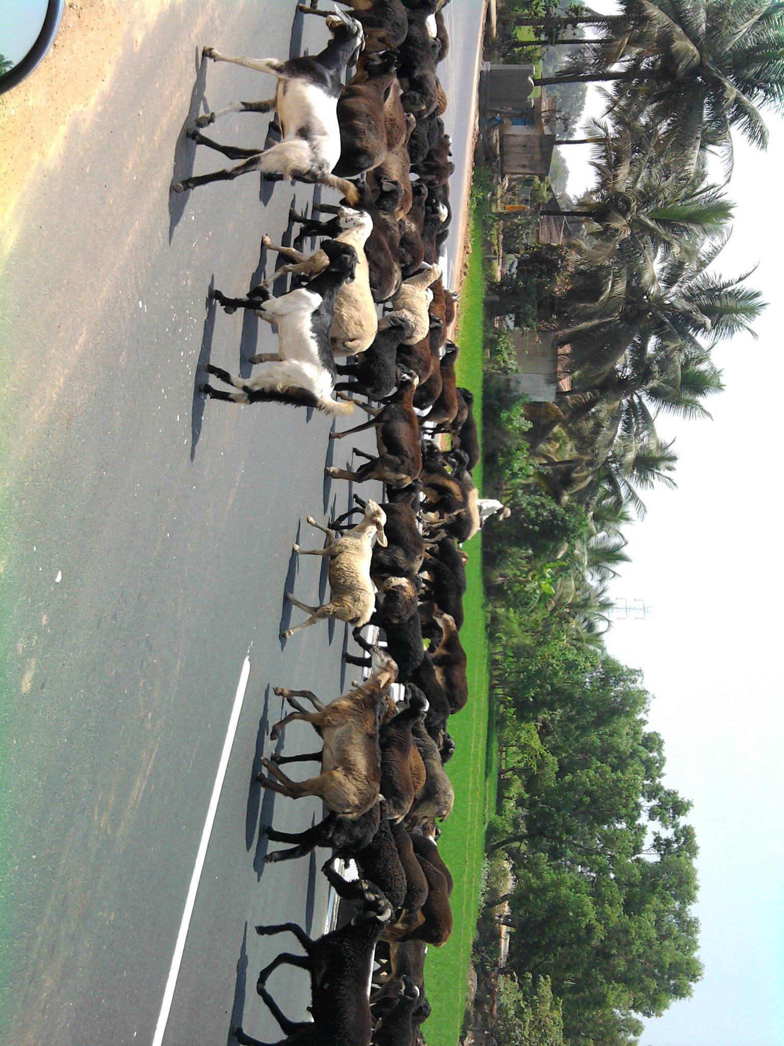
sheep crossing
Topographic Map of Bhadravati, Karnataka, India
Find elevation by address:

Places near Bhadravati, Karnataka, India:
Tarikere
Shivamogga
Hosamane
Sharavathi Nagar
171/1
Varashree Farm & Nursery
Gajanuru Agrahara
Manchethevaru
Kemmannugundi
Channagiri
Beluru
Pandaravalli
Mahiyaddin Jumma Masjid
Sirivase
Chikkamagaluru
Arabidacool Bungalow Tata Coffee
Mullayanagiri Peak
Sakrepatna
Kaimara
Mallandur Homestay
Recent Searches:
- Elevation of Corso Fratelli Cairoli, 35, Macerata MC, Italy
- Elevation of Tallevast Rd, Sarasota, FL, USA
- Elevation of 4th St E, Sonoma, CA, USA
- Elevation of Black Hollow Rd, Pennsdale, PA, USA
- Elevation of Oakland Ave, Williamsport, PA, USA
- Elevation of Pedrógão Grande, Portugal
- Elevation of Klee Dr, Martinsburg, WV, USA
- Elevation of Via Roma, Pieranica CR, Italy
- Elevation of Tavkvetili Mountain, Georgia
- Elevation of Hartfords Bluff Cir, Mt Pleasant, SC, USA