Elevation of Sherman County, TX, USA
Location: United States > Texas >
Longitude: -101.98046
Latitude: 36.2643429
Elevation: 1094m / 3589feet
Barometric Pressure: 89KPa
Elevation Map:
Satellite Map:
Related Photos:

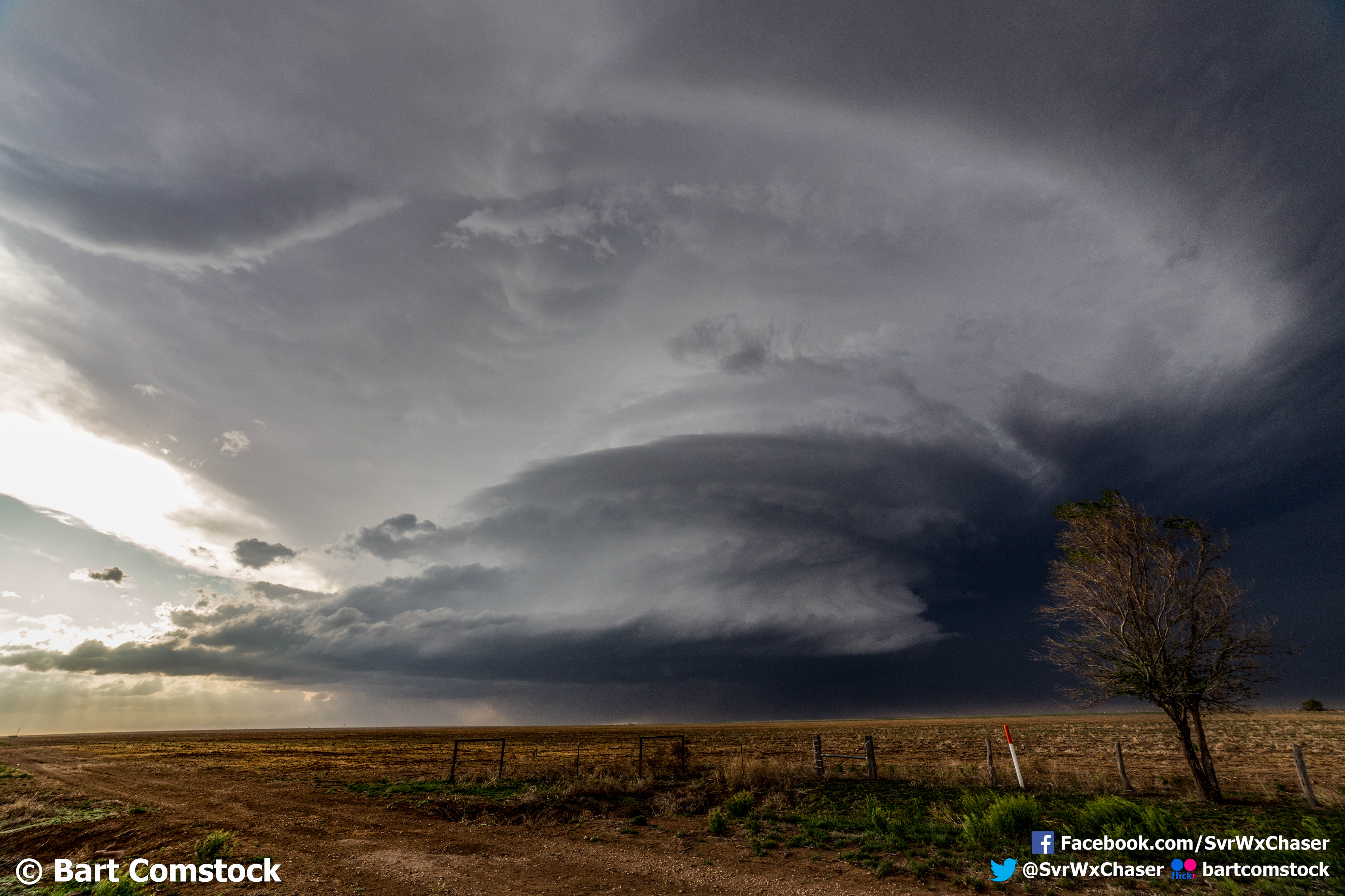
texas mothership 3.jpg
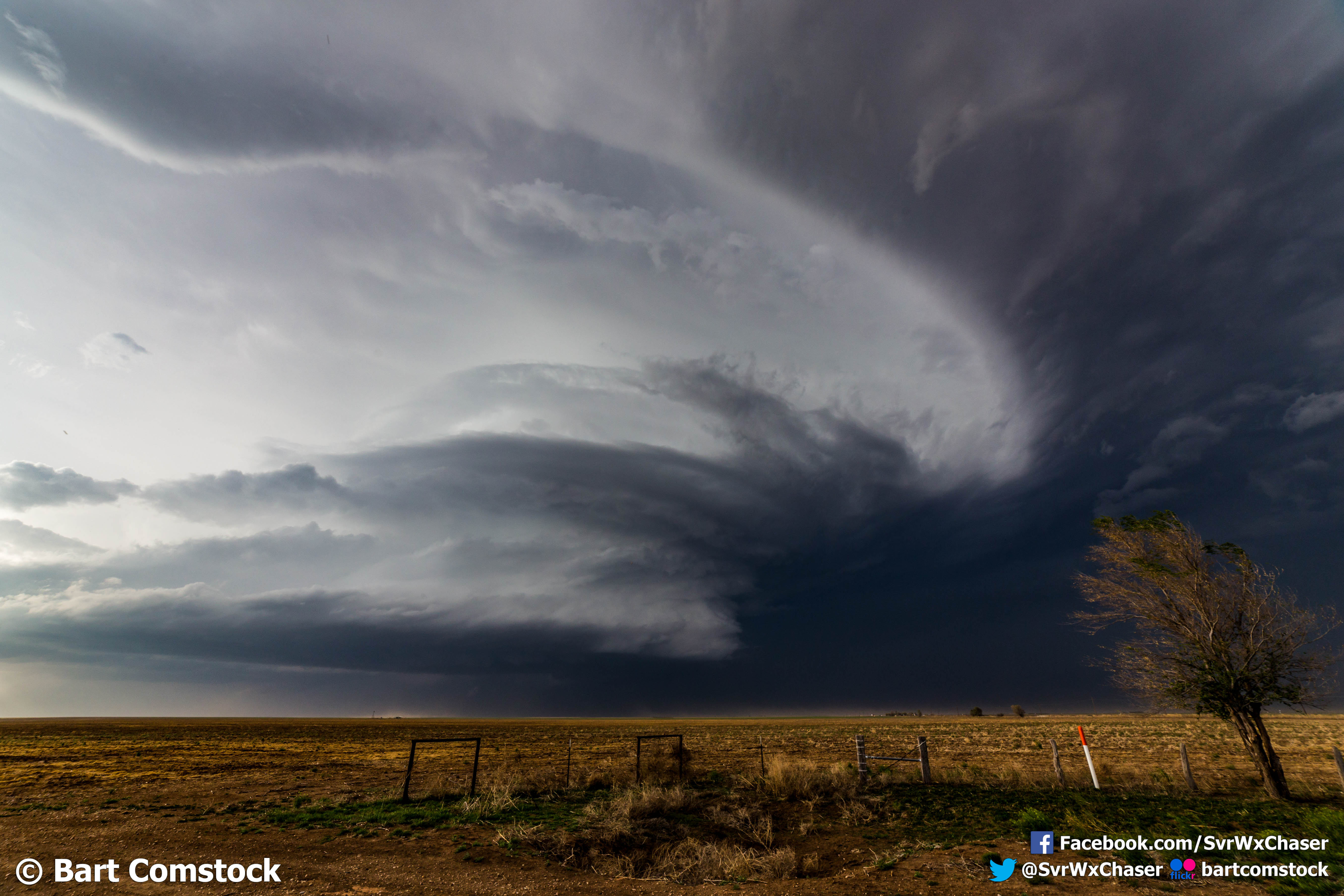
texas mothership 1.jpg
texas mothership 2.jpg
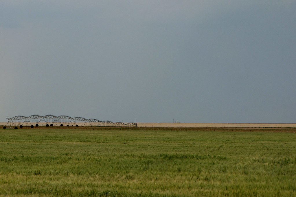
A vast sea of land with a lonely irrigation sprinkler in the distance
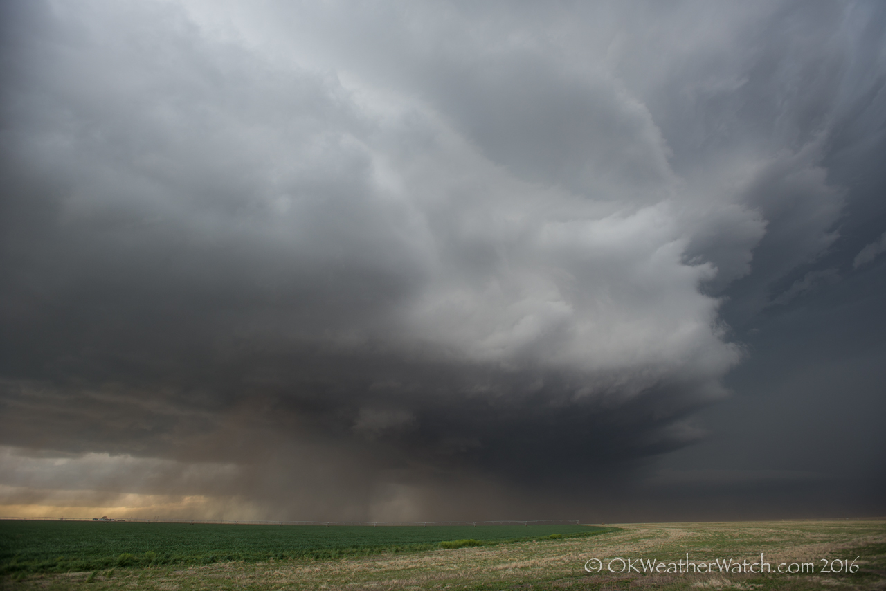
Stratford, TX
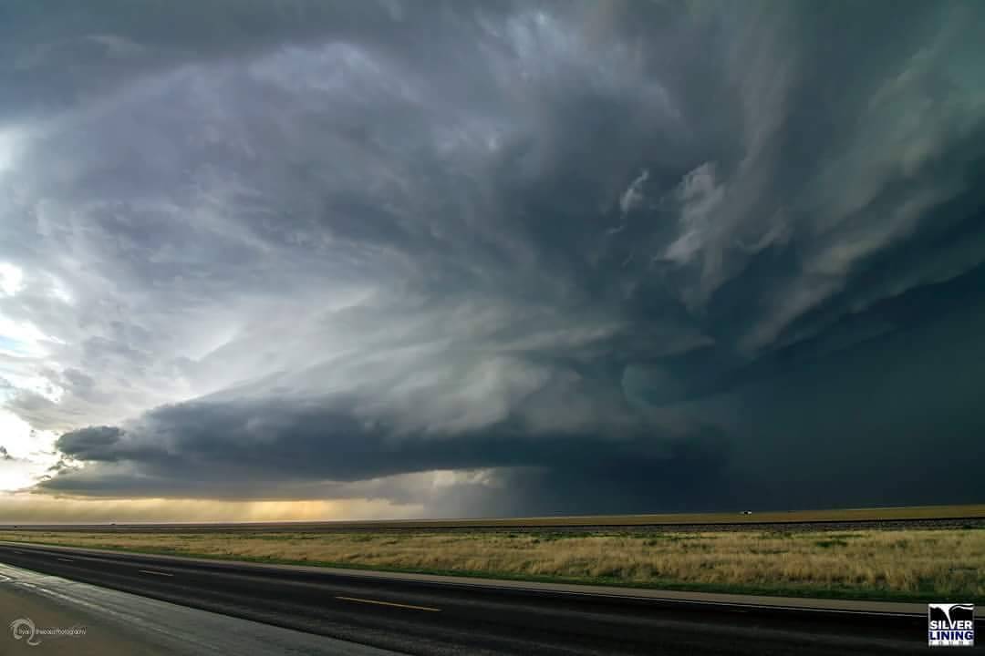
#severestorm #supercell #txwx #silverliningtours #livestormsmedia #tornadotours #stormchasing
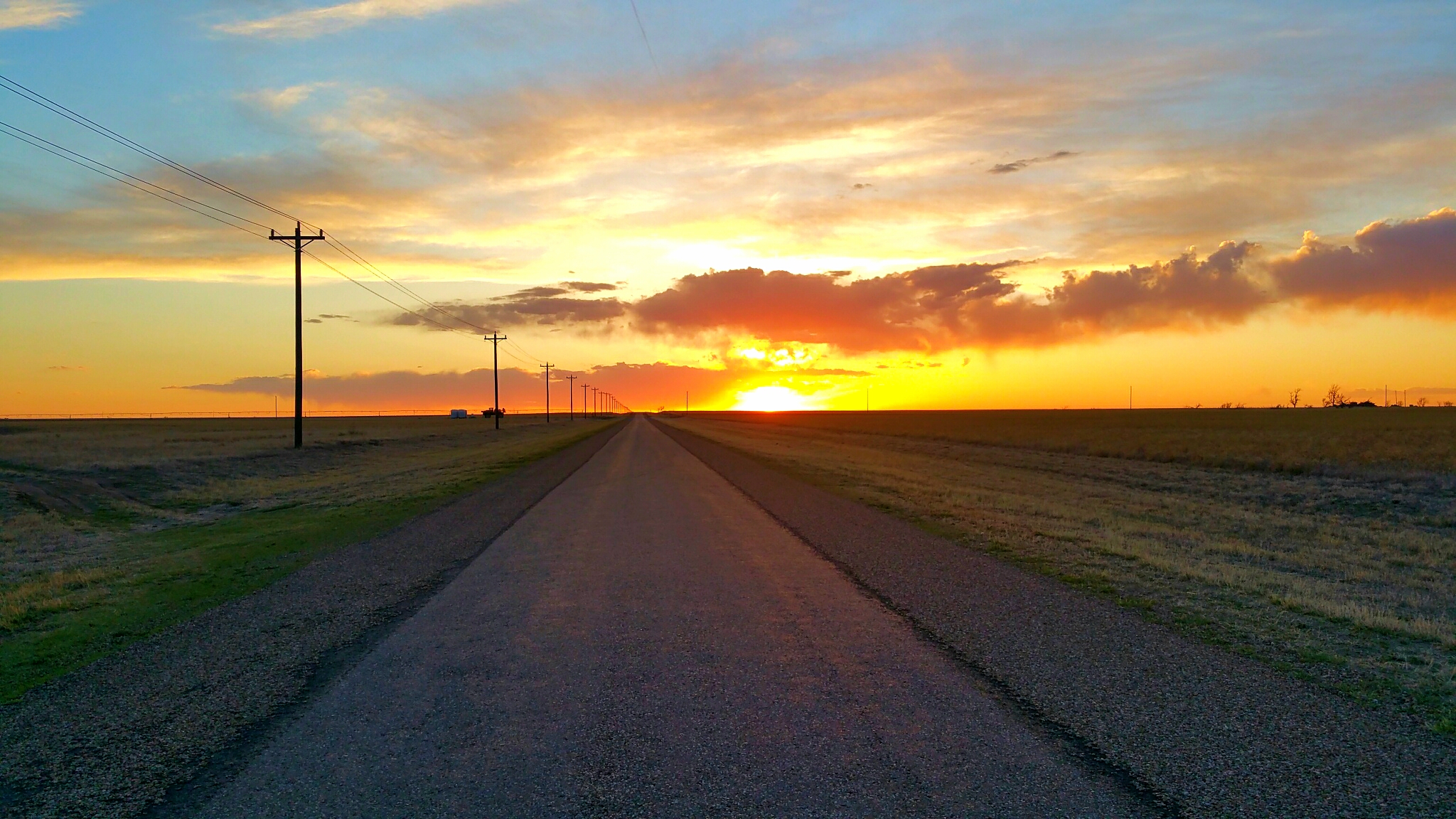
When the sun has set, no candle can replace it.
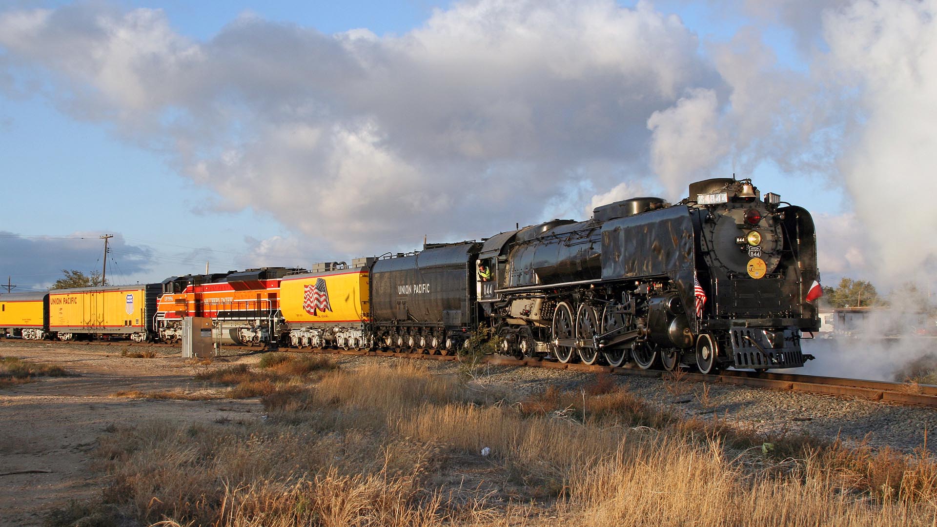
UP0844_2011-11-02 18-15-37bf_StratfordTX
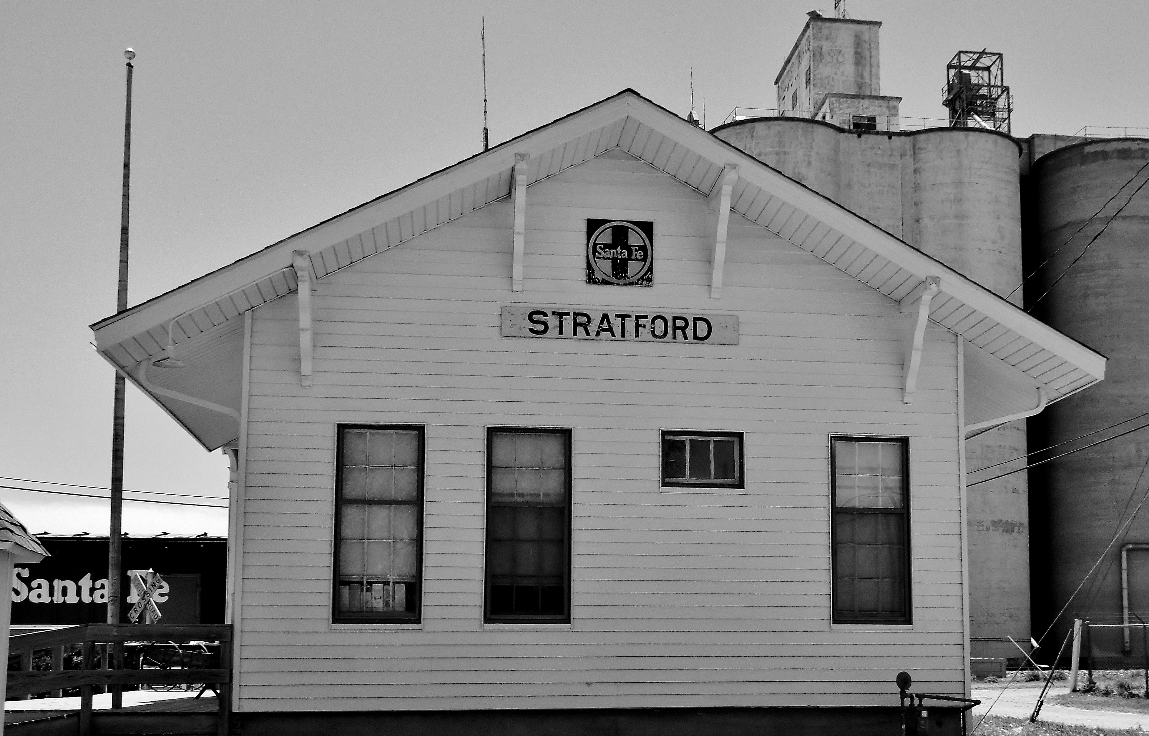
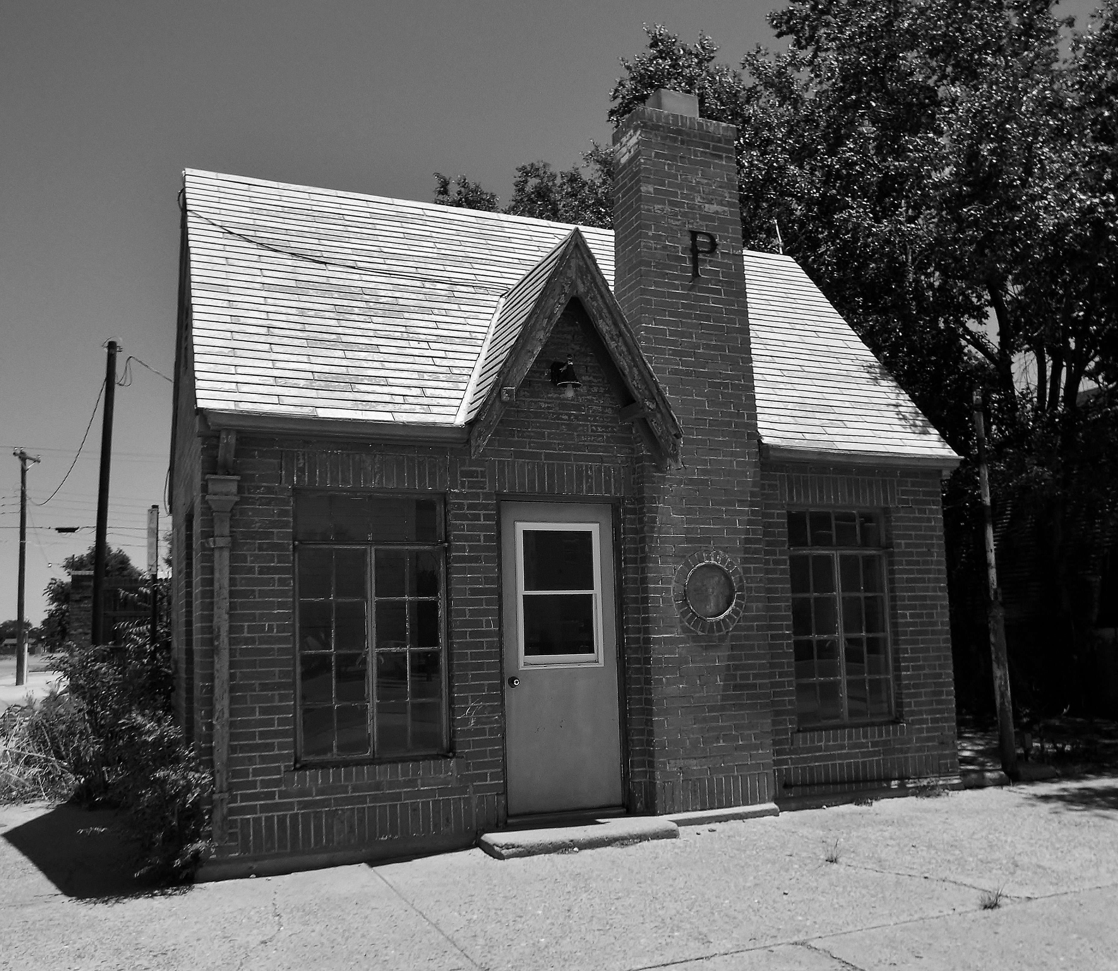
Stratford TX - Depot
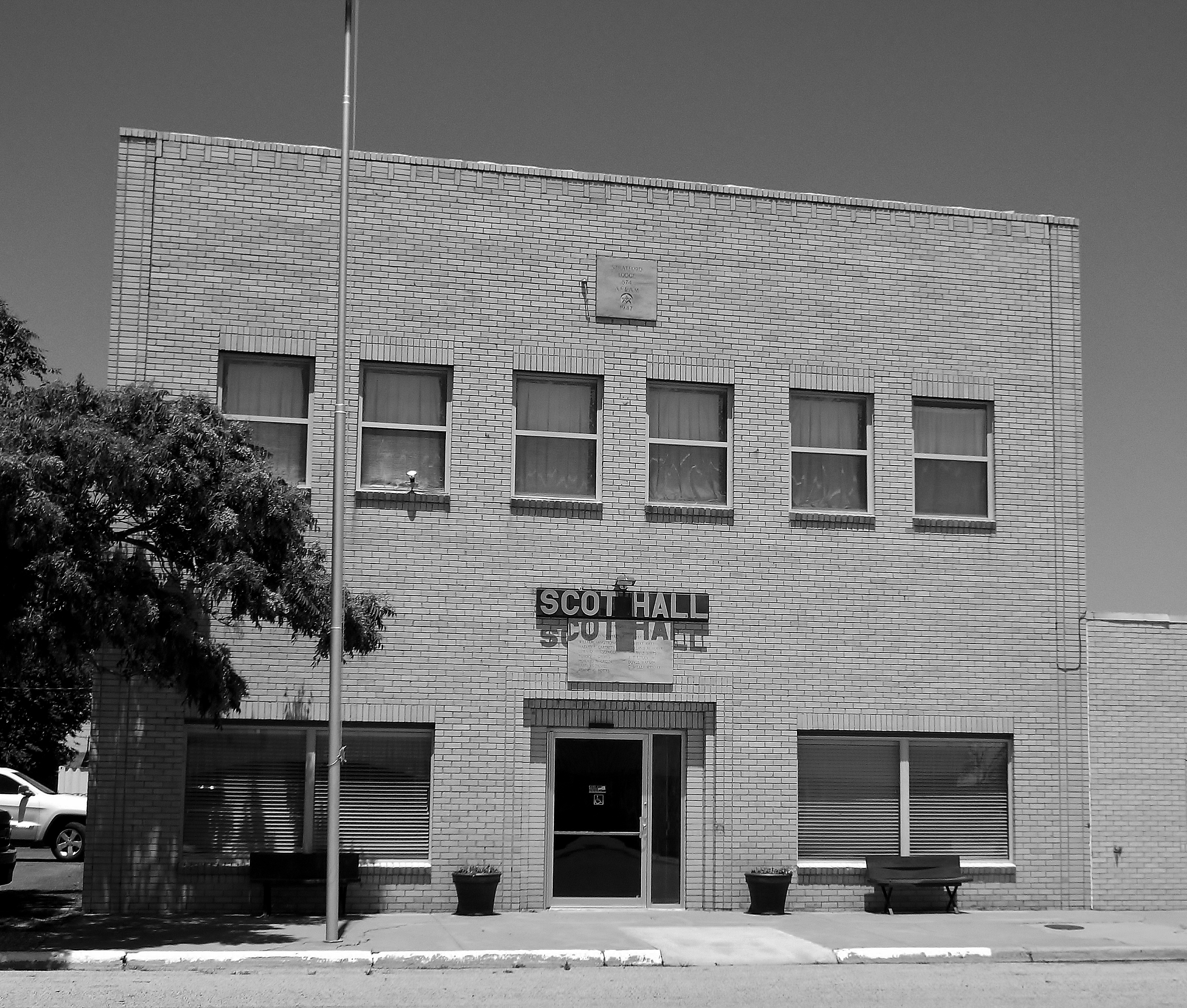
Stratford TX - Stratford Lodge
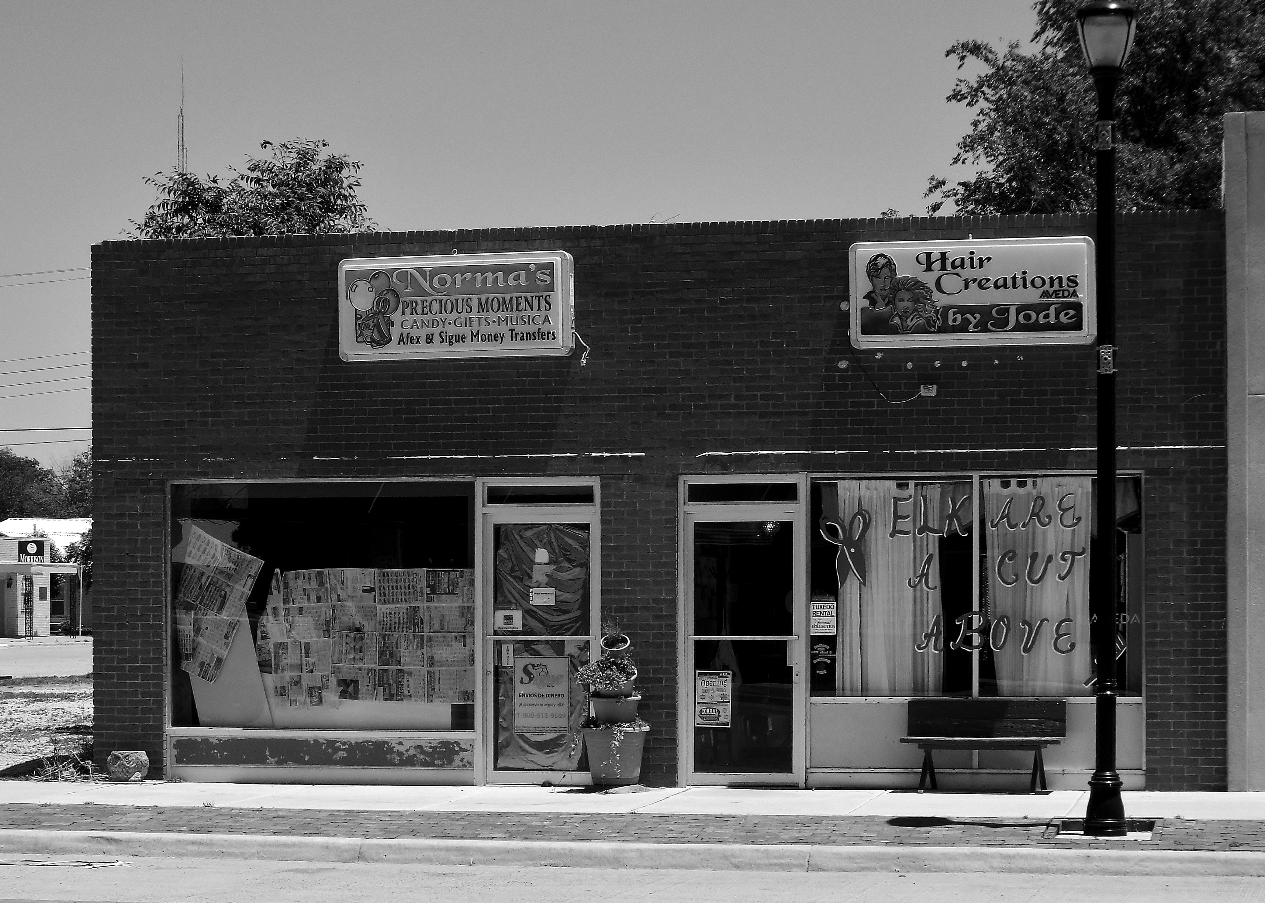
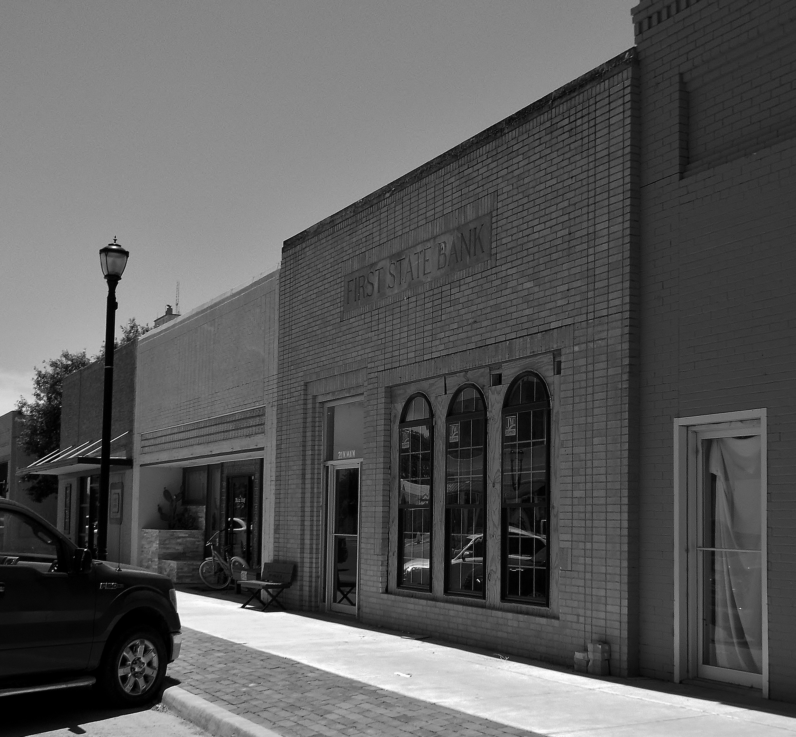
Stratford TX - Bldg
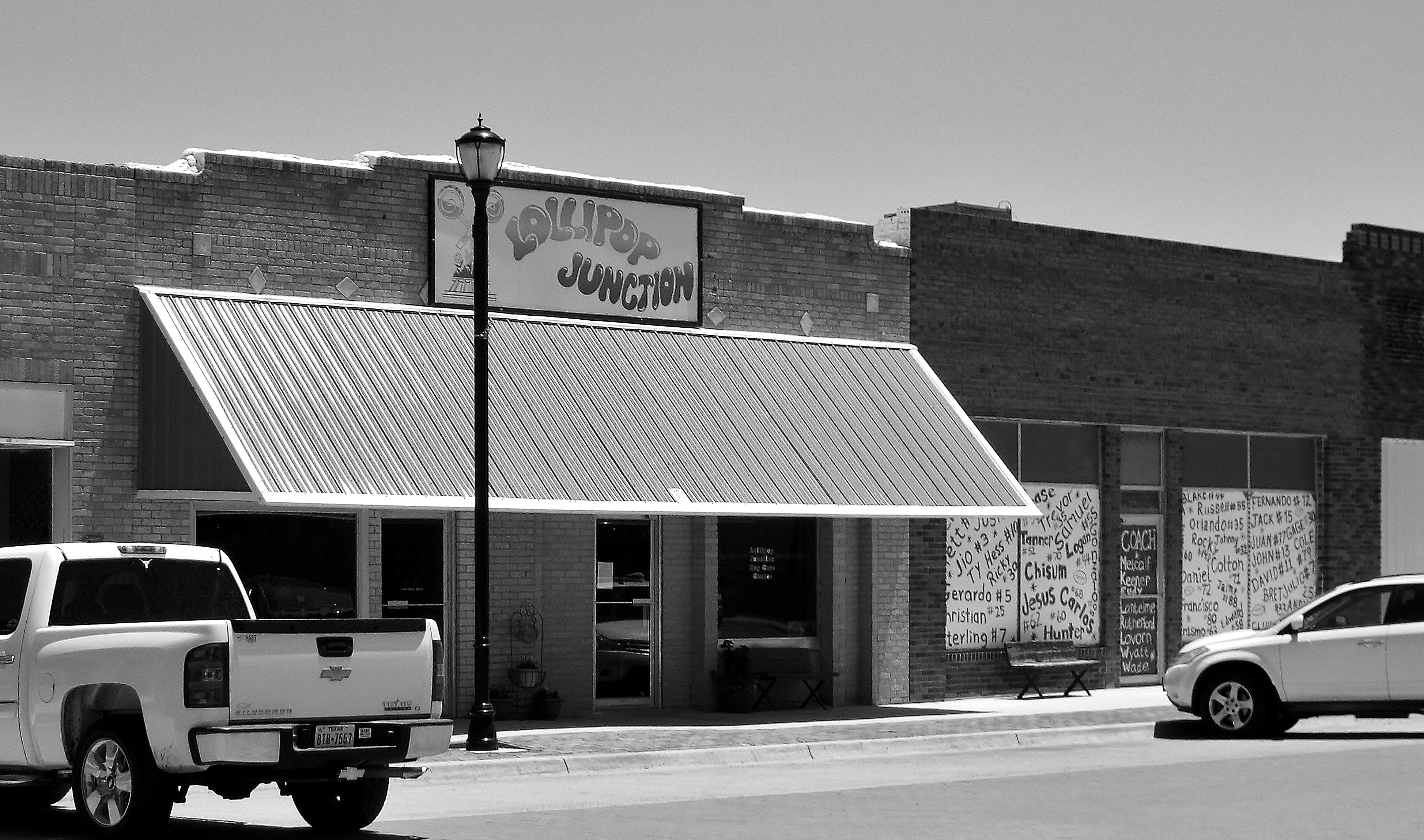
Stratford TX - Bldgs
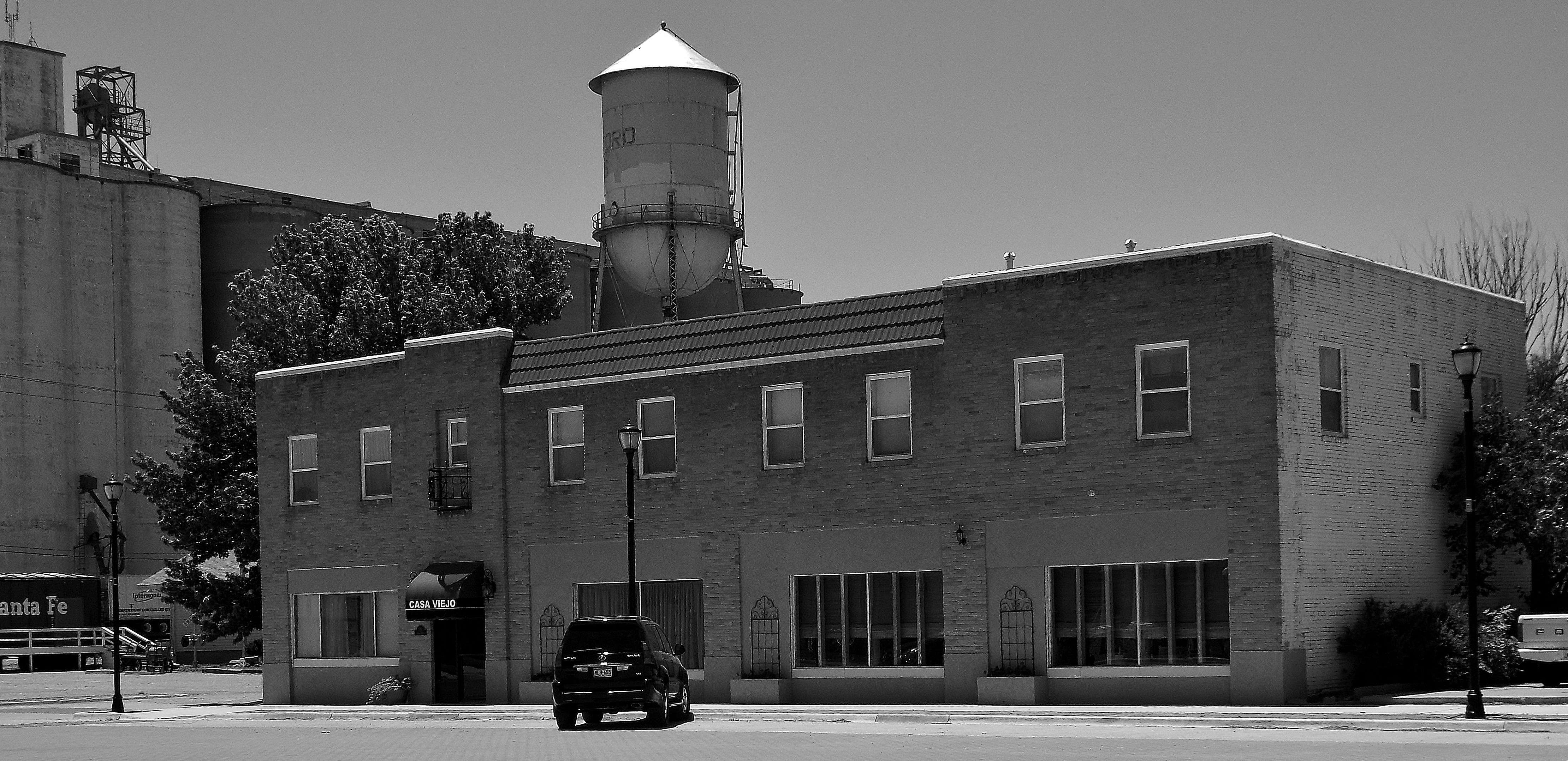
Stratford TX - Bldg 2
Stratford Bldgs 2
Stratford TX - Bldg 3

BNSF 6028 South

UP 7768 East

UP 1983 West, Stratford, TX

BNSF 3196

BNSF 548
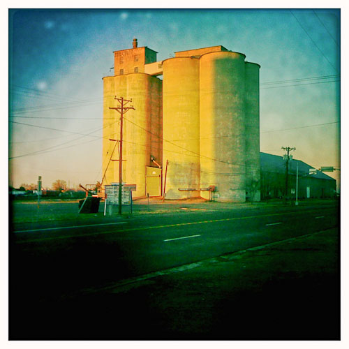
Stratford Texas

Stratford Texas
Topographic Map of Sherman County, TX, USA
Find elevation by address:

Places in Sherman County, TX, USA:
Places near Sherman County, TX, USA:
Stratford
Lollis Dr, Dumas, TX, USA
Texhoma
S 2nd St, Texhoma, OK, USA
Cemetery Road
Dumas
Moore County
Hansford County
Dallam County
Hartley
US-, Dalhart, TX, USA
Margaret Ave, Dalhart, TX, USA
Dalhart
E 4th St, Gruver, TX, USA
Masterson
Rosine Ave, Channing, TX, USA
Channing
Hartley County
Stinnett
Hutchinson County
Recent Searches:
- Elevation of Corso Fratelli Cairoli, 35, Macerata MC, Italy
- Elevation of Tallevast Rd, Sarasota, FL, USA
- Elevation of 4th St E, Sonoma, CA, USA
- Elevation of Black Hollow Rd, Pennsdale, PA, USA
- Elevation of Oakland Ave, Williamsport, PA, USA
- Elevation of Pedrógão Grande, Portugal
- Elevation of Klee Dr, Martinsburg, WV, USA
- Elevation of Via Roma, Pieranica CR, Italy
- Elevation of Tavkvetili Mountain, Georgia
- Elevation of Hartfords Bluff Cir, Mt Pleasant, SC, USA