Elevation of Dumas, TX, USA
Location: United States > Texas > Moore County >
Longitude: -101.97322
Latitude: 35.8653789
Elevation: 1115m / 3658feet
Barometric Pressure: 89KPa
Elevation Map:
Satellite Map:
Related Photos:
#txwx #skyline #clouds #CloudFormations

"I must say as to what I have seen of Texas it is the garden spot of the world. The best land and the best prospects for health I ever saw, and I do believe it is a fortune to any man to come here. There is a world of country here to settle." - Davy Crock
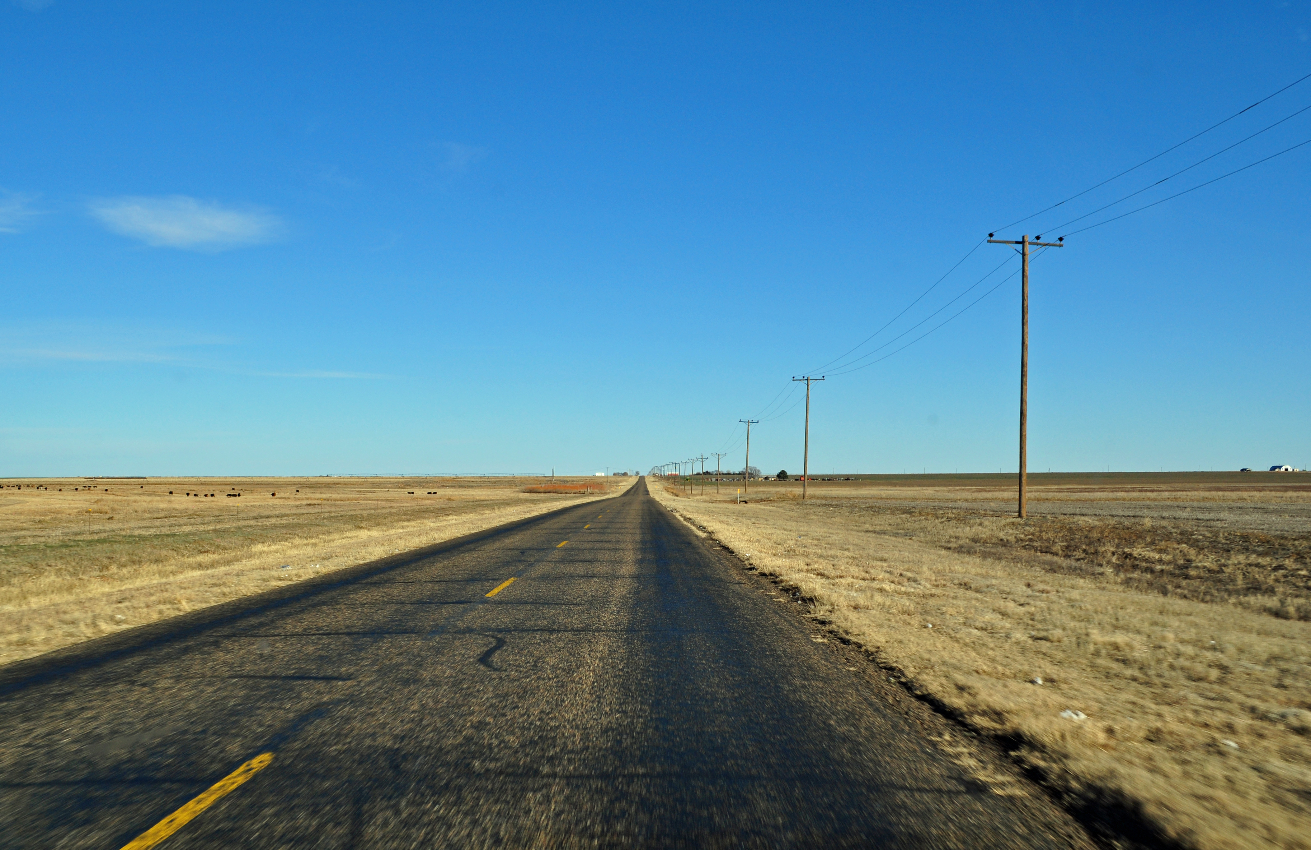
Driving to Dumas
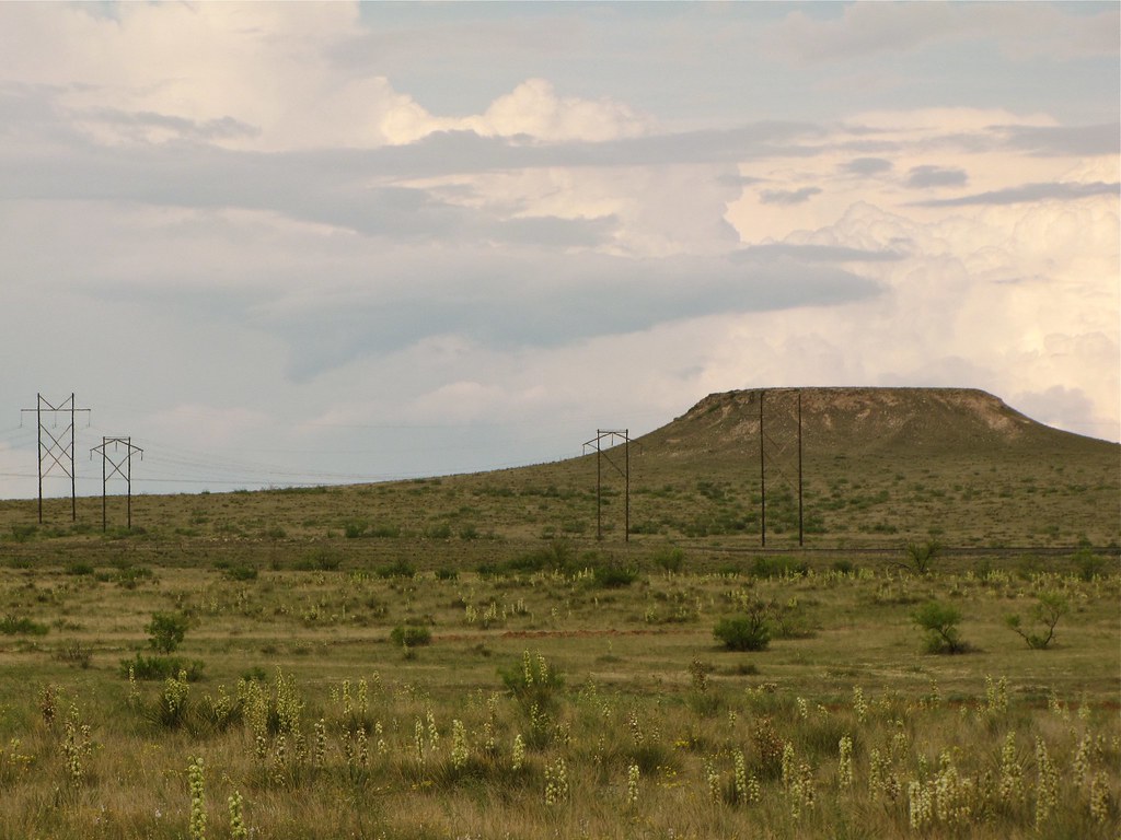
A lonely mesa off route 287 north of Amarillo, TX

IMG_2458.JPG
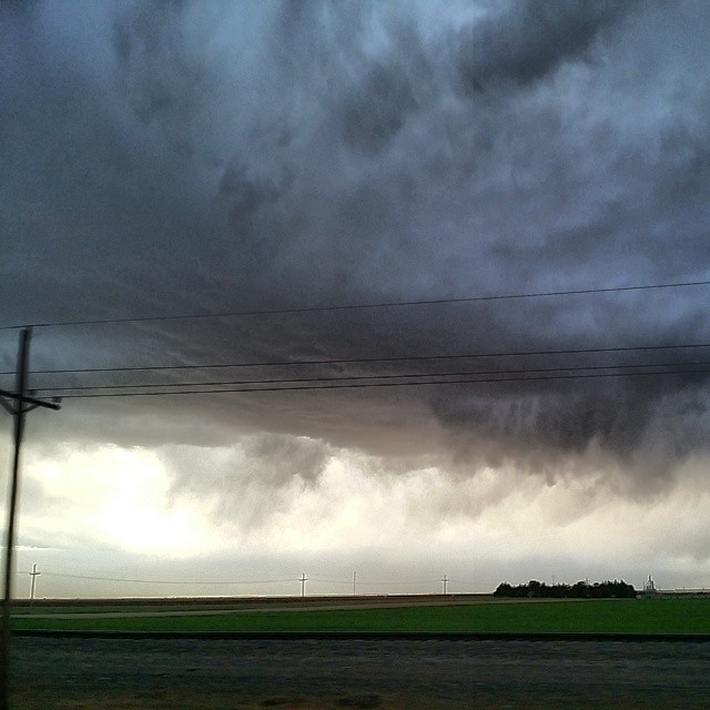
The sky gods are in session

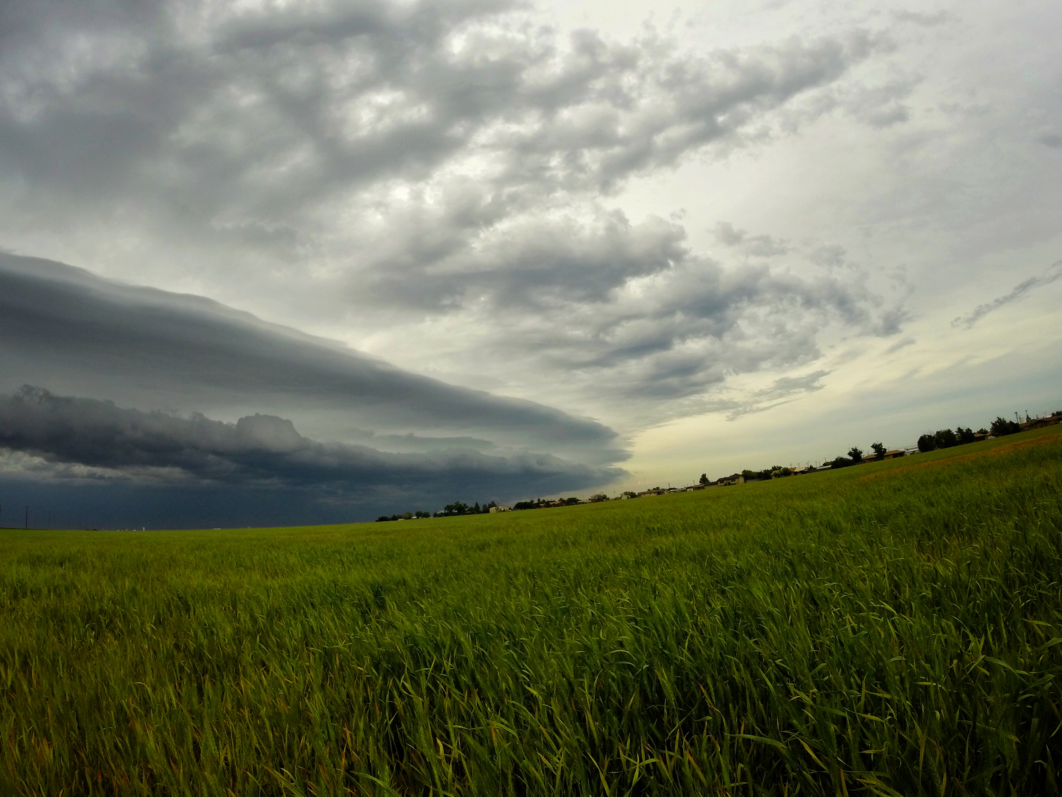
Flanking Line

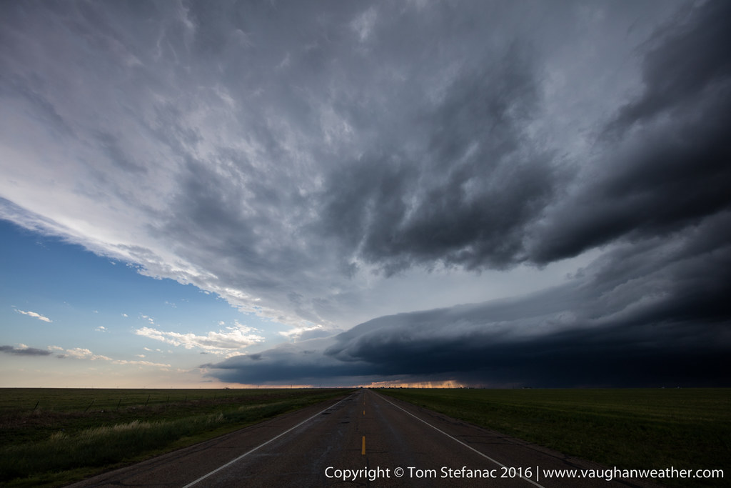
Sunset Supercell

Supercell at Sunset

Supercell at Sunset-3
20160516-085A3967.jpg
Topographic Map of Dumas, TX, USA
Find elevation by address:

Places in Dumas, TX, USA:
Places near Dumas, TX, USA:
Moore County
Lollis Dr, Dumas, TX, USA
Masterson
Cemetery Road
Rosine Ave, Channing, TX, USA
Sherman County
Channing
Hartley
Fritch
Boys Ranch
Potter County
Sanford
Stratford
Stinnett
Hutchinson County
Hartley County
Valle De Oro Detectors
Bluebonnet Dr, Amarillo, TX, USA
Margaret Ave, Dalhart, TX, USA
Dalhart
Recent Searches:
- Elevation of Corso Fratelli Cairoli, 35, Macerata MC, Italy
- Elevation of Tallevast Rd, Sarasota, FL, USA
- Elevation of 4th St E, Sonoma, CA, USA
- Elevation of Black Hollow Rd, Pennsdale, PA, USA
- Elevation of Oakland Ave, Williamsport, PA, USA
- Elevation of Pedrógão Grande, Portugal
- Elevation of Klee Dr, Martinsburg, WV, USA
- Elevation of Via Roma, Pieranica CR, Italy
- Elevation of Tavkvetili Mountain, Georgia
- Elevation of Hartfords Bluff Cir, Mt Pleasant, SC, USA