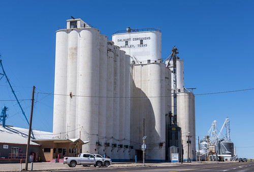
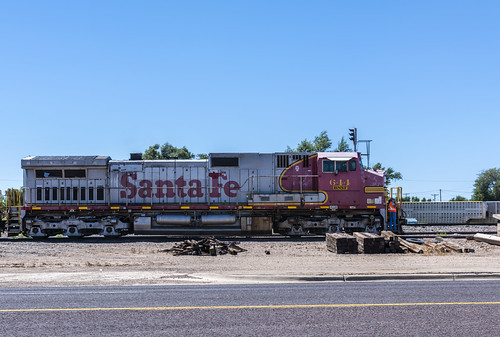
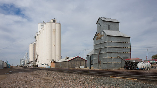
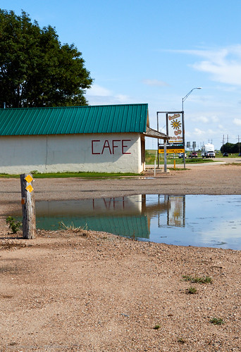
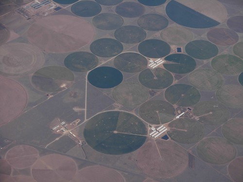
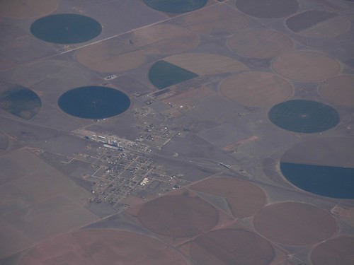
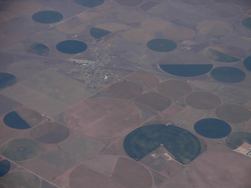
Elevation of Hartley, TX, USA
Location: United States > Texas > Hartley County >
Longitude: -102.39686
Latitude: 35.8855926
Elevation: 1191m / 3907feet
Barometric Pressure: 88KPa
Related Photos:
Topographic Map of Hartley, TX, USA
Find elevation by address:

Places near Hartley, TX, USA:
Hartley County
Margaret Ave, Dalhart, TX, USA
Dalhart
Channing
Rosine Ave, Channing, TX, USA
Dallam County
Boys Ranch
Lollis Dr, Dumas, TX, USA
Dumas
Masterson
US-, Dalhart, TX, USA
Moore County
Oldham County
Stratford
Sherman County
Potter County
Vega
Vega Blvd, Vega, TX, USA
Cemetery Road
I-40, Wildorado, TX, USA
Recent Searches:
- Elevation of Corso Fratelli Cairoli, 35, Macerata MC, Italy
- Elevation of Tallevast Rd, Sarasota, FL, USA
- Elevation of 4th St E, Sonoma, CA, USA
- Elevation of Black Hollow Rd, Pennsdale, PA, USA
- Elevation of Oakland Ave, Williamsport, PA, USA
- Elevation of Pedrógão Grande, Portugal
- Elevation of Klee Dr, Martinsburg, WV, USA
- Elevation of Via Roma, Pieranica CR, Italy
- Elevation of Tavkvetili Mountain, Georgia
- Elevation of Hartfords Bluff Cir, Mt Pleasant, SC, USA

