Elevation of Hutchinson County, TX, USA
Location: United States > Texas >
Longitude: -101.43391
Latitude: 35.8031909
Elevation: 960m / 3150feet
Barometric Pressure: 90KPa
Elevation Map:
Satellite Map:
Related Photos:
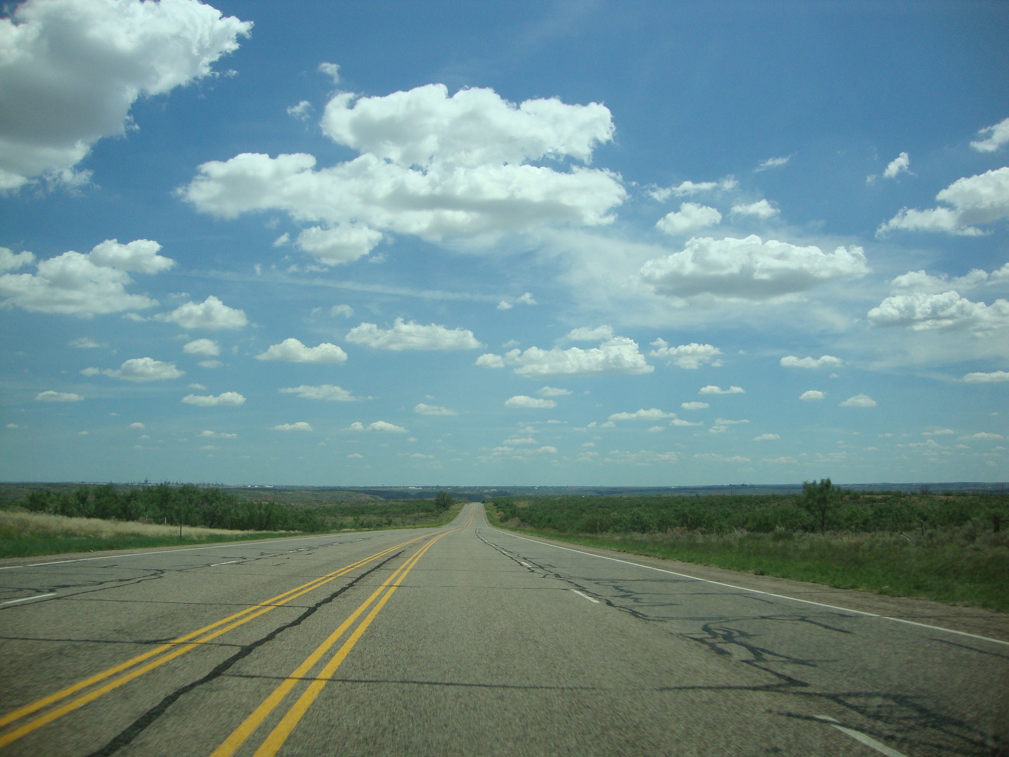
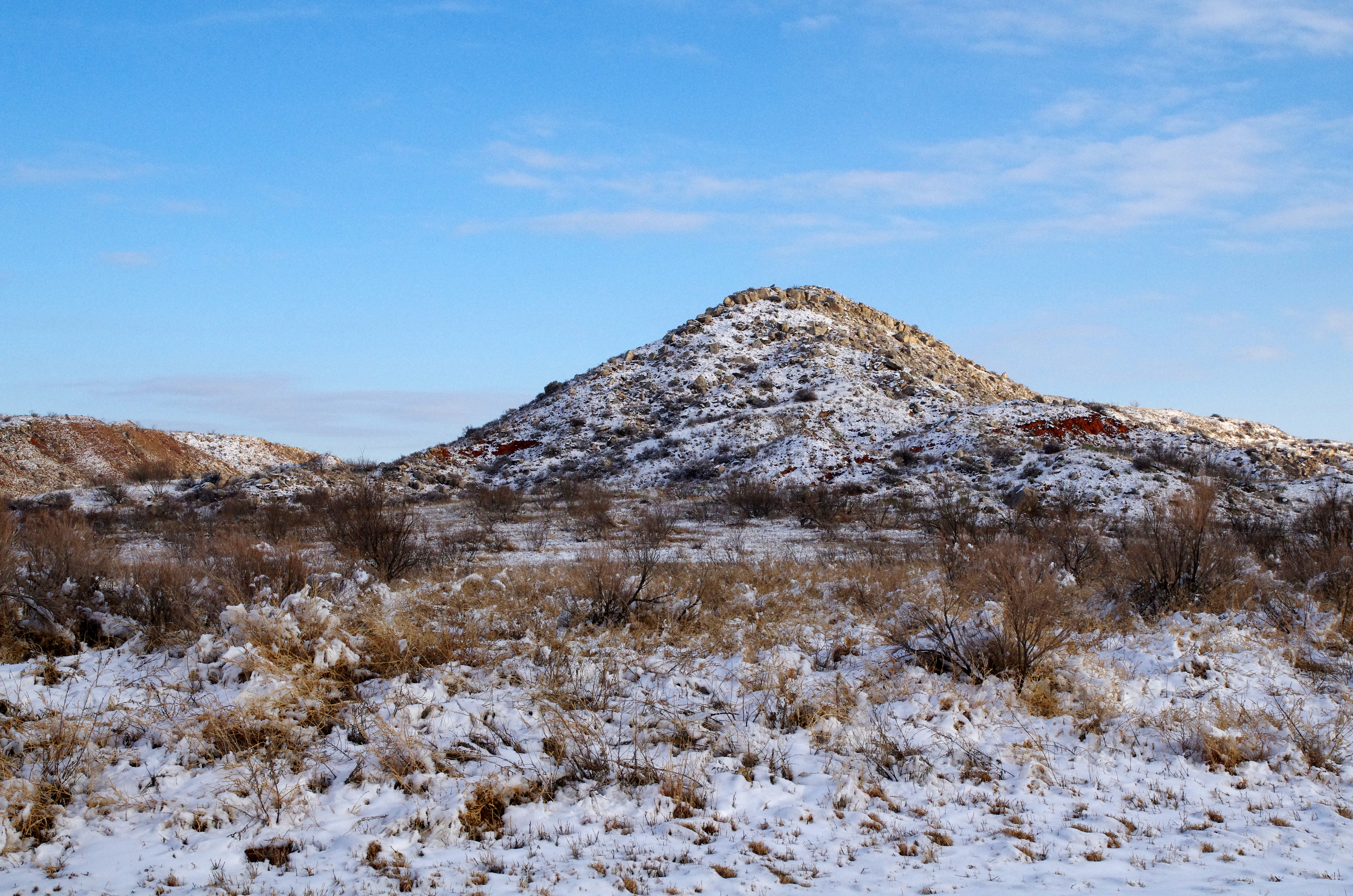
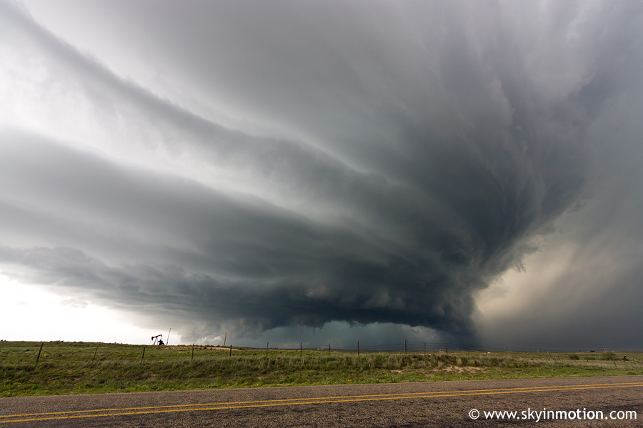
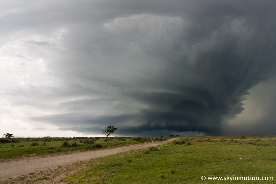
DSC03544
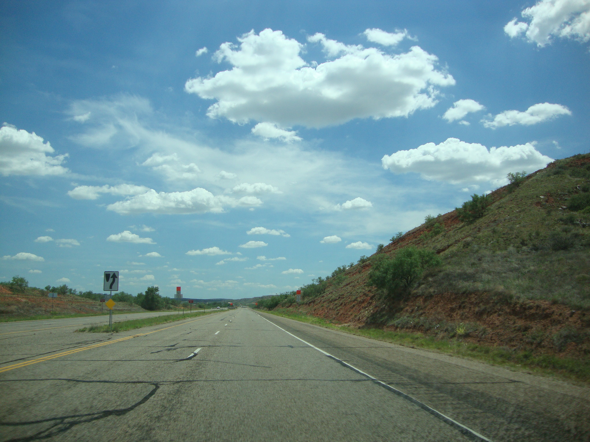
DSC03546
DSC03567
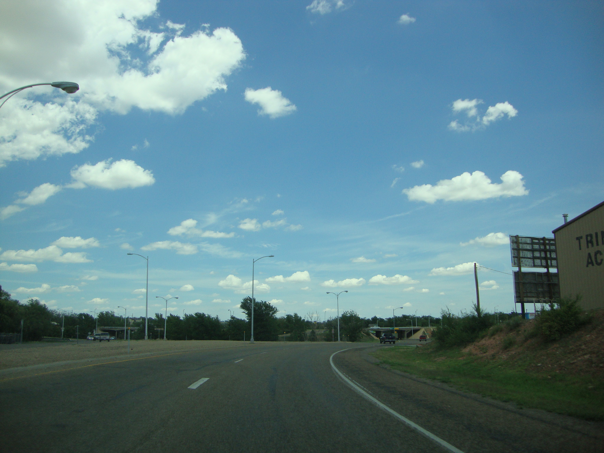
DSC03565
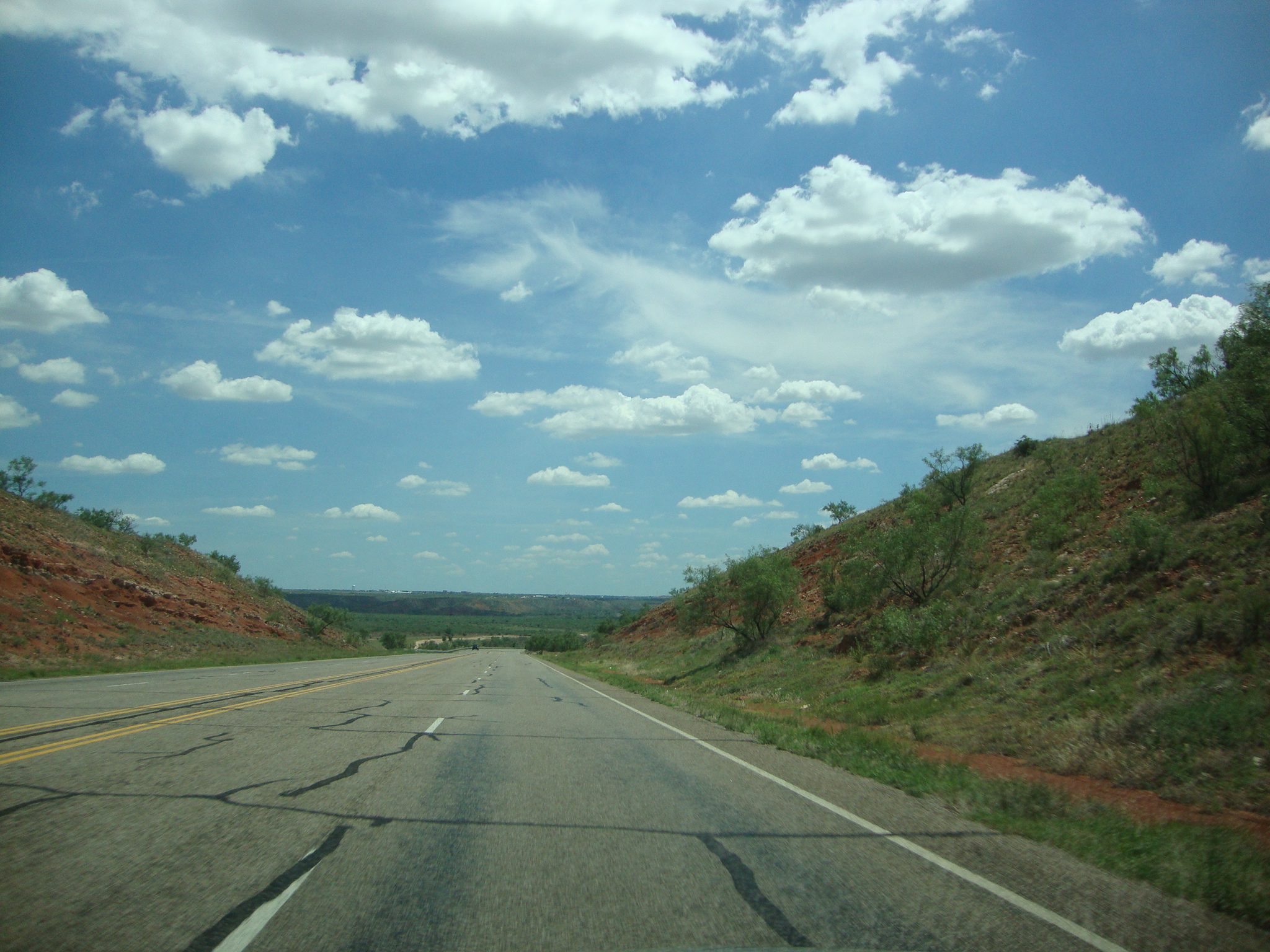
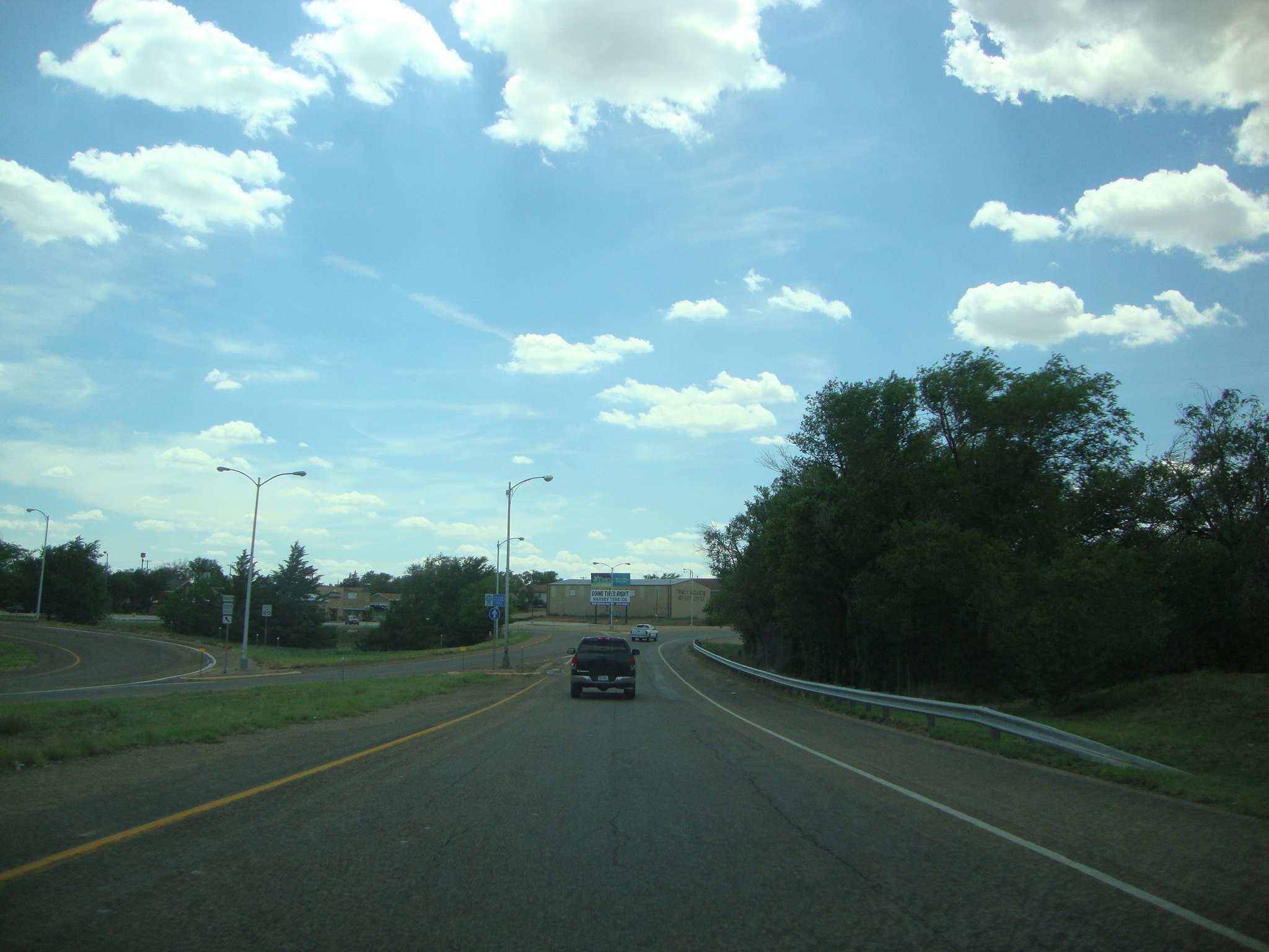
DSC03545
Lake Meredith Stilling Basin

Our #sundayfunday at #lakemeredith. #miahhall and auntie had fun on the boat dock. #lake #Fritch #fritchtexas #texas #visittexas #fishing #boating #boat #boats #fish
2010-05-19_2914

2010-05-19_2943
2010-05-19_2921
Topographic Map of Hutchinson County, TX, USA
Find elevation by address:

Places in Hutchinson County, TX, USA:
Places near Hutchinson County, TX, USA:
Stinnett
Borger
W 3rd St, Borger, TX, USA
Sanford
1310 Evergreen St
Fritch
Carson County
Cemetery Road
Moore County
Panhandle
E 4th St, Gruver, TX, USA
Hansford County
Dumas
Masterson
Lollis Dr, Dumas, TX, USA
Bluebonnet Dr, Amarillo, TX, USA
TX-, Amarillo, TX, USA
E Amarillo Blvd, Amarillo, TX, USA
Rick Husband Amarillo International Airport
Valle De Oro Detectors
Recent Searches:
- Elevation of Corso Fratelli Cairoli, 35, Macerata MC, Italy
- Elevation of Tallevast Rd, Sarasota, FL, USA
- Elevation of 4th St E, Sonoma, CA, USA
- Elevation of Black Hollow Rd, Pennsdale, PA, USA
- Elevation of Oakland Ave, Williamsport, PA, USA
- Elevation of Pedrógão Grande, Portugal
- Elevation of Klee Dr, Martinsburg, WV, USA
- Elevation of Via Roma, Pieranica CR, Italy
- Elevation of Tavkvetili Mountain, Georgia
- Elevation of Hartfords Bluff Cir, Mt Pleasant, SC, USA