Elevation of Sherburne Wildlife Management Area, Krotz Springs, LA, USA
Location: United States > Louisiana > St. Martin Parish > >
Longitude: -91.715114
Latitude: 30.4579722
Elevation: 6m / 20feet
Barometric Pressure: 101KPa
Elevation Map:
Satellite Map:
Related Photos:
The view off our porch this morning. So peaceful.

My rear view.

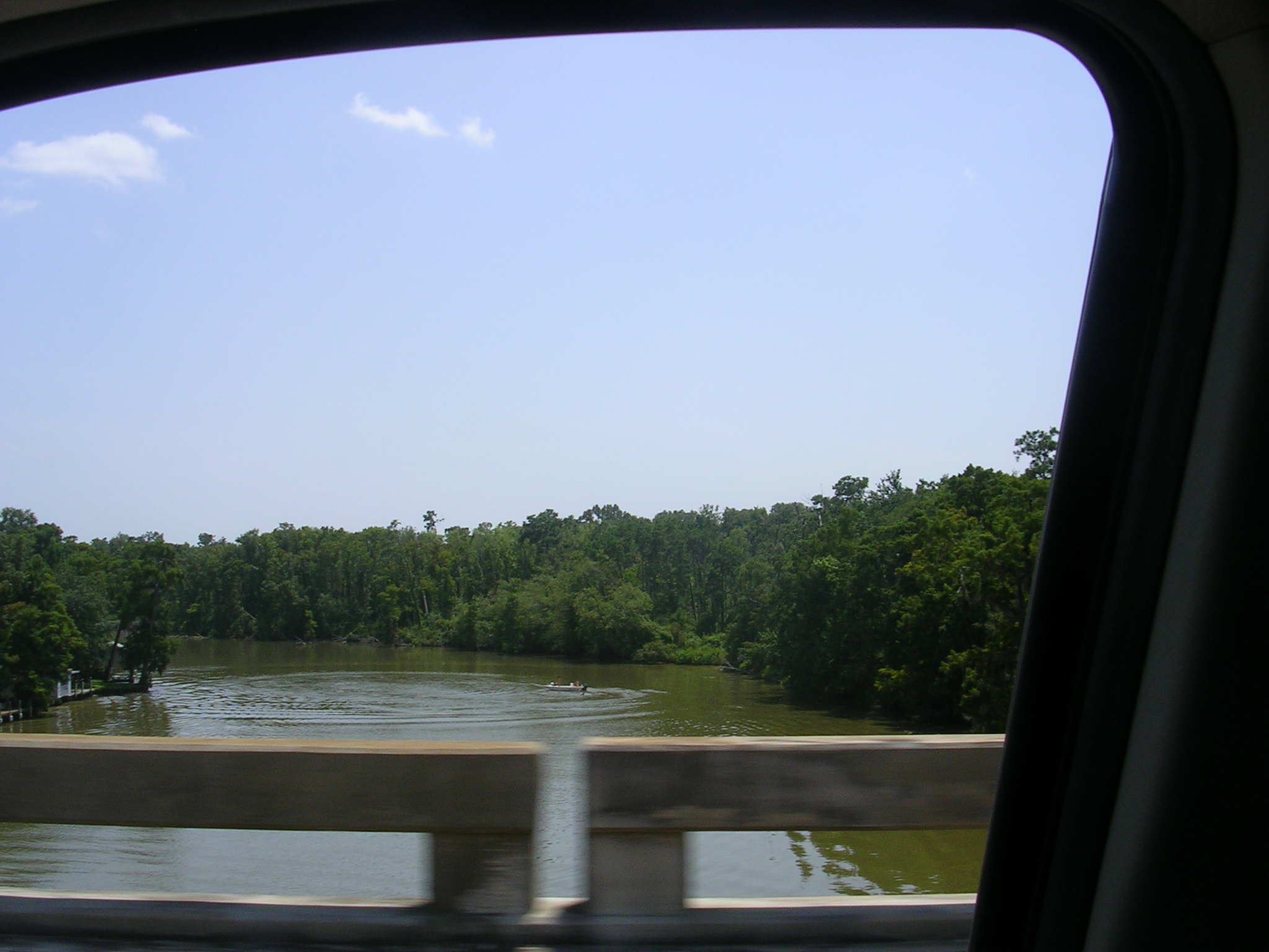
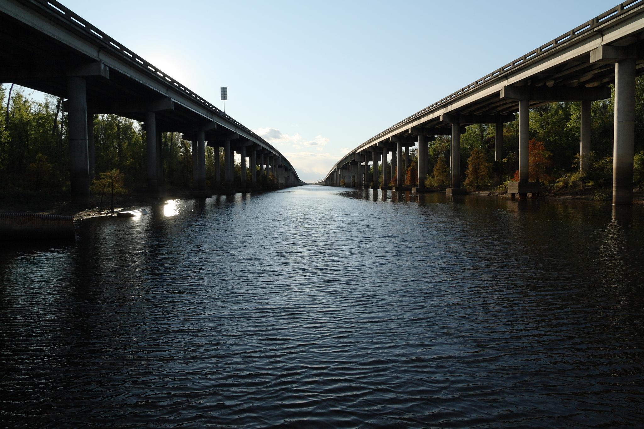
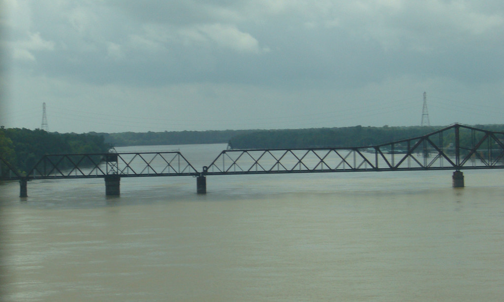
View from the 20 mile bridge.
Indian Bayou(uhgp)

Indian Bayou
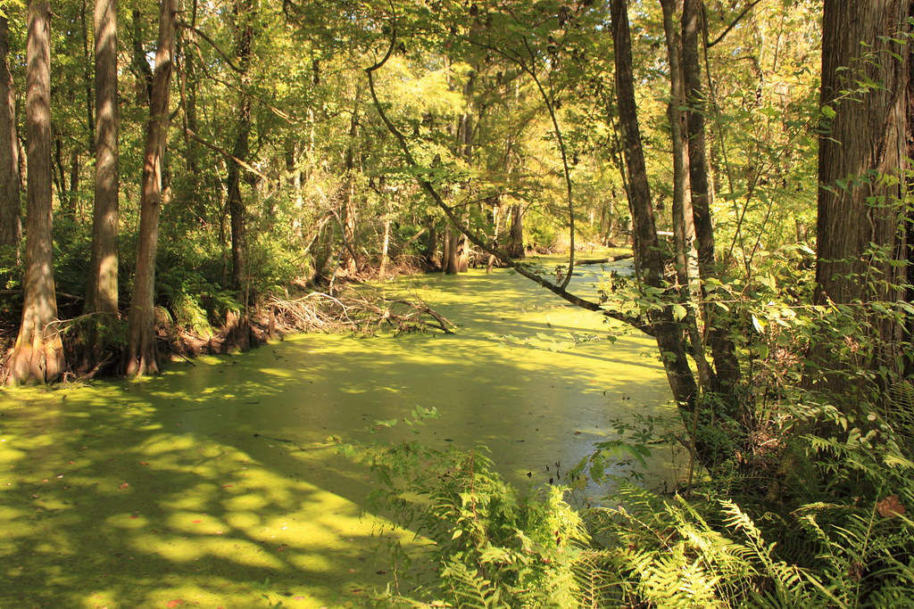
A creek
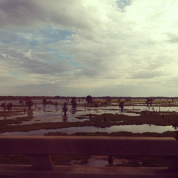
Distant view
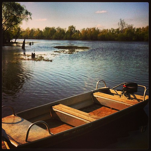
View from the Boat Ramp
Remember...
Botany Bay Rd.
Botany Bay Rd.
Indian Bayou
Botany Bay Rd.
Almost there

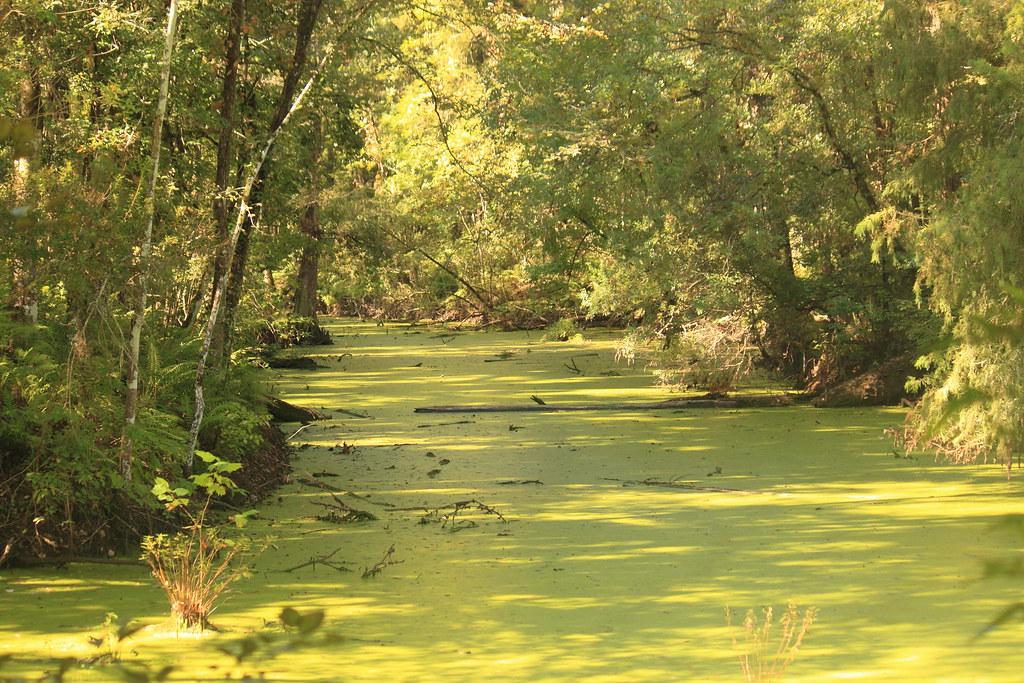
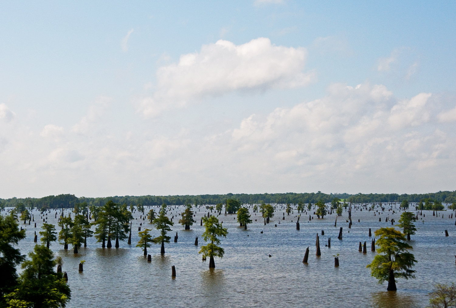
Atchafalaya Swamp

River meets swamp. I love swamp :)
Westbound Lanes of Interstate 10 Crossing Atchafalaya Swamp (looking west)
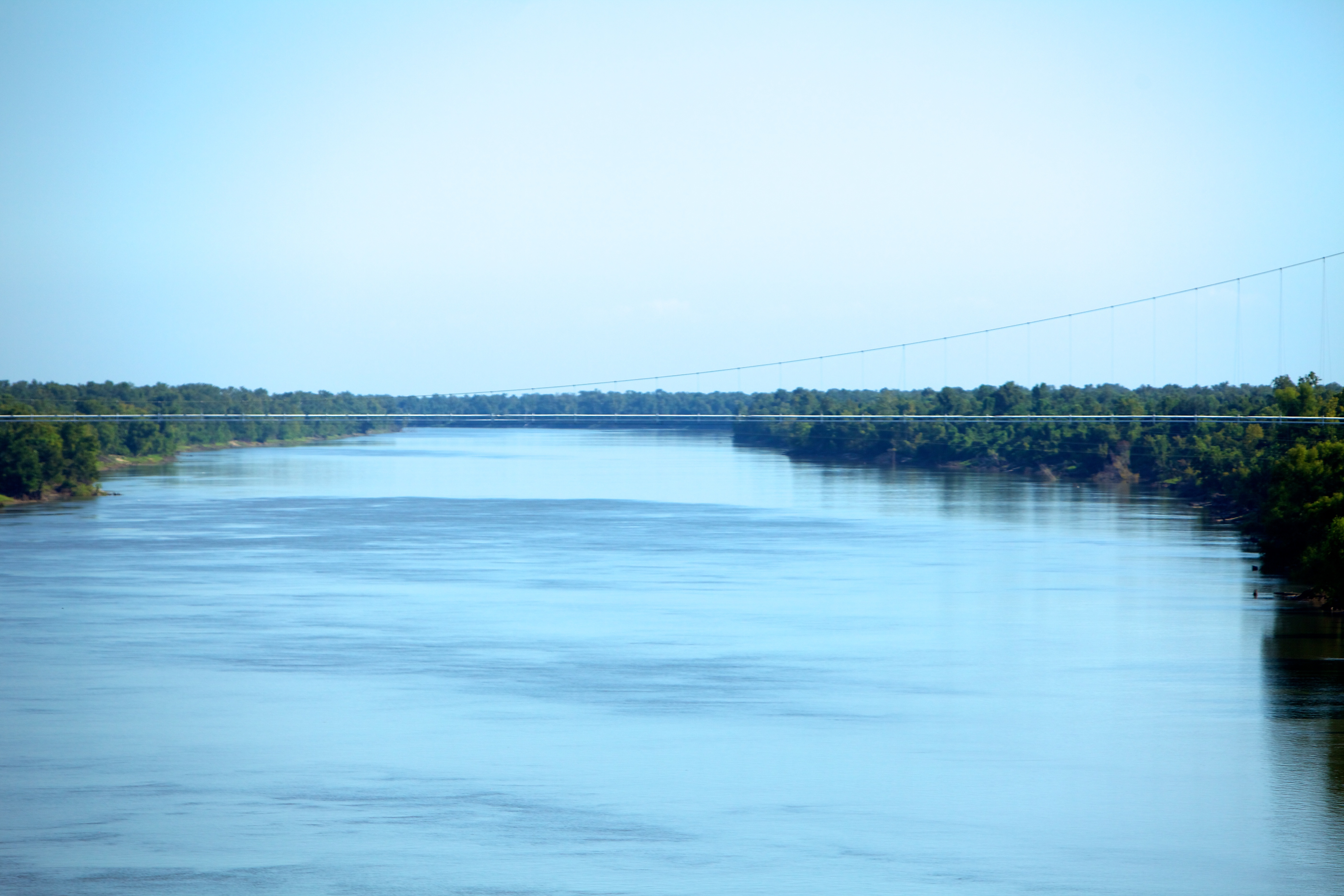
The Atchafalaya River

Cypress Grove in the Atchafalaya Basin 2

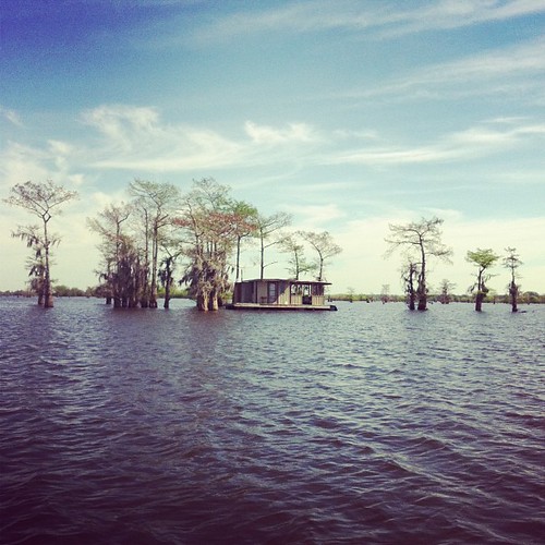
swamp living
Swamp land #Valencia #roadtrip #LA

Smoldering House No 1 (iPhone)
day18 630
Bayou living.

View from the 20 mile bridge.
Indian Bayou(kcz1)

Cypress Grove in the Atchafalaya Basin 1
Topographic Map of Sherburne Wildlife Management Area, Krotz Springs, LA, USA
Find elevation by address:

Places near Sherburne Wildlife Management Area, Krotz Springs, LA, USA:
8, LA, USA
Whiskey Bay Hwy, Breaux Bridge, LA, USA
6, LA, USA
Atchafalaya Basin
Lottie
2115 Atchafalaya River Hwy
2190 Atchafalaya River Hwy
1079 Par Rd 705
Ray Lane
1001 Par Rd 705
11, LA, USA
Portage Levee Road
Breaux Bridge, LA, USA
LA-, Lottie, LA, USA
Toby Rd, Arnaudville, LA, USA
9273 La-105
6287 Fordoche Rd
6260 Fordoche Rd
Grand Point Hwy, Breaux Bridge, LA, USA
Henderson
Recent Searches:
- Elevation of Corso Fratelli Cairoli, 35, Macerata MC, Italy
- Elevation of Tallevast Rd, Sarasota, FL, USA
- Elevation of 4th St E, Sonoma, CA, USA
- Elevation of Black Hollow Rd, Pennsdale, PA, USA
- Elevation of Oakland Ave, Williamsport, PA, USA
- Elevation of Pedrógão Grande, Portugal
- Elevation of Klee Dr, Martinsburg, WV, USA
- Elevation of Via Roma, Pieranica CR, Italy
- Elevation of Tavkvetili Mountain, Georgia
- Elevation of Hartfords Bluff Cir, Mt Pleasant, SC, USA