Elevation of 8, LA, USA
Location: United States > Louisiana > St. Martin Parish >
Longitude: -91.656637
Latitude: 30.40226
Elevation: 7m / 23feet
Barometric Pressure: 101KPa
Elevation Map:
Satellite Map:
Related Photos:
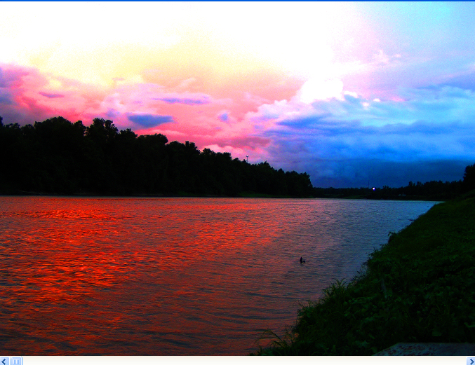
The view off our porch this morning. So peaceful.

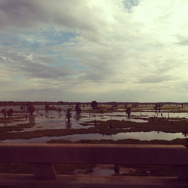
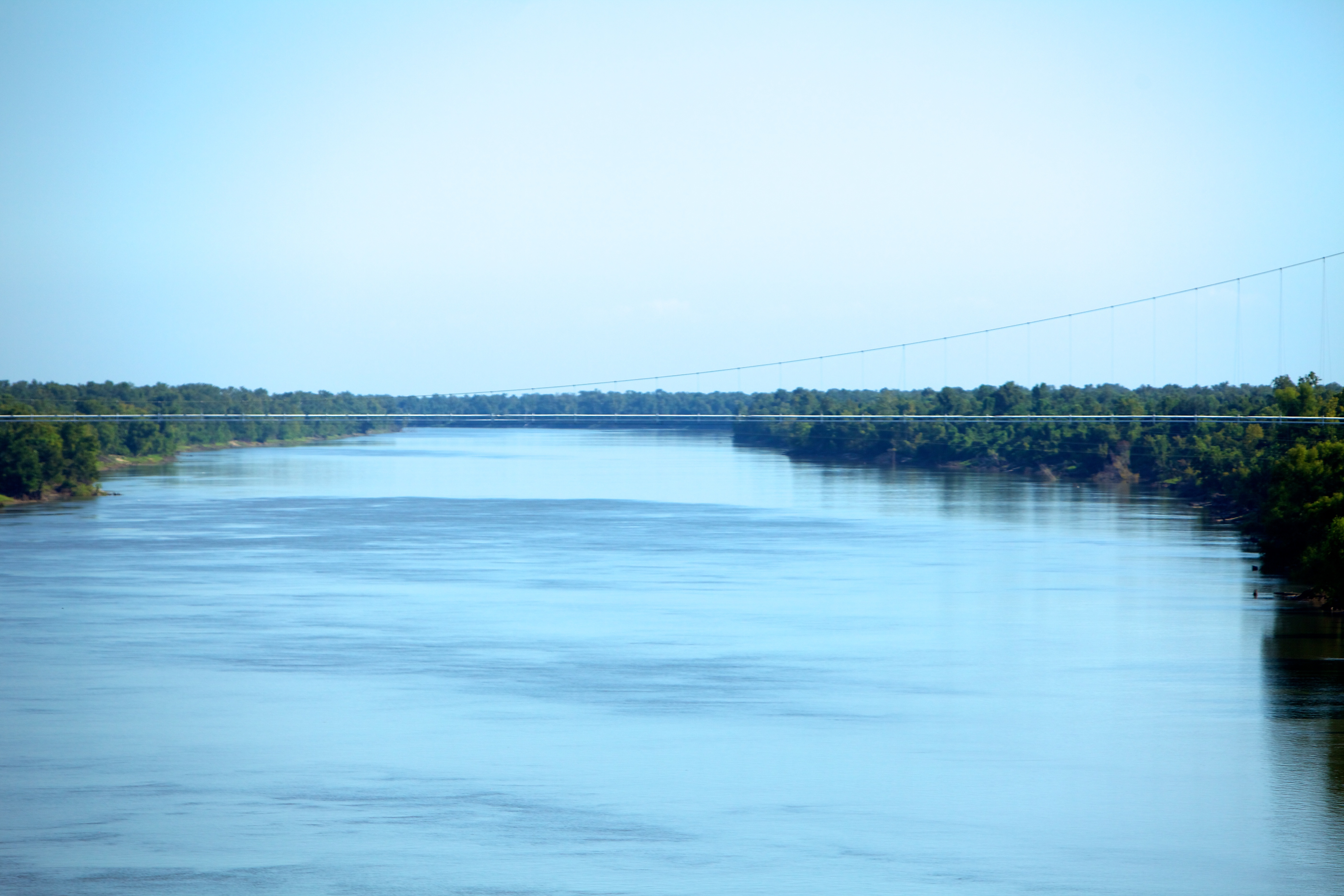
View from the 20 mile bridge.

View from the 20 mile bridge.
Indian Bayou(kcz1)
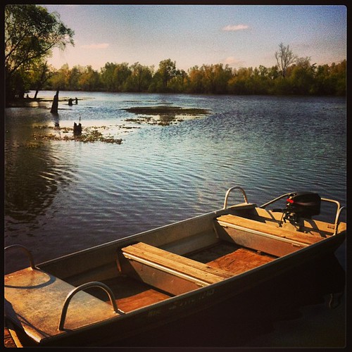
View from the Boat Ramp
Indian Bayou(uhgp)

Indian Bayou
Louisiana Swamps #travellingviews @milogreeneband

River meets swamp. I love swamp :)

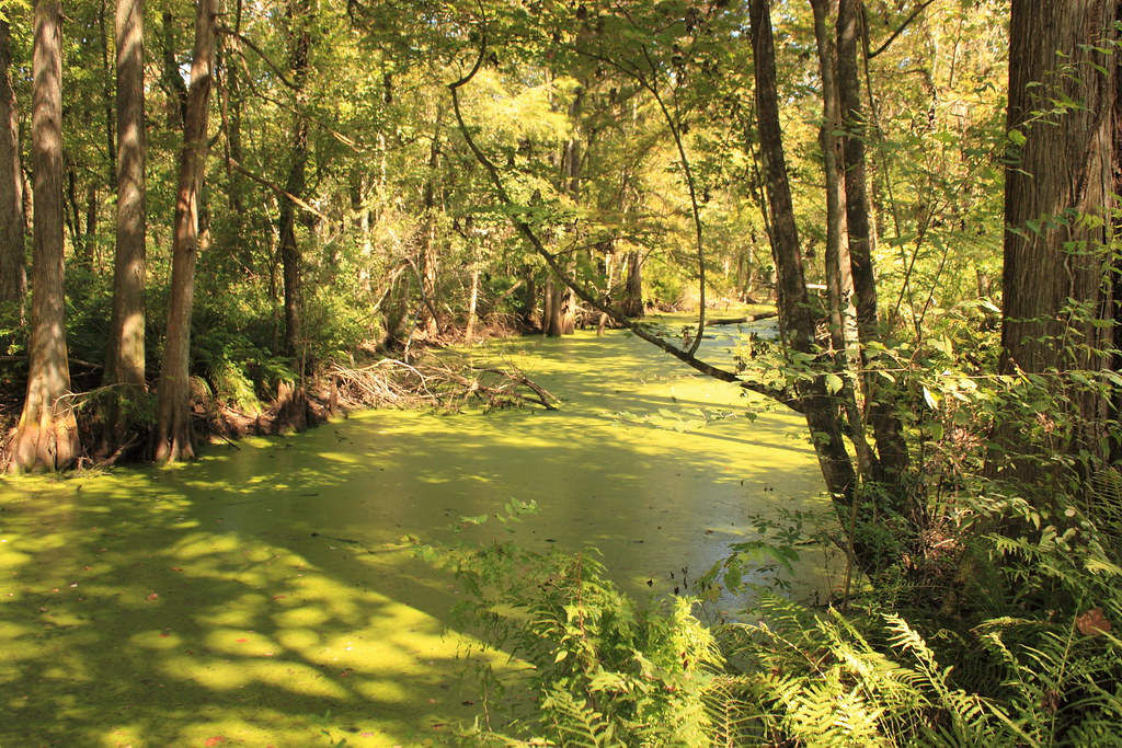
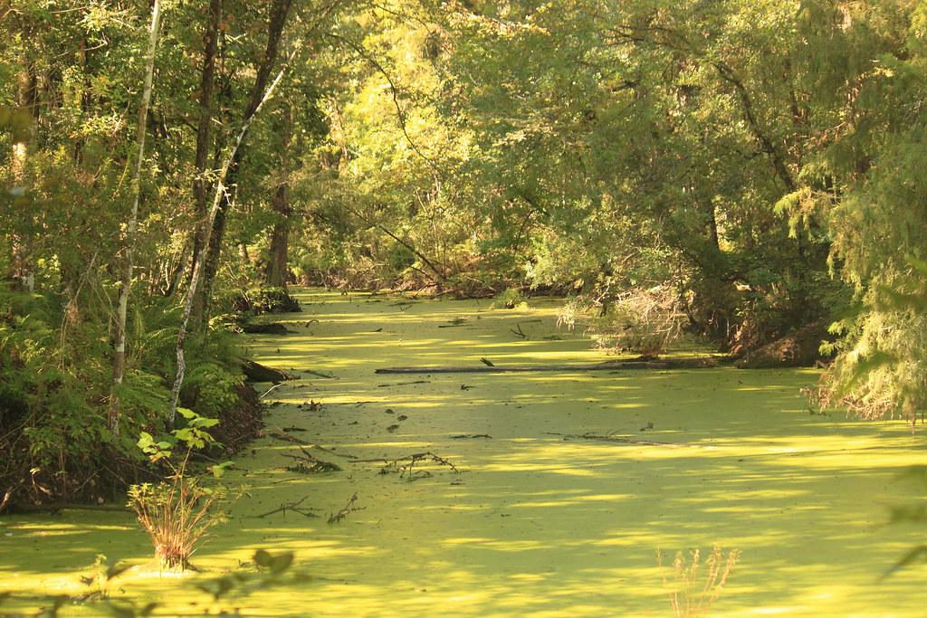
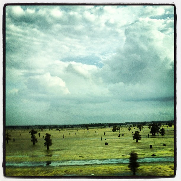
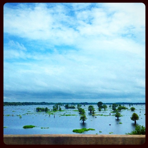
Atchafalaya Swamp
Swamp land #Valencia #roadtrip #LA

Sherburne WMA-South Farm

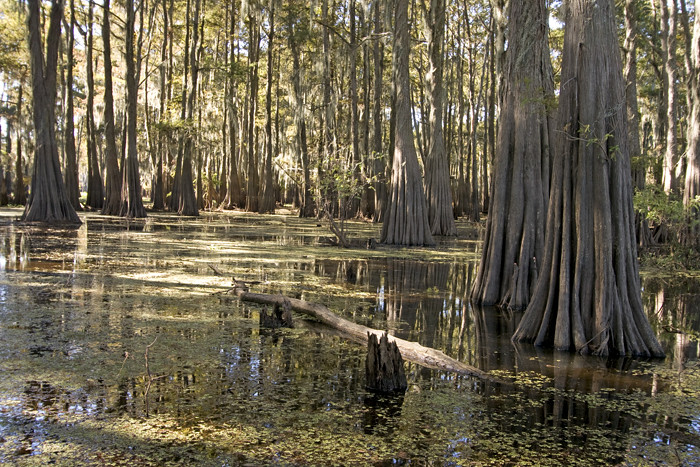
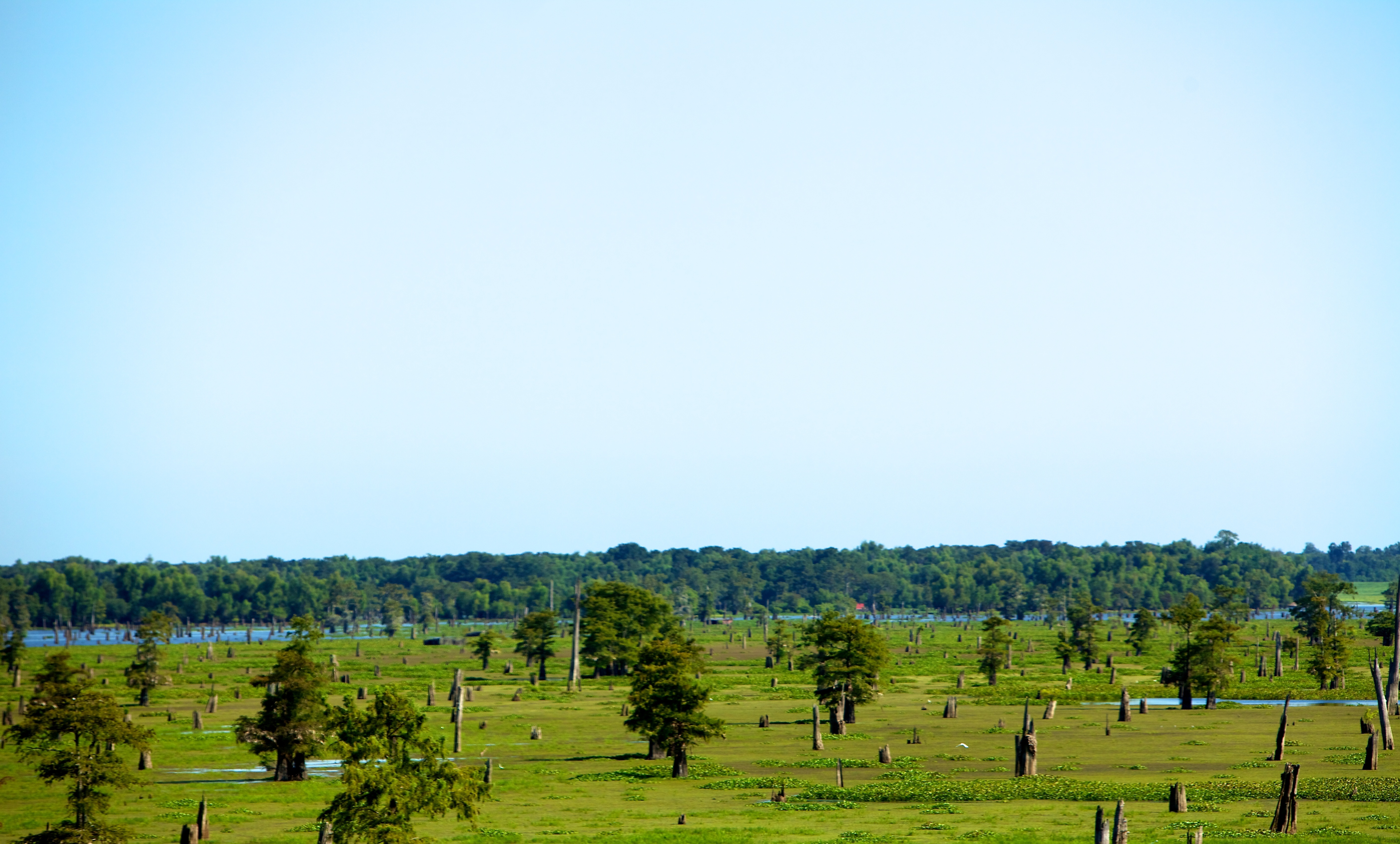
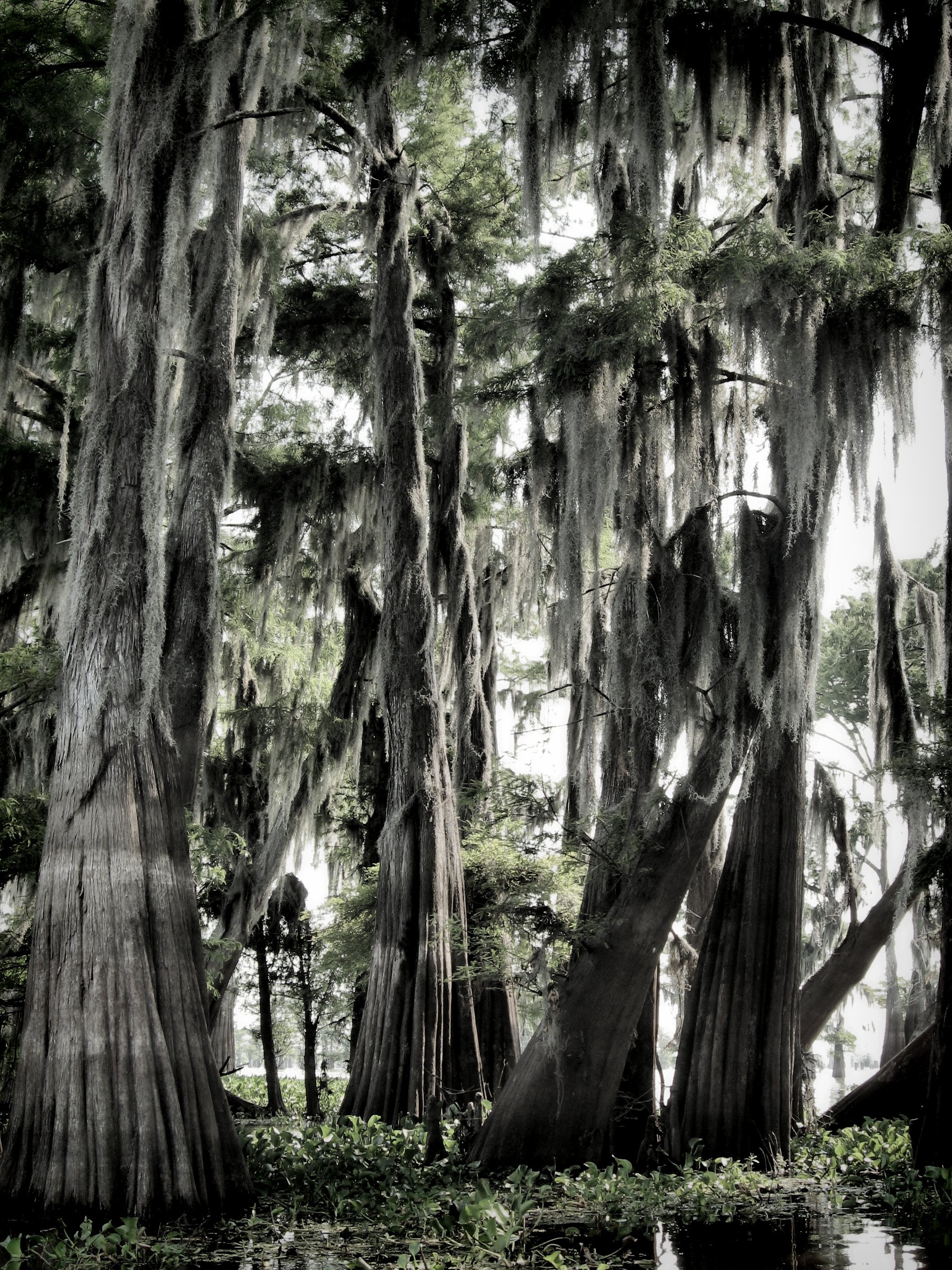
Cypress Grove in the Atchafalaya Basin 2

swamp living
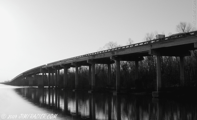
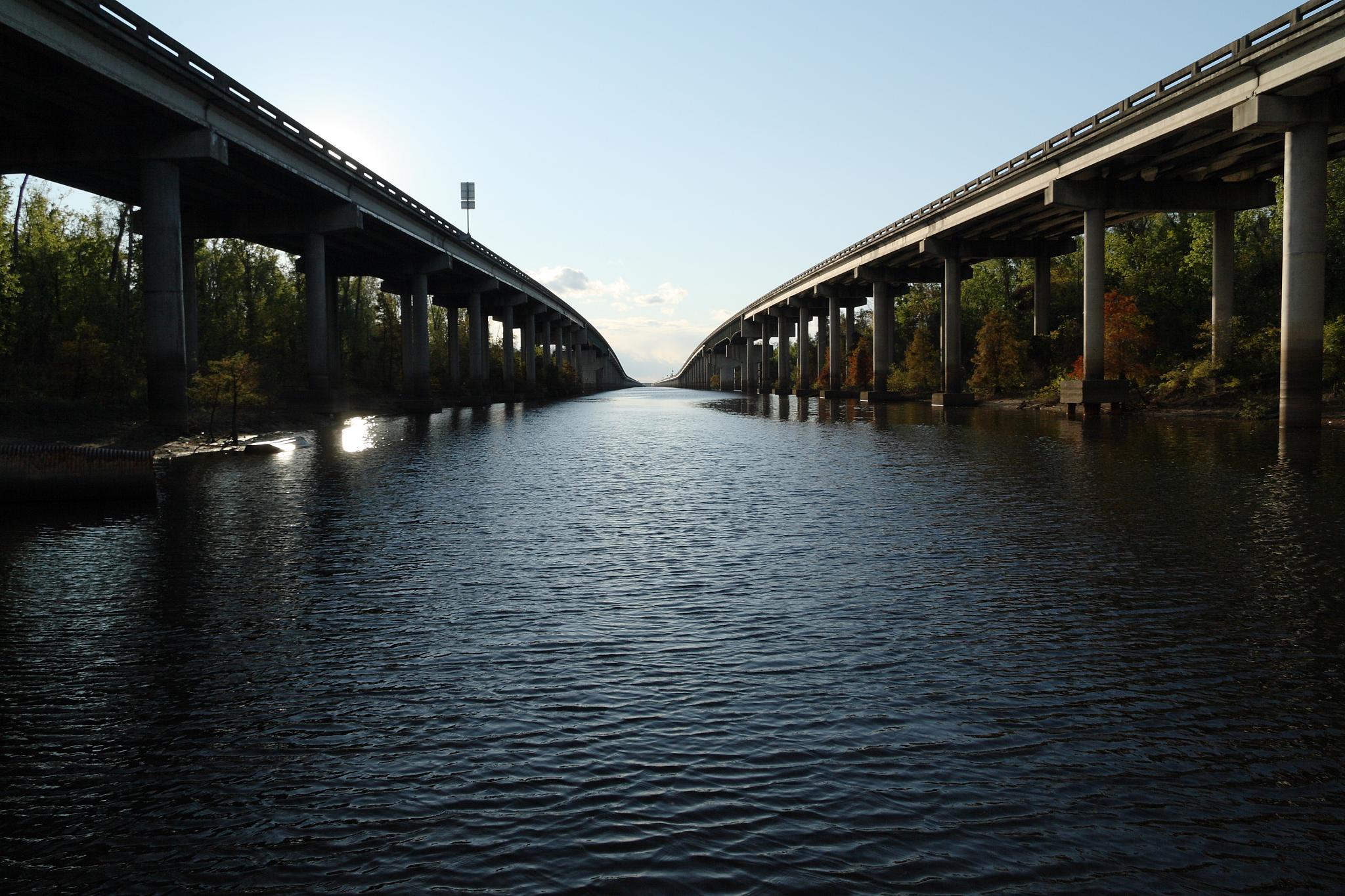
Westbound Lanes of Interstate 10 Crossing Atchafalaya Swamp (looking west)
i'm living in a kind of daydream

Henderson, LA
Almost there
day18 630

Truck_080312_LR-38.jpg
Beauty Of Color
day18 626

Best Bachelor Party Ever-0

atchafalaya swamps
Atchafalaya Swamp 3
Topographic Map of 8, LA, USA
Find elevation by address:

Places in 8, LA, USA:
Places near 8, LA, USA:
Whiskey Bay Hwy, Breaux Bridge, LA, USA
Atchafalaya Basin
Sherburne Wildlife Management Area
2190 Atchafalaya River Hwy
2115 Atchafalaya River Hwy
12, LA, USA
Breaux Bridge, LA, USA
Herman Dupuis Rd, Breaux Bridge, LA, USA
Butte La Rose
1478 Herman Dupuis Rd
5, LA, USA
LA-, Maringouin, LA, USA
Ray Lane
Lottie
1079 Par Rd 705
Henderson
LA-77, Lottie, LA, USA
LA-, Lottie, LA, USA
Maringouin
1461 Henderson Hwy
Recent Searches:
- Elevation of Corso Fratelli Cairoli, 35, Macerata MC, Italy
- Elevation of Tallevast Rd, Sarasota, FL, USA
- Elevation of 4th St E, Sonoma, CA, USA
- Elevation of Black Hollow Rd, Pennsdale, PA, USA
- Elevation of Oakland Ave, Williamsport, PA, USA
- Elevation of Pedrógão Grande, Portugal
- Elevation of Klee Dr, Martinsburg, WV, USA
- Elevation of Via Roma, Pieranica CR, Italy
- Elevation of Tavkvetili Mountain, Georgia
- Elevation of Hartfords Bluff Cir, Mt Pleasant, SC, USA