Elevation of LA-, Lottie, LA, USA
Location: United States > Louisiana > Pointe Coupee Parish > > Lottie >
Longitude: -91.600092
Latitude: 30.5547589
Elevation: 8m / 26feet
Barometric Pressure: 101KPa
Elevation Map:
Satellite Map:
Related Photos:

My rear view.
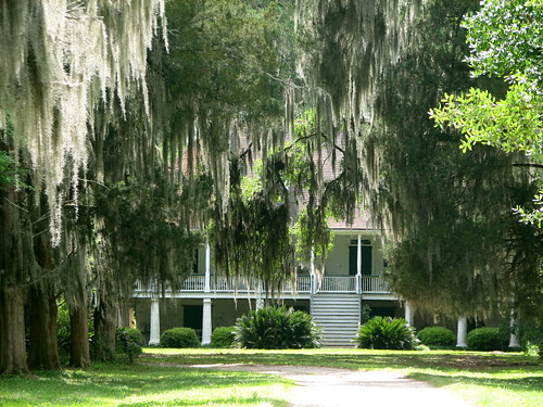
Parlange 1
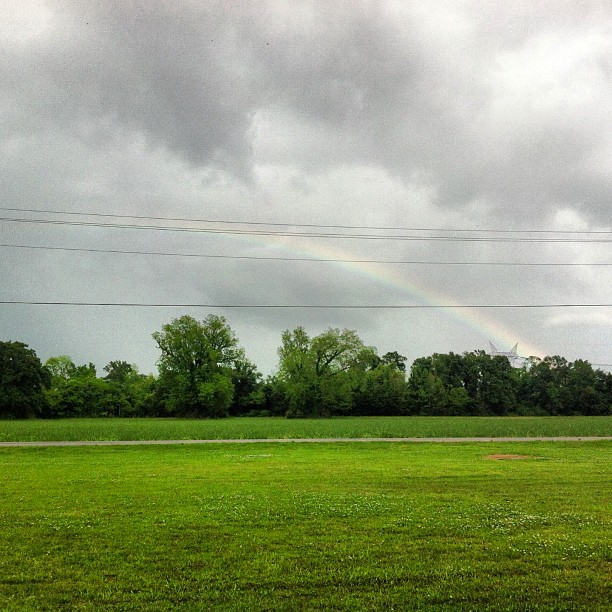
Can you see the #rainbow?? #outside #cloudy #sky #green #trees #louisiana

The Road Home on Christmas

The Road Home on Christmas

The Road Home on Christmas
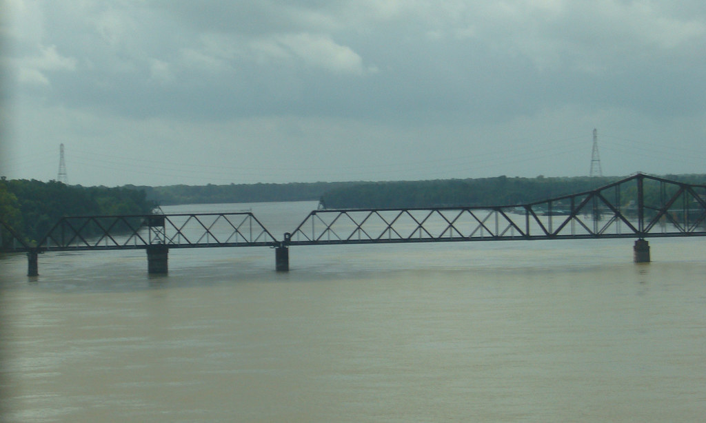
The Atchafalaya River
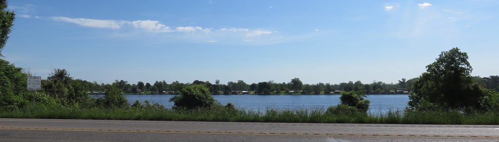
False River (Pointe Coupée Parish, Louisiana)

Sedge Wren in habitat
Fields of Green
Topographic Map of LA-, Lottie, LA, USA
Find elevation by address:

Places near LA-, Lottie, LA, USA:
Lottie
4388 Shows St
Fordoche
Maringouin Rd W, Maringouin, LA, USA
6260 Fordoche Rd
6287 Fordoche Rd
Pointe Coupee Parish
11, LA, USA
LA-77, Lottie, LA, USA
LA-78, Livonia, LA, USA
Maringouin
6, LA, USA
Torbert
10, LA, USA
Sherburne Wildlife Management Area
8273 Island Rd
8, LA, USA
Jarreau
6661 Island Rd
Morganza Hwy, Morganza, LA, USA
Recent Searches:
- Elevation of Corso Fratelli Cairoli, 35, Macerata MC, Italy
- Elevation of Tallevast Rd, Sarasota, FL, USA
- Elevation of 4th St E, Sonoma, CA, USA
- Elevation of Black Hollow Rd, Pennsdale, PA, USA
- Elevation of Oakland Ave, Williamsport, PA, USA
- Elevation of Pedrógão Grande, Portugal
- Elevation of Klee Dr, Martinsburg, WV, USA
- Elevation of Via Roma, Pieranica CR, Italy
- Elevation of Tavkvetili Mountain, Georgia
- Elevation of Hartfords Bluff Cir, Mt Pleasant, SC, USA