Elevation of LA-, Melville, LA, USA
Location: United States > Louisiana > St. Landry Parish > > Melville >
Longitude: -91.759873
Latitude: 30.612126
Elevation: 8m / 26feet
Barometric Pressure: 101KPa
Elevation Map:
Satellite Map:
Related Photos:

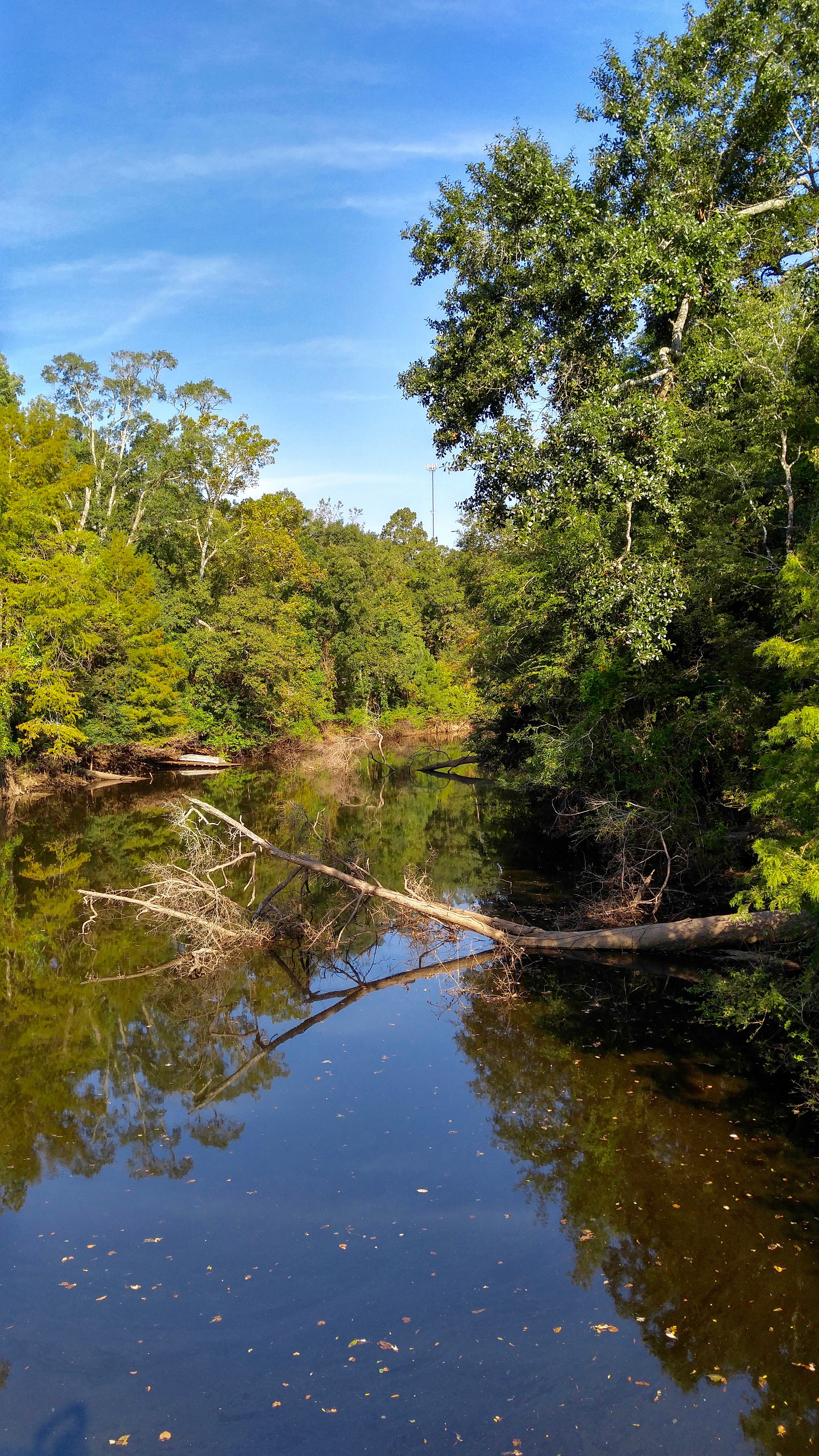
A creek
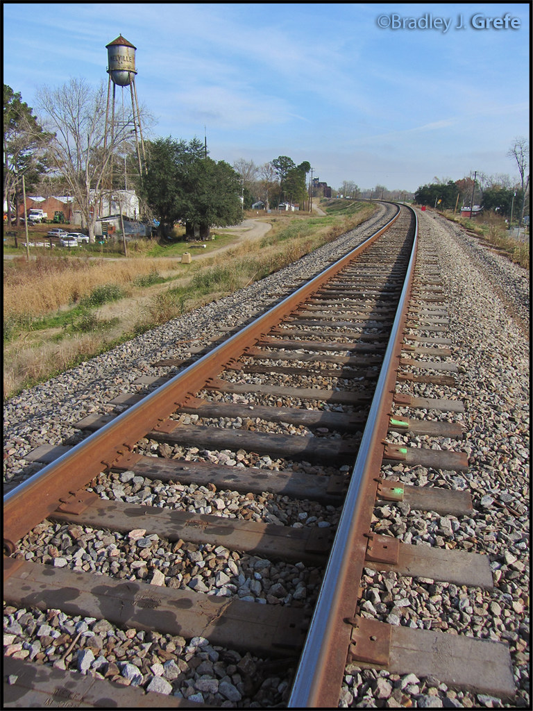
Composite Ties - Melville, LA

My rear view.

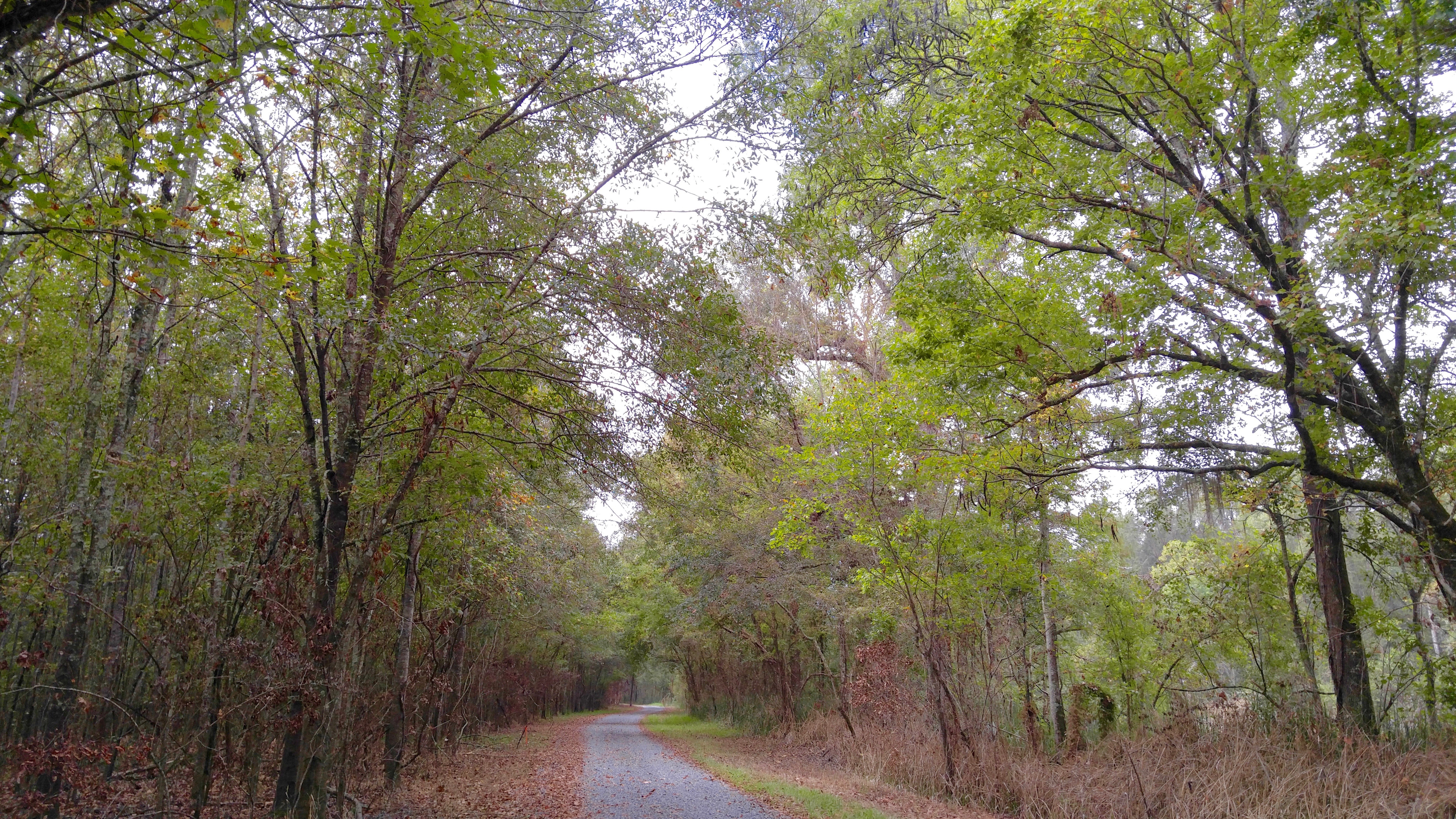
Bayou Gerimond Rd.

Land of Lakes Farm

Bayou Gerimond Rd

The Atchafalaya River

Bayou Gerimond Rd.

Land of Lakes Farm

Land of Lakes Farm

a IMG_2099 river and pump station

a IMG_2074 batchelor levee and river levee southwest of mitigation
Big Alabama Bayou Rd., Sherburne WMA

Close Bayou, Sherburne WMA

Land of Lakes Farm

Bayou Gerimond Rd.

Sedge Wren in habitat

Land of Lakes Farm

Bayou Germond Rd.

Williamson Spur Rd.
Williamson Spur Rd.

Bayou Gerimond Rd.
Topographic Map of LA-, Melville, LA, USA
Find elevation by address:

Places near LA-, Melville, LA, USA:
212 Mc Neil St
Melville
11, LA, USA
Goodwood
6287 Fordoche Rd
6260 Fordoche Rd
Lottie
6, LA, USA
Fordoche
4388 Shows St
Carmons Rd, Palmetto, LA, USA
Sherburne Wildlife Management Area
LA-10, Palmetto, LA, USA
Pointe Coupee Parish
636 La-360
LA-, Lottie, LA, USA
US-, Port Barre, LA, USA
Palmetto
LA-, Melville, LA, USA
Port Barre
Recent Searches:
- Elevation of Corso Fratelli Cairoli, 35, Macerata MC, Italy
- Elevation of Tallevast Rd, Sarasota, FL, USA
- Elevation of 4th St E, Sonoma, CA, USA
- Elevation of Black Hollow Rd, Pennsdale, PA, USA
- Elevation of Oakland Ave, Williamsport, PA, USA
- Elevation of Pedrógão Grande, Portugal
- Elevation of Klee Dr, Martinsburg, WV, USA
- Elevation of Via Roma, Pieranica CR, Italy
- Elevation of Tavkvetili Mountain, Georgia
- Elevation of Hartfords Bluff Cir, Mt Pleasant, SC, USA