Elevation of Shelley VIC, Australia
Location: Australia > Victoria > Towong Shire >
Longitude: 147.544429
Latitude: -36.186935
Elevation: 778m / 2552feet
Barometric Pressure: 92KPa
Elevation Map:
Satellite Map:
Related Photos:

Walkers Mill Shelley 1, Vic. c 1964

Lawrence Lookout

View from Lawrence Lookout

Murray Valley Highway views

Walkers Mill Shelley 5, Vic Aust, c 1987.

Boggy Creek Railway Underpass
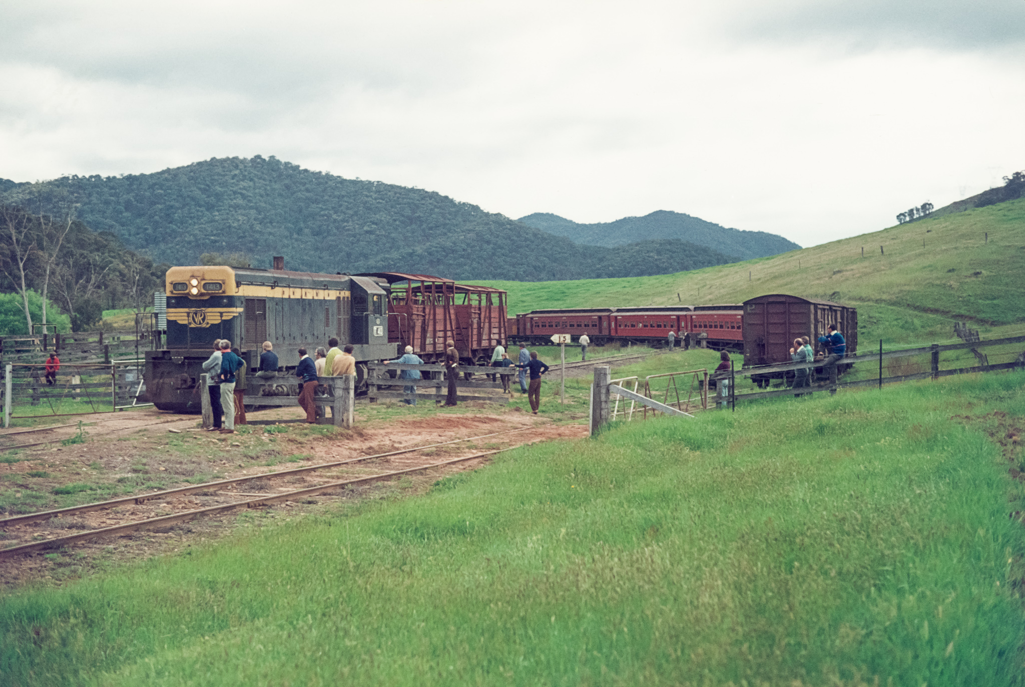
T413 Beetoomba

Campsite, Lawrence Lookout

Campsite, Lawrence Lookout

Snowy Mountains
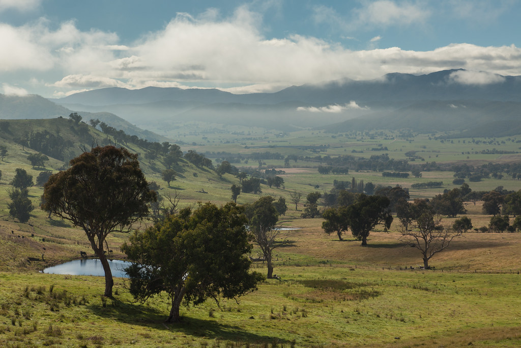
Alpine Valley
Topographic Map of Shelley VIC, Australia
Find elevation by address:

Places near Shelley VIC, Australia:
Towong Shire
Jarvis Creek
1/1057 Sirls Rd
Mitta Mitta
Tallangatta Health Service
Kergunyah South
City Of Albury
Greater Hume Shire Council
258 Peechelba St
East Albury
South Albury
Albury
Albury
Glenroy
634 Lindsay Ave
Wodonga City
The River Deck Cafe; Restaurant, Cafe, Wedding And Function Venu
19 Harvey Ct
Lincoln Causeway
Gateway Island
Recent Searches:
- Elevation of Corso Fratelli Cairoli, 35, Macerata MC, Italy
- Elevation of Tallevast Rd, Sarasota, FL, USA
- Elevation of 4th St E, Sonoma, CA, USA
- Elevation of Black Hollow Rd, Pennsdale, PA, USA
- Elevation of Oakland Ave, Williamsport, PA, USA
- Elevation of Pedrógão Grande, Portugal
- Elevation of Klee Dr, Martinsburg, WV, USA
- Elevation of Via Roma, Pieranica CR, Italy
- Elevation of Tavkvetili Mountain, Georgia
- Elevation of Hartfords Bluff Cir, Mt Pleasant, SC, USA