Elevation of Kergunyah South VIC, Australia

Location: Australia > Victoria > Alpine Shire >

Longitude: 147.036162

Latitude: -36.426842

Elevation: 213m / 699feet

Barometric Pressure: 99KPa

Elevation Map:

elevation map of Kergunyah South VIC, Australia

Satellite Map:

Satellite map of Kergunyah South VIC, Australia

Related Photos:

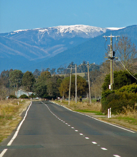
road winter snow mountains canon highway australia victoria alpine canonpowershot northeastvictoria dederang runningcreek mountfainter phunnyfotos
Mount Fainter
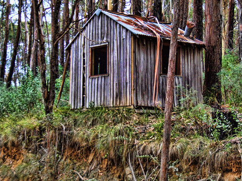
hut highcountryvictoria topazadjustments
Logers Hut
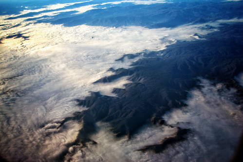
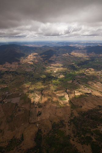
camera blue light shadow sky cloud black green art classic plane canon silver dark fun grey exposure play view respect outdoor flight culture style australia funky aerial special exotic depth interest act challenging 2013 60d
The Great Dividing Range
taxonomy:order=odonata wings hindwing odonata geo:country=australia taxonomy:family=austrocorduliidae australia austrocorduliidae forewing anic australiannationalinsectcollection macrops taxonomy:binomial=apocorduliamacrops nighthawk dragonfly apocordulia apocorduliamacrops anisoptera
Apocordulia macrops male wings
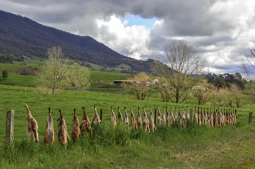
rural fence dead spring nikon farm farming australia victoria fox vic foxes vermin feral hff northeastvictoria feralanimals kiewavalley dederang d5100 nikond5100 phunnyfotos
35 and still counting . .
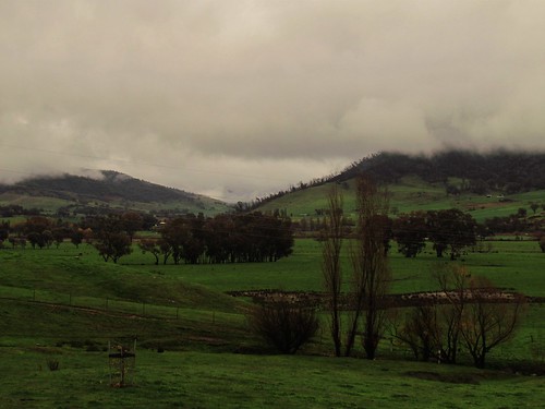
winter sky cloud mountains weather clouds rural fence countryside nikon day skies dam farm farming sunny australia victoria hills clear valley vic hilly wetland paddock photodrive p600 northeastvictoria kiewavalley dederang runningcreek nikoncoolpixp600 phunnyfotos
Kiewa Valley
winter cloud weather animals clouds rural fence landscape dead nikon deadanimals farm farming hunting australia victoria fox vic shooting foxes 19 vermin pests nineteen foxhunting feral paddock hff farmfence 3691 northeastvictoria austpctagged feralanimals kiewavalley dederang wildlifeprotection pc3691 d5100 nikond5100 phunnyfotos deadindederang
Not such a HFF for these feral foxes
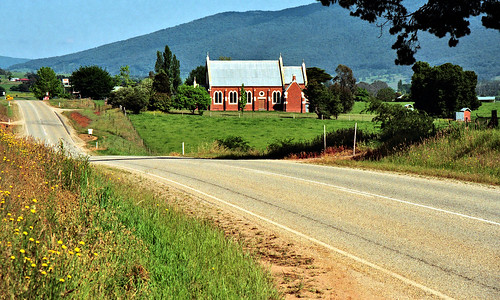
dederang vic church victoria landscape country rural township australia hills perspective road outback stjoseph historic jeffc aussiejeff
Oct 1995 - Looking north towards historic old St Joseph's church, located just south of Dederang in the beautiful Kiewa Valley region of Victoria, Australia
sunset 6 sun rural landscape happy countryside high country north victoria east valley rays happyvalley highcountry nex northeastvictoria nex6
Nov 15 Happy Valley-29.jpg
australia victoria vic gundowring
High Above the High Country
australia victoria vic gundowring
The Kiewa
trees mountains rocks australia victoria autumncolours rivers aus victorianalps
150603_Bright_Falls_Creek_1238.jpg
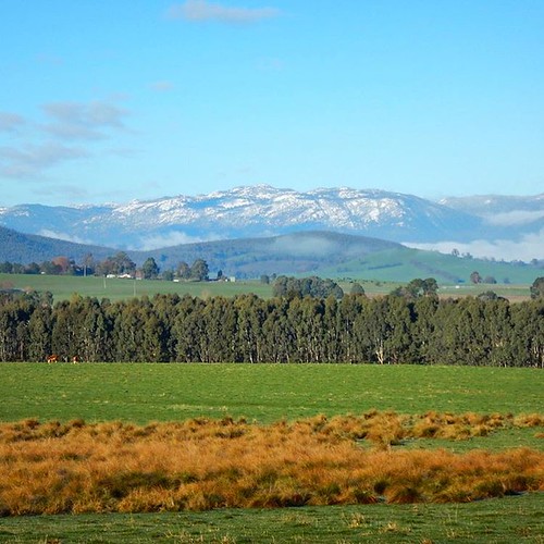
winter australia victoria 1june
Kiewa Valley
victoria deadtree kancoona
Kancoona's Dead Tree in Summer
winter australia victoria 1june
Towards Dederang
square squareformat iphoneography instagramapp uploaded:by=instagram
Cold snap
Long Road tp Nowhere
kergunyah victoria australia au
_MG_0226-Pano-2
early morning walk collaroy