Elevation of Myrtleford VIC, Australia
Location: Australia > Victoria > Alpine Shire >
Longitude: 146.723786
Latitude: -36.555544
Elevation: 214m / 702feet
Barometric Pressure: 99KPa
Elevation Map:
Satellite Map:
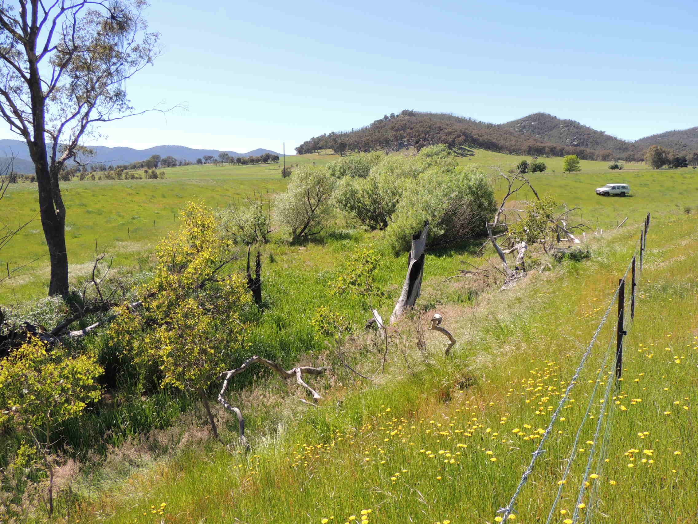
Related Photos:
sunrise. Mt Buffalo
Panorama view of the burnt Mudgegonga Hills, after
Austrogomphus guerini male wings

20120713_4488 eucaltpt and creek
20120713_4487 eucalypt and reflection

20160504-_DSC2350-825.jpg

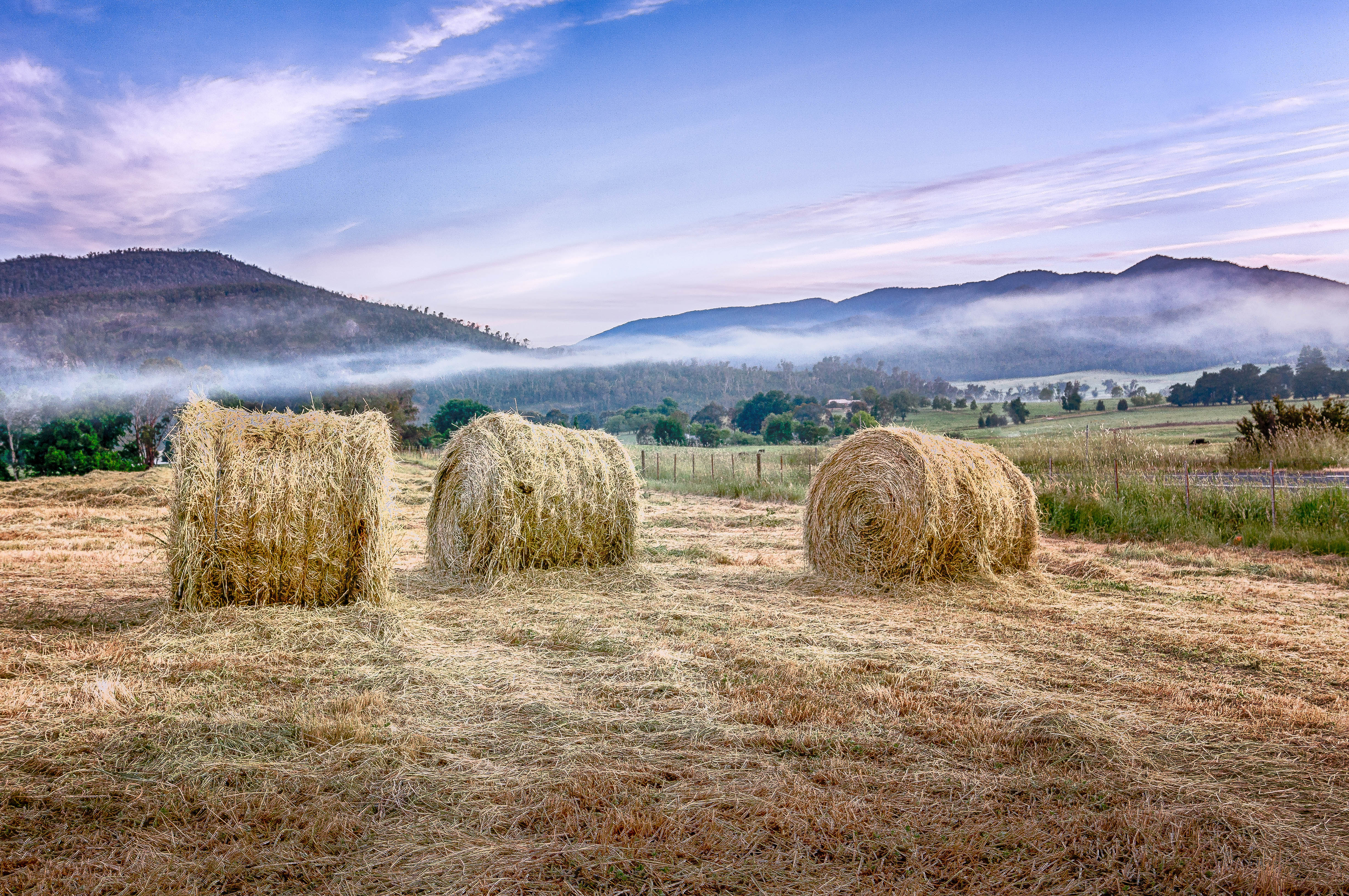
Happy Valley Hay bales at sunrise.jpg

Sky above

Follow the curve
Happy Valley-1961 sunrise.jpg
20170117-_DSC5536-1116.jpg
Gapsted Winery

20130530_9937 Chestnut orchard in winter
_DSC4278-Pano copy
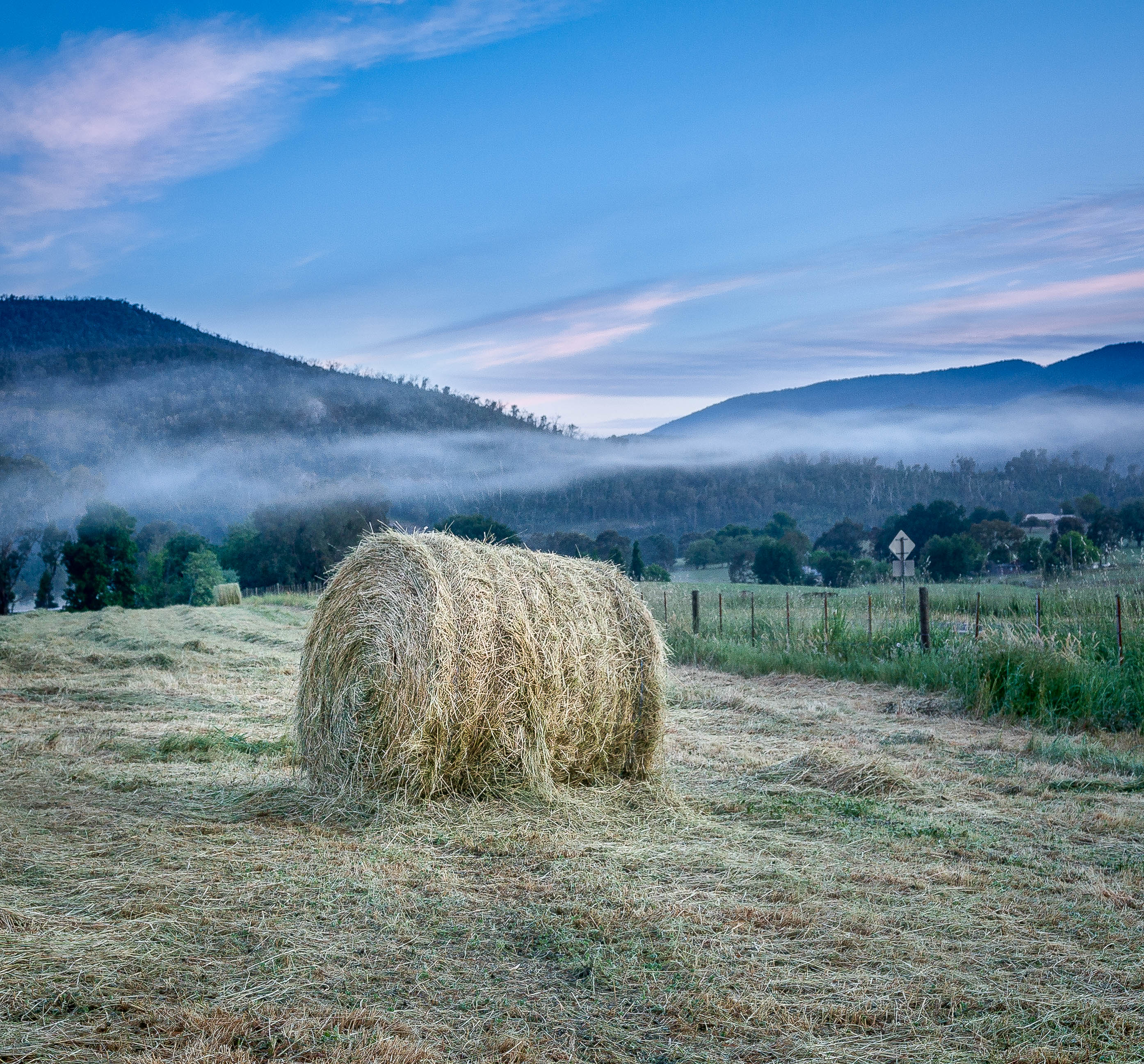
Happy Valley-Hay bales dawn 1.jpg
Mudgegonga 2012 Bleeser Site2

20161230-_DSC5337-1093.jpg
Happy Valley-1937-Edit-Edit.jpg
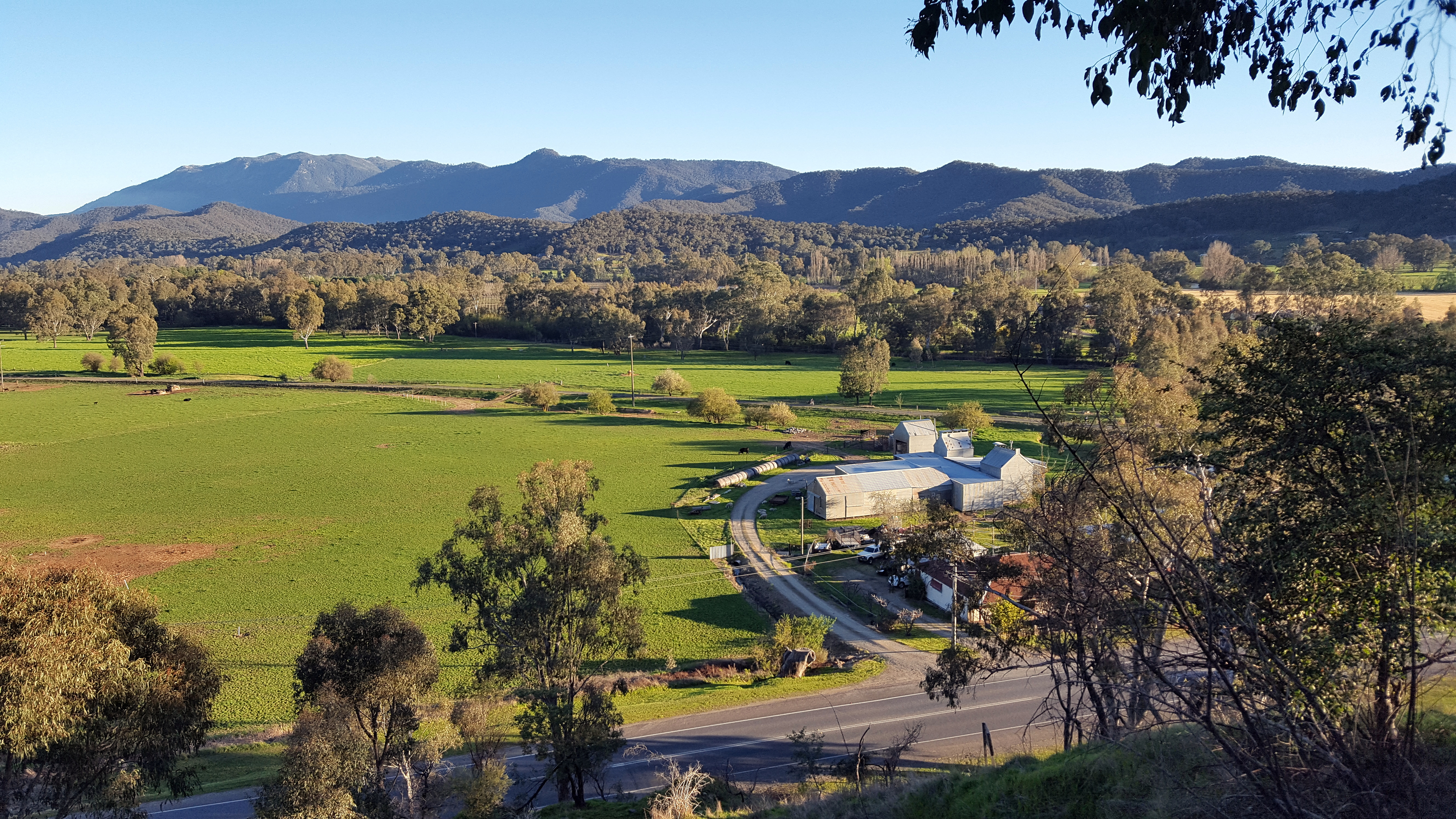
Looking down from Reform hill at Myrtleford and the MurrayToMountains railtrail

Kurzer Pausenstopp unterwegs auf der Great Alpine Road
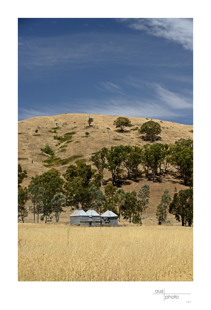
Tobacco Kilns near Myrtleford (Vic)

Mudgegonga 2012 Bleeser Site 4

20160816-_DSC3993-995.jpg

When the water's gone
Topographic Map of Myrtleford VIC, Australia
Find elevation by address:

Places near Myrtleford VIC, Australia:
Stanley
Stanley Road
27 Mccormack Rd
Lower Stanley Road
Harper Avenue
Beechworth Croquet Club
Kraus Lane
Jardine Street
6 Wood St
Beechworth
125 Mcfeeters Rd W
Eldorado
Indigo Shire
Kergunyah South
Chiltern
Wodonga City
Rural City Of Wangaratta
Wodonga
Wodonga
Beanstation Cafe
Recent Searches:
- Elevation of Corso Fratelli Cairoli, 35, Macerata MC, Italy
- Elevation of Tallevast Rd, Sarasota, FL, USA
- Elevation of 4th St E, Sonoma, CA, USA
- Elevation of Black Hollow Rd, Pennsdale, PA, USA
- Elevation of Oakland Ave, Williamsport, PA, USA
- Elevation of Pedrógão Grande, Portugal
- Elevation of Klee Dr, Martinsburg, WV, USA
- Elevation of Via Roma, Pieranica CR, Italy
- Elevation of Tavkvetili Mountain, Georgia
- Elevation of Hartfords Bluff Cir, Mt Pleasant, SC, USA