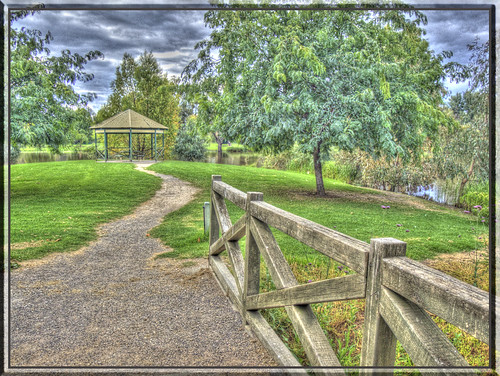
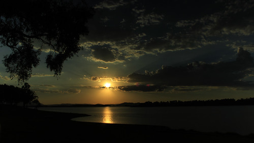
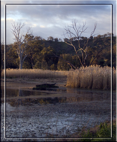
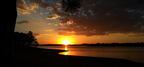
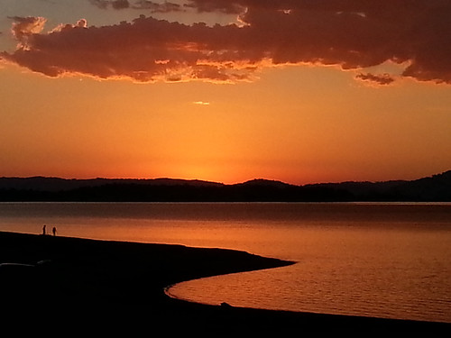
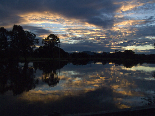
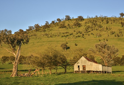
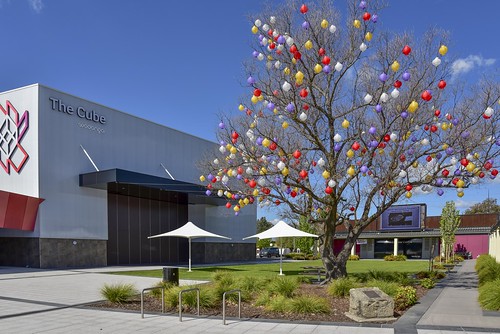
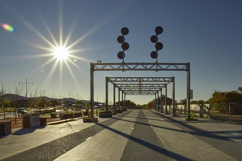
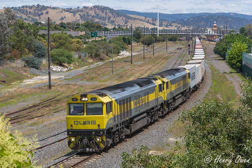
Elevation of Wodonga City, Wodonga, VIC, Australia
Location: Australia > Victoria >
Longitude: 146.898594
Latitude: -36.158341
Elevation: 218m / 715feet
Barometric Pressure: 99KPa
Related Photos:
Topographic Map of Wodonga City, Wodonga, VIC, Australia
Find elevation by address:

Places in Wodonga City, Wodonga, VIC, Australia:
Places near Wodonga City, Wodonga, VIC, Australia:
Wodonga
Wodonga
Beanstation Cafe
Lincoln Causeway
Gateway Island
South Albury
The River Deck Cafe; Restaurant, Cafe, Wedding And Function Venu
634 Lindsay Ave
Albury
Albury
258 Peechelba St
East Albury
19 Harvey Ct
Glenroy
City Of Albury
Indigo Shire
Stanley Road
27 Mccormack Rd
Beechworth
Stanley
Recent Searches:
- Elevation of Corso Fratelli Cairoli, 35, Macerata MC, Italy
- Elevation of Tallevast Rd, Sarasota, FL, USA
- Elevation of 4th St E, Sonoma, CA, USA
- Elevation of Black Hollow Rd, Pennsdale, PA, USA
- Elevation of Oakland Ave, Williamsport, PA, USA
- Elevation of Pedrógão Grande, Portugal
- Elevation of Klee Dr, Martinsburg, WV, USA
- Elevation of Via Roma, Pieranica CR, Italy
- Elevation of Tavkvetili Mountain, Georgia
- Elevation of Hartfords Bluff Cir, Mt Pleasant, SC, USA


