Elevation of Lincoln Causeway, Gateway Island VIC, Australia
Location: Australia > Victoria > Wodonga City > Gateway Island >
Longitude: 146.899258
Latitude: -36.099994
Elevation: 155m / 509feet
Barometric Pressure: 99KPa
Elevation Map:
Satellite Map:
Related Photos:

Flower on Black

Spider Lilly

Reflecting the Colour

The Park

Pretty Pink

A Gift Of Rose

Another Rose
Before the Storm

Night Shot

Pretty one

Rose on Mirror

Pouring on the colour
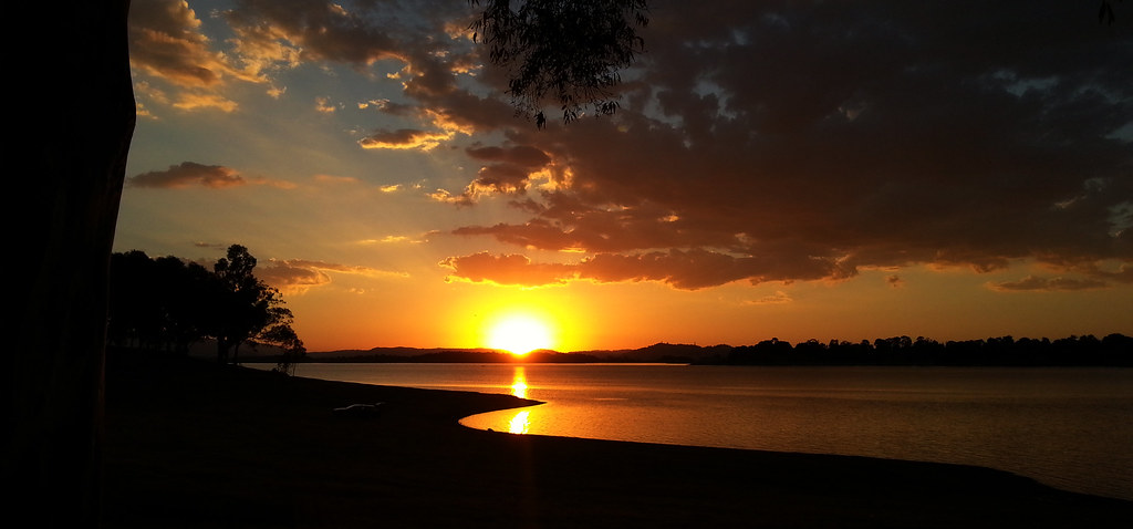
Bellbridge Sunset

Wetlands at sunset

After Sundown

Just for You Tom

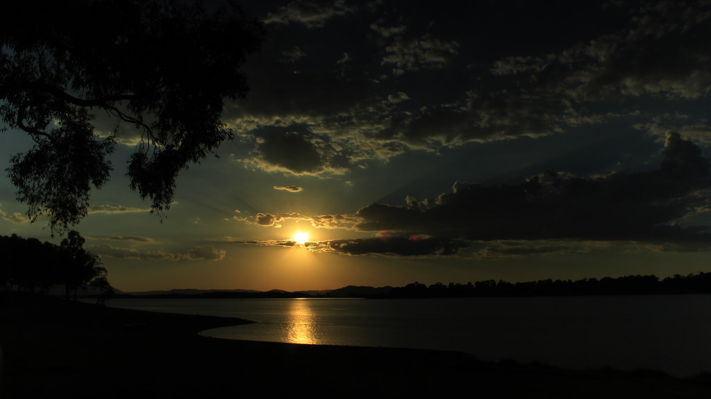
Sunset Wodonga

Autumn Bloom

The Tulip

Duck's Silhouette

In the Pink

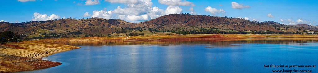
Lake Hume sunrise

Wodonga VIC

Porta 2007

Junction Square, Wodonga VIC

Wodonga Autunm
Gotta Catch 'Em All

Threading The Needle

Sunset under the Bridge

Into the Mist

Sanctuary Park Motel

First Light

Down The Road

Summer Bliss

In the Glow

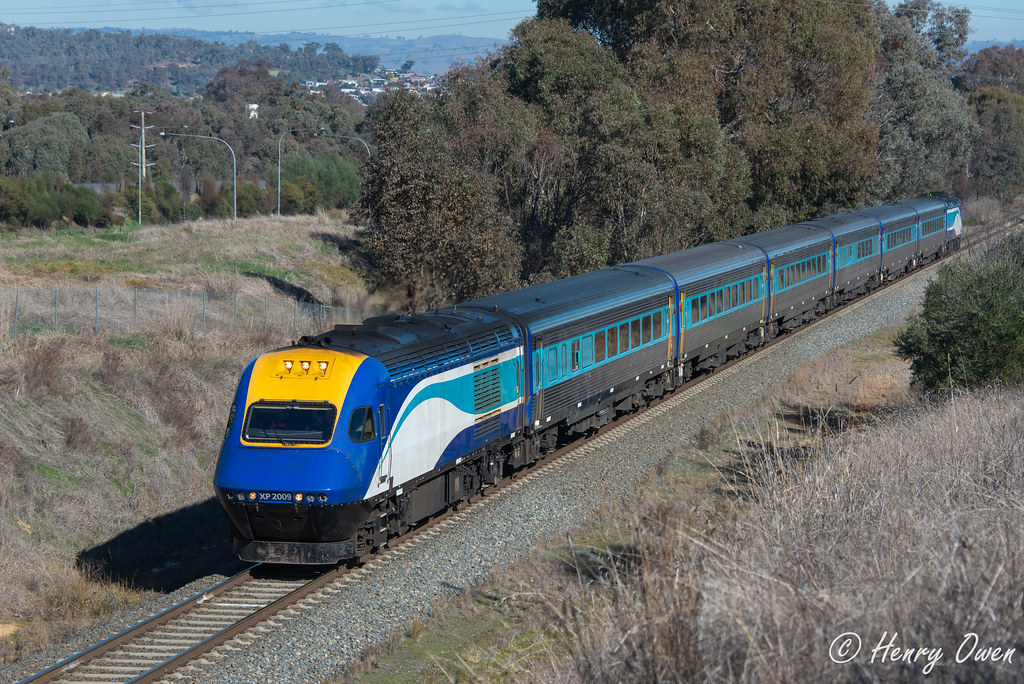
8630 at the Logic Centre

AEC Matador

Sunset Albury
Hume Weir - Albury NSW - 2 61013

At the Lake
Topographic Map of Lincoln Causeway, Gateway Island VIC, Australia
Find elevation by address:

Places near Lincoln Causeway, Gateway Island VIC, Australia:
Gateway Island
The River Deck Cafe; Restaurant, Cafe, Wedding And Function Venu
South Albury
Beanstation Cafe
634 Lindsay Ave
Wodonga
Wodonga
Albury
Albury
East Albury
19 Harvey Ct
258 Peechelba St
Glenroy
Wodonga City
City Of Albury
Indigo Shire
492 Stoney Park Rd
Burrumbuttock
Chiltern
Tallangatta Health Service
Recent Searches:
- Elevation of Corso Fratelli Cairoli, 35, Macerata MC, Italy
- Elevation of Tallevast Rd, Sarasota, FL, USA
- Elevation of 4th St E, Sonoma, CA, USA
- Elevation of Black Hollow Rd, Pennsdale, PA, USA
- Elevation of Oakland Ave, Williamsport, PA, USA
- Elevation of Pedrógão Grande, Portugal
- Elevation of Klee Dr, Martinsburg, WV, USA
- Elevation of Via Roma, Pieranica CR, Italy
- Elevation of Tavkvetili Mountain, Georgia
- Elevation of Hartfords Bluff Cir, Mt Pleasant, SC, USA