Elevation of Shaves Bluff Rd, Macclenny, FL, USA
Location: United States > Florida > Baker County > Macclenny >
Longitude: -82.1191449
Latitude: 30.3633568
Elevation: 23m / 75feet
Barometric Pressure: 0KPa
Related Photos:
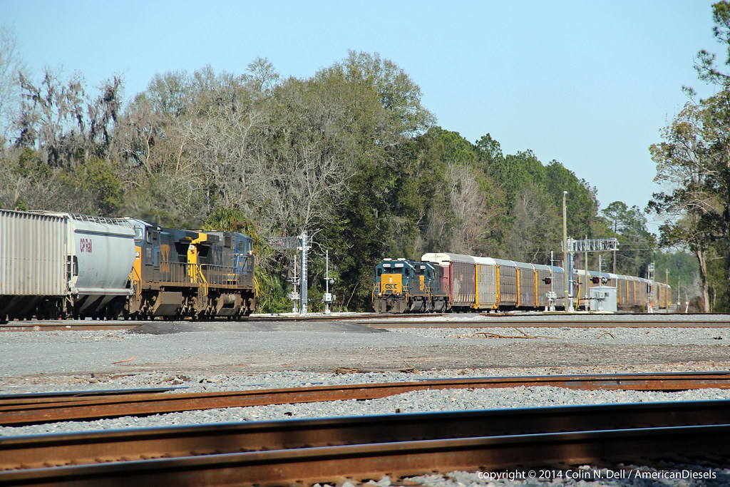
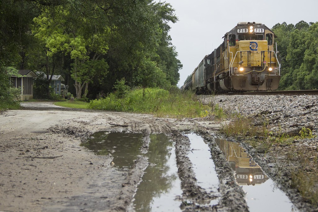
Train meet in Baldwin, FL

Forsyth Park, Savannah, Georgia #forsythpark #park #savannahgeorgia #georgia #visitsavannah #chathamcountyga #exploregeorgia #thesouthernfront #thegreatercollective #theamericancollective #landscape #landmark #touristattraction #city #view #scene #scenery
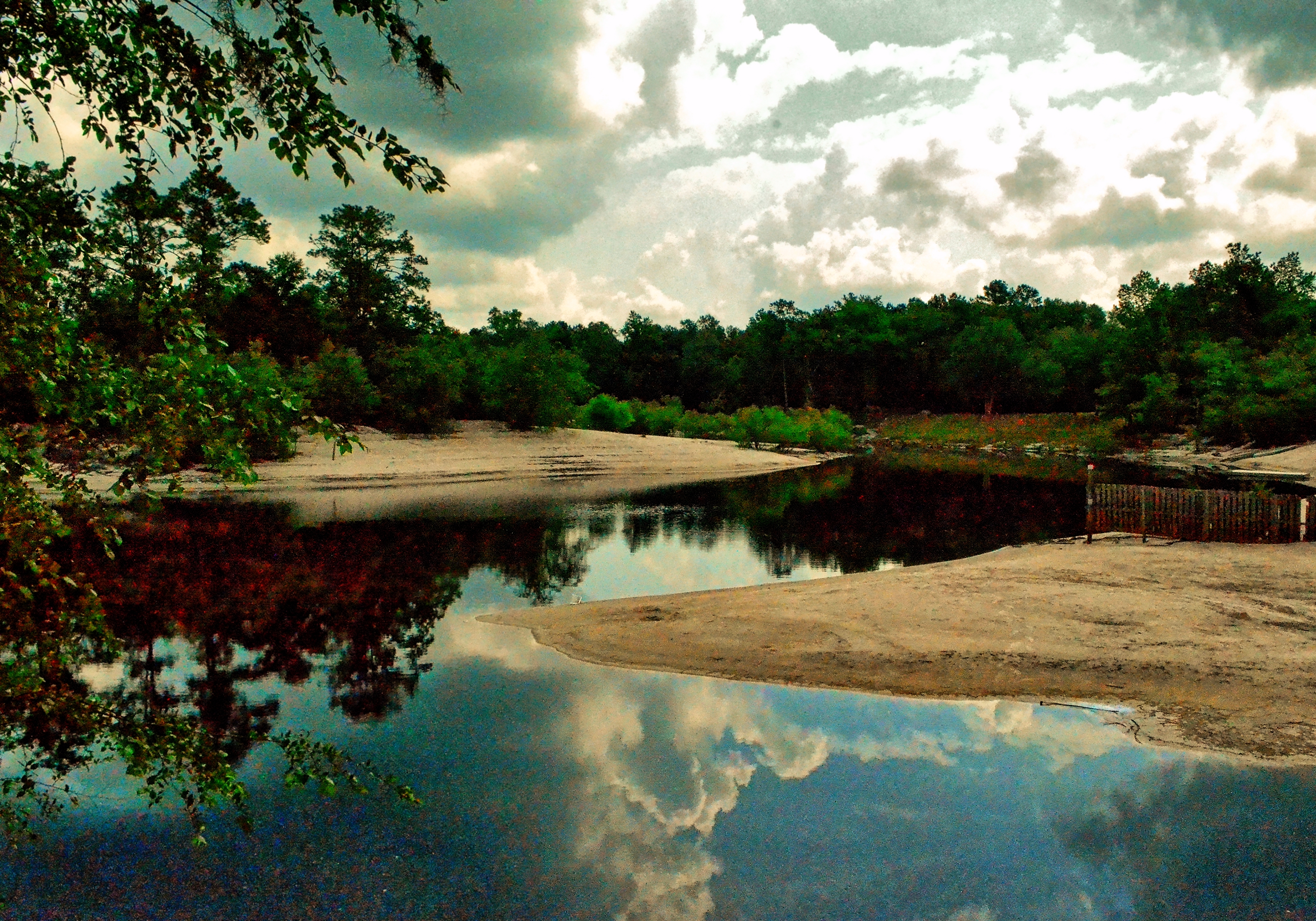
Saint Marys River, Baker County, Florida
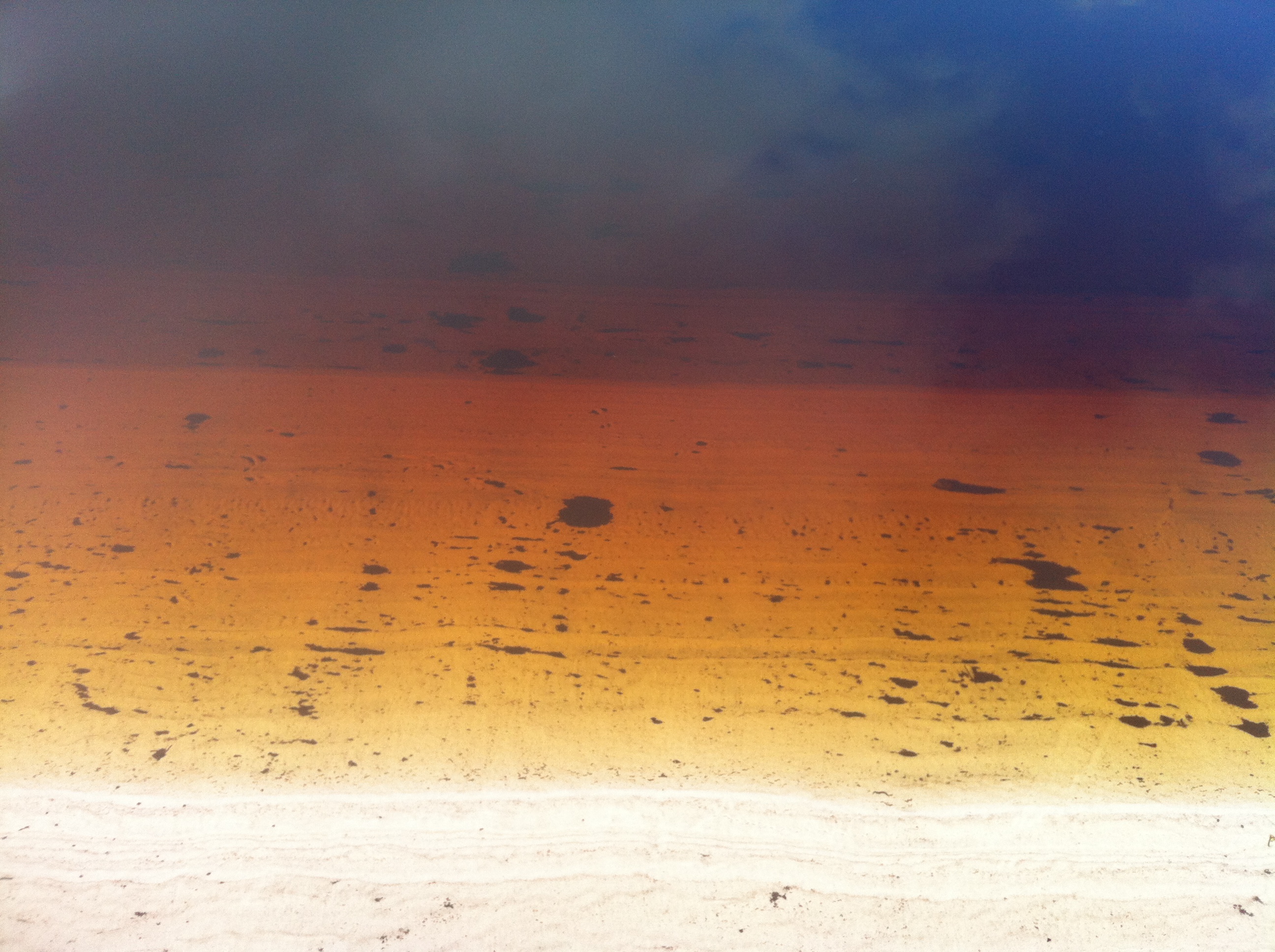
StMarysRiver (16)
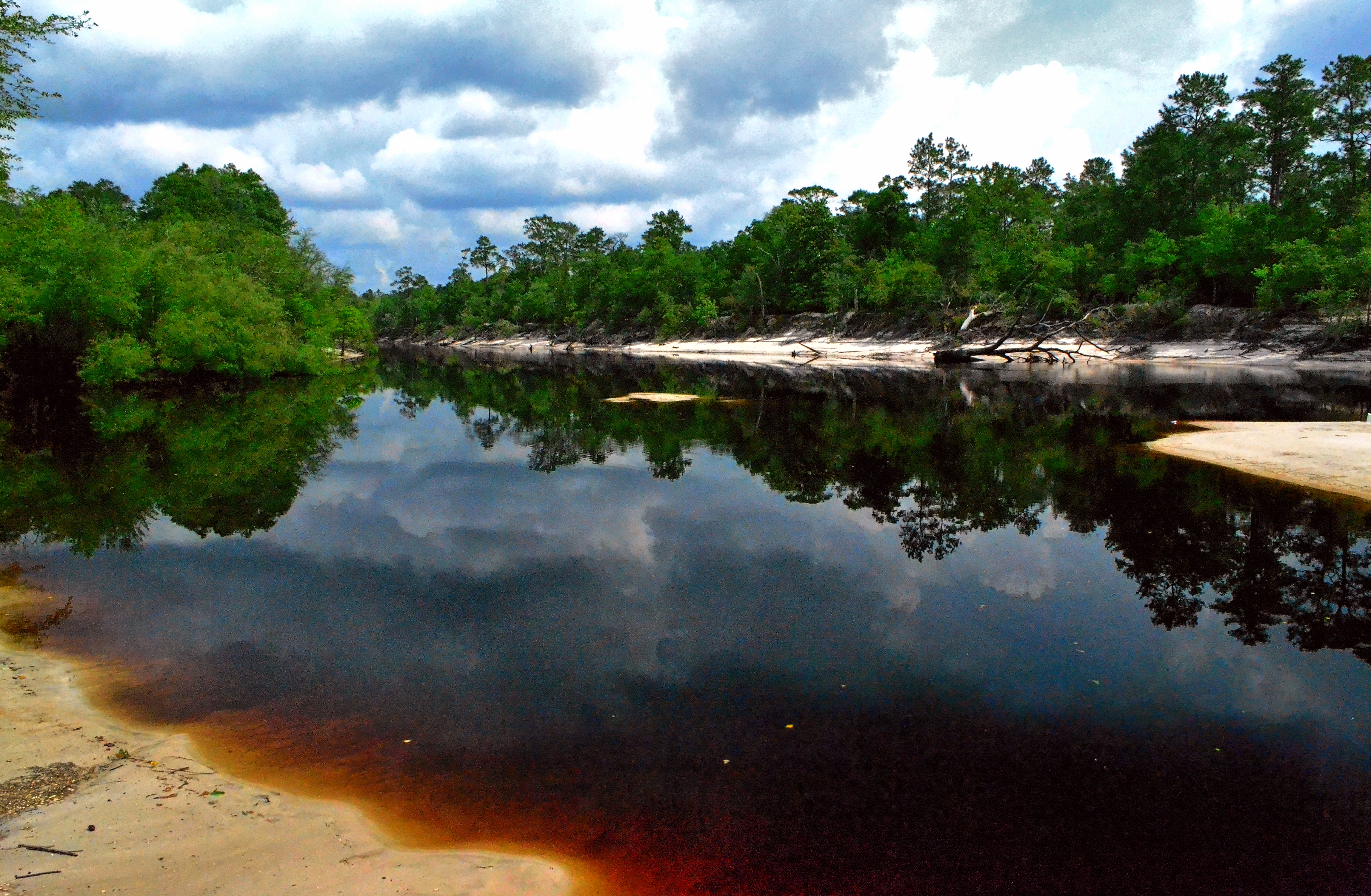
Saint Marys River, Baker County,Florida
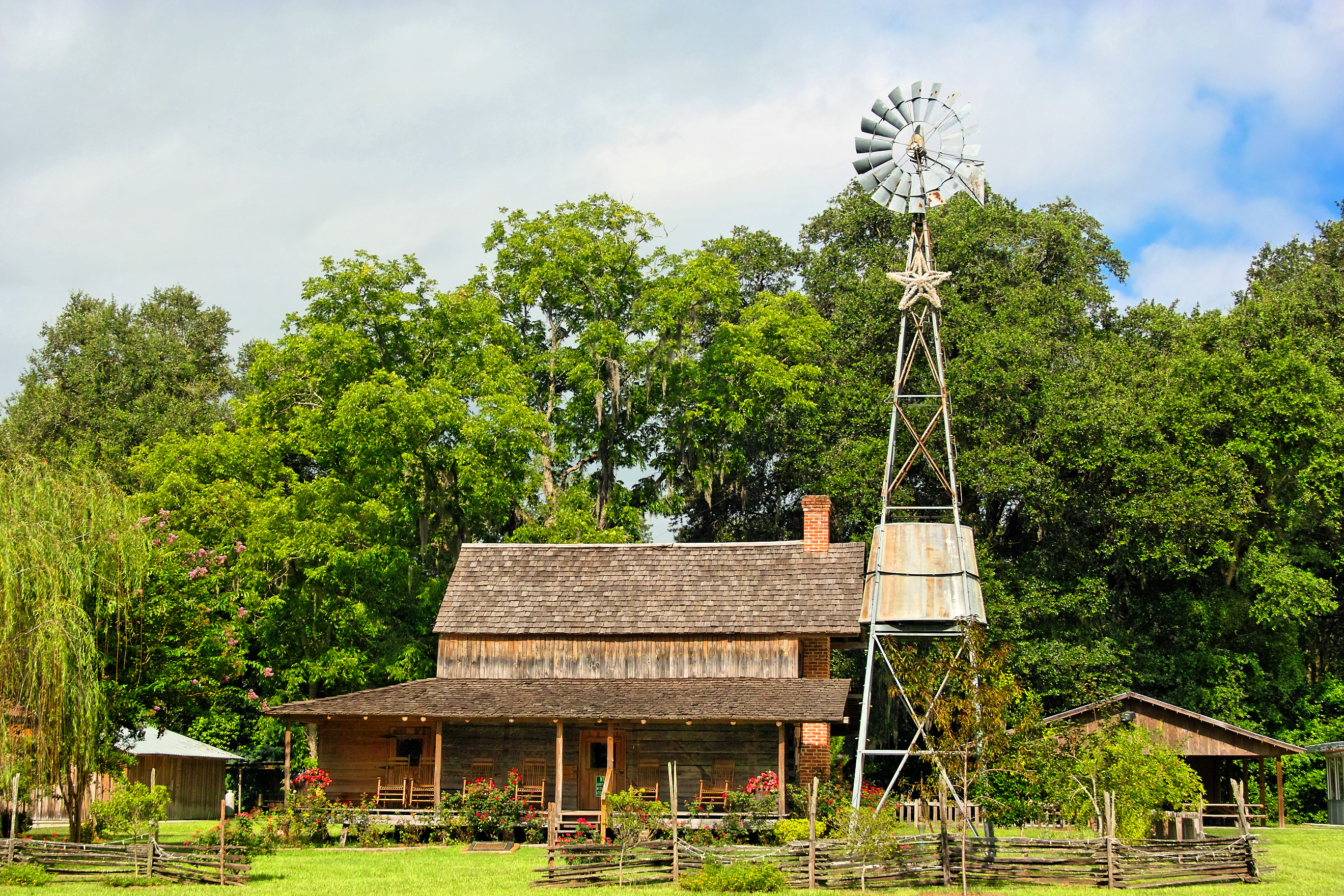
Burnsed Bunkhouse
Worn and Torn
mayhem-2.jpg

Rainbow Road
Topographic Map of Shaves Bluff Rd, Macclenny, FL, USA
Find elevation by address:

Places near Shaves Bluff Rd, Macclenny, FL, USA:
Bearden Trail
14985 Jesse Yarbrough Rd
2860 Farley Rd
Jesse Yarbrough Road
2601 Farley Rd
6965 Odis Yarborough Rd
7179 W Smooth Bore Ave
6051 Deercreek Ln
6167 Deercreek Ln
13434 Brandywine Ln
1383 Steel Bridge Rd
517 Islamorada Dr N
11409 Confederate Ln
Enterprise East Boulevard
Macclenny
10689 Hillside Dr E
Trail Ridge Rv. Trailer Park
14310 N Glen Ave
Hamilton Crews Road
Crews Road
Recent Searches:
- Elevation map of Nagano Prefecture, Japan
- Elevation of 587, Bascule Drive, Oakdale, Stanislaus County, California, 95361, USA
- Elevation of Stadion Wankdorf, Sempachstrasse, Breitfeld, Bern, Bern-Mittelland administrative district, Bern, 3014, Switzerland
- Elevation of Z024, 76, Emil-von-Behring-Straße, Marbach, Marburg, Landkreis Marburg-Biedenkopf, Hesse, 35041, Germany
- Elevation of Gaskill Road, Hunts Cross, Liverpool, England, L24 9PH, United Kingdom
- Elevation of Speke, Liverpool, England, L24 9HD, United Kingdom
- Elevation of Seqirus, 475, Green Oaks Parkway, Holly Springs, Wake County, North Carolina, 27540, USA
- Elevation of Pasing, Munich, Bavaria, 81241, Germany
- Elevation of 24, Auburn Bay Crescent SE, Auburn Bay, Calgary, Alberta, T3M 0A6, Canada
- Elevation of Denver, 2314, Arapahoe Street, Five Points, Denver, Colorado, 80205, USA
- Elevation of Community of the Beatitudes, 2924, West 43rd Avenue, Sunnyside, Denver, Colorado, 80211, USA
- Elevation map of Litang County, Sichuan, China
- Elevation map of Madoi County, Qinghai, China
- Elevation of 3314, Ohio State Route 114, Payne, Paulding County, Ohio, 45880, USA
- Elevation of Sarahills Drive, Saratoga, Santa Clara County, California, 95070, USA
- Elevation of Town of Bombay, Franklin County, New York, USA
- Elevation of 9, Convent Lane, Center Moriches, Suffolk County, New York, 11934, USA
- Elevation of Saint Angelas Convent, 9, Convent Lane, Center Moriches, Suffolk County, New York, 11934, USA
- Elevation of 131st Street Southwest, Mukilteo, Snohomish County, Washington, 98275, USA
- Elevation of 304, Harrison Road, Naples, Cumberland County, Maine, 04055, USA