Elevation of Macclenny, FL, USA
Location: United States > Florida > Baker County >
Longitude: -82.122056
Latitude: 30.2821807
Elevation: 40m / 131feet
Barometric Pressure: 101KPa
Elevation Map:
Satellite Map:
Related Photos:
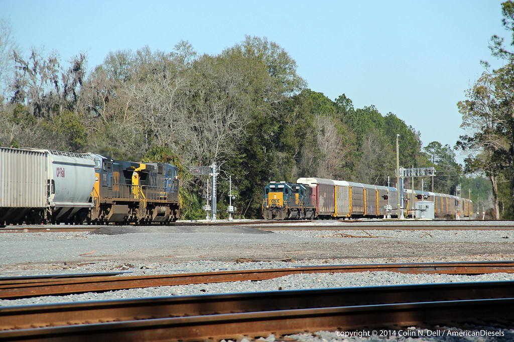
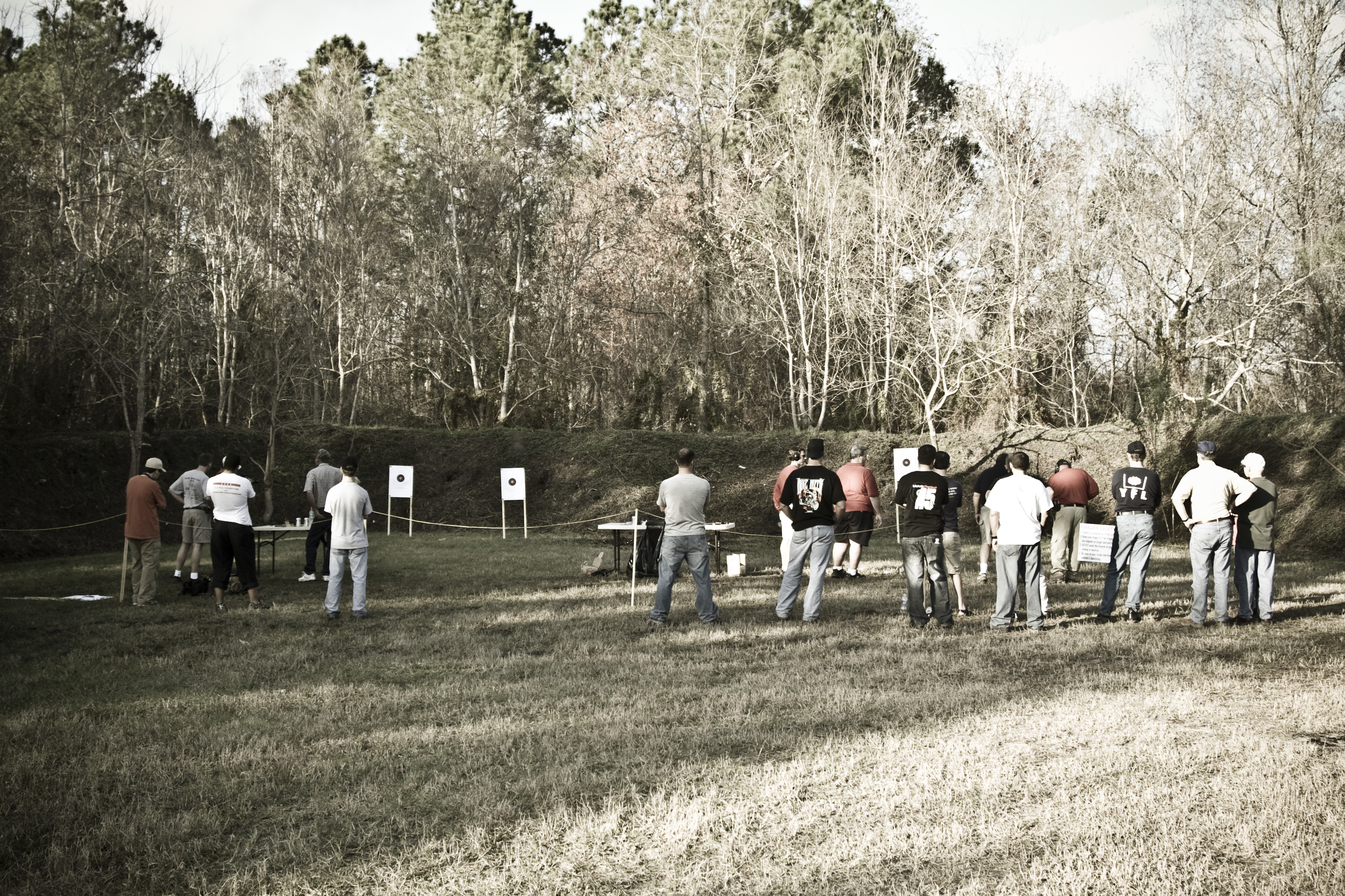
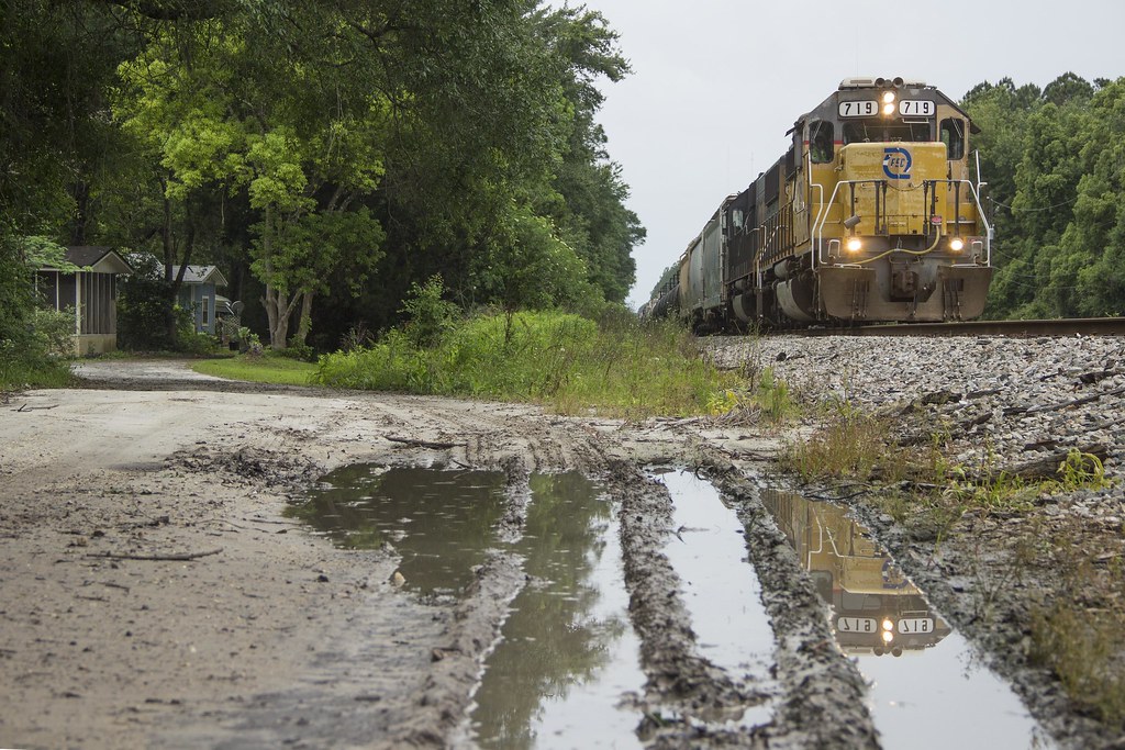
Train meet in Baldwin, FL
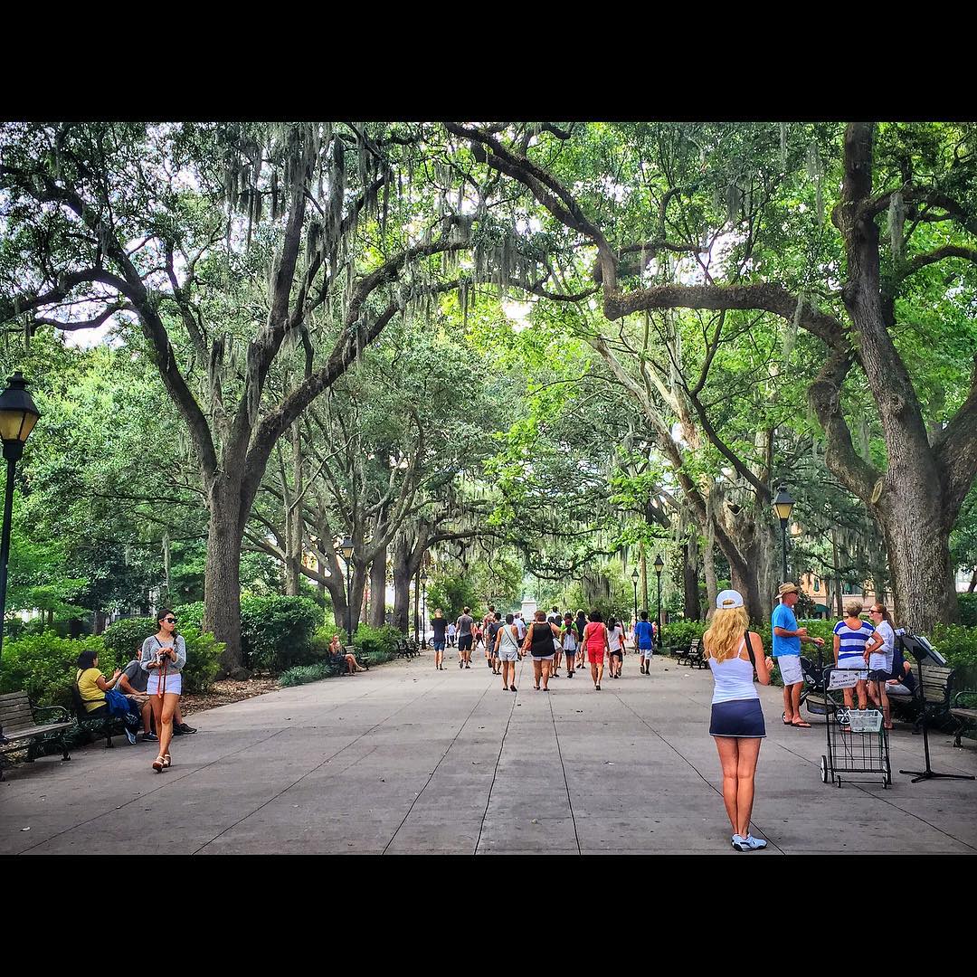
Forsyth Park, Savannah, Georgia #forsythpark #park #savannahgeorgia #georgia #visitsavannah #chathamcountyga #exploregeorgia #thesouthernfront #thegreatercollective #theamericancollective #landscape #landmark #touristattraction #city #view #scene #scenery
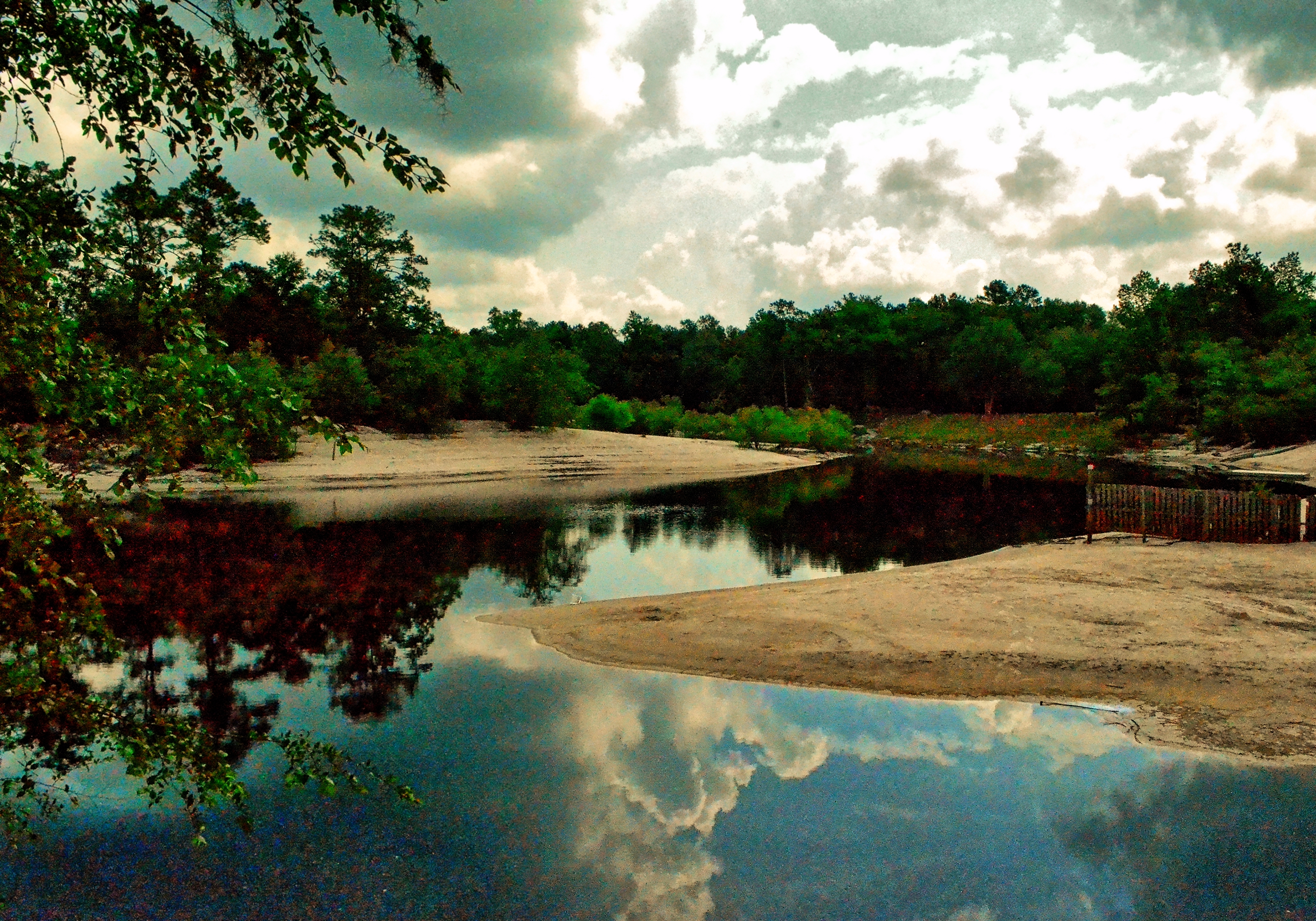
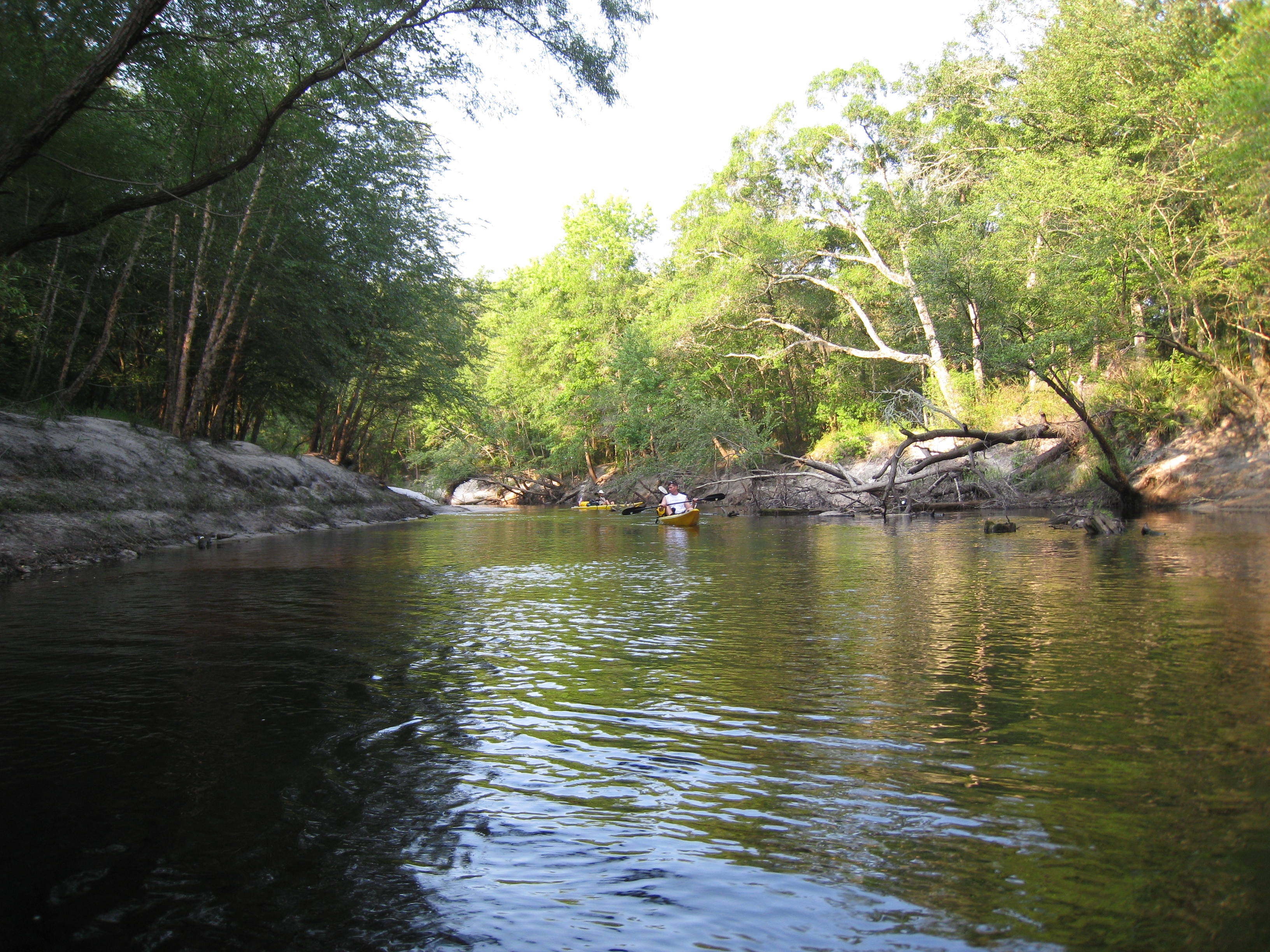
Saint Marys River, Baker County, Florida
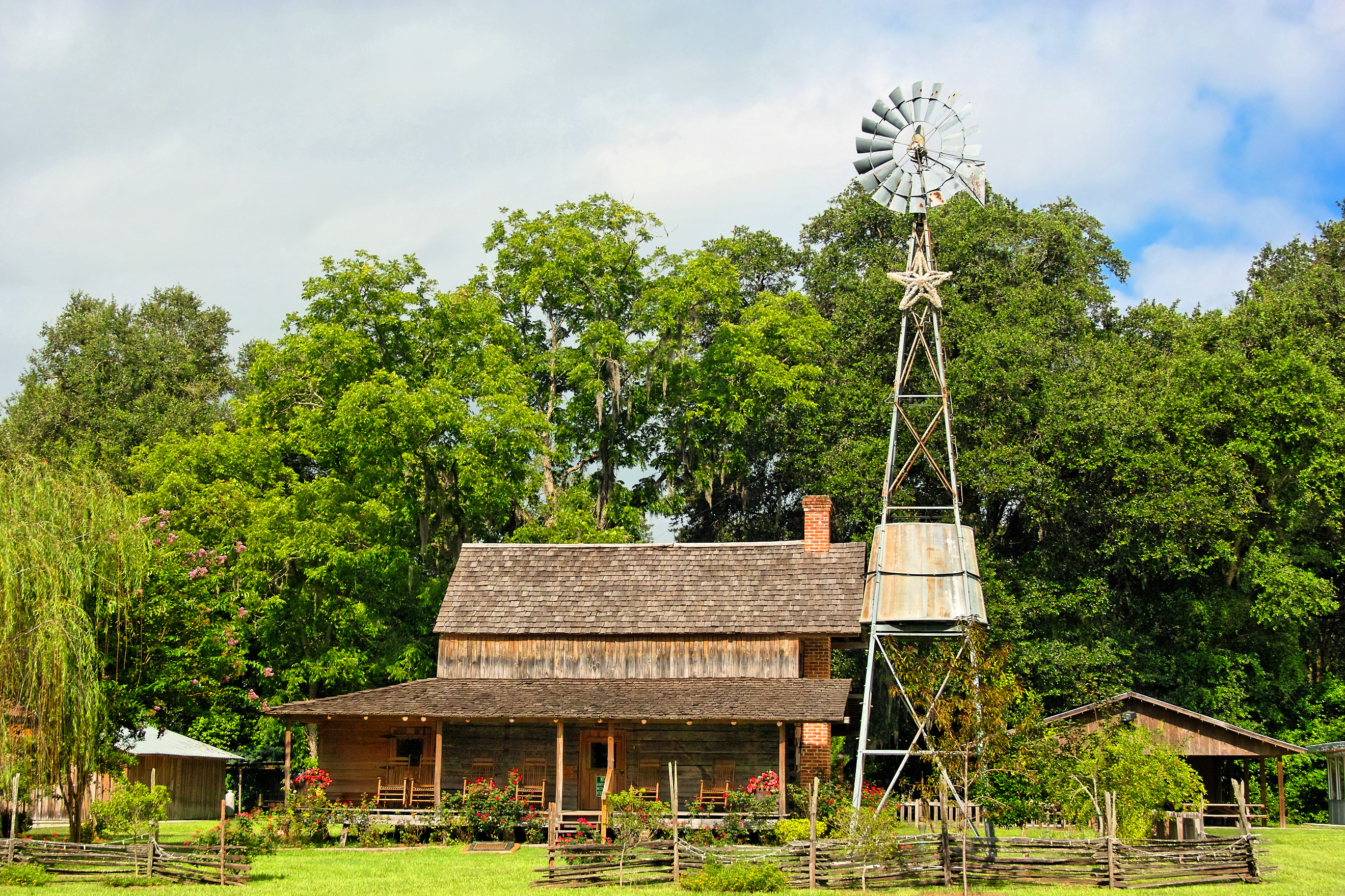
Burnsed Bunkhouse

Rainbow Road

On the road again...
StMarysRiver (16)
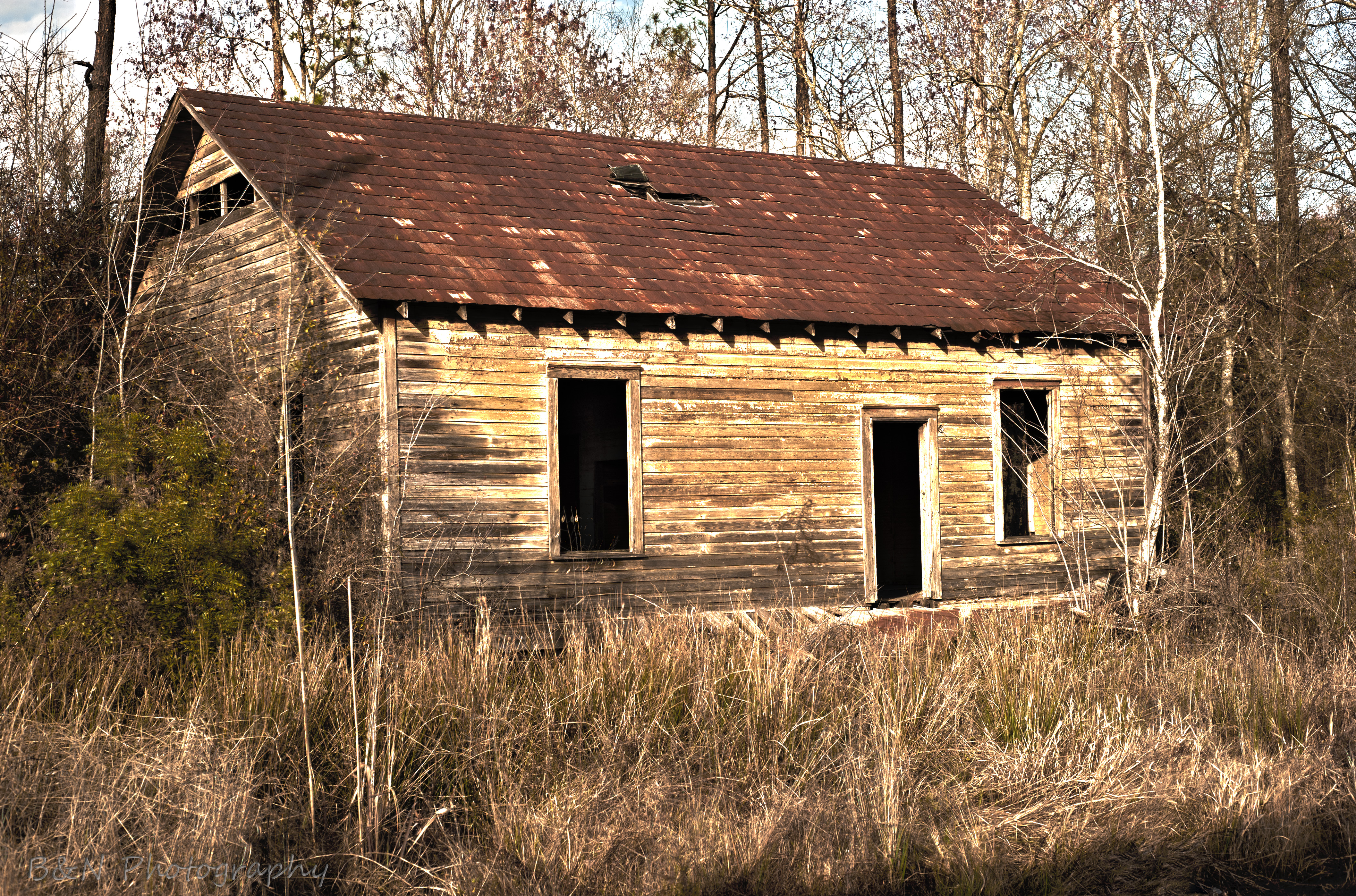
Abandoned House
stmarys08-9

Old Doors
mayhem-78.jpg
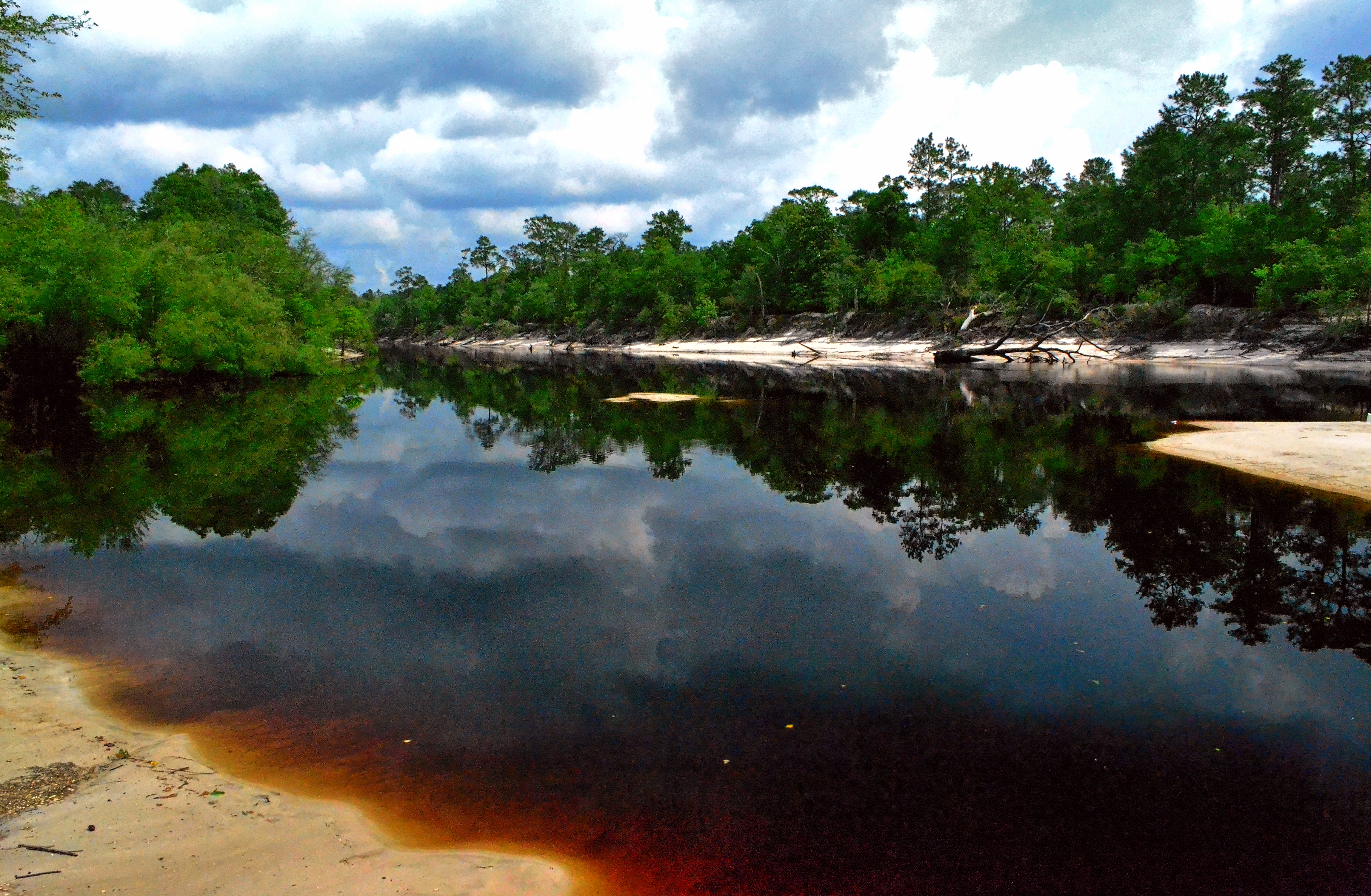
Saint Marys River, Baker County,Florida
mayhem-1.jpg
mayhem-2.jpg

Under the Stokes Road Bridge
Worn and Torn

Saint Marys River, Baker County, Florida
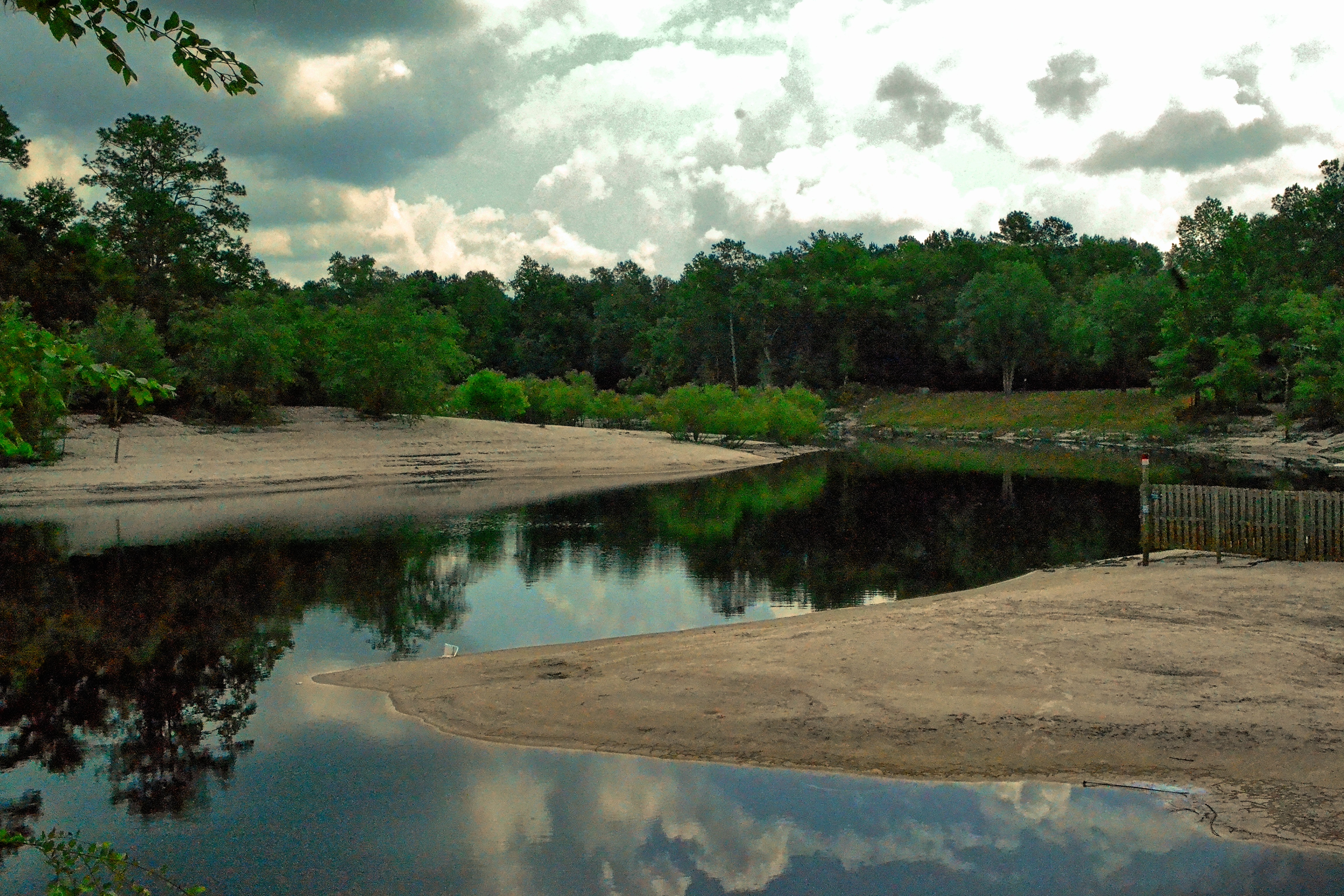
Saint Marys River, Baker County, Florida
Topographic Map of Macclenny, FL, USA
Find elevation by address:

Places in Macclenny, FL, USA:
Places near Macclenny, FL, USA:
517 Islamorada Dr N
10689 Hillside Dr E
Hamilton Crews Road
4119 Birch St
11409 Confederate Ln
Glen Saint Mary
14310 N Glen Ave
Enterprise East Boulevard
6051 Deercreek Ln
6167 Deercreek Ln
7714 Glenview Dr
13434 Brandywine Ln
Trail Ridge Rv. Trailer Park
Bearden Trail
US-90, Glen St Mary, FL, USA
14985 Jesse Yarbrough Rd
Jesse Yarbrough Road
6965 Odis Yarborough Rd
7179 W Smooth Bore Ave
4683 Shaves Bluff Rd
Recent Searches:
- Elevation of Corso Fratelli Cairoli, 35, Macerata MC, Italy
- Elevation of Tallevast Rd, Sarasota, FL, USA
- Elevation of 4th St E, Sonoma, CA, USA
- Elevation of Black Hollow Rd, Pennsdale, PA, USA
- Elevation of Oakland Ave, Williamsport, PA, USA
- Elevation of Pedrógão Grande, Portugal
- Elevation of Klee Dr, Martinsburg, WV, USA
- Elevation of Via Roma, Pieranica CR, Italy
- Elevation of Tavkvetili Mountain, Georgia
- Elevation of Hartfords Bluff Cir, Mt Pleasant, SC, USA