Elevation of Enterprise East Boulevard, Enterprise E Blvd, Macclenny, FL, USA
Location: United States > Florida > Baker County > Macclenny >
Longitude: -82.0809454
Latitude: 30.2933138
Elevation: 50m / 164feet
Barometric Pressure: 0KPa
Related Photos:
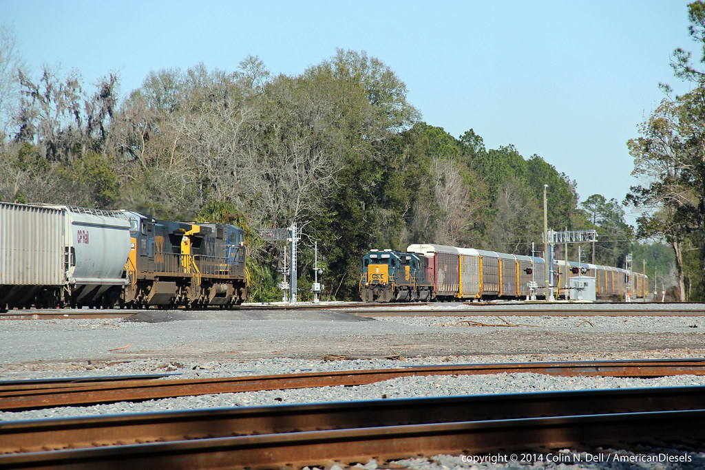
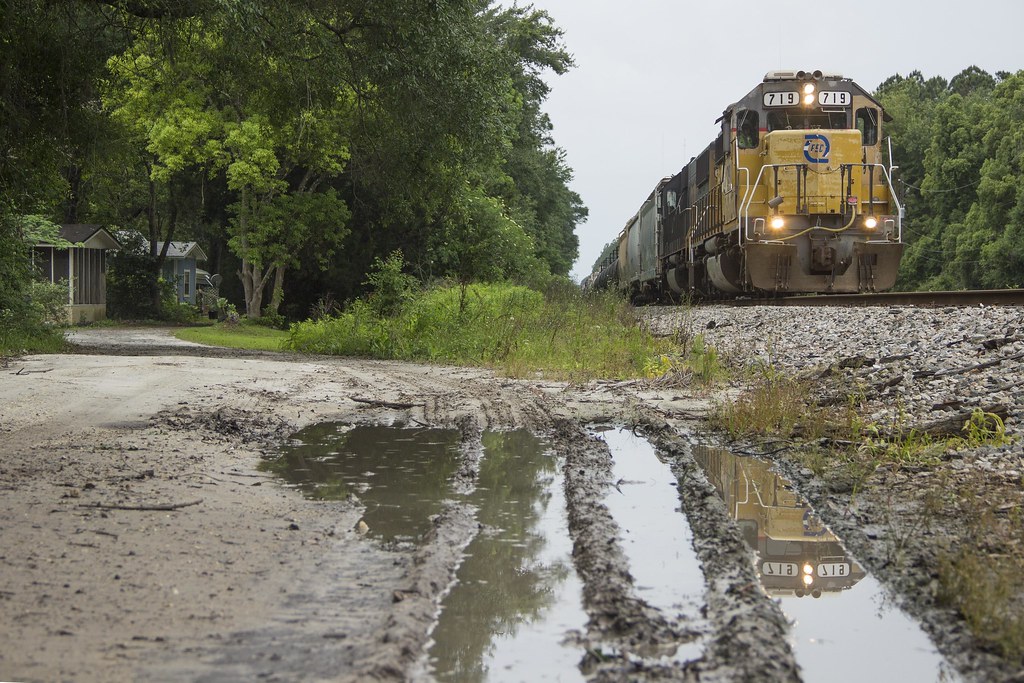
Train meet in Baldwin, FL

Forsyth Park, Savannah, Georgia #forsythpark #park #savannahgeorgia #georgia #visitsavannah #chathamcountyga #exploregeorgia #thesouthernfront #thegreatercollective #theamericancollective #landscape #landmark #touristattraction #city #view #scene #scenery
StMarysRiver (16)
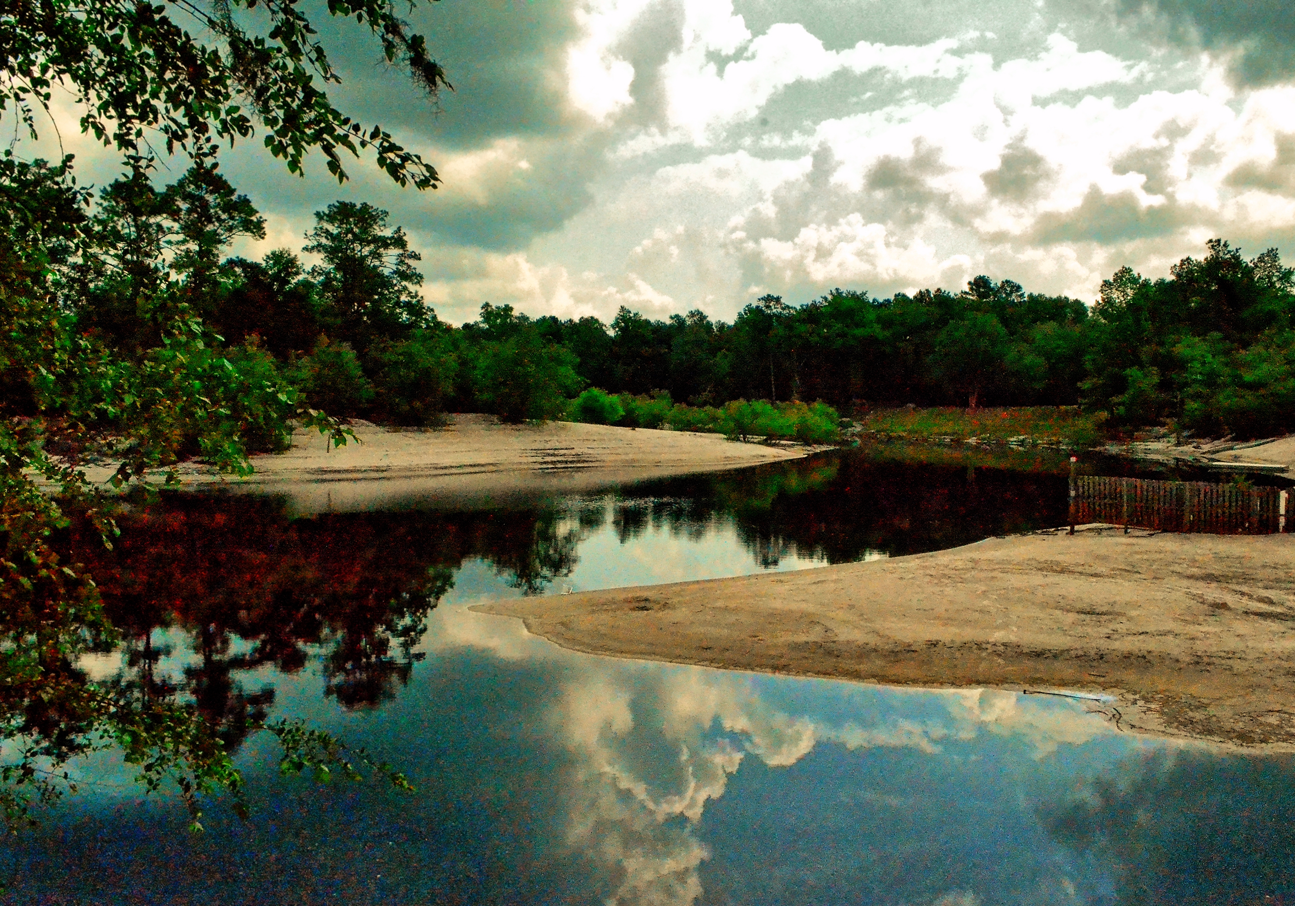
Saint Marys River, Baker County, Florida
stmarys08-9
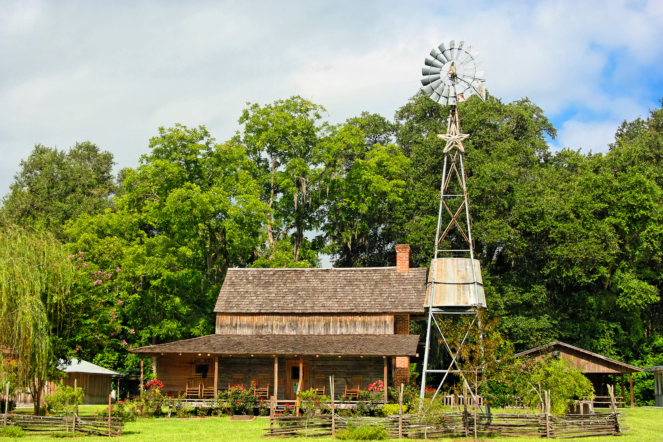
Burnsed Bunkhouse

Old Doors
Worn and Torn
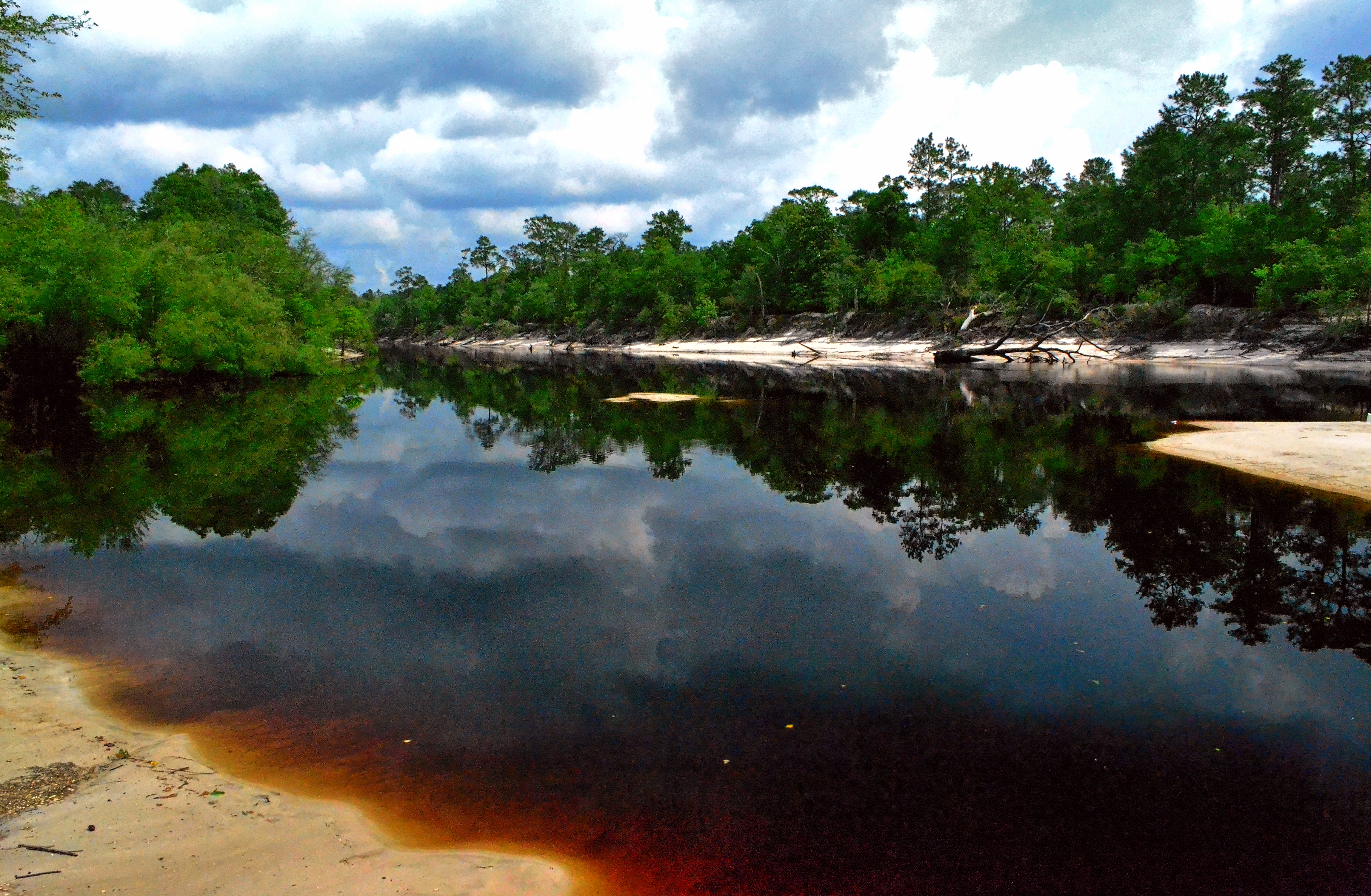
Saint Marys River, Baker County,Florida
mayhem-1.jpg
mayhem-2.jpg

Under the Stokes Road Bridge

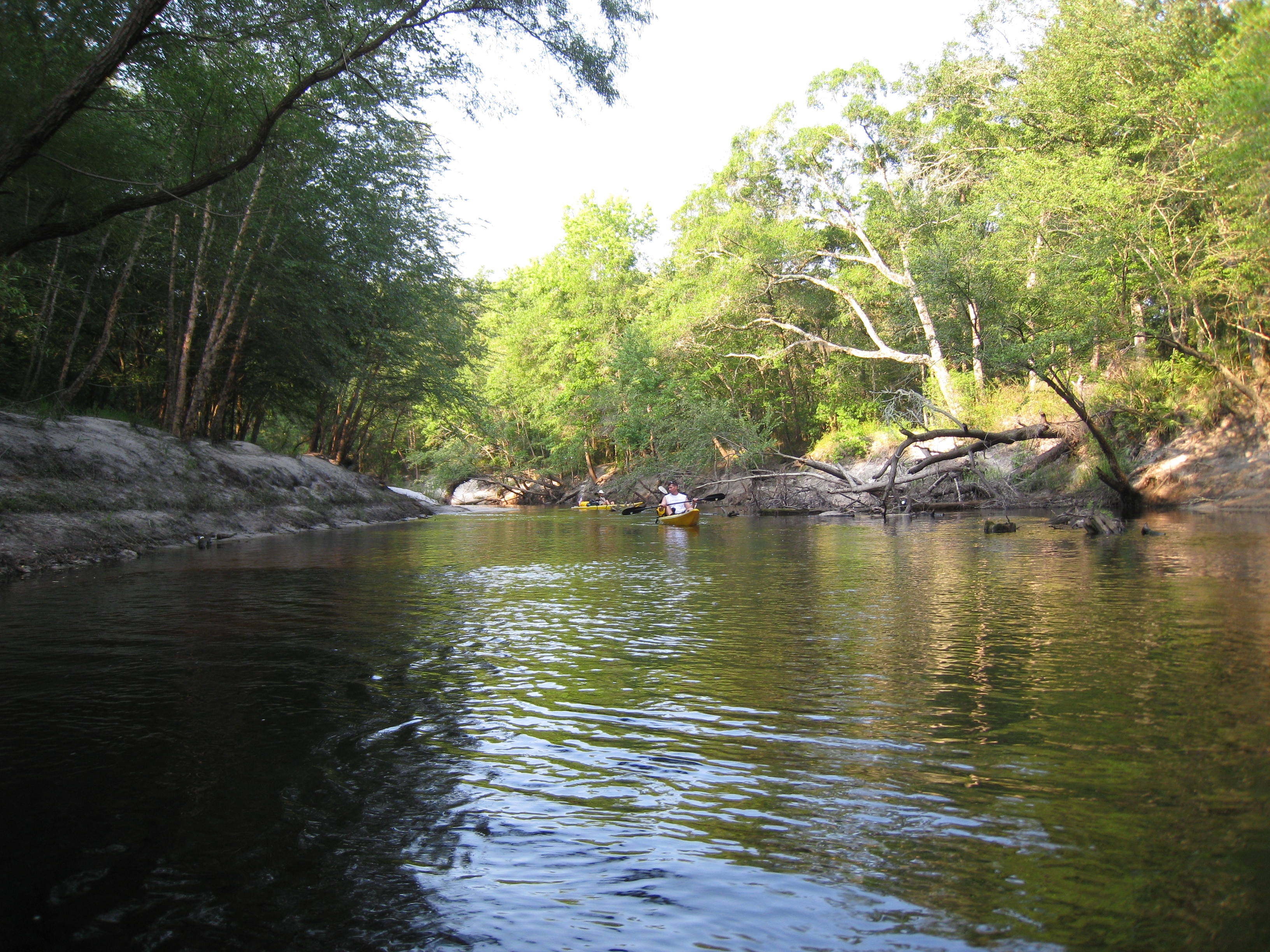
Saint Marys River, Baker County, Florida
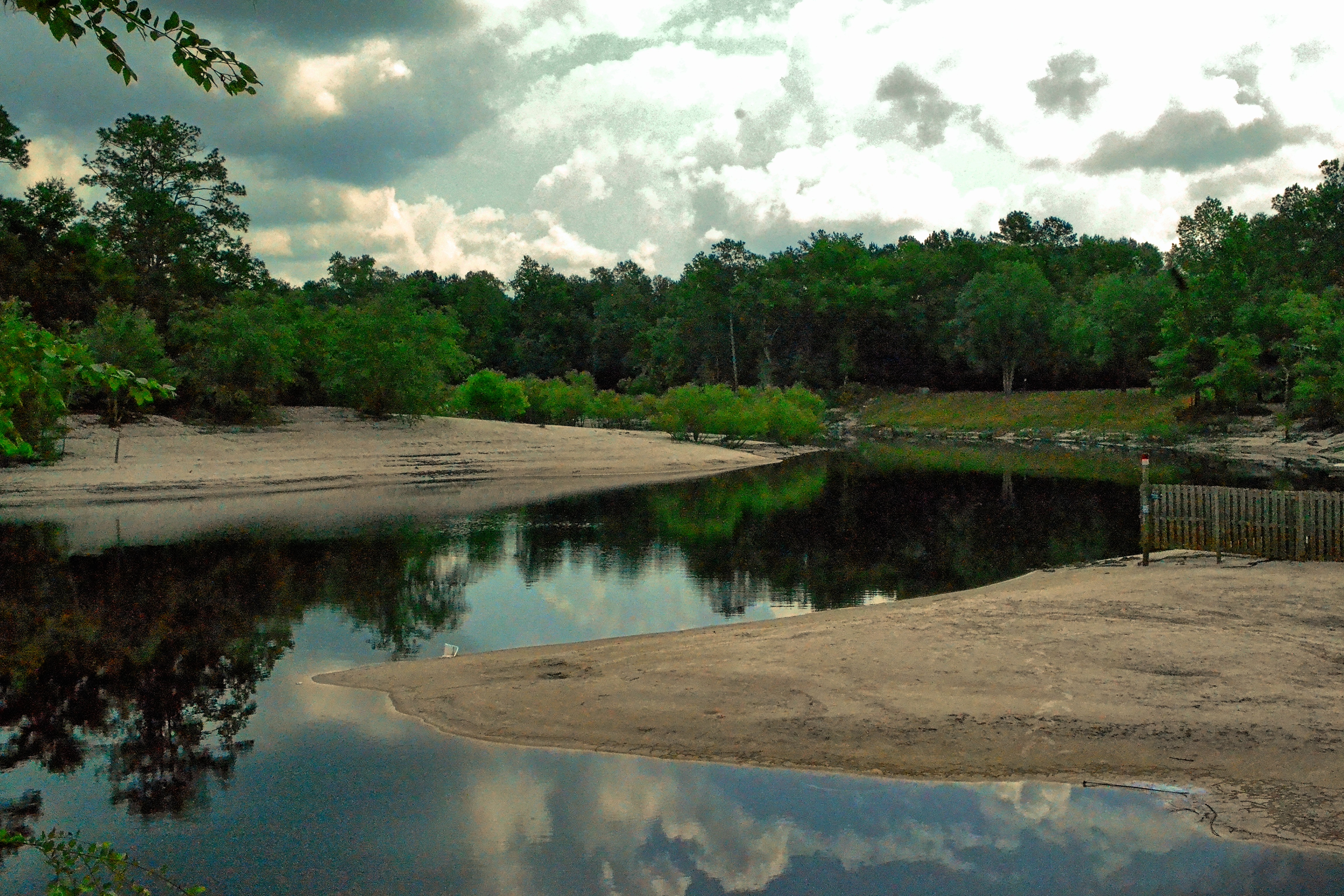
Saint Marys River, Baker County, Florida

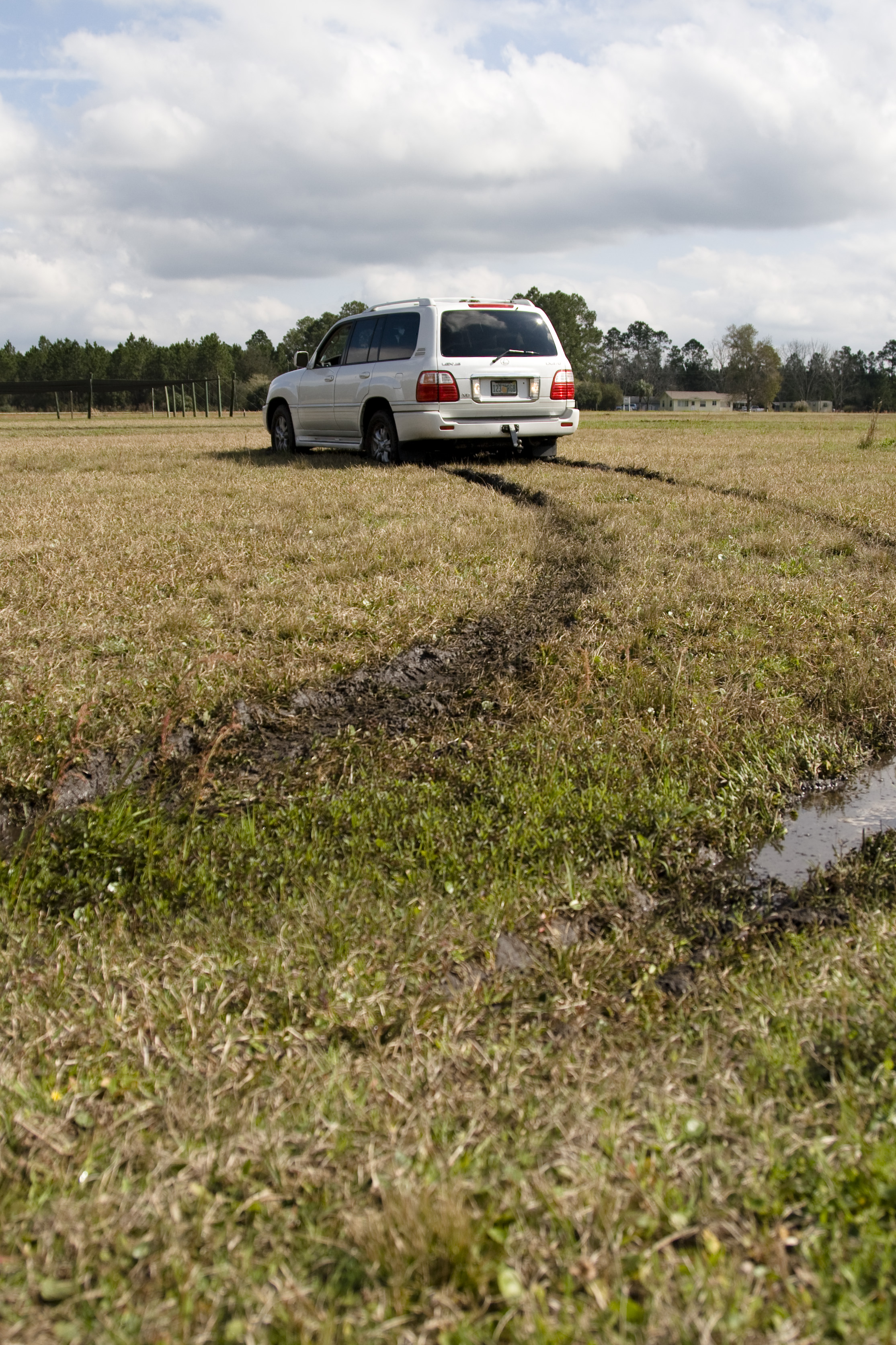
Rainbow Road
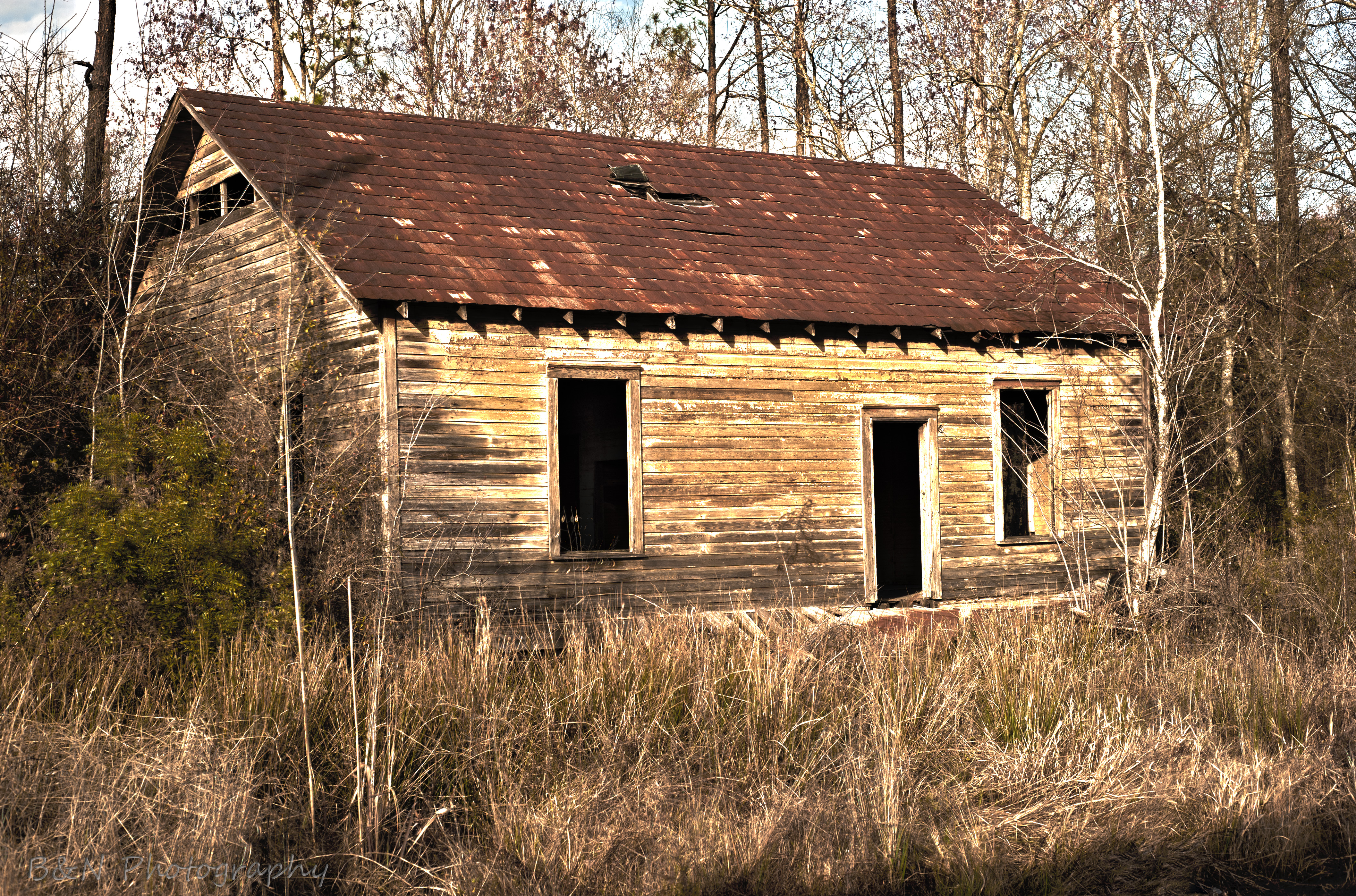
Abandoned House
Topographic Map of Enterprise East Boulevard, Enterprise E Blvd, Macclenny, FL, USA
Find elevation by address:

Places near Enterprise East Boulevard, Enterprise E Blvd, Macclenny, FL, USA:
Trail Ridge Rv. Trailer Park
517 Islamorada Dr N
US Hy 90, Bryceville, FL, USA
Macclenny
4119 Birch St
10689 Hillside Dr E
1383 Steel Bridge Rd
Bearden Trail
6051 Deercreek Ln
6167 Deercreek Ln
Hamilton Crews Road
11409 Confederate Ln
29 Brandy Branch Rd
4683 Shaves Bluff Rd
14985 Jesse Yarbrough Rd
13434 Brandywine Ln
Jesse Yarbrough Road
14310 N Glen Ave
Glen Saint Mary
7714 Glenview Dr
Recent Searches:
- Elevation of 116, Beartown Road, Underhill, Chittenden County, Vermont, 05489, USA
- Elevation of Window Rock, Colfax County, New Mexico, 87714, USA
- Elevation of 4807, Rosecroft Street, Kempsville Gardens, Virginia Beach, Virginia, 23464, USA
- Elevation map of Matawinie, Quebec, Canada
- Elevation of Sainte-Émélie-de-l'Énergie, Matawinie, Quebec, Canada
- Elevation of Rue du Pont, Sainte-Émélie-de-l'Énergie, Matawinie, Quebec, J0K2K0, Canada
- Elevation of 8, Rue de Bécancour, Blainville, Thérèse-De Blainville, Quebec, J7B1N2, Canada
- Elevation of Wilmot Court North, 163, University Avenue West, Northdale, Waterloo, Region of Waterloo, Ontario, N2L6B6, Canada
- Elevation map of Panamá Province, Panama
- Elevation of Balboa, Panamá Province, Panama
- Elevation of San Miguel, Balboa, Panamá Province, Panama
- Elevation of Isla Gibraleón, San Miguel, Balboa, Panamá Province, Panama
- Elevation of 4655, Krischke Road, Schulenburg, Fayette County, Texas, 78956, USA
- Elevation of Carnegie Avenue, Downtown Cleveland, Cleveland, Cuyahoga County, Ohio, 44115, USA
- Elevation of Walhonding, Coshocton County, Ohio, USA
- Elevation of Clifton Down, Clifton, Bristol, City of Bristol, England, BS8 3HU, United Kingdom
- Elevation map of Auvergne-Rhône-Alpes, France
- Elevation map of Upper Savoy, Auvergne-Rhône-Alpes, France
- Elevation of Chamonix-Mont-Blanc, Upper Savoy, Auvergne-Rhône-Alpes, France
- Elevation of 908, Northwood Drive, Bridge Field, Chesapeake, Virginia, 23322, USA