Elevation of Shasta Forest Dr, Shingletown, CA, USA
Location: United States > California > Shasta County > Shingletown >
Longitude: -121.89976
Latitude: 40.50426
Elevation: 1009m / 3310feet
Barometric Pressure: 90KPa
Elevation Map:
Satellite Map:
Related Photos:
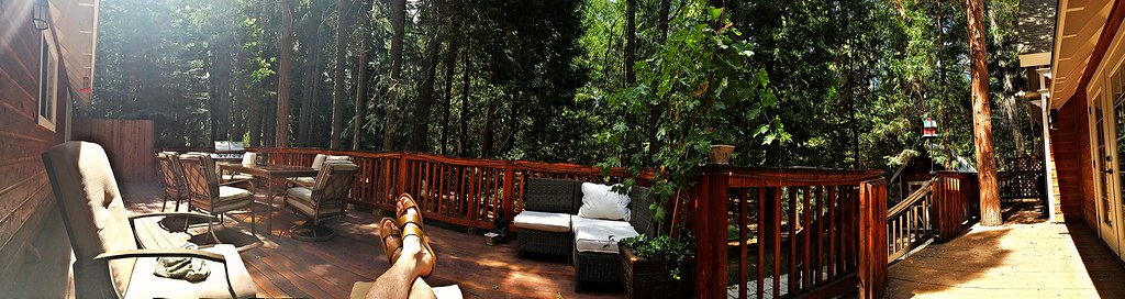
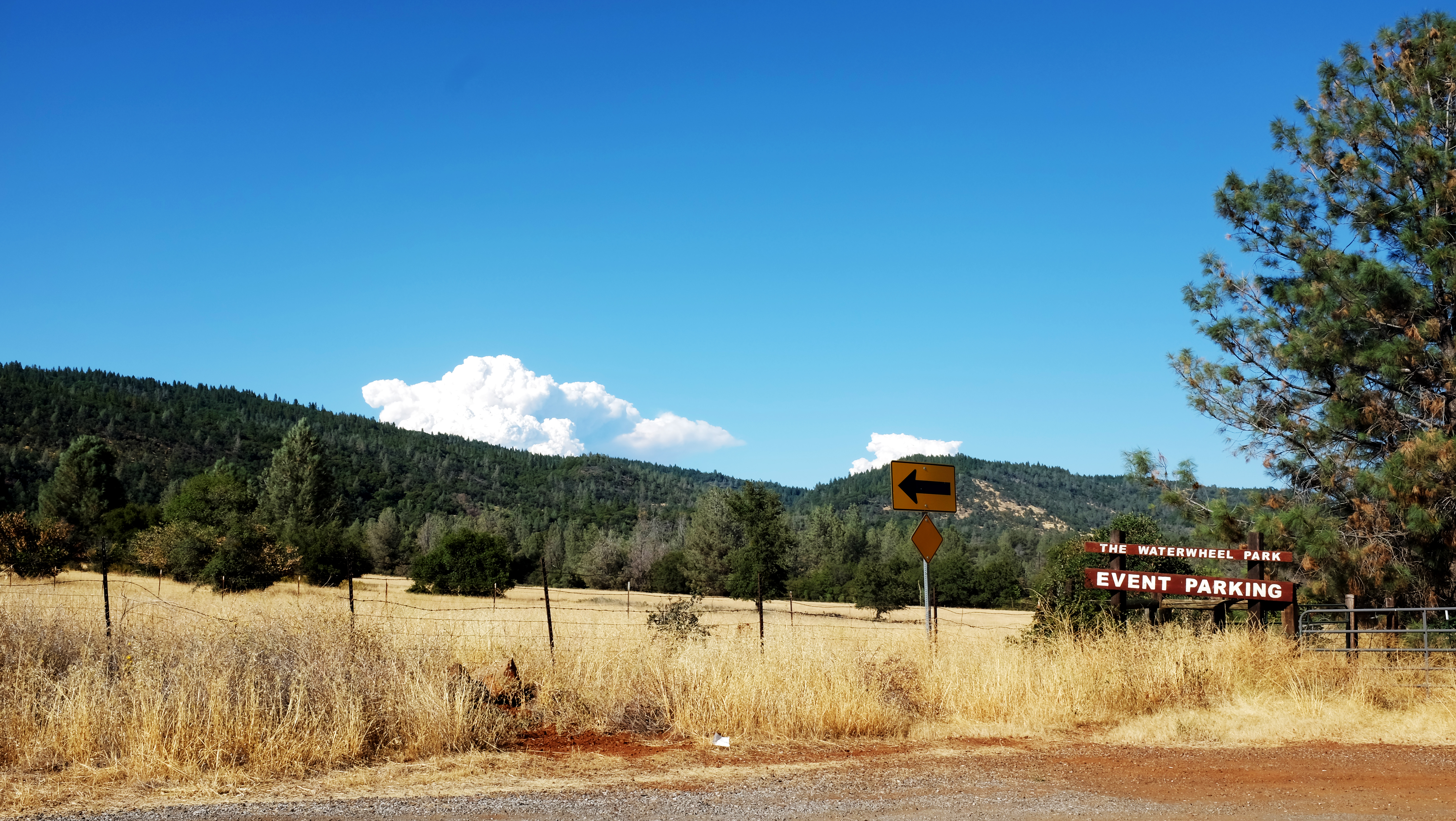
Panoramic view from Larissa's deck

Boreal (?) Bluet
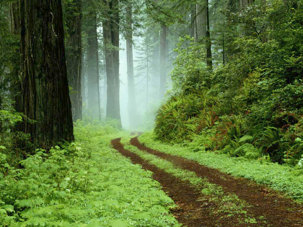
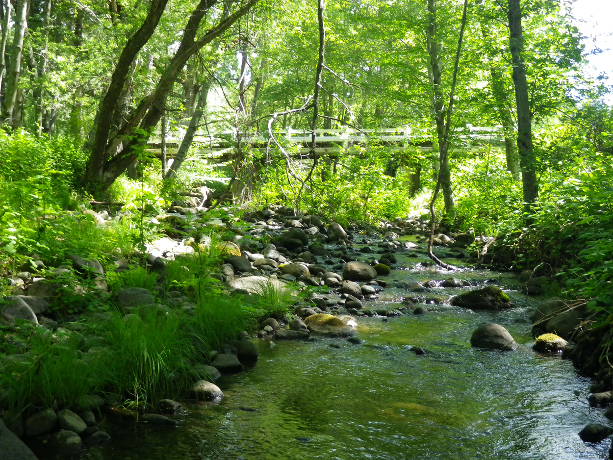
A forest path in Redwoods State Park, California.

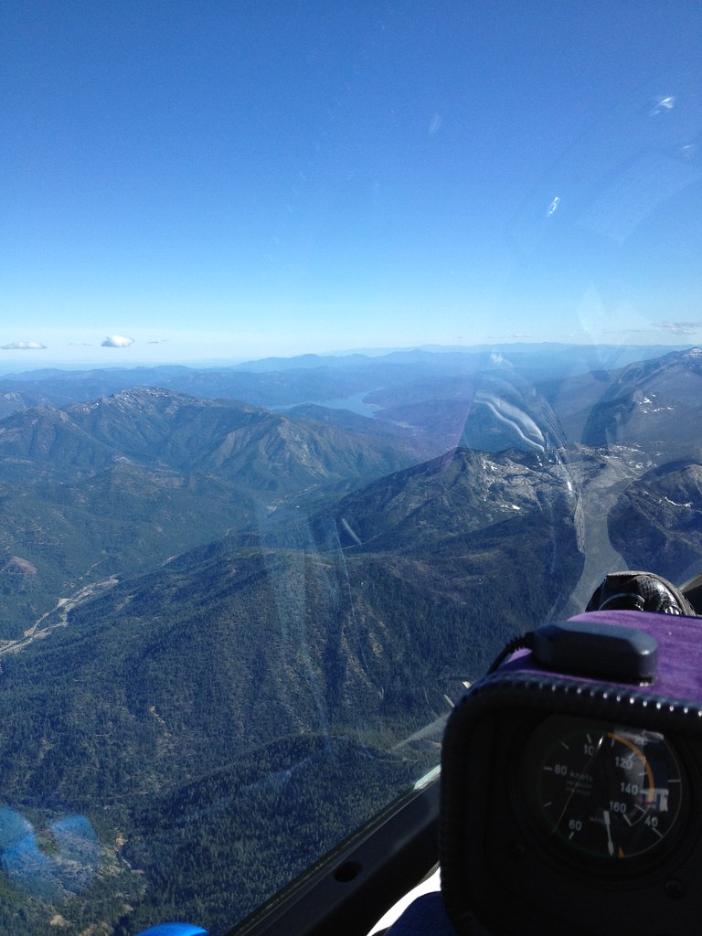
Lassen County Exploring

A forest path in Redwoods State Park, California.
Lassen County Exploring
Montague 2012

Mylitta Crescent

Mylitta Crescent
A closer look at the Wildfire

Mylitta Cresent

Sandhill Skipper
Ott-Stahl

Mylitta Crescent

Dun Skipper

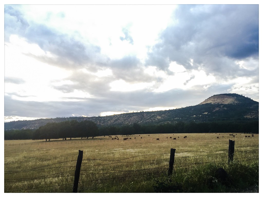
Exploring near Lassen National Park

Sandhill Skipper

Boisduval's Blue

Western Tiger Swallotail

Woodland Skipper

Exploring near Lassen National Park

Variable Checkerspot (Euphydryas chalcedona)
Topographic Map of Shasta Forest Dr, Shingletown, CA, USA
Find elevation by address:

Places near Shasta Forest Dr, Shingletown, CA, USA:
7493 Shasta Forest Dr
7174 Dogwood Cir
7374 Shasta Forest Dr
7354 Shasta Forest Dr
7295 Shasta Forest Dr
30763 Thumper Dr
7169 Shasta Forest Dr
30892 Dandelion Ln
30562 Thumper Dr
Shingletown
Shingletown Store Inc
31159 Woodridge Dr
6450 Wilson Hill Rd
Grace Lake
Doodlebug Lane
7355 Squaw Springs Rd
7546 Creekside Mobile Cir
30770 Battle Creek Bottom Rd
32632 Emigrant Trail
32669 Emigrant Trail
Recent Searches:
- Elevation of Corso Fratelli Cairoli, 35, Macerata MC, Italy
- Elevation of Tallevast Rd, Sarasota, FL, USA
- Elevation of 4th St E, Sonoma, CA, USA
- Elevation of Black Hollow Rd, Pennsdale, PA, USA
- Elevation of Oakland Ave, Williamsport, PA, USA
- Elevation of Pedrógão Grande, Portugal
- Elevation of Klee Dr, Martinsburg, WV, USA
- Elevation of Via Roma, Pieranica CR, Italy
- Elevation of Tavkvetili Mountain, Georgia
- Elevation of Hartfords Bluff Cir, Mt Pleasant, SC, USA