Elevation of Grace Lake, Shingletown, CA, USA
Location: United States > California > Shasta County > Shingletown >
Longitude: -121.86322
Latitude: 40.4830774
Elevation: 1061m / 3481feet
Barometric Pressure: 89KPa
Elevation Map:
Satellite Map:
Related Photos:
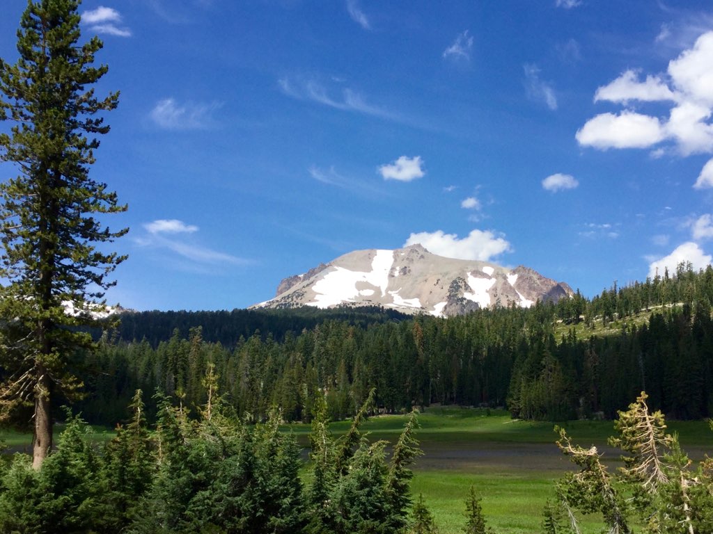
Roberts_80 Lassen Peak

Roberts_12 Fountain

Panoramic view from Larissa's deck

Roberts_7 Deck

Roberts_75 Summit Lake

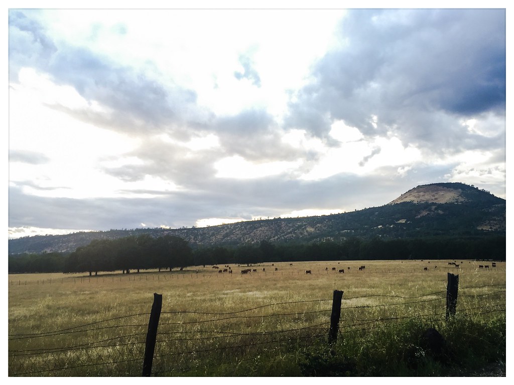
Sierra Nevada Landscape (Shasta County, California)
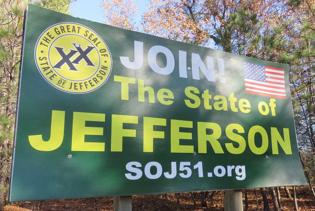
State of Jefferson Sign (Shasta County, California)

Western Tiger Swallotail

Common Roadside Skipper

California Tortoiseshell

A forest path in Redwoods State Park, California.

Lassen County Exploring
Lassen County Exploring

Going On a Lion Hunt

Roberts_81 Helen Lake

Horses enjoying freedom at the Wild Horse Sanctuary in Manton California

Sierra Nevada Landscape (Shasta County, California)

Off-grid-shipping-container-cabin-01

Lake McCumber Shingletown Ca.

L1020042.NEF
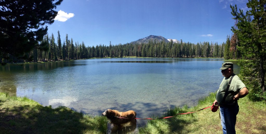
Roberts_76 Summit Lake

Lake McCumber East of Shingletown Ca. Lone canoe on the lake.

Lake McCumber
On The Road
Topographic Map of Grace Lake, Shingletown, CA, USA
Find elevation by address:

Places near Grace Lake, Shingletown, CA, USA:
6450 Wilson Hill Rd
7355 Squaw Springs Rd
Shingletown Store Inc
Shingletown
31159 Woodridge Dr
7546 Creekside Mobile Cir
32249 Rock Creek Rd
5397 Ole Ave
30892 Dandelion Ln
7174 Dogwood Cir
7493 Shasta Forest Dr
7493 Shasta Forest Dr
5512 Woodcutter's Way
5512 Woodcutter's Way
5512 Woodcutter's Way
32669 Emigrant Trail
32632 Emigrant Trail
30763 Thumper Dr
7758 Hidden Meadows Rd
7374 Shasta Forest Dr
Recent Searches:
- Elevation of Corso Fratelli Cairoli, 35, Macerata MC, Italy
- Elevation of Tallevast Rd, Sarasota, FL, USA
- Elevation of 4th St E, Sonoma, CA, USA
- Elevation of Black Hollow Rd, Pennsdale, PA, USA
- Elevation of Oakland Ave, Williamsport, PA, USA
- Elevation of Pedrógão Grande, Portugal
- Elevation of Klee Dr, Martinsburg, WV, USA
- Elevation of Via Roma, Pieranica CR, Italy
- Elevation of Tavkvetili Mountain, Georgia
- Elevation of Hartfords Bluff Cir, Mt Pleasant, SC, USA